BOU AVENUE
Mount Galatea
Dan Millar and I scrambled up Mount Galatea in the Chester Lake area of Peter Lougheed Provincial Park on 13 July 2002.  Other than a few exposed sections on the summit ridge, we encountered few difficulties on the way up.  The conditions at the summit on this day were so nice that we lingered there for over two hours soaking up the sun and the scenery as well as chewing the fat with a nice fellow by the name of Bruce Dunbar, who came up behind us.  On the descent, we took advantage of a huge snow slope running down the south face and avoided much of the rock and rubble we climbed on the way up.  While Bruce glissaded out of sight and left us in the dust, I was still somewhat intimidated by the steepness of the snow slope and decided to descend more slowly.  Dan, meanwhile, had neglected to bring his ice axe on this trip and was also descending cautiously.  As it turned out, the snow was quite soft, and we ended up plunge-stepping most of the way down.  Overall, this was a fabulous outing with just the right balance of fun, excitement and suffering.
The route is in great shape.
The summit of Mount Galatea is roughly where the cloud meets blue sky.  The scramble route follows the dry face to the right of all the snow (our descent route) and the skyline ridge to the right of the summit.
About a 33° angle.
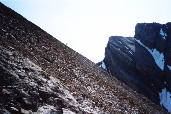
This photograph gives a rough idea of how steep the face is.  That's Dan on the horizon.
Ice cream would be nice right about now!
Dan stands on the 3185-metre summit of Mount Galatea, the highest peak in the Kananaskis Range.  That's Mount Assiniboine in the distance.
Where's that next foothold?
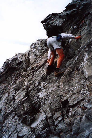
Dan descends a difficult rockband.
Skis would have been nice.
Dan plunge-steps down the snow slope.
Birdy num-num.
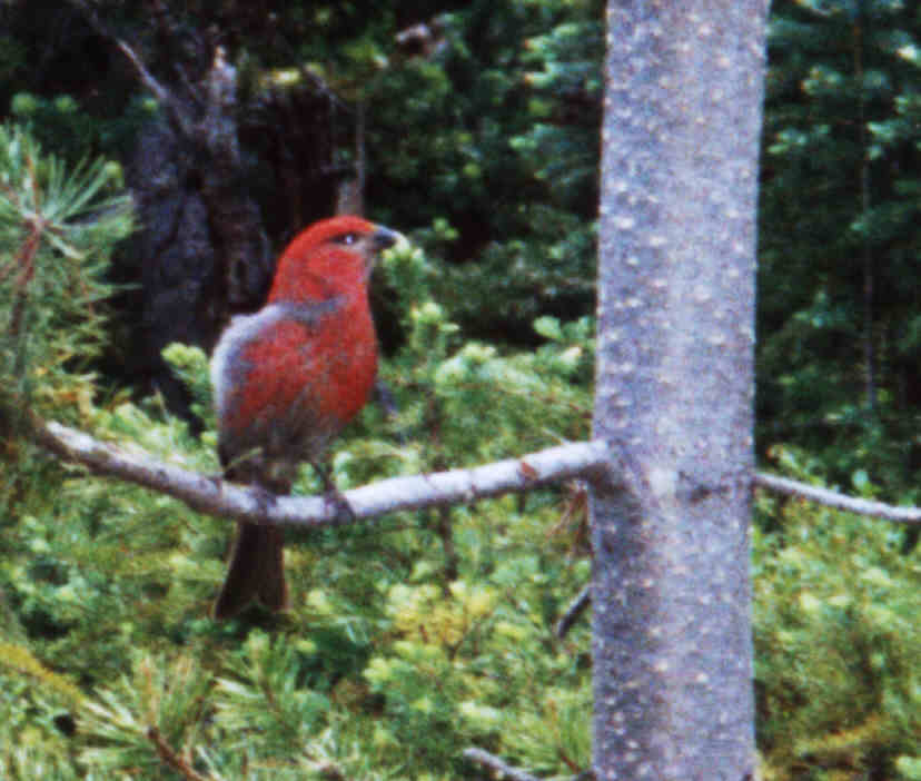
This male crossbill was perched in a tree not far from the trailhead.