|
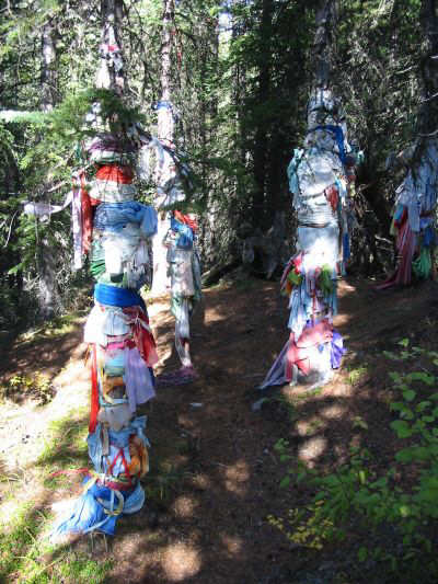
It looks like someone left their laundry
out in the woods (near the forks of King Creek Canyon). According
to Gillean Daffern, these cloths were placed by Stony Indians and are tokens
of prayers to the Creator with each colour signifying something different.
For example, red is an offering to the sun, blue to the sky, and green
to the earth. Black is never used. The trees that the cloths are
wrapped around are also supposedly special.
|
|
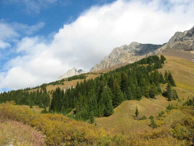
Mount Hood is right of centre. The
scrambler's route follows the grassy ridge in the distance up to the col
between Mount Hood and Mount Brock (out of sight to the right).
|
|
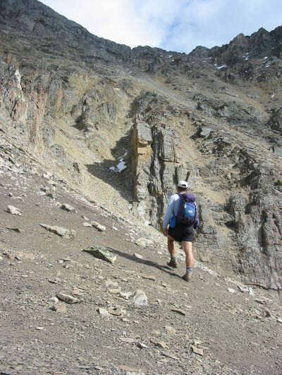
Sonny heads for the gully to the left
of the rock fin at centre. There are numerous options for scrambling
up to the Hood-Brock col.
|
|
The top of Mount Brock is obscured by
clouds in this view from the col.
|
|
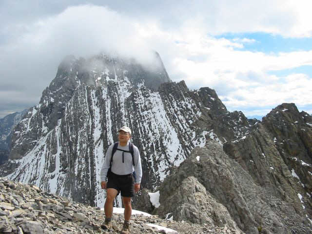
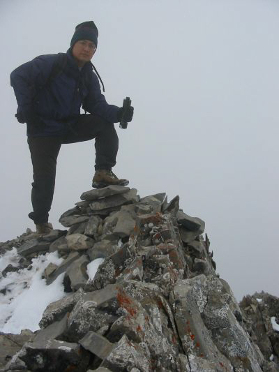
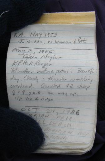
Sonny (with a goofy hat that makes him
look like a Conehead) stands on the 2903-metre summit of Mount Hood. To
see the first page of the summit register, click here.
|

|
On his way back to the trailhead, Sonny
pauses to admire the steep walls of King Creek Canyon.
|