 |
Kelly and Dan would eventually climb
up the hill at right before working their way to the high point of
Bull Creek Hills at left. |
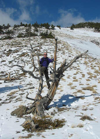 |
Dan pretends to be a monkey on this
dead tree. |
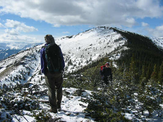 |
Dan surveys the rest of the route to
the high point of Bull Creek Hills. |
 |
Kelly works her way past some small
cliff bands near the top. |
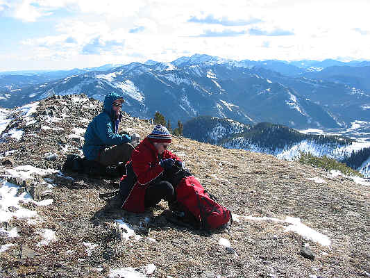 |
At the top, Dan and Kelly sit down to
enjoy a well-deserved lunch. Mount Burke is visible on the
horizon. |
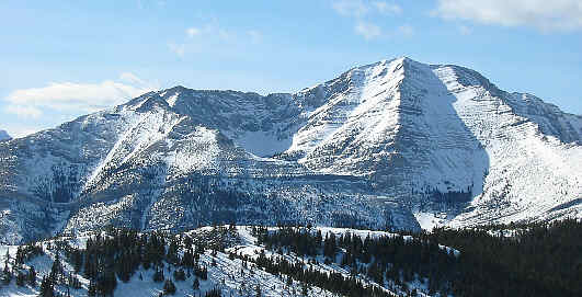 |
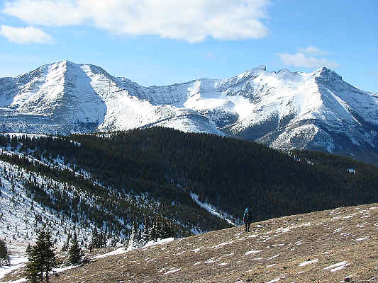
Holy Cross Mountain |
 |
This is the view of the Highwood Range
from the high point (2179 metres) of Bull Creek Hills. |
 |
Dan descends to the saddle just west
of the high point. Holy Cross Mountain and Mount Head dominate
the view. |
 |
Kelly and Dan traverse the hillside en
route to the ridge in the middle foreground. |
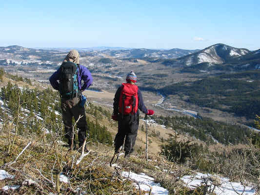 |
Dan and Kelly pause to admire the
rolling foothills surrounding the Highwood River. |
I would return to do the loop hike in reverse in