

Leaving my car at 4:39 PM, I trudged up the Lone Pine ski run to the top of the North American chairlift. Pesky mosquitoes provided ample motivation for me to keep moving up this grassy slope. Once I got past the top of the chairlift, the mosquitoes thankfully disappeared. I had some difficulty scrambling up the cliff band right behind the chairlift station, but once I got into the big gully above it, I made good progress and reached the ridge crest at 5:59 PM. The two summits of Mount Norquay are separated by a significant col. Seeing the elevation loss required to reach the higher west summit almost made me give up, but I continued north along the ridge toward the east summit anyway. The crux (going up the bump just before the east summit) was dry, but I wasn't sure if I would be able to downclimb it if I returned that way. I reached the east summit at 6:45 PM.
Despite the elevation loss, the remainder of my climb to the west
summit was surprisingly easy. I topped out at 7:37 PM. After
snapping some photos and signing the summit register, I began descending
at 8:00 PM. Back at the col, I decided to avoid the crux and
traverse below the east summit to where I originally gained the ridge
crest. This turned out to be a reasonable route for me, and I even
had a beaten path to follow most of the time. I regained the ridge
crest at 8:48 PM and quickly descended the big gully. Downclimbing
the cliff band behind the chairlift station was the most difficult part
of the whole trip for me, but I managed to get down unscathed. On
my way up the ski run, I had found a quarter in the grass. It
turned out to be a lucky quarter because just as I passed the upper
chairlift station on my descent, rain began pouring down on the area.
Although I was soaked, I was past all difficulties and easily hiked down
the Lone Pine ski run. As a bonus, the mosquitoes were neutralized.
I made it back to my car at 9:35 PM.
|
|
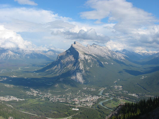
This is a nice view of Mount Rundle and the town of Banff from the upper slopes of Mount Norquay. |
|
|
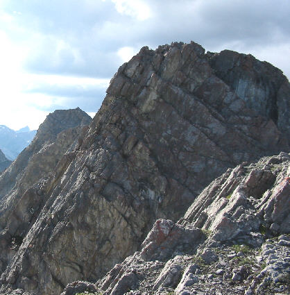
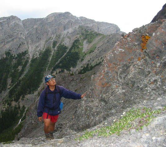
This is the crux of the scramble. The east summit is visible in the distance at left. |
|
|
Sonny approaches the east summit after surmounting the crux. |
|
|
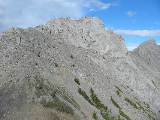
This is the east summit of Mount Norquay. |
|
|
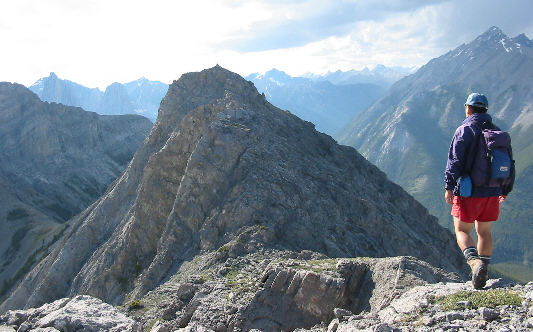
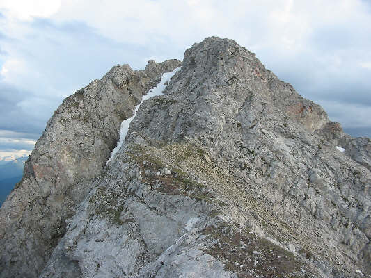
This is looking back at the east summit from the connecting ridge to the west summit. The col is out of the picture at bottom left. |
|
|
Sonny hikes up the easy ledges below the west summit. |
|
|
This is the final approach to the west summit. |
|
|
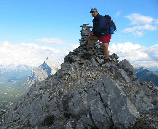
Sonny sits on the 2514-metre west (true) summit of Mount Norquay. Directly behind him is Mount Brewster. |
|
|
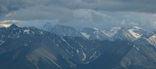
Mount Assiniboine is barely visible at left in this view south from the summit. |
|
|
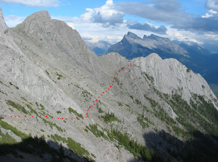
Sonny regains the ridge crest after traversing from the col. Click here to see Sonny's approximate traverse route. The west summit is visible in the distance. |
|
|
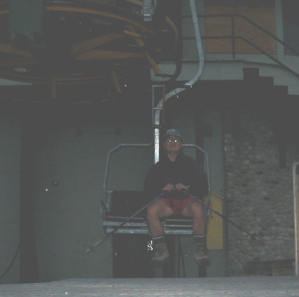
Sonny hopes in vain for a free ride down the mountain. |