 |
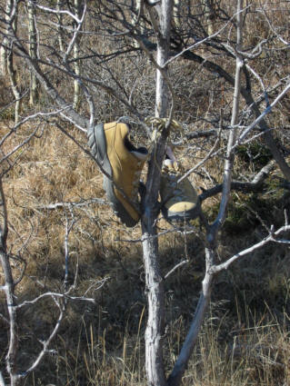
Dan leaves his shoes on a tree as a
prayer offering. |
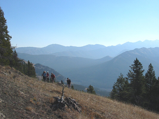 |
The group reaches the col and the end
of the exploration road. |
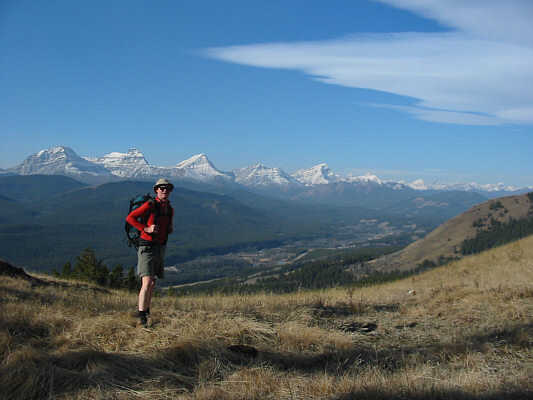 |
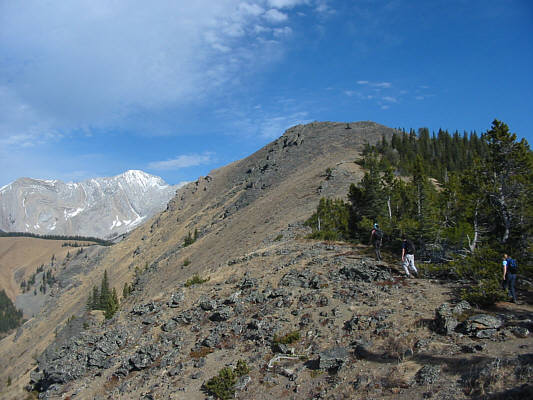
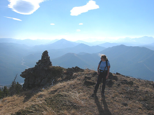
Dan stops and admires the nice view of
the Continental Divide. The five prominent peaks behind him are
(L to R) Mount Strachan, Mount Muir, Mount McPhail, unnamed, and
Mount Bishop. |
 |
The Limber pines on the grassy ridge
attest to the powerful winds that scour this area. |
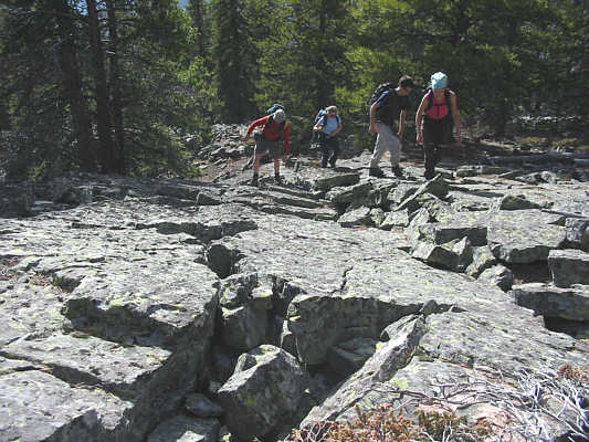 |
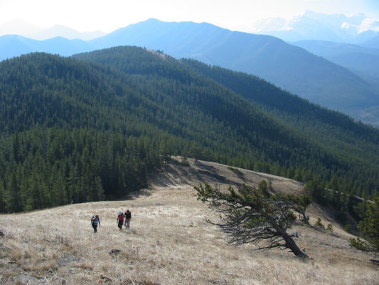
The group hikes up some rocky terrain. |
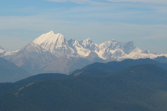 |
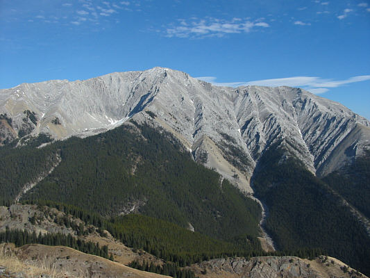
A clearing before the top of Junction
Hill grants this view of the Misty Range which includes (L to R) Mist
Mountain, Storm Mountain, and Mount Rae. |
 |
The group approaches the top of Junction Hill. |
 |
Kelly passes by the first of two
cairns on top of Junction Hill. |
 |
At the top of Junction Hill (2233
metres) are (L to R) Dan, Kelly, Sonny (kneeling), David, and
Marie-Mai. Mount Head is visible at right. |
 |
This is the west side of Holy Cross
Mountain. |
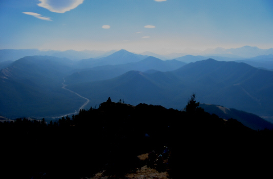 |
This is looking south from the top of
Junction Hill. |
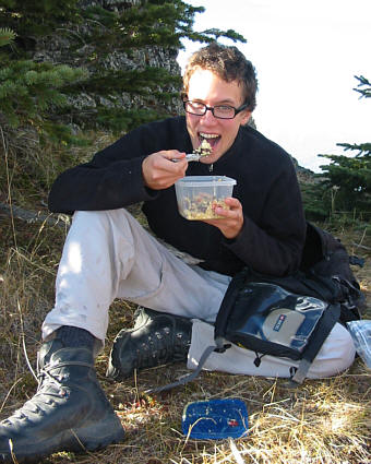 |
Forgetting to bring a spoon, David
resorts to eating couscous with a stick! |
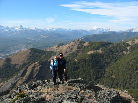 |
Kelly and Sonny pose for one more
panoramic photo. Behind them are the Cat Creek Hills. |