 |
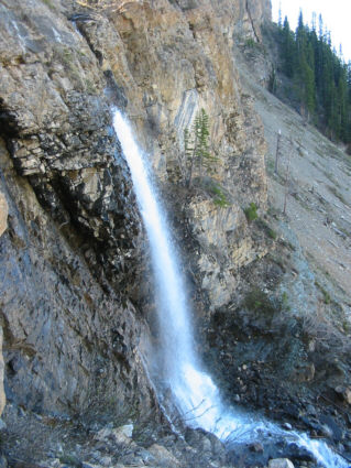
This is the first waterfall
encountered on the trail up Hector Creek. |
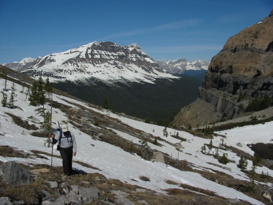 |
Sonny tries to avoid the snow in the
upper valley. Bow Peak dominates the background. |
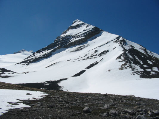 |
This is Little Hector. Sonny
would eventually ascend the rubble slope at far right before going up
the right-hand skyline. |
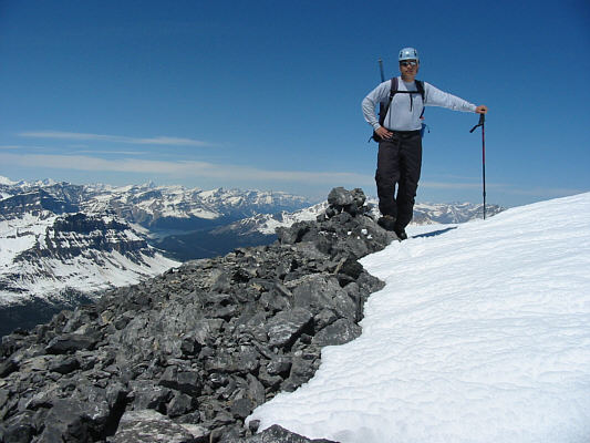 |
Sonny stands on top of Little Hector
(3125 metres). |
 |
This is Mount Willingdon
(3373 metres) with the left peak being the highest. |
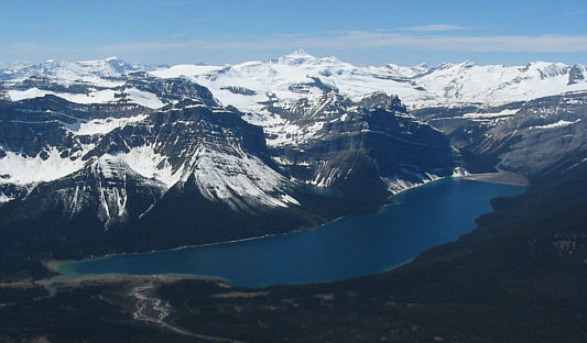 |
Hector Lake and snowy Mount Balfour
garner a lot of attention to the west. It's worth noting how
unusually deep blue the colour of Hector Lake is on this day (it's
usually turquoise due to glacial suspensions). |
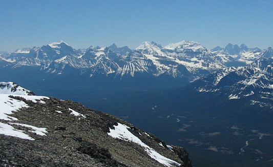 |
This view to the southwest includes
such big peaks as Mounts Temple (left), Lefroy
(centre), Victoria (right), and the Goodsir Towers (far right). |
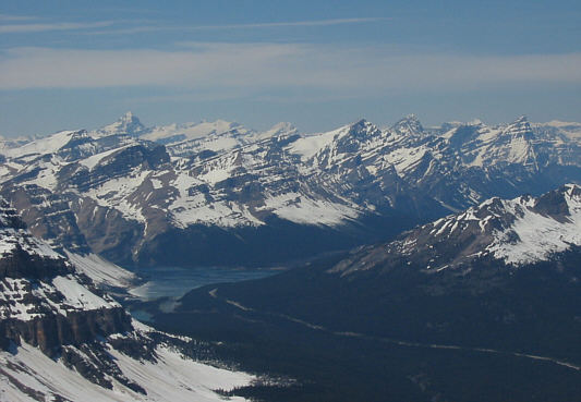 |
In this view to the northwest, the
striking peak on the horizon at left is Mount Forbes
(3612 metres). |
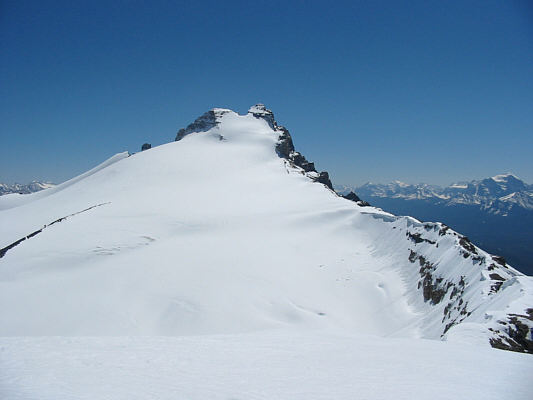 |
Mount Hector and the Hector Glacier |
Although descending Little Hector was straightforward, I had some
difficulty getting across Hector Pass because of the abundance of deep
snow. My
pace slowed considerably as I hiked up more loose rubble on the other side
of the valley. Higher up, I avoided the big snow patches as
much as possible, and after what seemed like an eternity, I finally
topped out on the unnamed peak southeast of Mount Andromache. What
I saw was a little troubling. A veritable carpet of snow covered
much of the intervening ridge
between the two summits, but I was more alarmed by the amount of
snow plastering Mount Andromache's northwest ridge--my exit route.
The day was already getting late, and the option of returning the long
way via Hector Pass was becoming more unsavoury by the minute. I
decided to press on with the hopes that the descent down my snowy exit
route would not be too problematic.
As I traversed the intervening ridge between the unnamed peak and Mount
Andromache, I was able to stick to bare rocks for much of the way, but the
last stretch of snow before the summit was unavoidable. Mercifully, the
snow here had not softened up that much yet, and I easily tramped up the last
few metres to the top. Incredibly, it had taken me almost five
hours to go from the top of Little Hector to Mount Andromache's summit.
As it turned out, the snow along the northwest ridge was not as bad as I
had anticipated, and I had less problems descending that than some of the
ankle-breaking rubble slopes further down. After a long and tiring stumble down the
mountain, I regained the Icefields Parkway and savoured every step on
dry, flat pavement back to my car. My round-trip time was a fat 12.5
hours.
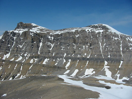 |
Mount Andromache (left) and Unnamed |
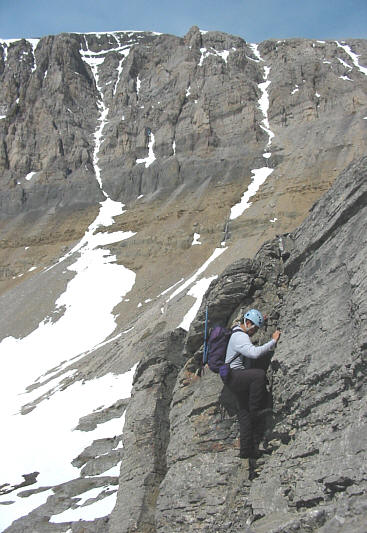 |
Tired of all the snow and rubble,
Sonny looks for something more solid to climb on. |
 |
A strange, reddish cloud appears in
the distance behind Little Hector. |
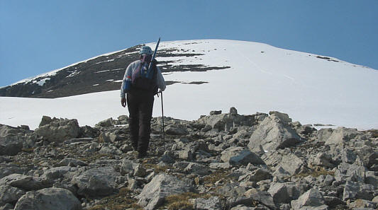 |
Sonny approaches the top of the
unnamed peak. |
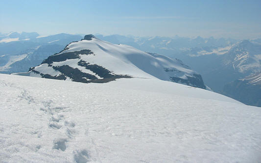 |
From the top of the unnamed peak, this
is the view of the intervening ridge to Mount Andromache. |
 |
The final summit block looks a little
intimidating with all the snow. |
 |
Sonny holds up the register canister
on the summit of Mount Andromache (2996 metres). |
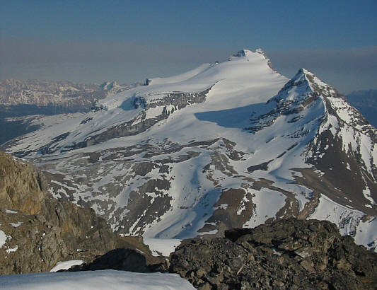 |
Mount Hector (3394 metres) and Little
Hector dominate the view to the south. |
 |
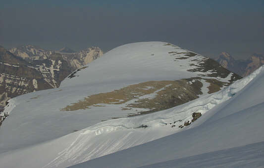
This is looking down the northwest
ridge from the summit. |
 |
This is the unnamed peak as seen from
Mount Andromache's northwest ridge. |
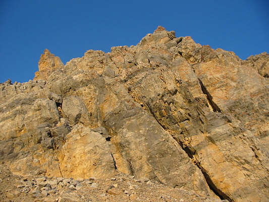 |
The late day sun adds colour to these
cliff bands on the lower mountain. |


