
The chilly wind and
lateness of the day prompted me to get moving after only seven minutes at
the summit, and I was back at the false summit by 6:10 PM.
Descending the break in the rock bands, I glissaded down the aforementioned
avalanche-prone terrain and in the process triggered a small slide that
went crashing over the cliffs below. After that, I angled back over
to my ascent route and plunge-stepped the rest of the way down to the
drainage. An easy plod out had me back at my car by 7:21 PM.
|
|
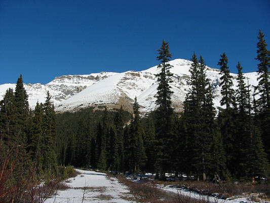
This is Observation Peak as seen from the parking area. The true summit is the flat top at left. |
|
|
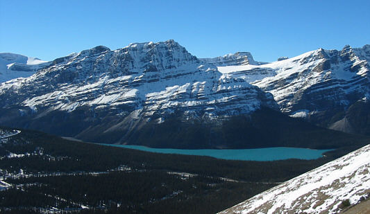
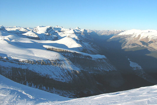
Here are Caldron Peak and Peyto Lake as seen from the lower slopes of Observation Peak. |
|
|
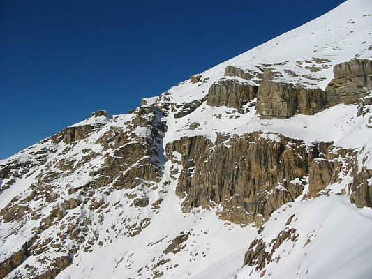
These are the "short cliffs" about halfway up the mountain as described by Kane. |
|
|
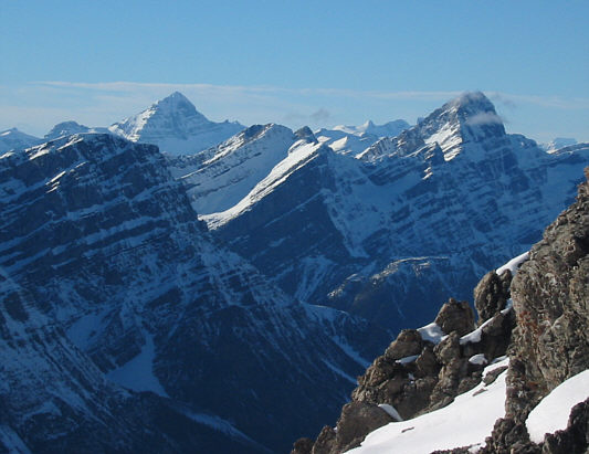
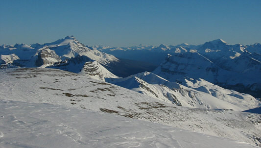
Further up the slope, Mount Forbes (left) can be seen to the northwest. At right is Howse Peak. |
|
|
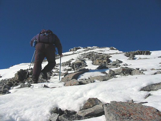
Sonny works his way up to the false summit. |
|
|
This is the view of the true summit (left) from the false summit. |
|
|
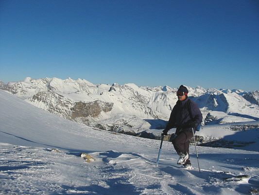
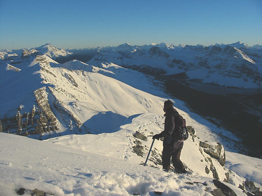
Sonny trudges along the very broad summit ridge. At left on the horizon is Mount Willingdon. |
|
|
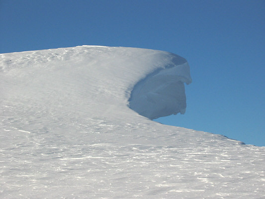
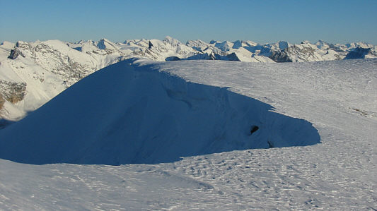
This is one of the overhanging cornices near the summit. |
|
|
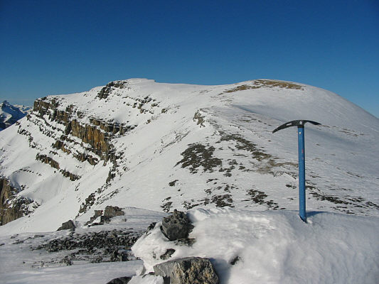
Sonny plants his ice axe on the snow-covered summit of Observation Peak (3174 metres). |
|
|
This is the view to the north from the summit. At right is Isabella Lake. |
|
|
The view to the south includes more familiar peaks such as Mount Hector (left) and Mount Temple (right). |
|
|
Here is another look at the cornices on the east side of Observation Peak. |
|
|
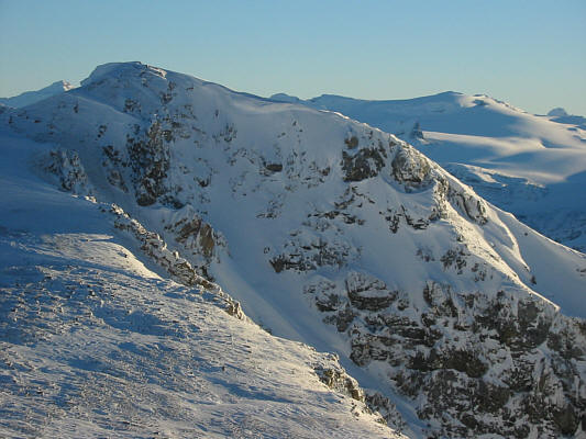
This is looking back at the false summit from the broad summit ridge. |
|
|
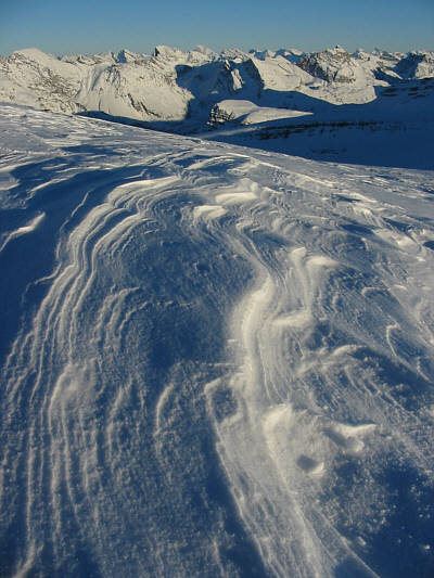
The wind can create some interesting patterns in the snow. |
|
|
After climbing back over the false summit, Sonny retraces his steps down the ridge. Bow Lake is barely discernible in the shadows at right. |
|
|
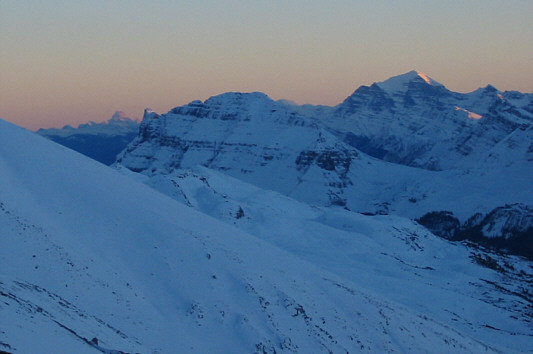
Twilight descends upon the Canadian Rockies. While Bow Peak (middle) is completely in shadow, Mount Temple (right) still has some alpenglow. |
|
|
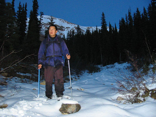
Sonny hikes down the drainage in the growing darkness. The false summit of Observation Peak is visible behind him. |