BOU AVENUE
Pasque Mountain
On 15 May 2005, Joanne Francis, Dan Millar, Kelly Wood and I hiked up Pasque Mountain at the extreme southern end of Kananaskis Country.  Despite having to trudge through some marshy cutblocks at the beginning of the trip, we had no problems following the old exploration road up to the "layabout meadow" as described by Gillean Daffern.  Beyond this point, the road was choked with hip deep snow, and despite following in the tracks of some previous intrepid hikers, our progress slowed to a crawl, quite literally in some places.  After about an hour of stumbling, sinking and swearing, we finally emerged from the trees onto solid ground again and easily gained the crest of Pasque Mountain's north ridge.  From there, our trek to the true summit took longer than expected, but I thoroughly enjoyed the whole ridge walk which includes a few sections of easy scrambling and some very mild exposure.  For our return trip, we basically retraced our steps back down the north ridge and the exploration road.  After a second tortuous thrash through the hip deep snow, we all took an extended break at the "layabout meadow" before heading back to my car without any further problems.  Our round-trip time was about 8.5 hours.
A trekking pole would help a lot here! 
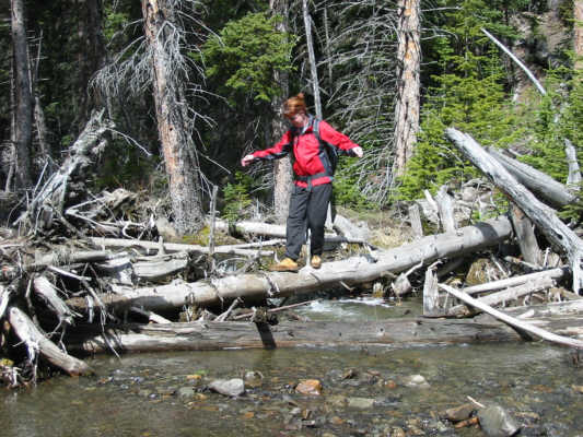
Joanne carefully crosses a small stream on a downed log.
It's interesting how the trees grow mostly on one side of this ridge. 
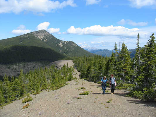
The old exploration road eventually winds its way up this broad ridge leading to the main mass of Pasque Mountain.
Post holing heaven! 
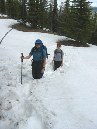
Kelly and Joanne still manage smiles as they struggle up the snow-choked road.
Still a long ways to the true summit... From here, the true summit (visible at left) is still almost three kilometres away.
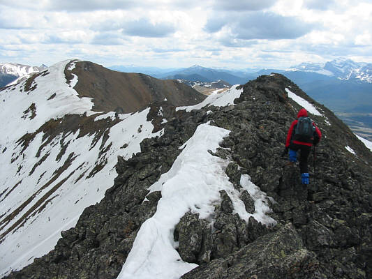
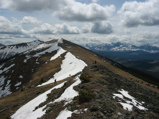
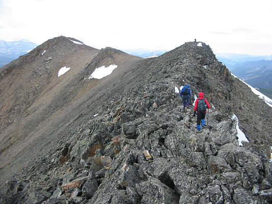
Some scrambling required. Closer to the true summit (left), the ridge becomes more narrow and rocky.
Keep going south? 
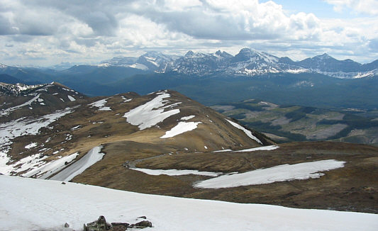
This is the view south from the true summit of Pasque Mountain.  Some of the peaks visible in the distance include Tornado Mountain, Cache Creek Elevators and Beehive Mountain.
Check out Joanne's sexy feet! 
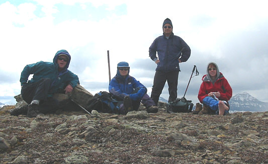
Dan, Kelly, Sonny and Joanne relax on the 2543-metre summit of Pasque Mountain.
Seems more interesting returning the same way than completing the horseshoe. 
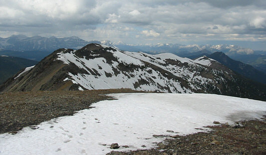
This is the north ridge of Pasque Mountain as seen from the summit. 
Not bad for a novice scrambler! 
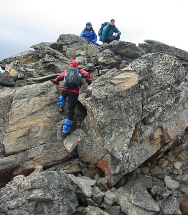
Kelly and Dan watch as Joanne scrambles up a rock band on the return trip.
We 'lichen' it! The lichen on these rocks are particularly striking.
Hmmm...that north summit looks higher... 
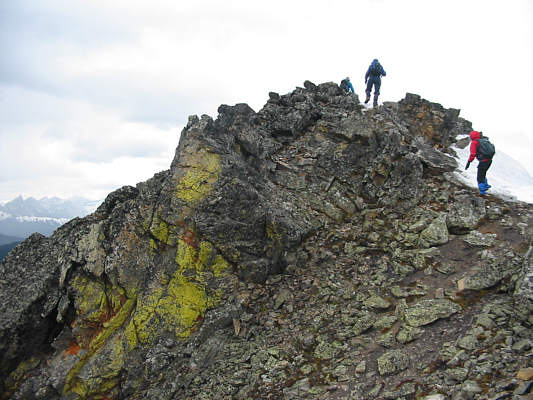
Dan (on the knob at right), Kelly and Joanne work their way back to the lower north summit of Pasque Mountain.
Possible future scramble? 
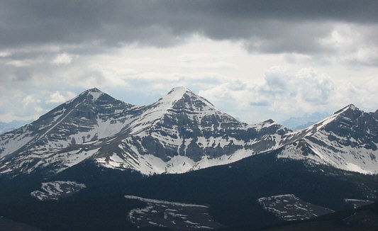
This is Mount Gass.  The higher summit is on the left.
I think he got the point. 
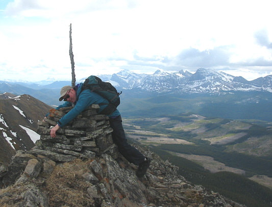
Dan appears to have inadvertently impaled himself on the stick protruding from the cairn on the north summit.  According to Gillean Daffern, this cairn was built in 1915.  It is still in solid shape.
Look at the 'birdie'! 
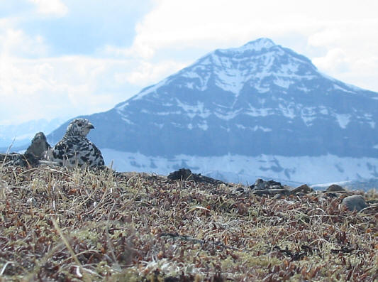
A lone ptarmigan keeps an eye out for dangerous predators and intrusive photographers.  The peak in the background is sometimes controversially referred to as Mount O'Rourke.
Should have brought along Krazy Karpets! 
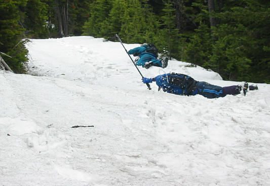
Sick of constantly sinking up to their hips, Dan and Kelly try crawling and rolling over the surface of the snow.
That thing is bloody heavy!  Imagine having two of those on your head 24/7! 
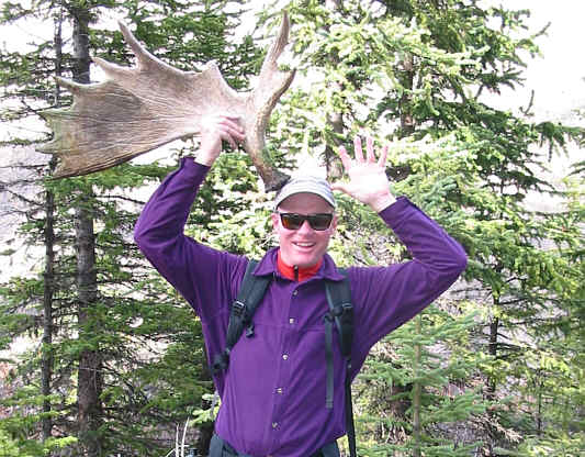
Dan clowns around with a moose antler he found near the cutblocks.