 |
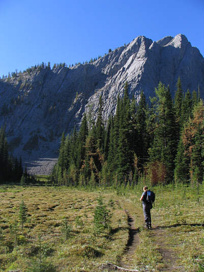
Kelly crosses Bumpy Meadows. |
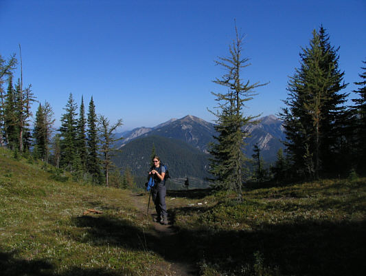 |
Kelly reaches 2256-metre Pedley Pass. |
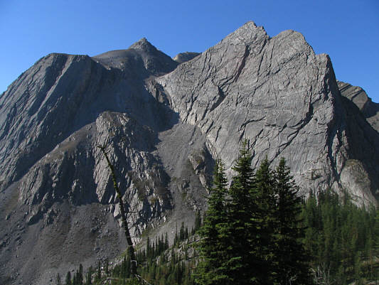 |
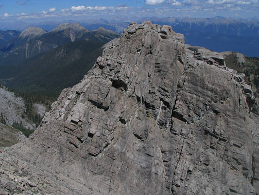
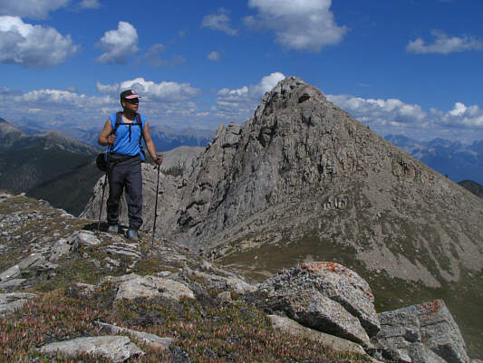
This is Mount Aeneas as seen from the
ridge southwest of Pedley Pass. |
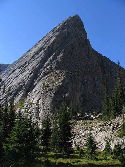 |
A spectacular buttress towers above
the entrance to the basin. |
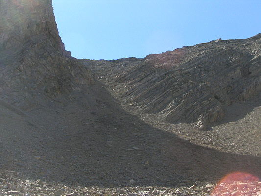 |
This is the scree slope at the back of
the basin. |
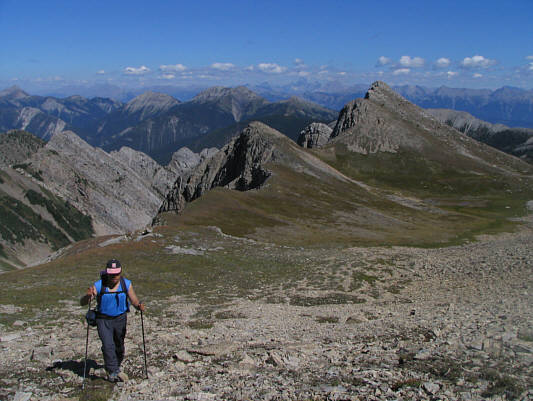 |
Sonny climbs up above the plateau.
Two of the sub-peaks he would later bag are visible across the
plateau. |
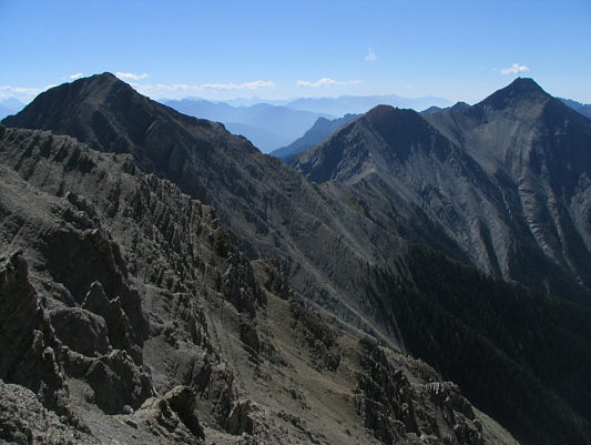 |
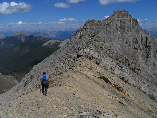
This is the connecting ridge to Chisel
Peak at far right. |
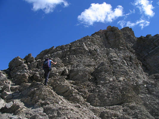 |
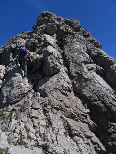
Sonny scrambles up the west ridge of
Mount Aeneas. |
 |
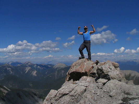
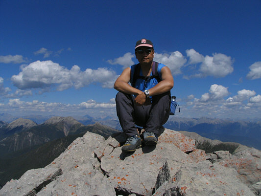
Sonny tags the cairn on the 2675-metre
summit of Mount Aeneas. |
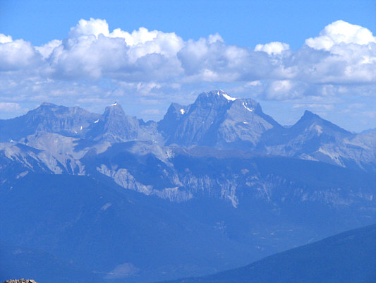 |
The Royal Group can be seen to the
northeast. |
 |
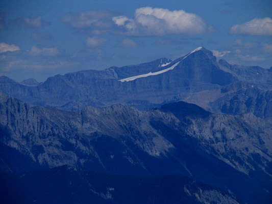
Mount Assiniboine is the most
prominent peak to the north. |
 |
Sonny approaches the first sub-peak to
the northeast. |
 |
The second sub-peak looks a little
more challenging. |
 |
Sonny scrambles up the second
sub-peak. |
 |
Sonny celebrates atop the second
sub-peak. |
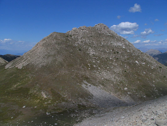 |
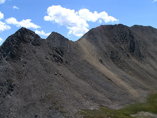
This is the third sub-peak that Sonny
would climb. |
 |
Sonny sits contentedly on the third
sub-peak. |
 |
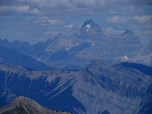
Mount Joffre is another readily
recognizable peak to the east. |
 |
This is looking back at the first two
sub-peaks and the true summit (right) from the third sub-peak. |
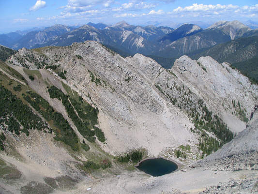 |
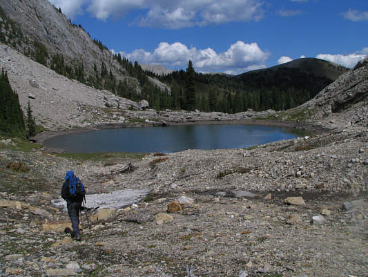
This is an aerial view of the tarn
near the entrance to the basin. |
 |
Sonny hikes up his fourth sub-peak on
his way back to the basin. The third sub-peak is behind him. |
 |
Kelly approaches the tarn on her way
back to Pedley Pass. Pedley Ridge is visible in the distance at
far right. |
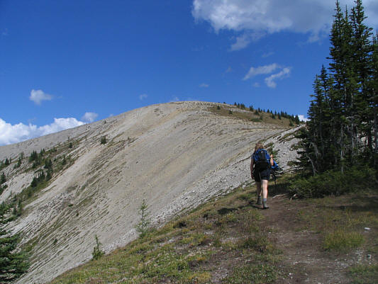 |
Kelly hikes up Pedley Ridge. |
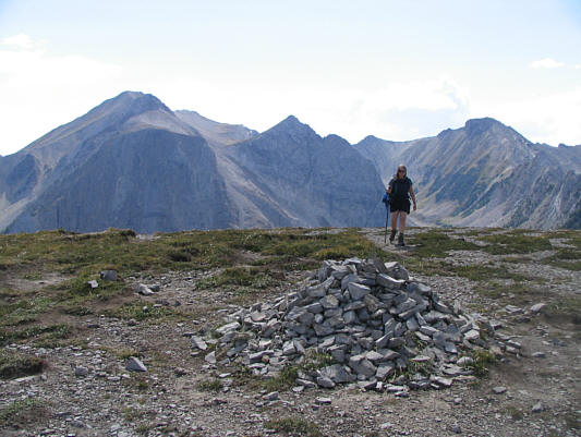 |
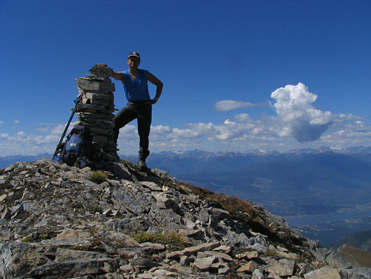
There is a large cairn marking the
2395-metre summit of Pedley Ridge. Mount Aeneas (left)
dominates the background. |
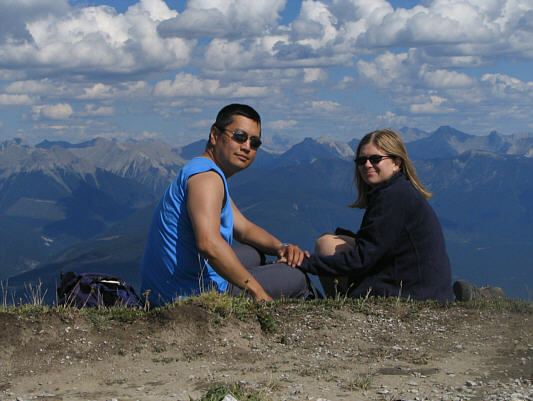 |
Sonny and Kelly relax atop Pedley
Ridge. |
