I continued muddling my way up and right through some steep and unpleasant terrain. In hindsight, I probably didn't go far enough right of the pinnacle. As a result, I ended up climbing numerous difficult cliff bands before reaching the edge of a huge scree ramp which was flanked by some enormous rock walls (large enigmatic cairn here). I had no doubts that I had been way off route as it had taken me a whopping 3.5 hours just to get to this point from the campground! At the top of the ramp, the route became clearer, but I still had a long ways to go. More hands-on scrambling and a long plod followed. I was running on fumes by the time I reached the summit.
Because I could not remember where
Kane's alternate descent routes went, I elected to return roughly the
same way. Unfortunately, I made the mistake of continuing down the
aforementioned scree ramp which ultimately cliffs out. My only
option then was to traverse over to the same difficult cliff bands I had
ascended earlier. Descending these same difficult cliff bands
turned out to be quite harrowing as the rock was generally down-sloping
and rotten. At one point, I even had to jump down a two-metre
drop-off! Luckily the landing area was grassy, and I managed to get
down the rest of this section physically unscathed but mentally frazzled.
Back on easier ground, I simply made a beeline for Redearth Creek before
turning right and following game trails back to the campground. The
fast bike ride back to the trailhead (round trip time of 10 hours)
somewhat made up for this generally miserable outing--a lesson in the
dangers of getting off route.
|
|
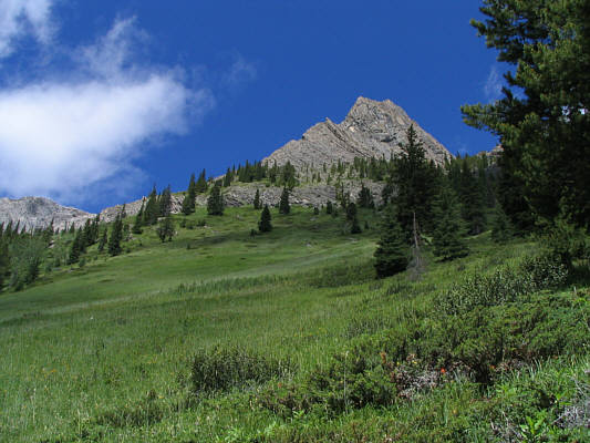
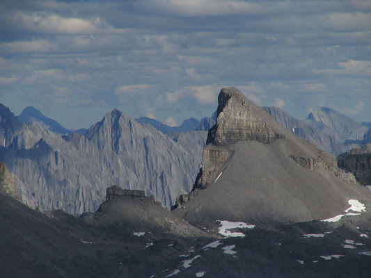
Here is the pinnacle mentioned by Kane. |
|
|
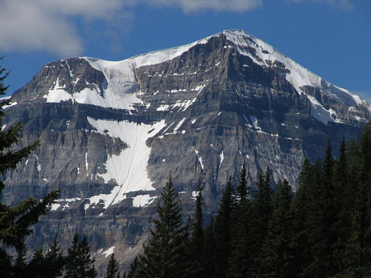
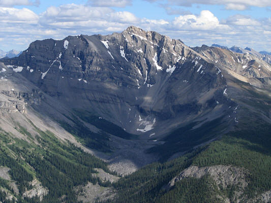
A break in the trees grants this view of Mount Ball. |
|
|
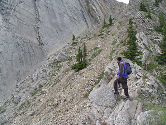
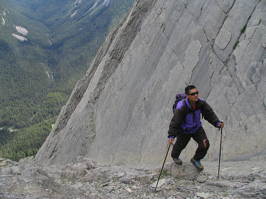
After some really tough climbing to get to this part, Sonny finds this ramp with an impressive wall of rock. |
|
|
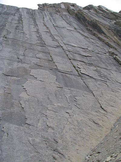
This is looking up the impressive wall of rock. |
|
|
Sonny climbs up the ramp. |
|
|
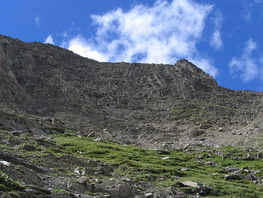
Different route variations are possible on the upper mountain. |
|
|
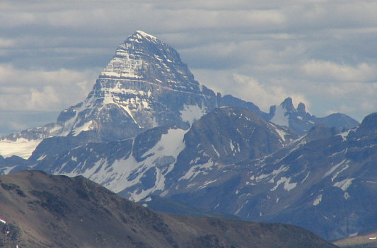
Mount Assiniboine rises up prominently to the south. |
|
|
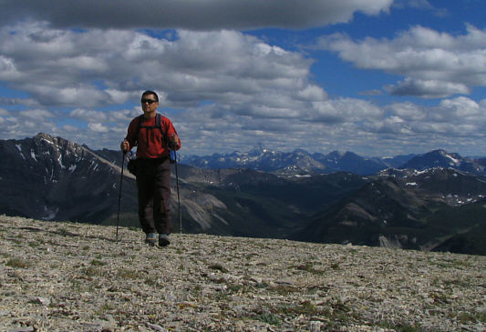
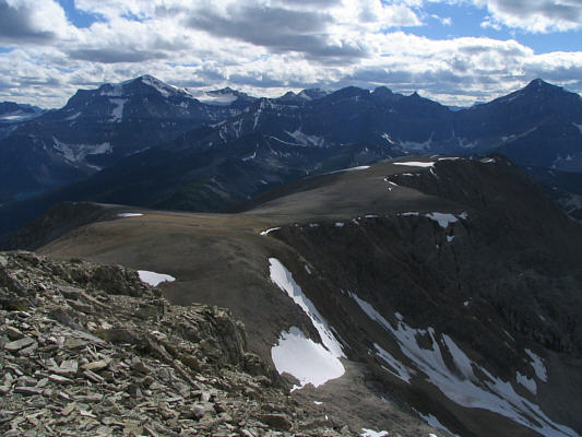
The final approach is surprisingly broad and long. |
|
|
Sonny finally reaches the 2794-metre summit of Copper Mountain. |
|
|
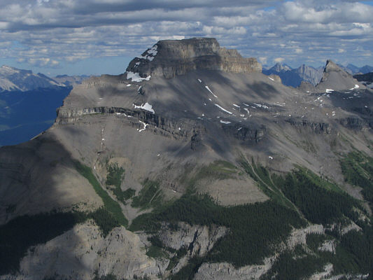
This is the broad west ridge of Copper Mountain. At left is Mount Ball, and at far right is Storm Mountain. |
|
|
Pilot Mountain dominates the view to the southeast. |
|
|
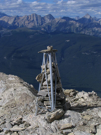
This tripod is great for taking self-portraits at the summit. |
|
|
This is the view of Mount Brett from the summit of Copper Mountain. |
|
|
This unnamed outlier is located between Pilot Mountain and Mount Brett. |
|
|
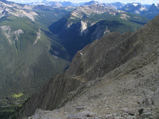
Here is a look at the upper mountain from just below the east side of the summit plateau. |