

Be sure to check out Linda's trip
report here.
|
|
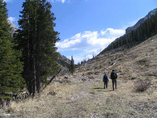
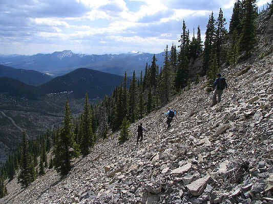
Kelly and Dan begin hiking beyond the end of the drivable road near Beaver Creek. |
|
|
This is the broad gully on the south side of Mount Livingstone. The crest of the south ridge is to the left. |
|
|
Dan picks a fairly difficult spot to gain the ridge crest. |
|
|
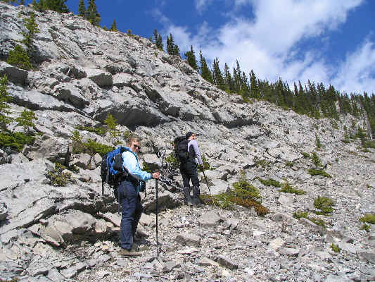
Kelly and Linda hike up further to find an easier way through this rock band guarding the ridge crest. |
|
|
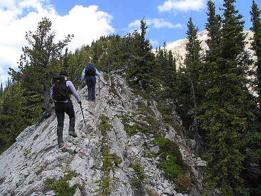
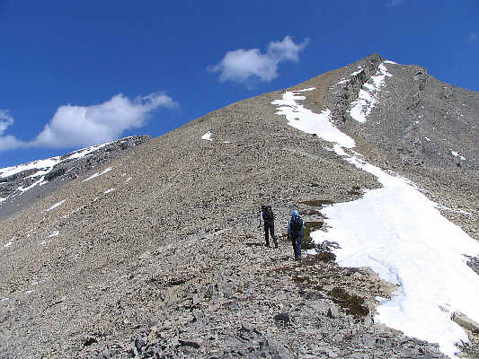
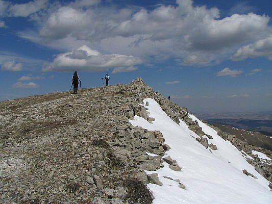
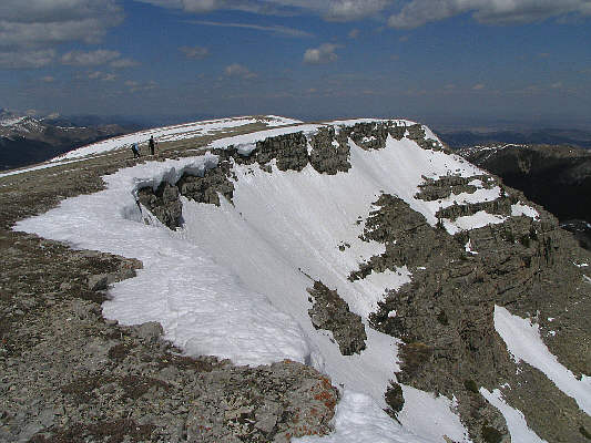
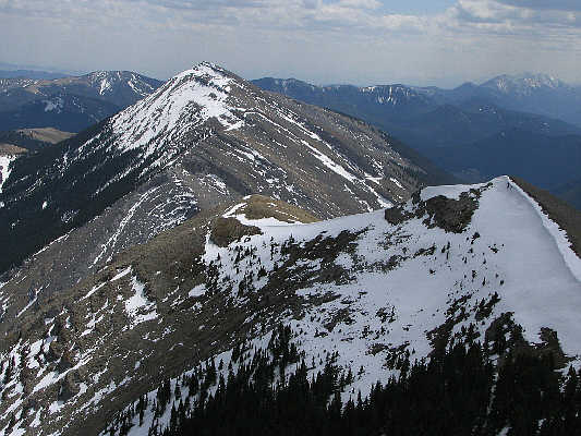
The ridge crest is quite narrow in some places. |
|
|
Kelly and Linda break out of the trees. |
|
|
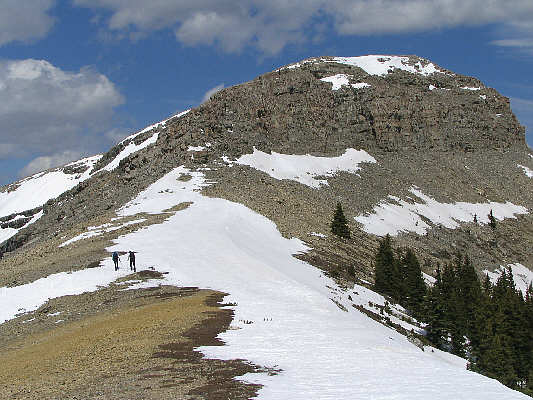
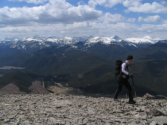
Linda and Kelly head up the large scree slope on the upper mountain. On the right is a false summit. |
|
|
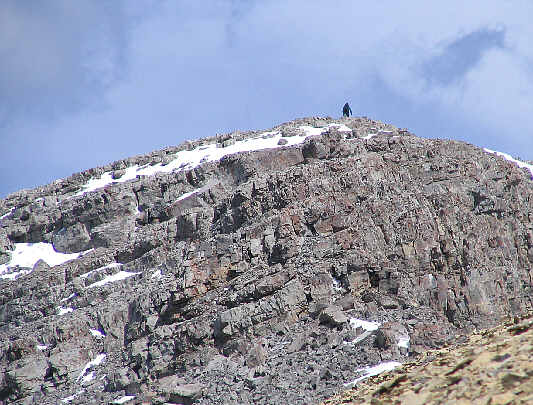
This is a zoomed-in shot of Dan surmounting the first rock band guarding the summit ridge. |
|
|
Here is another view of the first rock band guarding the summit ridge. |
|
|
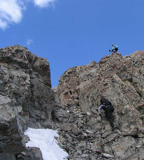
Linda scrambles up a weakness in the rock band while Kelly watches from above. |
|
|
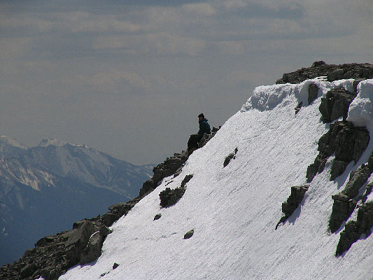
Linda is only minutes from the south summit. Some of the peaks on the horizon include Gould Dome, Tornado Mountain, the Cache Creek Elevators, and Mount Lyall. |
|
|
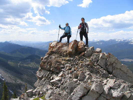
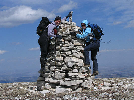
Linda and Kelly reach the 2423-metre south (true) summit of Mount Livingstone. Dan is just barely visible below and to the right of the summit cairn. |
|
|
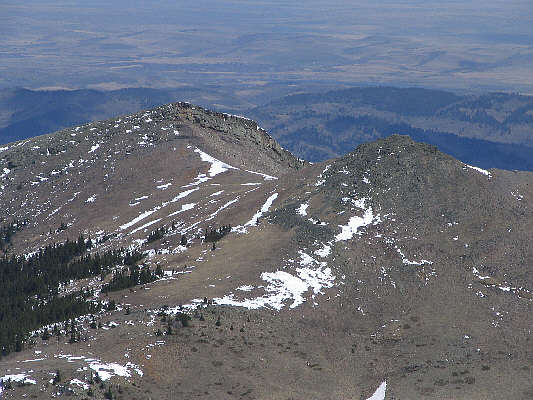
The twin peaks of Saddle Mountain are visible to the northeast. |
|
|
Kelly and Linda head for the north summit in the far distance. |
|
|
Having already visited the north summit, Dan waits patiently just below the south summit. |
|
|
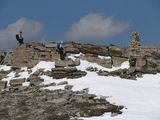
Linda and Kelly climb up a short rock band just before reaching the north summit. |
|
|
This is the enormous cairn at the north summit. |
|
|
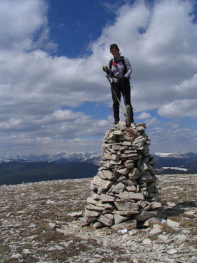
Linda climbs atop the north summit's cairn to get a GPS reading. |
|
|
This is Mount Lyall as seen from Mount Livingstone's north summit. |
|
|
Linda and Kelly head back to the south summit. |
|
|
This is looking south to Coffin Mountain from Mount Livingstone's south summit. |
|
|
Linda leads the way down the broad gully with Kelly and Dan following closely behind. |
|
|
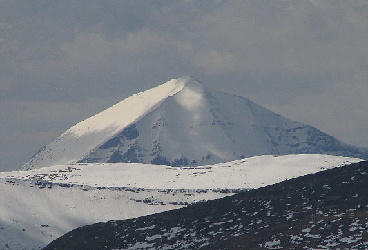
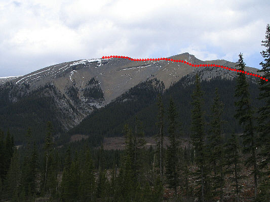
Here is a view of Mount Livingstone from Highway 940. The ascent route via the south ridge is shown. |