 |
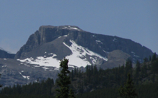
Mount Remus is readily visible from
the trailhead parking lot near Little Elbow Campground. |
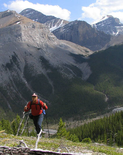 |
Sonny quickly gains elevation high
above Little Elbow River. Across the valley are Mounts Glasgow
(left) and Cornwall (right). |
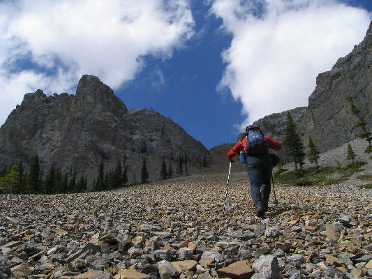 |
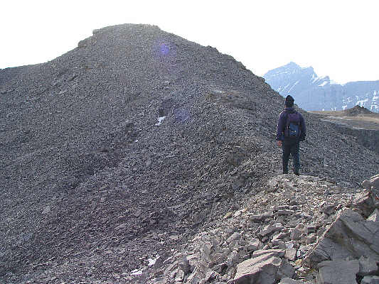
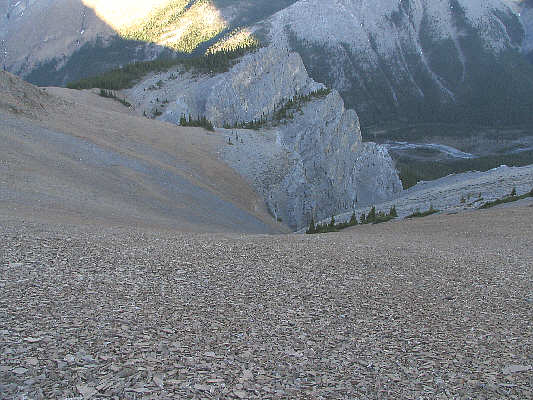
Mount Remus has no shortage of
treadmill scree! Sonny would eventually traverse left below the
cliffs to find a more appealing ascent route than this long and brown
scree gully. |
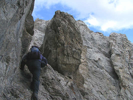 |
Sonny scrambles up behind a pinnacle
to gain the east ridge of Mount Remus. |
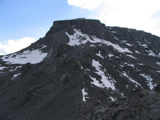 |
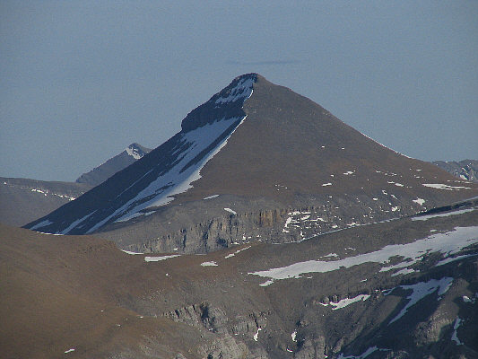
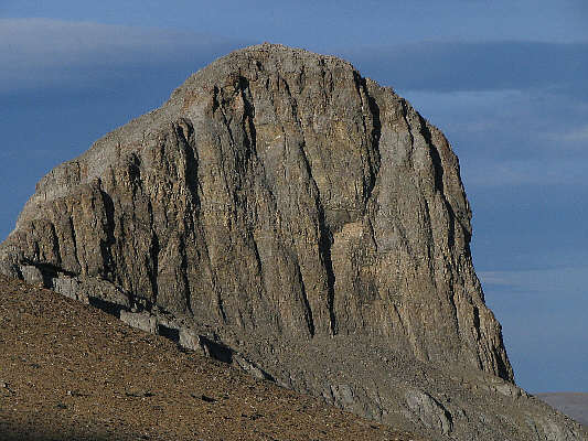
This is the summit block of Mount
Remus as seen from the east ridge. |
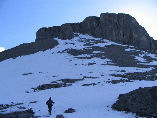 |
Sonny climbs up the final slope before
the crux chimney. |
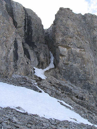 |
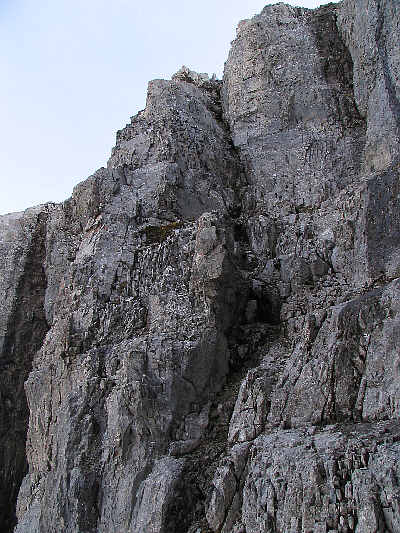
This is the crux chimney. |
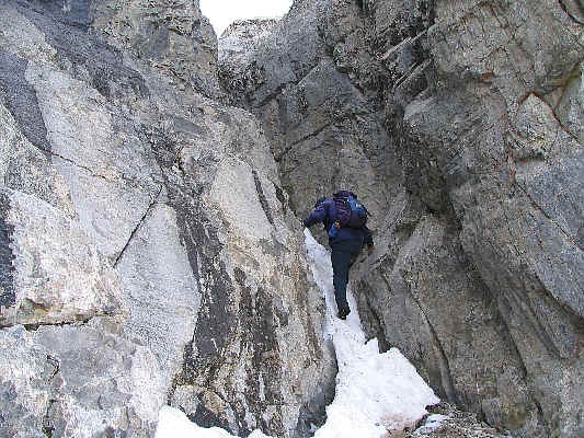 |
Sonny kicks steps in the snow to climb
up the chimney. |
 |
Sonny takes the last few steps before
the summit. In the hazy distance at right is Fisher Peak. |
 |
Sonny plants his foot on the cairn at
the 2688-metre summit of Mount Remus. At right is Mount
Romulus. Note the Alberta Centennial Mountain Expedition
register container. |
 |
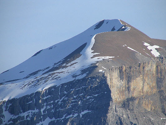
To the southwest is Mount Blane.
Just left of Mount Blane is "The Blade". |
 |
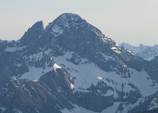
Mount Glasgow dominates the view to
the southeast. |
 |
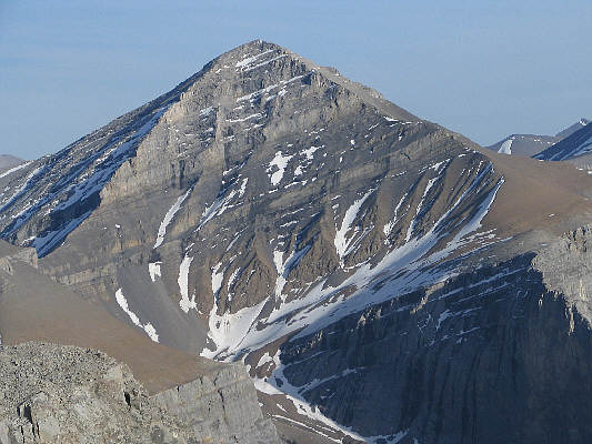
To the south is Mount Cornwall. |
 |
To the south-southeast is Banded Peak. |
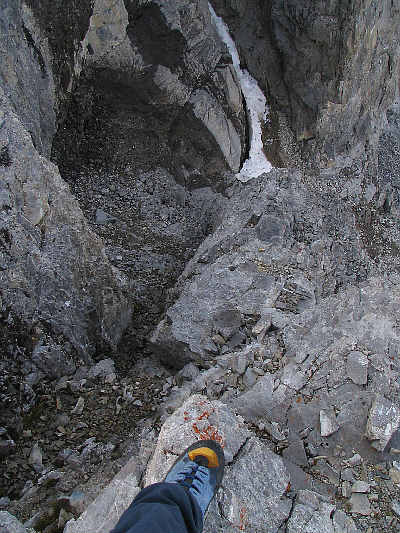 |
This is looking down the crack that
Sonny would descend to avoid down-climbing the crux chimney (top). |
 |
This is looking back up Sonny's
descent crack. |
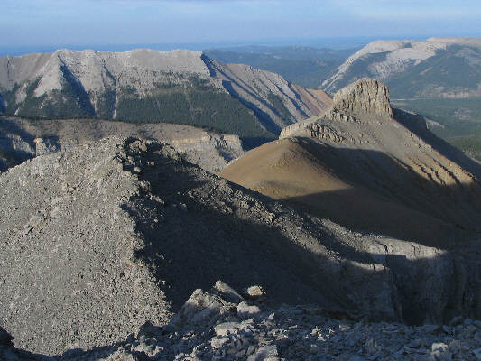 |
The late day sun casts some long
shadows on the east ridge of Mount Remus. Nihahi Ridge (left)
and Forgetmenot Ridge (right) are visible in the distance. |
 |
Here is a closer look at the prominent
nub at the end of the east ridge of Mount Remus. It has an
elevation of at least 2439 metres. |
 |
This is the big bowl which funnels
into the long and brown scree gully. |
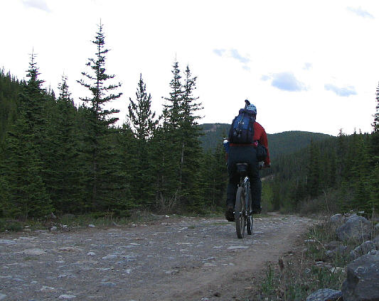 |
Sonny cycles back along Little Elbow
Trail. |
