 |
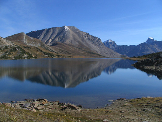
Fossil Mountain, Mount Douglas and
Mount St. Bride are reflected in Ptarmigan Lake. |
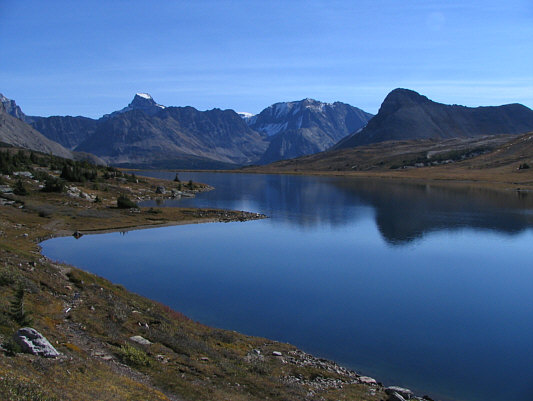 |
This is looking east across Ptarmigan
Lake toward Mount St. Bride (left) and Brachiopod Mountain (right). |
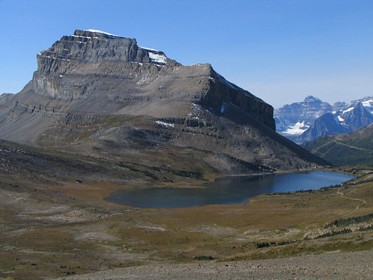 |
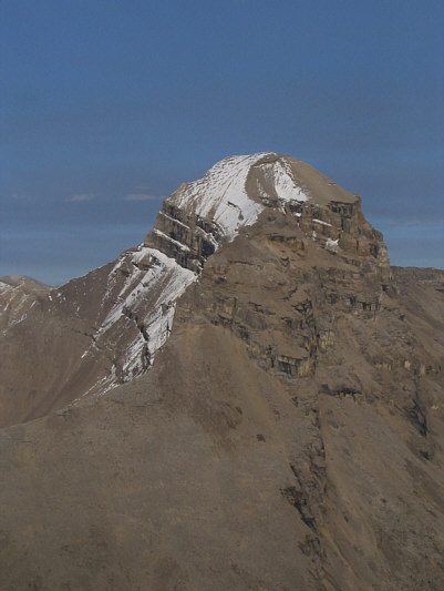
This is the classic view from
Deception Pass of Redoubt Mountain above Ptarmigan Lake. In the
distance at far right is Hungabee Mountain. |
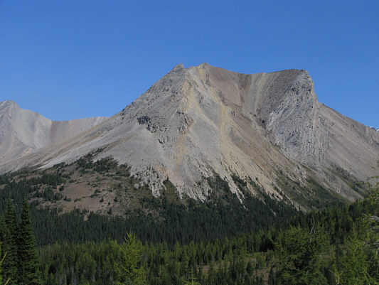 |
This is Skoki Mountain as seen from
the trail between Deception Pass and Skoki Lodge. |
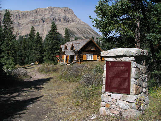 |
This is Skoki Lodge. |
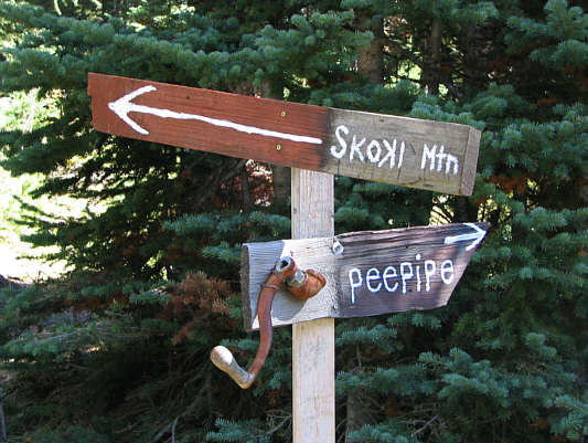 |
This is the sign near the outhouses
directing hikers to Skoki Mountain. |
 |
Molar Mountain looks striking from the
upper slopes of Skoki Mountain. |
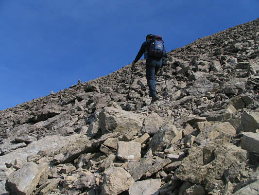 |
Sonny hikes up typical rubble on the
upper slopes of Skoki Mountain. |
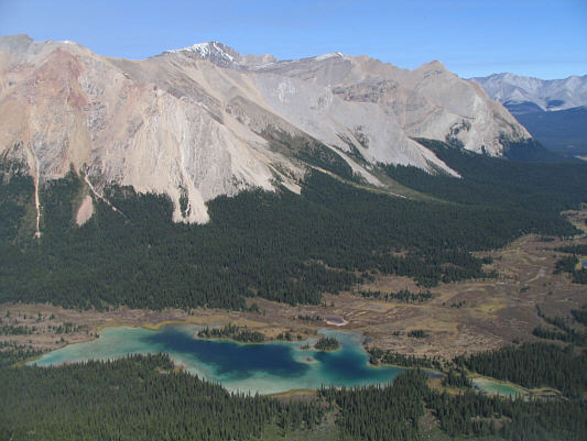 |
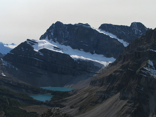
This is looking down on the largest of
the Red Deer Lakes from near the top of Skoki Mountain. |
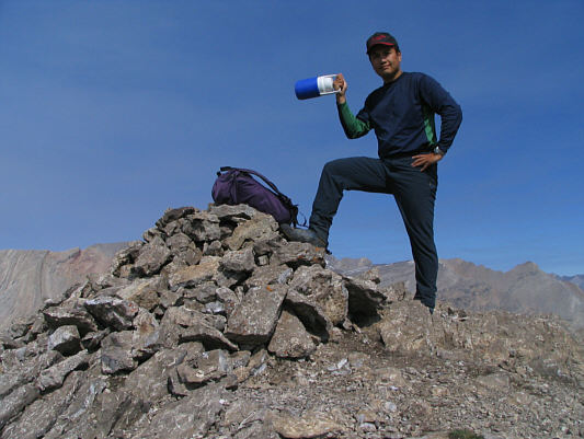 |
Sonny holds up the Thermos bottle
containing the register on the 2696-metre summit of Skoki Mountain. |
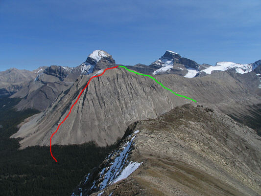 |
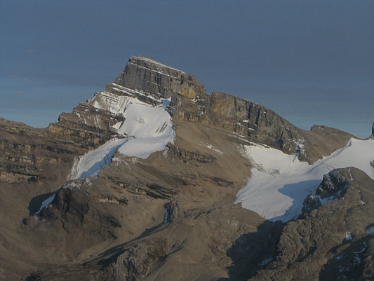
This is looking east toward Mount
Douglas and Mount St. Bride. Sonny's eventual ascent (red) and
descent (green) routes on Oyster Peak are shown. |
 |
The view to the southwest is dominated
by Ptarmigan Peak and Pika Peak (far right). Myosotis Lake
(front) and Zigadenus Lake are also visible. |
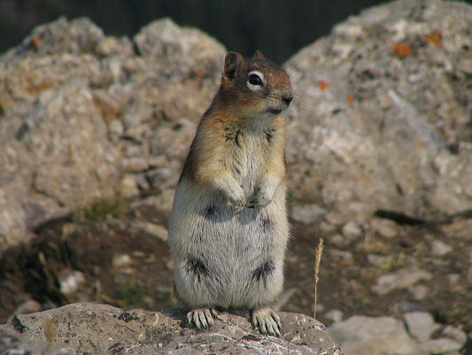 |
Sonny's summit chores attract a
curious golden-mantled ground squirrel. |
After hiking through Jones Pass, Kelly and I parted company
again. While she turned southeast to head for Cotton Grass Pass
(and return to Hidden Lake Campground via Baker Lake), I followed the
trail to Red Deer Lakes for about a kilometre before making a beeline for
the north end of Oyster Peak. The route I chose to ascend is steep
and exposed, and although the scrambling was exciting, there were moments
when I wondered if I might have gotten in a little over my head.
Near the top, I had to scramble up a very loose gully and finish with
some awkward moves around a small chock stone. I breathed a huge
sigh of relief after surmounting this obstacle. Some plodding and a
few short sections of exposed scrambling got me to the summit of Oyster
Peak by 6:57 PM. Although I had hoped to traverse over to the lower
south summit, daylight was disappearing rapidly, and I opted to descend
as quickly as possible to Cotton Grass Pass. Once I picked up the
trail in the valley, I settled into a very long and slightly surreal
march back to Hidden Lake Campground via Baker Lake. It was
probably around 10:30 PM by the time I stumbled into camp, and I simply
had a drink before crawling into the tent beside Kelly and falling
asleep.
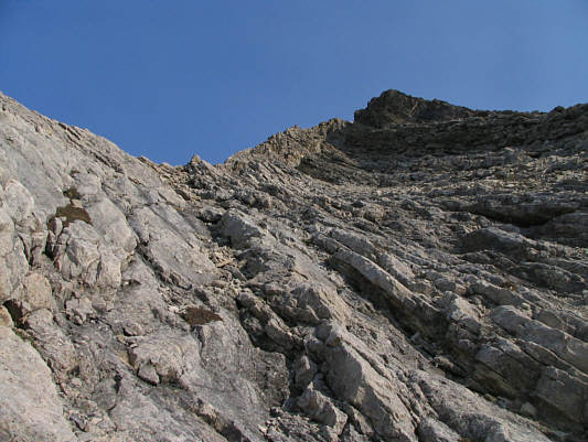 |
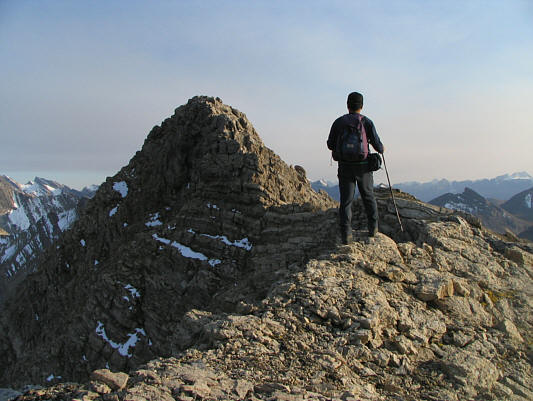
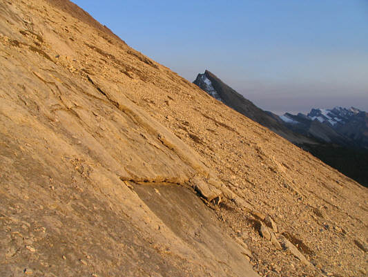
This is looking up the route that
Sonny would ascend on the north end of Oyster Peak. |
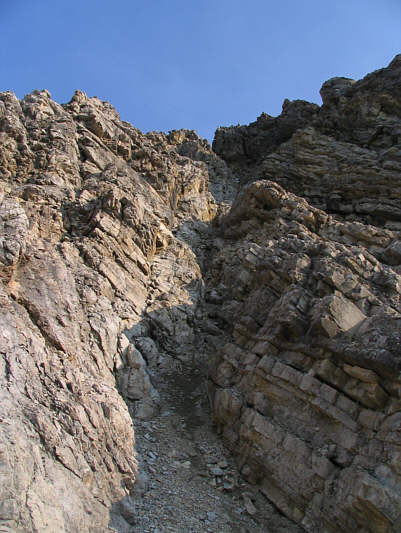 |
This steep and loose gully gives
access to the summit ridge. |
 |
Sonny approaches the summit of Oyster
Peak from the north. |
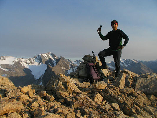 |
Sonny tags the 2777-metre summit of
Oyster Peak. |
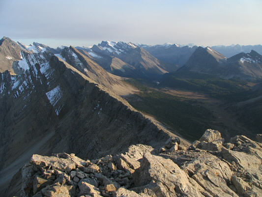 |
This is looking south along the
connecting ridge to Oyster Peak's lower south summit. Cotton
Grass Pass is at right. |
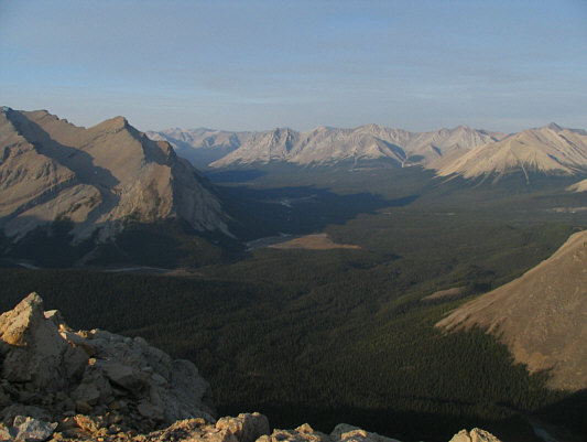 |
Northeast of Oyster Peak is the Red
Deer River valley. |
 |
Mount Douglas dominates the view to
the east. |
 |
Southeast of Oyster Peak is Mount St.
Bride. |
 |
The late day sun lights up the west
slopes of Oyster Peak. |
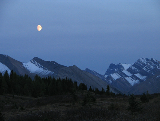 |
The moon rises in the evening sky in
this view south from Cotton Grass Pass. At far right is Mount
Avens. |