Photo courtesy of Edwina Podemski
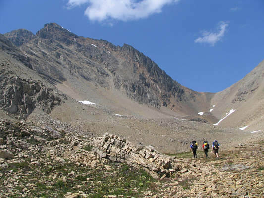
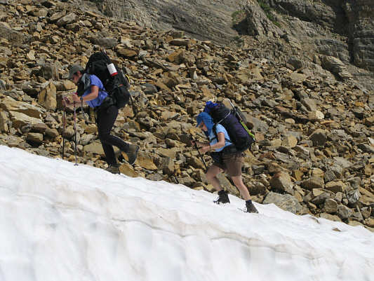
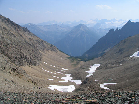
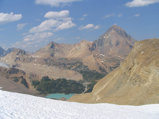

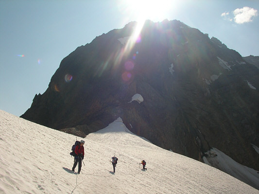
Photo courtesy of Edwina Podemski
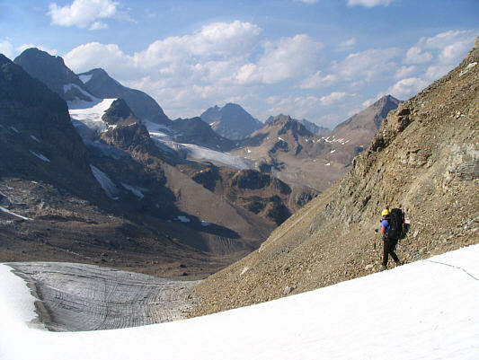
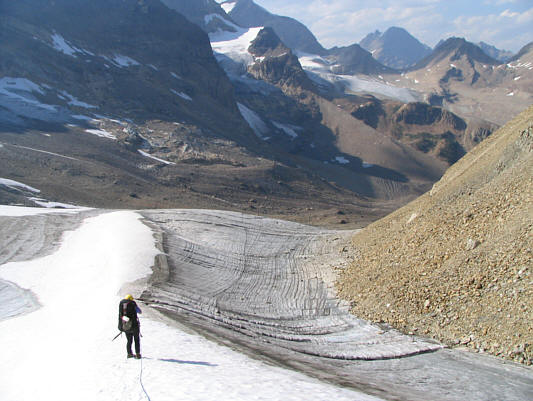
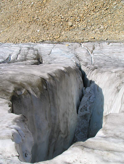
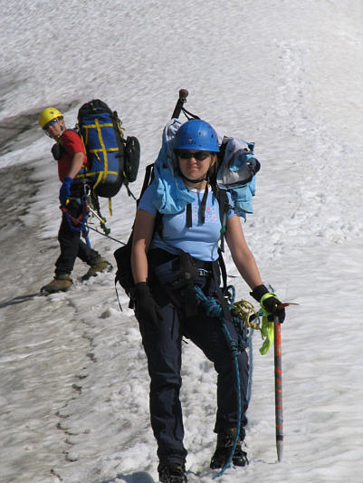
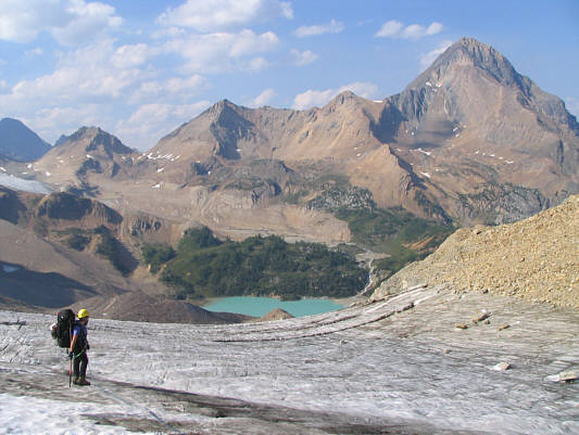
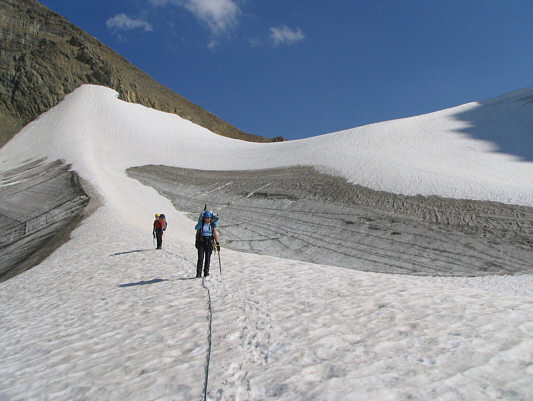
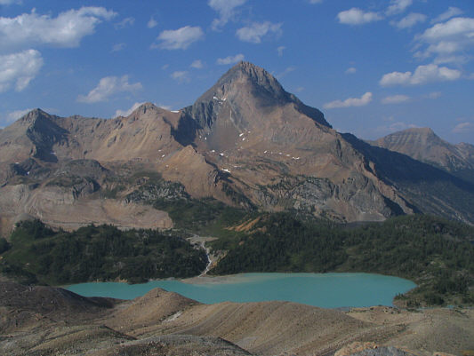
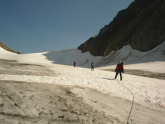
Photo courtesy of Edwina Podemski
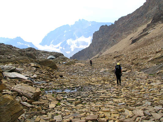
After a short but very
steep climb through some larch trees, we enjoyed a pleasant hike up the
open valley leading to Tiger Pass. Although there is no trail
beyond the last trees, the route is obvious, and the grade is generally
moderate until just before the pass. It took us about ninety
minutes to reach the crest of Tiger Pass. I was the first to arrive
and was somewhat surprised to find a very young Francophone
family--father, mother and a gaggle of kids--lounging at the pass.
More alarming than the fact that they were on vacation from Quebec was
that they had descended (and re-ascended) the glacier on the north side
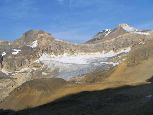
of Tiger Pass without any gear whatsoever. Although the glacier is
modest in size, there are crevasses readily visible from the pass.
Eddie, the Safety and Equipment Coordinator for the Edmonton ACC, was practically
beside herself as the family headed back toward the trailhead.
Knowing that a two-year old baby had just climbed the glacier unroped, we
almost felt silly hauling a rope, crampons, ice axes and other climbing
paraphernalia all the way up to the pass. Nevertheless, we roped up
(a first for both Kelly and me)
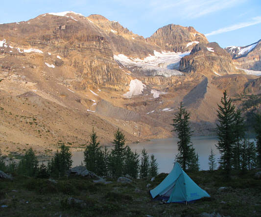
and descended the glacier easily and safely. We set up camp on high
ground between the two largest of the Dunbar Lakes. Overall, it had
taken us about 4.5 hours to hike in from the trailhead.
|
|
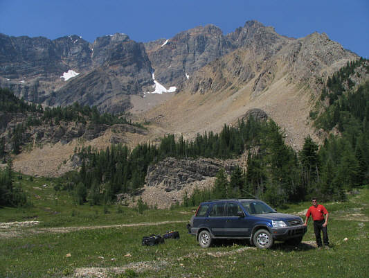
Chris stands beside Sonny's Honda CR-V at the trailhead. |
|
|
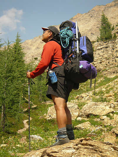
Sonny feels the weight of the world on
his shoulders. Photo courtesy of Edwina Podemski |
|
|
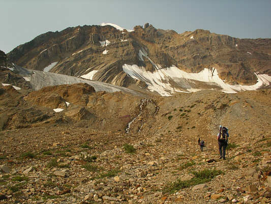
Tiger Pass comes into view. |
|
|
Eddie and Kelly climb up a snow patch. |
|
|
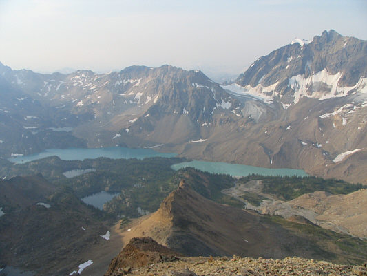
This is the view south from Tiger Pass. The Catamount Glacier can be seen at distant right. |
|
|
The view north of Tiger Pass includes the stunning eye-catcher, Mount Ethelbert. |
|
|
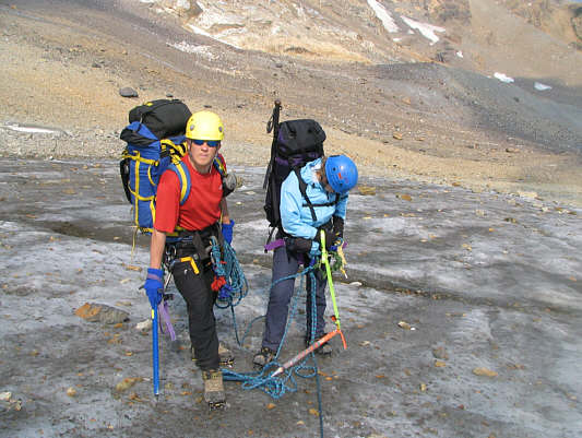
Chris watches as Eddie ties Kelly into the rope. |
|
|
Sonny, Kelly and Chris begin
descending the glacier. Photo courtesy of Edwina Podemski |
|
|
Eddie leads the way down the glacier. |
|
|
Eddie stops to take some photographs. |
|
|
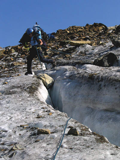
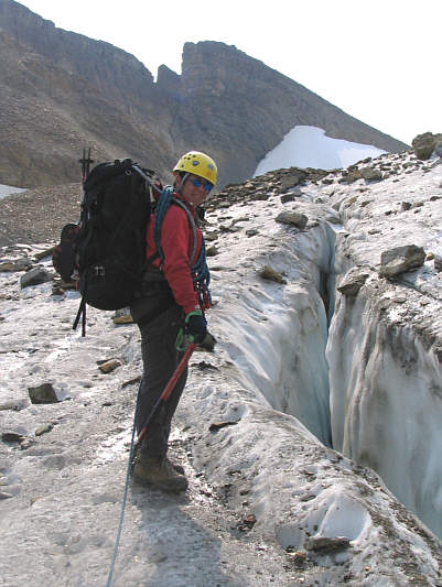
Here is one of the more obvious crevasses. |
|
|
Chris and Kelly wait patiently during one of the many photo stops. |
|
|
Here is another look at Mount Ethelbert from the glacier. |
|
|
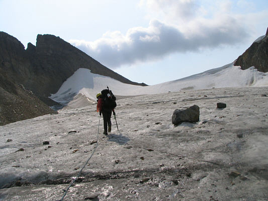
This is looking back up the glacier to Tiger Pass. |
|
|
One of the larger lakes is more completely revealed here. |
|
|
Chris, Kelly and Sonny continue
merrily down the glacier. Photo courtesy of Edwina Podemski |
|
|
Kelly hops across a crevasse. |
|
|
Kelly works her way down the moraine. |
|
|
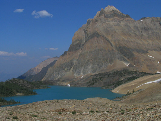
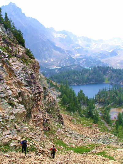
Horeb Mountain towers over the largest lake in the area. |
|
|
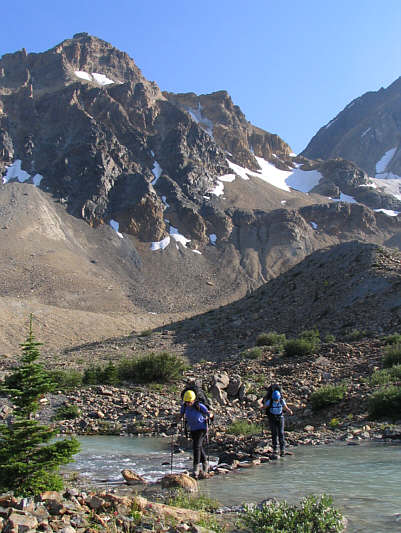
Eddie and Kelly cross a connecting creek between the two largest of the Upper Dunbar Lakes. |
|
|
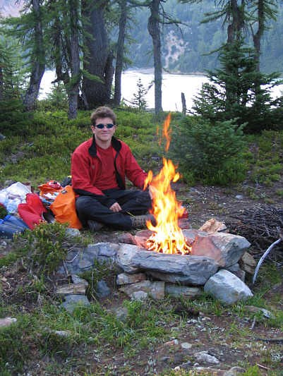
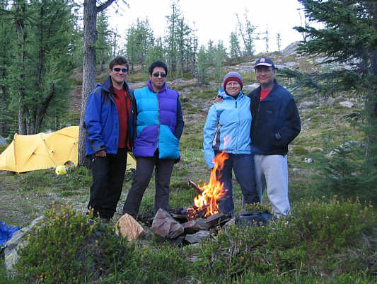
Chris enjoys a nice fire in camp. |
A little later, I wandered off on my own and found an
idyllic pond surrounded by larch trees. The water, though chilly,
was actually quite bearable, and I felt rather euphoric bathing buck
naked in my own personal Shangri-La! Refreshed, I spent the rest of
the afternoon curled up with a book on a warm rock before enjoying a
relaxing dinner with everyone else in the evening.
 |
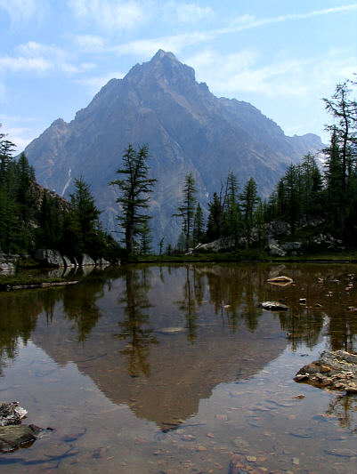
This is the great view of the Septet Range from the campsite. |
 |
Chris heads up easy rubble toward the notch just right of centre. |
 |
The morning sun lights up the Septet Range. |
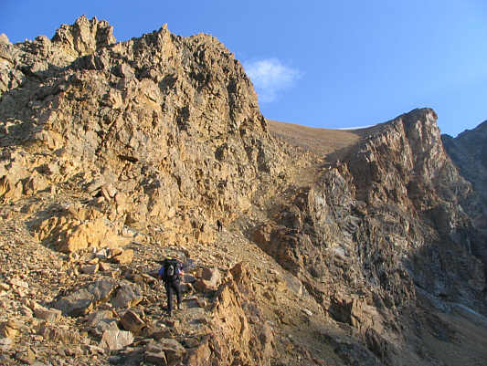 |
Eddie and Chris ascend the narrow ramp. |
 |
Sonny scrambles up the ramp. Photo courtesy of Edwina Podemski |
 |
The ramp widens out to a broad scree slope at this point. |
 |
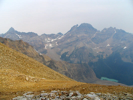
Smoke begins to pervade the air over Upper Dunbar Lakes. Tiger Pass is visible above the glacier at right. |
 |
This is looking down the north side of the col to Templeton Lake. |
 |
Sonny starts up the final slopes of Mount Ethelbert. |
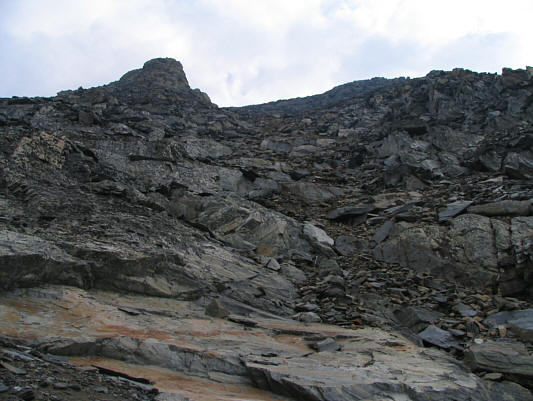 |
Slabs and rubble typify the upper part of Mount Ethelbert. |
 |
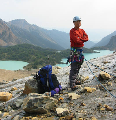
Sonny reaches the 3175-metre summit of Mount Ethelbert. |
 |
Here is a nub to the southeast of the summit. Climax Lake is barely visible down in the valley. |
 |
This is looking back at Mount Ethelbert's summit from another nub to the northeast. |
 |
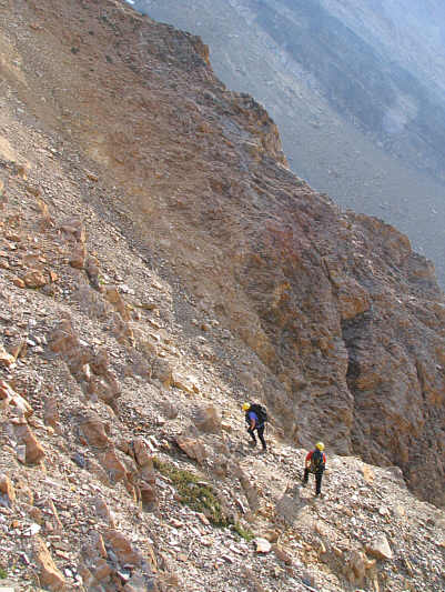
Eddie and Chris prepare to descend the Cameron/Gunn route. |
 |
This is looking up some slabs alongside the rubble slope. |
 |
Eddie and Chris stumble their way down the horrible rubble slope. |
 |
This is looking up the Cameron/Gunn route from an alpine tarn. |
 |
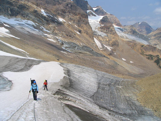
Chris and Eddie hike down a broad drainage. Tiger Pass is visible in the hazy distance at left. |
 |
Eddie and Chris descend the final rubble slope before the trees. |
 |
Horeb Mountain is reflected in one of the many shallow pools scattered all over the area. |
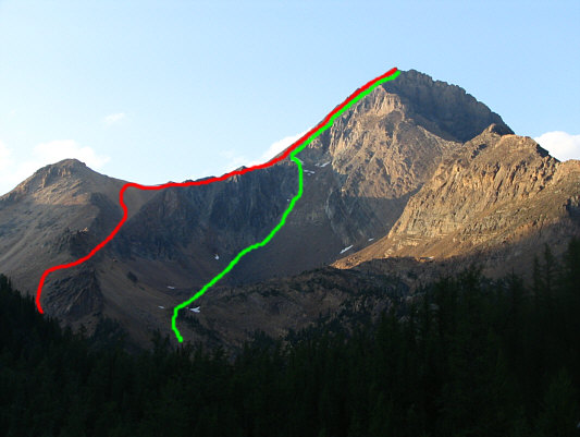 |
The skies clear up over Mount Ethelbert later in the day. Sonny's ascent (Podemski/Wood--red) and descent (Cameron/Gunn--green) routes are shown. |
 |
Chris, Eddie, Kelly and Sonny enjoy another evening in Shangri-La. |
 |
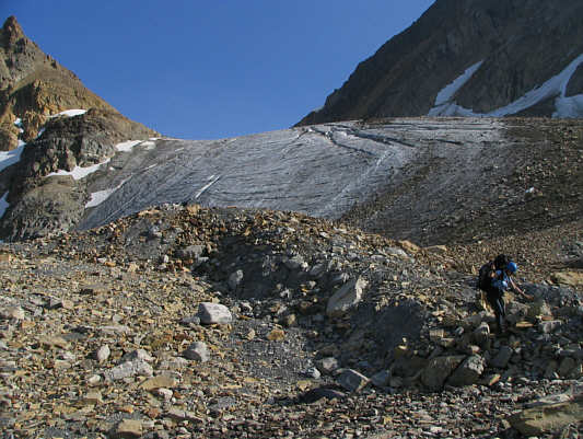
Chris, Sonny and Kelly climb up the
moraine toward the glacier. Photo courtesy of Edwina Podemski |
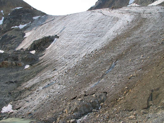 |
Here is a closer look at the toe of the glacier. |
 |
Sonny waits patiently on the glacier. Photo courtesy of Kelly Wood |
 |
Eddie leads the way again. |
 |
Chris waits while Kelly makes a few adjustments to her gear. |
 |
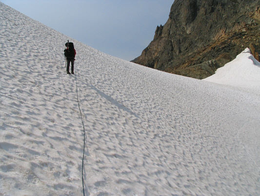
Eddie climbs up the glacier toward Tiger Pass. |
 |
Kelly and Chris retrace their steps from a couple of days ago. |
 |
Eddie approaches the crest of Tiger Pass. |
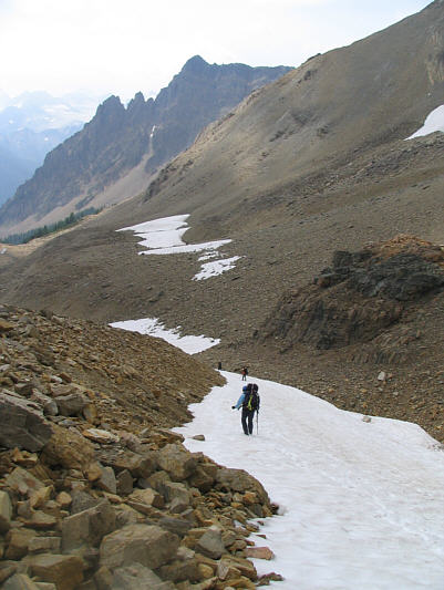 |
Snow patches make the descent from Tiger Pass much easier. Lead Queen Mountain is visible in the distance. |
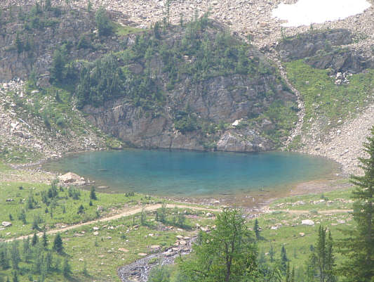 |
This colourful tarn is near the trailhead but is not visible from the parking area. |
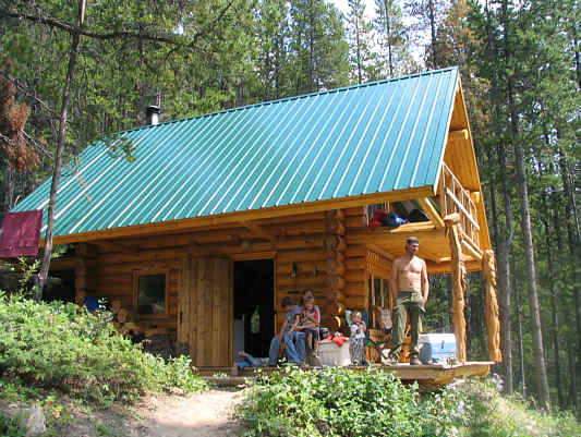 |
This cabin belongs to a friend of the Francophone family. |
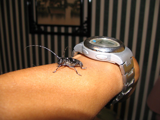 |
Sonny finds a hitchhiker among his gear at the motel in Radium Hot Springs. This is likely an Oregon Fir Sawyer (Monochamus oregonensis). |