


Leaving the summit at 5:13 PM, we managed to get through the crux gully safely, and we then took advantage of the snow on the south slopes to glissade all the way down to the basin. We took another break here before continuing down the access drainage and regaining the Ribbon Creek Trail. We stopped and chatted for awhile with a fellow staying at the backcountry campground near Ribbon Falls. He was a local who had climbed many of the peaks in Kananaskis Country including Mount Bogart (in a white-out), and he seemed eager to regale us with tales of his achievements. He even tried to convince Dave and me to stay for some beer and shrimp, but we politely declined and continued on our way. The long hike back to our bikes was a bit mind-numbing, but the twelve-minute ride back to the trail head was a blast (we reached my car at 9:28 PM).
Be sure to check out Dave's trip report here.
|
|
Dave is ready to go. |
|
|
Ribbon Falls looks magnificent in the morning sun. |
|
|
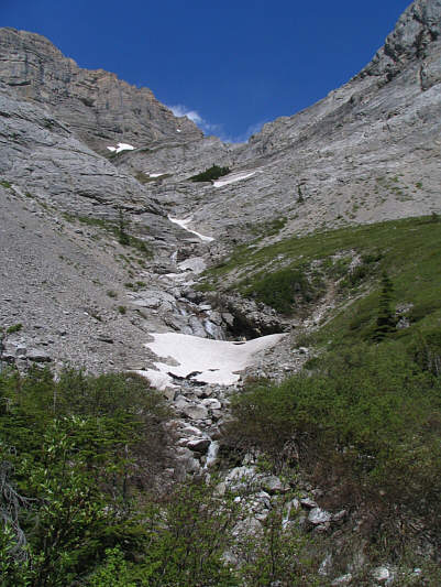
This is looking up the access drainage from the trail. |
|
|
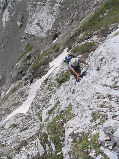
Dave tackles some steep slabs. |
|
|
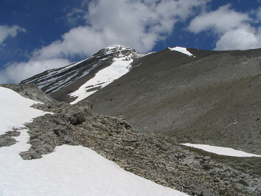
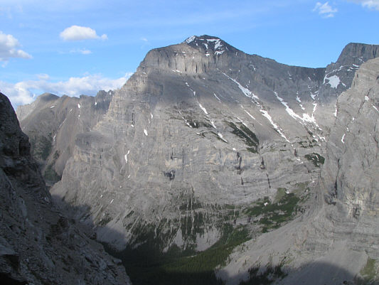
Mount Bogart finally comes into view. |
|
|
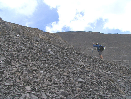
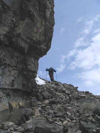
This is some of the worst scree in the Canadian Rockies. |
|
|
Dave traverses beneath the upper rock band. |
|
|
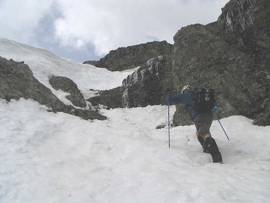
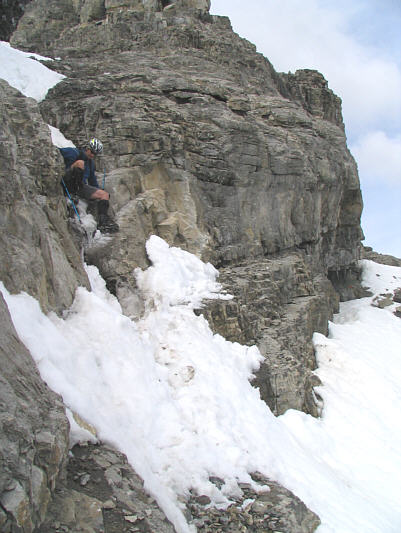
The crux gully is filled with snow and ice. |
|
|
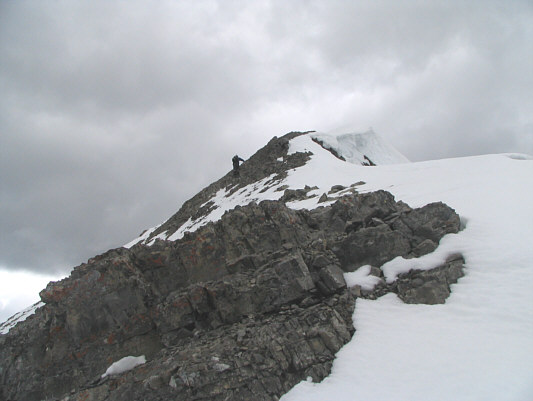
Past all difficulties, Dave is minutes away from the summit. |
|
|
Dave and Sonny stand on the 3144-metre summit of Mount Bogart. |
|
|
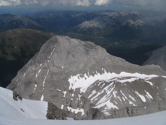
Ribbon Peak lies to the east. |
|
|
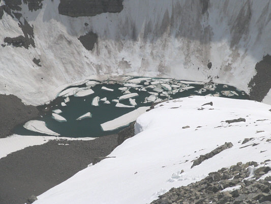
This is the pond just southwest of Mount Bogart. |
|
|
A sea of peaks stretch out to the south. |
|
|
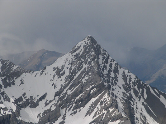
To the northwest is Mount Sparrowhawk. |
|
|
This is looking north to the beautiful fourth (southeast) peak of Mount Lougheed. |
|
|
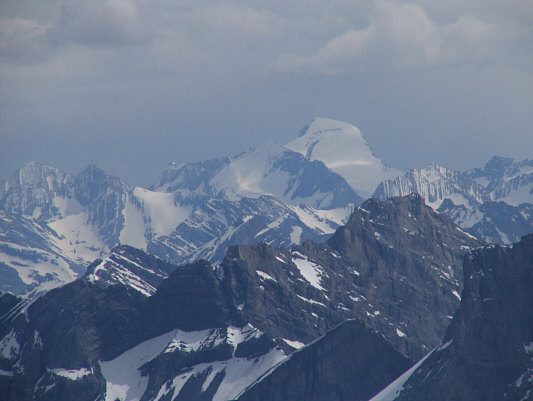
Mount Joffre stands high above all the surrounding peaks on the horizon. |
|
|
Dave does the "bum shuffle" down the crux. |
|
|
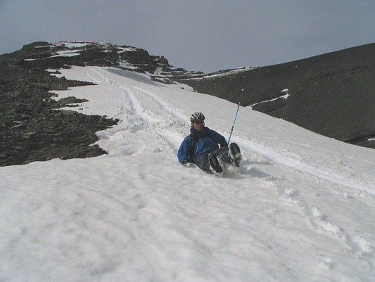
The snow is a bit soft but still suitable for glissading. |
|
|
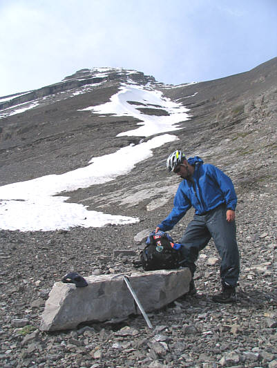
Dave takes a break to dry out his gear and grab a bite to eat. |
|
|
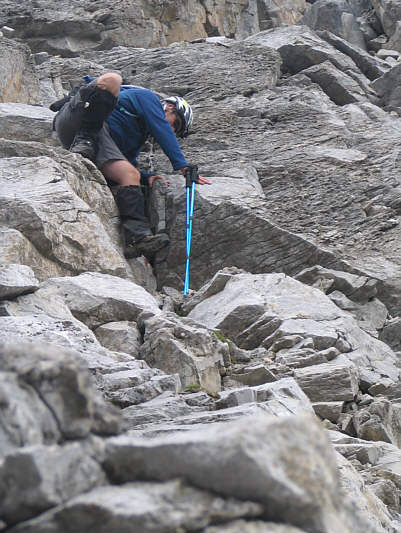
A few spots in the upper drainage are tricky to down-climb. |
|
|
This is the west face of Mount Kidd as seen from the drainage. |
|
|
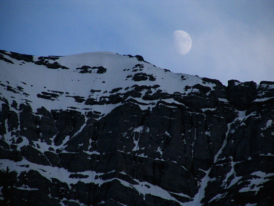
The moon rises above a nearby ridge. |
|
|
The bike ride back to the parking lot is the real highlight of the day. |
|
|
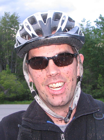
Dave looks a bit muddy back at the parking lot. |