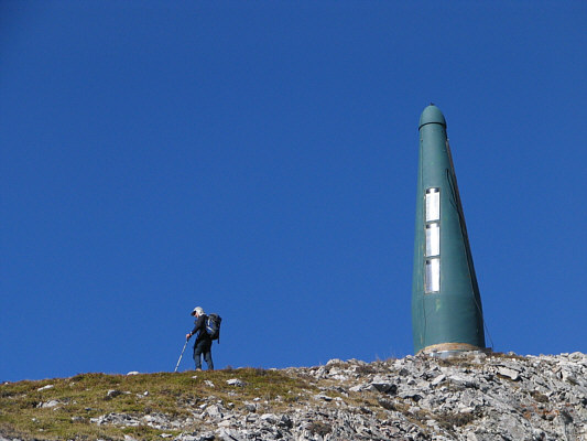

Despite the lack of a trail for much of the ascent, travel is generally easy, and we encountered no difficulties as we hiked over a high point south of Mount Erickson. We then dropped down to a col before scrambling up a short easy section of rock and hiking up to a false summit sporting a large green phallic tower. This was where Dinah and Bob turned around on their first attempt because of snow. With dry conditions, we had no problems reaching the twin bumps of the true summit. On our return trip, having to regain elevation to get over the high point to the south was annoying, but the worse part was descending the last couple of hundred metres to the highway. Ankle-breaking rubble, our fatigue, and the hot sun made this last section particularly miserable (round-trip time of less than 9 hours), and we actually made three separate food stops in Coleman, Alberta to help us recover from the ordeal!
Be sure to check out Bob's trip report here.
|
|
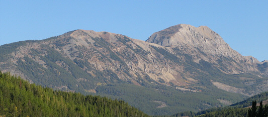
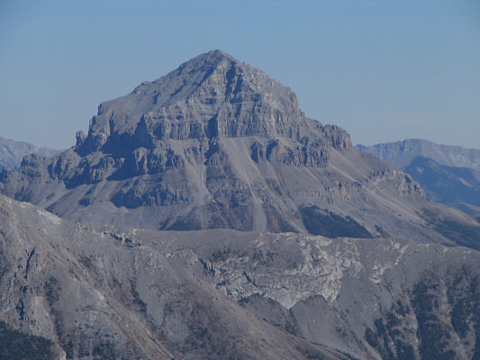
This is Mount Erickson as seen from Highway 3 near the provincial border between British Columbia and Alberta. |
|
|
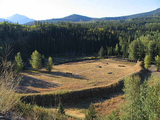
On the north side of Highway 3 near Alexander Creek is this shooting range. |
|
|
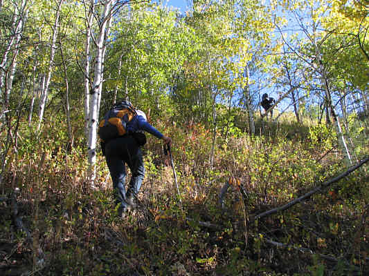
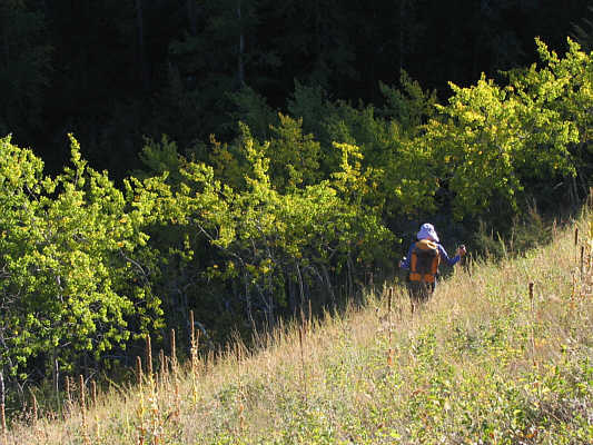
Dinah and Bob thrash their way up a steep slope not far from the highway. |
|
|
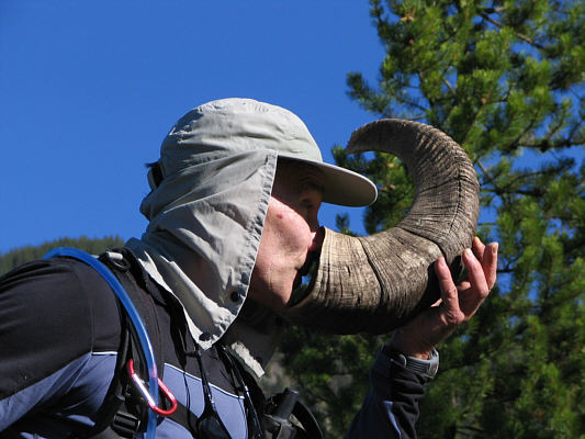
Bob curiously sniffs the inside of this old sheep horn. |
|
|
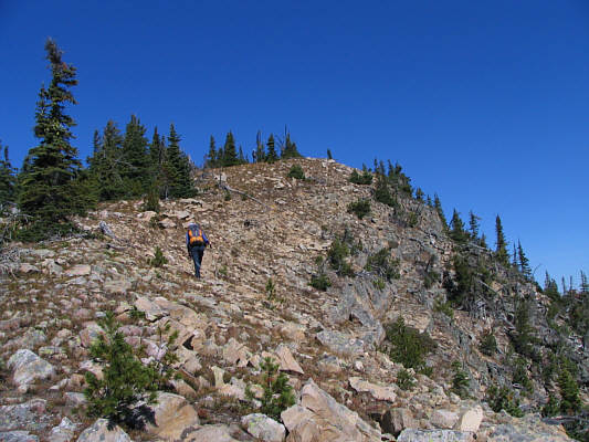
Dinah hikes up easy terrain near the high point south of Mount Erickson. |
|
|
Seven Sisters Mountain (2591 metres) is visible to the east. |
|
|
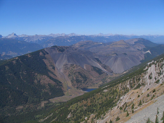
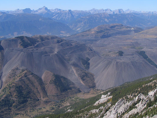
Northwest of the high point is a vast open pit mine centered over what is left of Natal Ridge. |
|
|
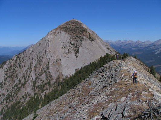
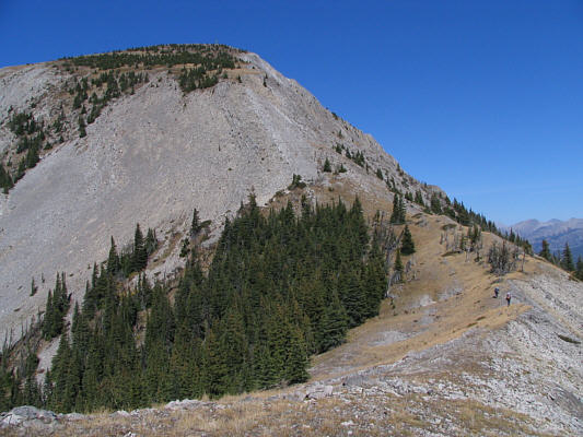
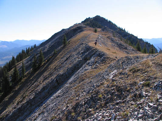
Dinah continues north along the ridge toward the main summit block of Mount Erickson. |
|
|
Bob and Dinah approach the main summit block. |
|
|
Dinah is still smiling as she hikes up the main summit block. Crowsnest Mountain (2785 metres) is visible behind her through Deadman Pass. |
|
|
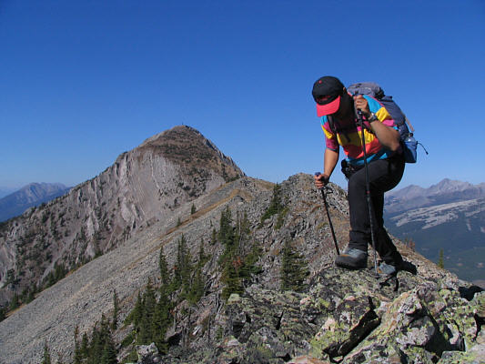
Bob finds a nice ridge to scramble up. |
|
|
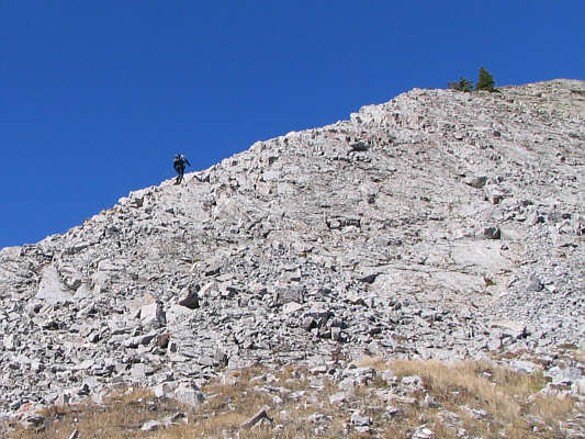
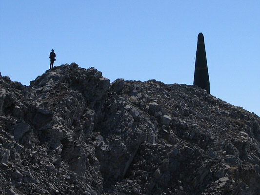
Bob reaches the top of the false summit. |
|
|
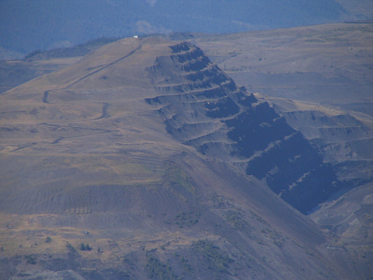
This feature of the open pit mine resembles a ziggurat. |
|
|
Here is another look at the open pit mine from Mount Erickson's false summit. |
|
|
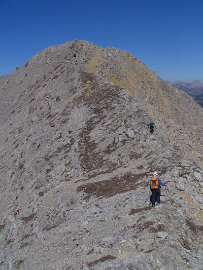
Dinah and Bob head for the true summit. |
|
|
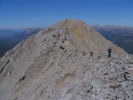
The summit ridge is an easy hike. |
|
|
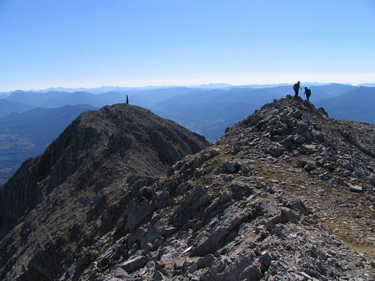
This is looking back at the false summit from near the true summit. |
|
|
Sonny, Bob and Dinah pose near the 2485-metre summit of Mount Erickson. |
|
|
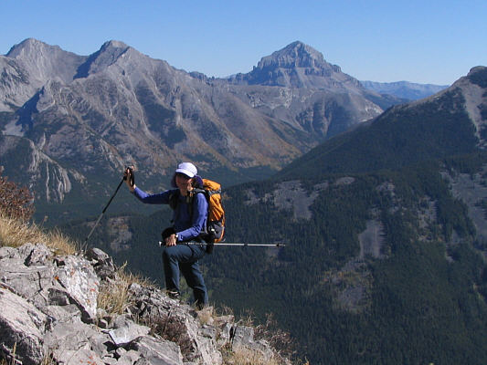
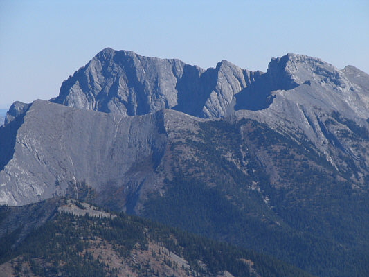
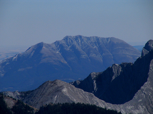
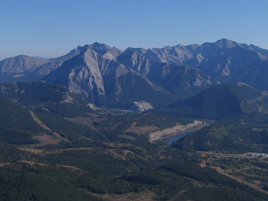
Here is a closer look at Crowsnest Mountain from the summit of Mount Erickson. |
|
|
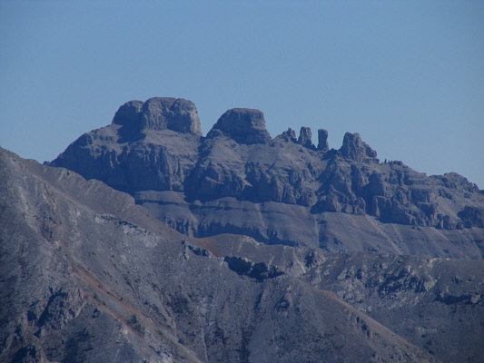
To the southeast are Mount Tecumseh (2549 metres) and Phillipps Peak (2500 metres). |
|
|
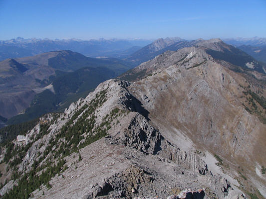
Erickson Ridge stretches away to the north in this view from a knob just below Mount Erickson's summit. |
|
|
Dinah and Bob begin heading back to the false summit. |
|
|
Turtle Mountain (2210 metres) is visible to the southeast. |
|
|
Bob is almost back at the false summit. |
|
|
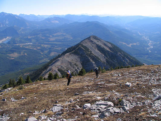
Dinah and Bob descend open slopes below the false summit. The high point south of Mount Erickson is at centre. |
|
|
Dinah and Bob head back up to the high point on the return trip. |
|
|
Sonny looks tired as he traverses over the high point south of Mount Erickson. |
|
|
This view to the southeast from the high point includes Sentry Mountain (2435 metres) at left and Summit Lake. |
|
|
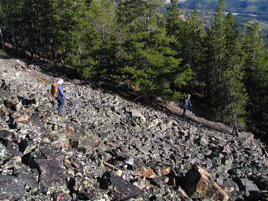
Dinah and Bob descend one of the many rubble slopes at the south end of the ridge. |
|
|
Dinah drops down a very steep grassy slope near the highway. |