
Be sure to check out
Wietse's photos of this trip.
|
|
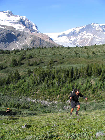
Kelly hikes up the grassy slopes near Wilcox Pass. Sam is not far behind. |
|
|
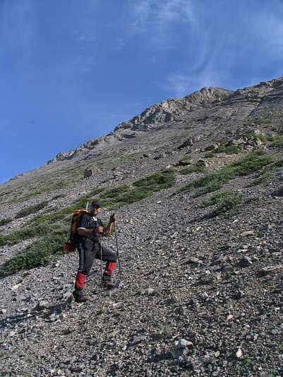
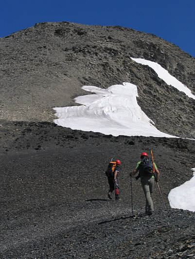
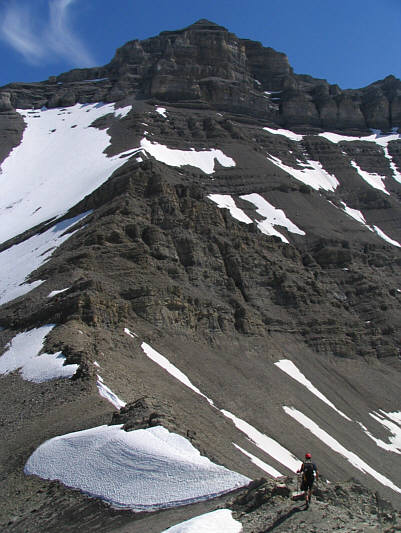
Sam ascends the lower scree slope. |
|
|
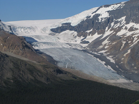
The morning sun shines on the Athabaska Glacier. |
|
|
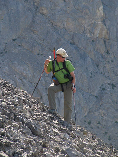
Wietse takes a break on the way up. |
|
|
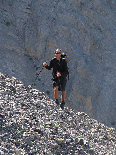
Kelly listens to his iPod as he climbs up the scree slope. |
|
|
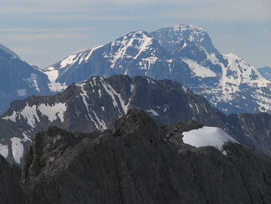
Twins Tower (3627 metres) appears through a gap. |
|
|
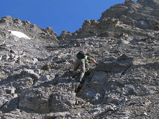
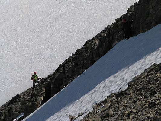
Wietse tackles some slabs higher up. |
|
|
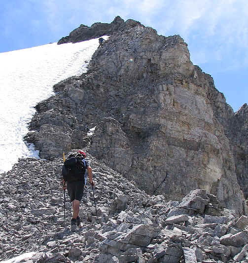
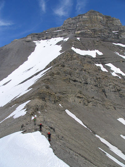
Sam scrambles up some steep cliff bands. |
|
|
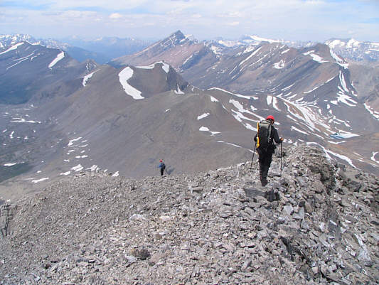
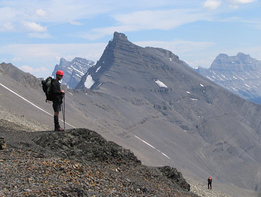
Sam and Wietse hike toward the high point of the ridge. |
|
|
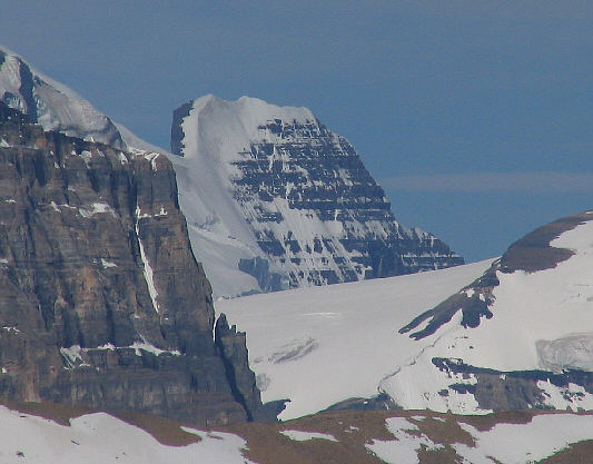
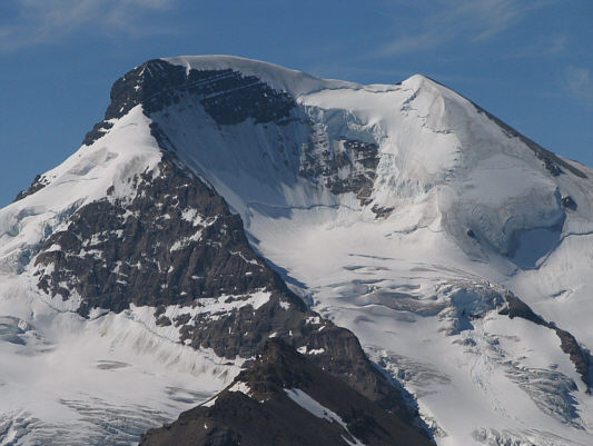
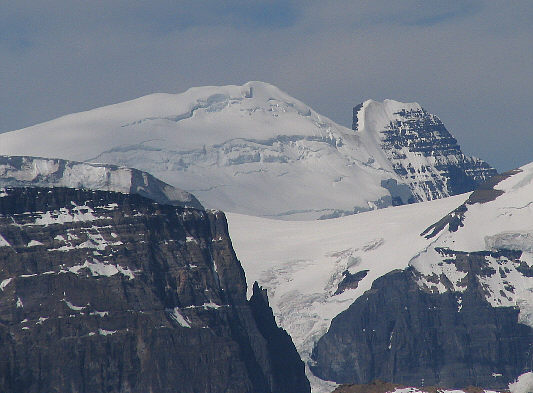
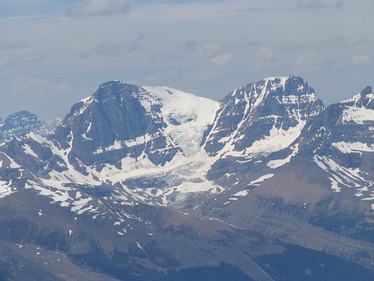
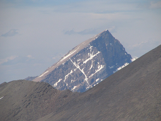
This is a close-up of Mount Athabaska (3491 metres). |
|
|
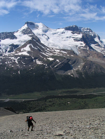
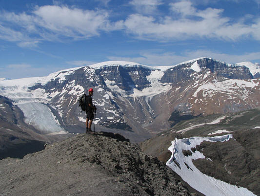
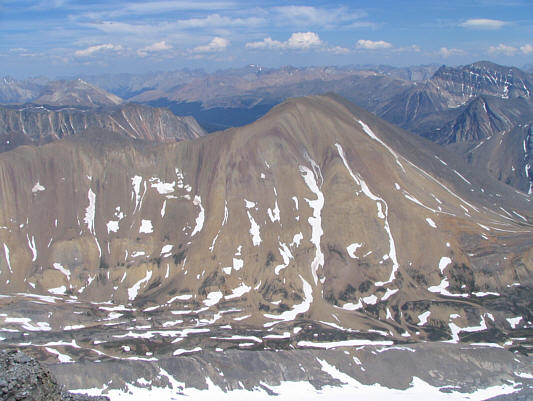
Kelly trudges up more scree with Mounts Athabaska and Andromeda (3450 metres) dominating the view to the southwest. |
|
|
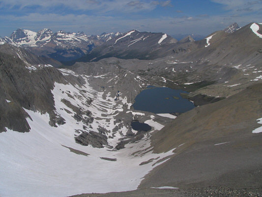
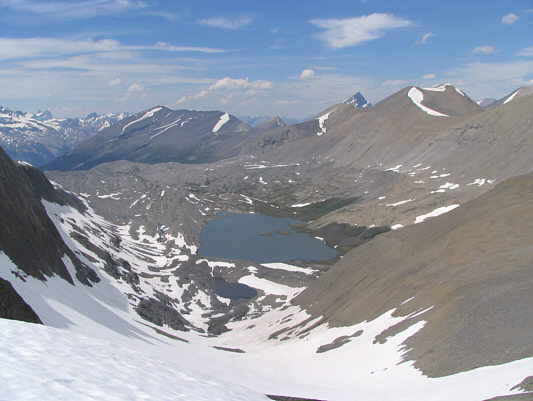
This is looking northwest to Wilcox Lake from the high point of the ridge. |
|
|
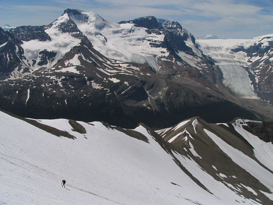
Kelly pauses on the high point of the ridge to admire the views of Athabaska Glacier, Snow Dome (3456 metres), Dome Glacier, and Mount Kitchener (3505 metres). |
|
|
Kelly hikes along the connecting ridge to Nigel Peak. |
|
|
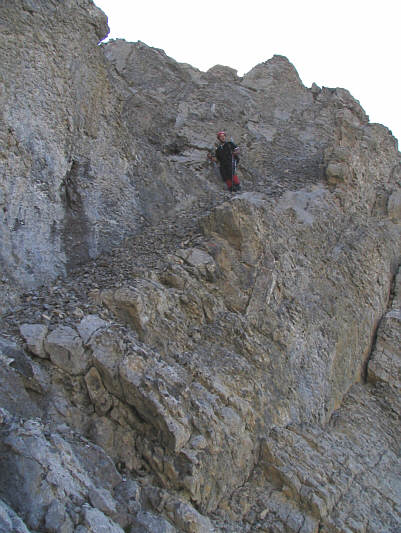
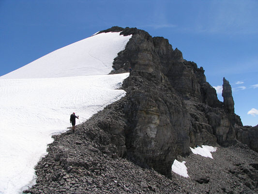
Wietse detours around a cliff band along the connecting ridge. |
|
|
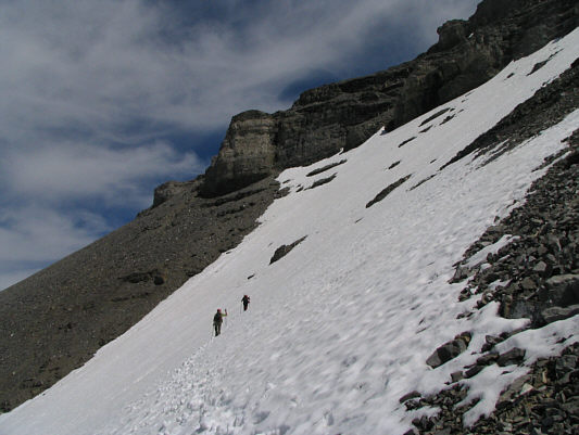
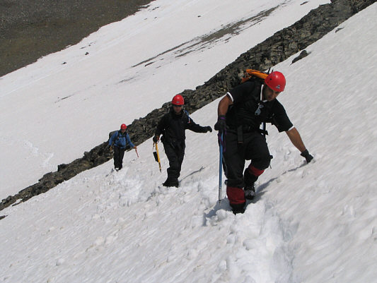
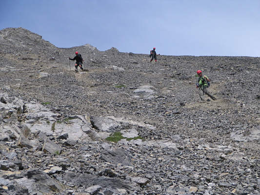
Wietse and Sam work their way up the slope. |
|
|
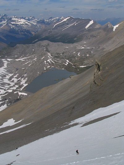
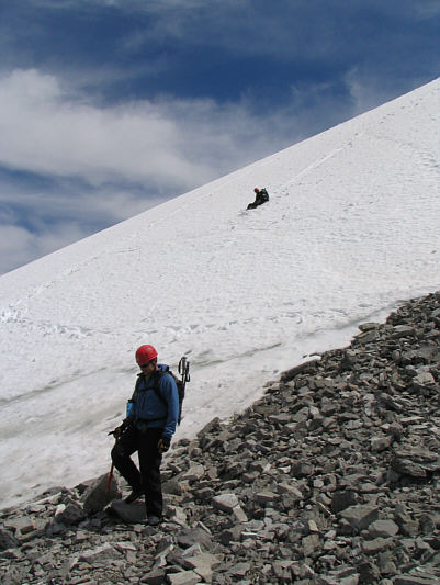
Kelly climbs directly up the snow slope. Wilcox Lake and Tangle Ridge can be seen in the distance. |
|
|
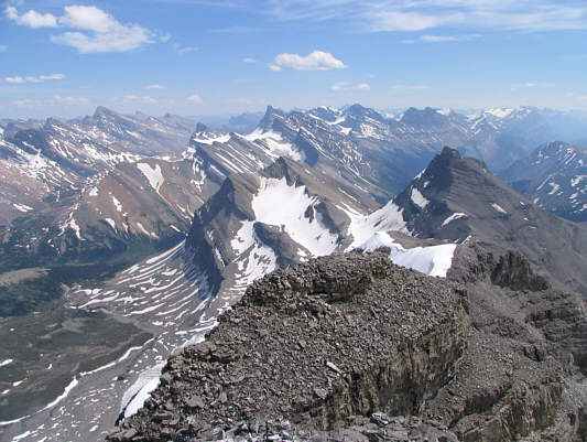
North Twin (3684 metres) and Twins Tower look impressive to the west. |
|
|
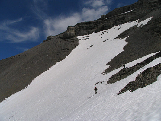
Wietse and Sam traverse across the snow slope. |
|
|
Kelly is still working his way up the snow slope. |
|
|
Kelly is still all smiles. |
|
|
Sam leads the way up the final ridge to the summit. |
|
|
The ridge to the north has some rather interesting colour striations. |
|
|
Kelly starts up the final ridge. |
|
|
Kelly approaches the steepest section of the final ridge. Wietse is near the top of this section. |
|
|
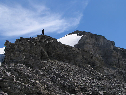
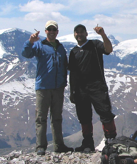
Kelly, Sonny, Sam, and Wietse gather around the cairn on the 3211-metre summit of Nigel Peak. |
|
|
Wietse and Sam celebrate their summit success by smoking some cigarillos. |
|
|
This is looking west to Mount Wooley (3405 metres) and Diadem Peak (3371 metres). |
|
|
This is an unnamed ridge to the northeast of Nigel Peak. Interestingly, Nigel Pass is just to the right of the ridge. |
|
|
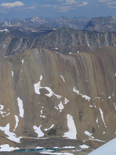
A wealth of peaks stretches to the southeast horizon in this view from the summit. |
|
|
Wietse and Kelly begin their descent from the summit. The pointy peak in the distance at centre is Sunwapta Peak. |
|
|
Wietse hikes down some rubble while Kelly slides down the adjoining snow slope. |
|
|
The group retraces their steps partway across the snow slope on the south side of Nigel Peak. |
|
|
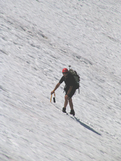
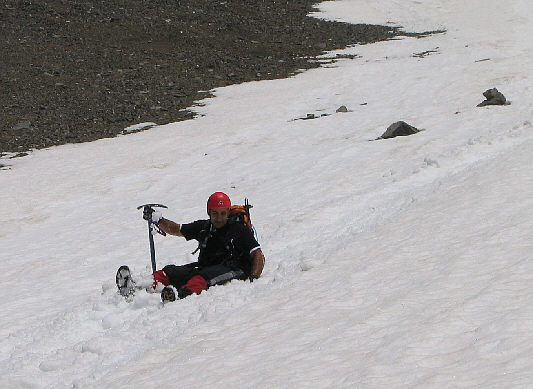
Sam glissades the snow slope. |
|
|
After the glissade, the group traverses across some more snow to regain the connecting ridge. |
|
|
The group works their way down the connecting ridge. |
|
|
Here is a close-up of Sunwapta Peak. |
|
|
This view to the west includes, from front to back, unnamed, Mount Wilcox, Mount Cromwell (3330 metres) and Mount Engelhard (3270 metres), and Mount Alberta (3619 metres). |
|
|
Here is one last look at Wilcox Lake and the surrounding ridges including Tangle Ridge at left. |
|
|
Kelly pauses before the descent of the long scree slope. The striking peak behind him is unnamed. |
|
|
The group scree surfs down the slope. |
|
|
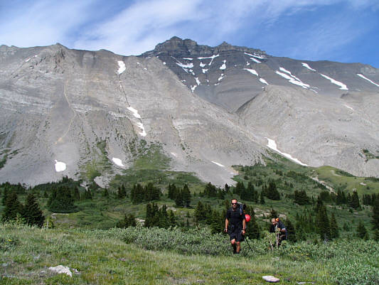
Kelly and Sam hike across subalpine meadows on their way back to the trail head. Nigel Peak dominates the background. |