

After what seemed like an eternity, I
finally scrambled up to the ridge crest just north of the first gendarme.
Despite some exposure, I surmounted this obstacle without too much
trouble, but what I saw from the top was not encouraging. A series
of pinnacles separated me from the south summit, and scrambling over each
pinnacle would require some serious route-finding as well as significant
gains and losses in elevation. If it had been earlier in the day, I
would have gladly tackled each pinnacle directly, but I was quickly
running out of daylight and decided to bypass all the pinnacles by
traversing below the ridge crest on the west side. This in itself
was no cakewalk either, but at least I could keep moving more steadily to
stay one step ahead of the annoying mosquitoes. The sun was
disappearing behind Mount Temple as I stepped up to the cairn on the
south summit. Fourteen minutes later, I was on my way down the west
slopes descending a mix of crappy scree and the odd snow patch.
Reaching Upper Consolation Lake, I had to bushwhack a bit along the east
shore (not fun in the dark!) before finding a fairly good beaten path
leading to the boulder field separating the two lakes. Rock-hopping
back around the west side of Lower Consolation Lake was trickier in the
dark, but I eventually regained the access trail and made it back to the
eerily quiet Moraine Lake parking lot (round-trip time of 7 hours).
|
|
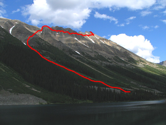
Sonny's approximate ascent route is shown in this view from Lower Consolation Lake. |
|
|
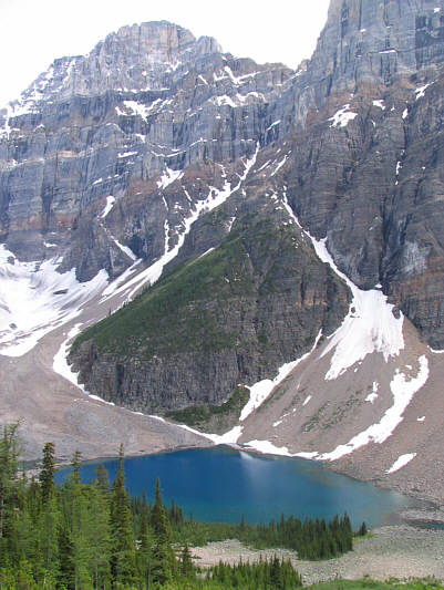
This is looking down on Upper Consolation Lake from the lower slopes of Panorama Ridge. Mount Fay is at upper left. |
|
|
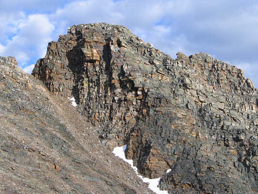
This is the first serious obstacle on the approach from the north end of Panorama Ridge. |
|
|
Sonny works his way up to the base of the first gendarme. |
|
|
From the top of the first gendarme, this is the view of the remaining pinnacles along the ridge. The south summit is the high point at left. |
|
|
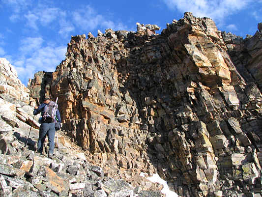
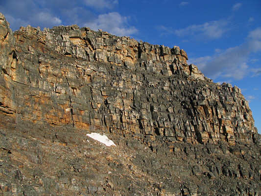
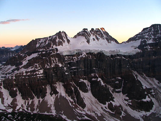
This wall typifies much of the terrain on the south end of Panorama Ridge. |
|
|
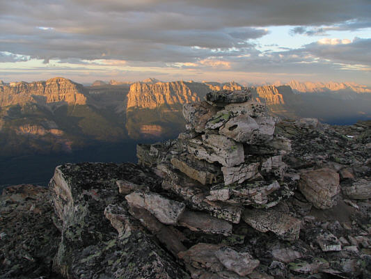
This is the cairn on the south summit of Panorama Ridge. Television Peak and Castle Mountain are visible in the distance. |
|
|
Sonny rests against the cairn on the 2824-metre south summit of Panorama Ridge. The top of Mount Temple is just visible behind Sonny while the north summit of Panorama Ridge is at far right. On the horizon behind the north summit is Mount Hector. |
|
|
Protection Mountain and Television Peak lie to the northeast. |
|
|
To the east is Castle Mountain. |
|
|
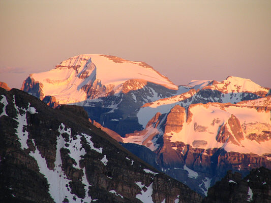
The tops of Pilot Mountain and Mount Brett are illuminated by the last rays of sunshine for the day. |
|
|
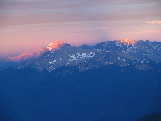
Stanley Peak looks radiant at sunset. |
|
|
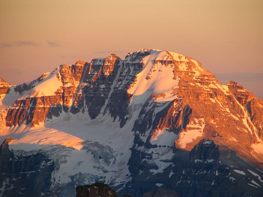
Mount Ball also looks radiant at sunset. |
|
|
Bident Mountain and Mount Quadra dominate the view to the southwest. |
|
|
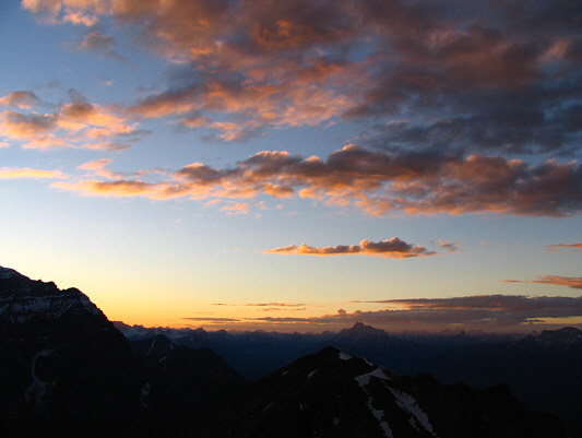
The sun has set on another beautiful day in the Canadian Rockies. |