BOU AVENUE
Table Mountain
I took the day off from work on 28 September 2007 with intentions of scrambling up a peak or two in Waterton National Park.  Unfortunately, I slept in that morning and did not feel overly motivated to drive for three hours let alone ascend a peak.  As it turned out, I ended up doing just that!  After getting an oil change and filling my car up with gas, I headed south from Calgary, Alberta toward the Castle Crown Wilderness, much lauded by Andrew Nugara in his new guidebook, More Scrambles In The Canadian Rockies.  With my late start and a less-than-ideal weather forecast, I was not optimistic about my chances for bagging a peak, but I felt that this would be a good opportunity regardless to do some exploring in the area.  Consulting a map, I was curious about trying to find a way up Windsor Ridge from the west via Castle River Road.  Just before turning onto this rough road from Beaver Mines Lake Road, I checked out the trail head for Table Mountain (described in Nugara's guidebook) and mentally filed it in the back of my mind as a possible backup plan.  After nearly an hour of nerve-racking driving along seemingly endless Castle River Road, I still could not find an obvious way up Windsor Ridge and decided to abandon the attempt.  I promptly returned to the Table Mountain trail head and settled for a fairly straightforward ascent of this diminutive peak (round-trip time less than 4 hours).  Despite having some unpleasant weather at the summit, I quite enjoyed this scramble and look forward to ascending many other peaks in this area in the future.
Sure looks impregnable... 
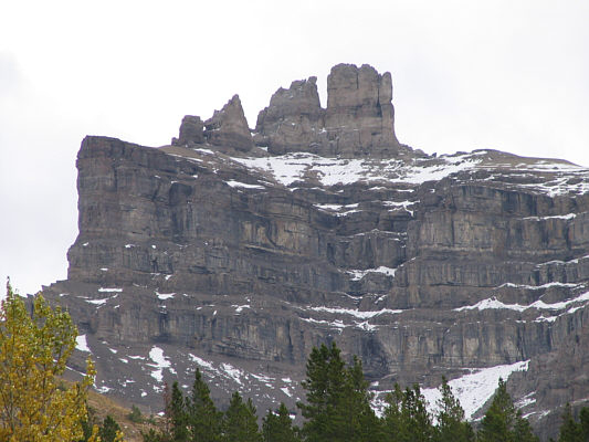
This is the west side of Castle Peak (2558 metres) as seen from Castle River Road.
Table Mountain's true summit is just out of view to the left. 
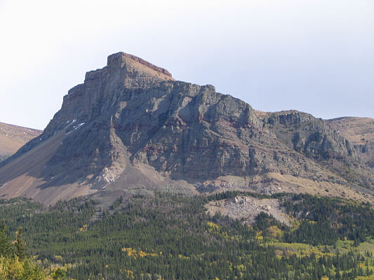
Here is the western plateau of Table Mountain as seen from Beaver Mines Lake Road.
The wind already felt pretty strong here. 
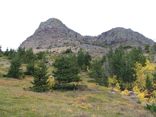
The route goes straight up a gully between the two outliers.
There were a lot of waterfowl on the lake. 
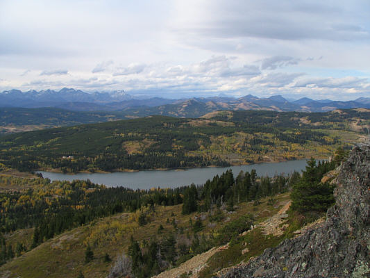
This is Beaver Mines Lake as seen from the lower slopes of Table Mountain.
I headed to climber's left here to find more solid ground. 
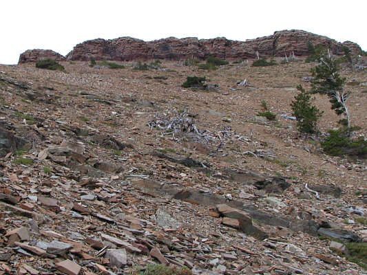
Up above is a cliff band guarding the top of the western plateau.
Not as far away as it looks... 
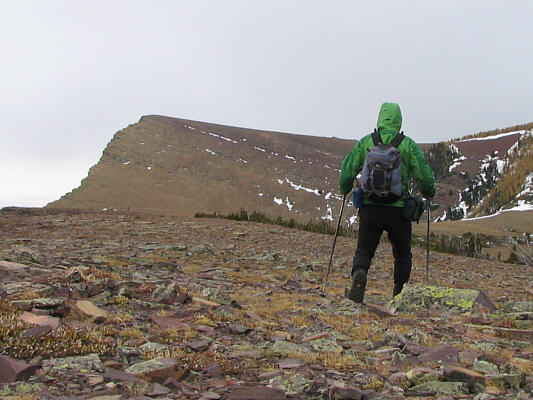
Sonny reaches the broad western plateau.  The summit of Table Mountain is visible at left.
Note the yellow lichen. 
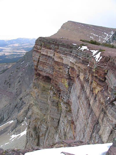
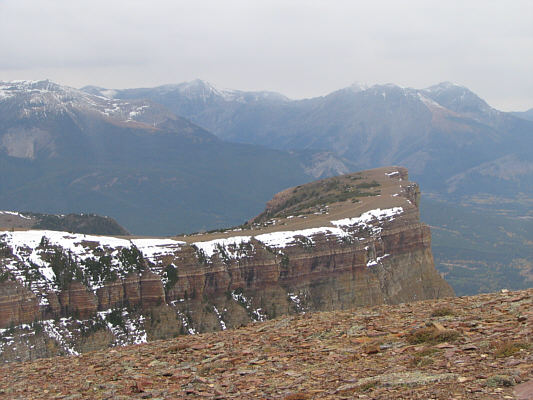
Here are some impressive cliffs on the north side of Table Mountain's western plateau.
Good place to land a plane! 
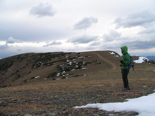
Sonny pauses to look at some approaching bad weather after descending slightly from the western plateau.
Note the red argillite in the foreground. 
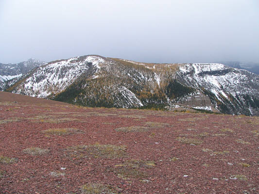
The larches have turned colour on an unnamed ridge to the southwest.
Yeah, we have some lovely weather now! Sonny squats beside a survey marker on the 2225-metre summit of Table Mountain.
Looks like a big launch ramp. This is looking back at the western plateau from the summit.
Darn clouds! 
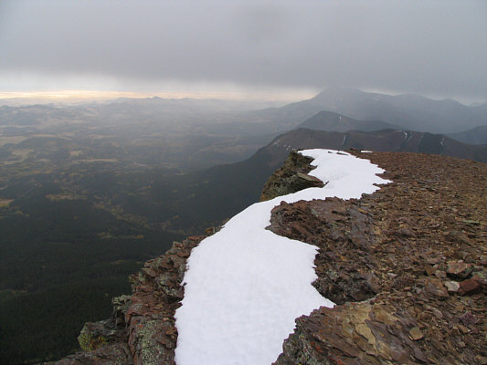
Prairie Bluff (2254 metres) is nearly obscured by clouds to the east.