BOU AVENUE
The Tower
Of all the peaks described in Alan Kane's award-winning guidebook, Scrambles in the Canadian Rockies, none have thwarted me more times than the Tower in Kananaskis Country.  On 28 September 1997, Dan Millar and I made our first attempt to scramble up this unofficially named peak.  The weather on this day was overcast, and when we hiked up to the valley north of Rummel Lake, we could not see the top of the Tower.  A roaring wind quashed any ambitions for a summit bid, and we settled on just hiking to Rummel Pass for lunch before turning around.
At least Dan bagged something on this day...  Dan bags a big boulder on the way back from Rummel Pass.
Dan and I returned for our second attempt on 16 September 2000.  This time the weather was perfect, and the summit seemed like a sure bet.  About halfway up the southeast ridge though, my mind started playing tricks on me as I looked upslope.  Because of foreshortening, it was difficult to tell where the true summit was, and I became convinced that we were on the wrong ridge.  Regrettably, Dan deferred to my terrible route-finding skills, and we turned around instead of continuing upward to see how far we could get.  I am haunted by this decision to this day.
It's a real shame that we turned around soon after this photo was taken. Dan scrambles up the southeast ridge.
Calling this a "lake" is a bit of a stretch! Dan hikes past the "second lake" on the way out.  Commonwealth Peak and Mount Birdwood provide a dramatic backdrop.
Paul Dormaar joined Dan and me for our third attempt one week later on 23 September 2000.  I was so thoroughly convinced about the "correct" route up the mountain that even Paul, an experienced mountaineer, did not question it.  After several hours of slogging up my route, which turned out to be the southwest ridge, it became increasingly apparent that I had goofed again.  We ended up on the west summit, the same one that Kane warns about in his route description.  Despite the undeniably beautiful views from the west summit, I was crushed with disappointment especially when I realized that, the week before, Dan and I were on the correct route after all.  After this third attempt, I put the Tower on the backburner, but I never envisioned that nearly 7 years would go by before I would return to complete the ascent.
We mistakenly slogged up the slope at left on this day.  A fresh dump of snow enhances the look of the Tower.
This was actually a lot of fun, but...  Paul and Dan (leading) work their way up the southwest ridge.
Doh!  Dan reaches the top of the west summit (over 3025 metres).  The true summit is at left.
When I returned for my fourth attempt on 6 August 2007, Dan's interest in bagging the Tower had waned, but Kelly Bou agreed to accompany me as far as the base of the scree slope leading to the upper mountain.  Leaving the trail head at 2:35 PM, Kelly and I easily hiked to Rummel Lake and continued into the upper valley.  We took a break at a mud flat (the "second lake" described by Kane) before I started up the scree slope while Kelly killed some time by hiking to Rummel Pass.  It took me two hours to go from the mud flat to the summit (relentlessly steep), and after I spent about half an hour at the top, it took me less than an hour to descend and rejoin Kelly (nasty loose rock up high, but some good scree surfing lower down).  A brisk hike in growing darkness had us back at the trail head by 10:19 PM.  Although the Tower was my last "Kane tick", the late drive home precluded any sort of celebratory dinner.  Perhaps I was too tired or hungry, but I hardly thought about my incredible journey since that first scramble up Heart Mountain over 13 years ago.  Instead, the one thought that kept recurring was, "What am I gonna go bag next weekend?"
I was surprised to see a biffy nearby. 
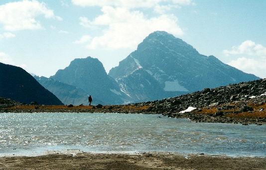
Kelly arrives at Rummel Lake.
If you look carefully, you can even spot the boulder that Dan bagged in 1997. 
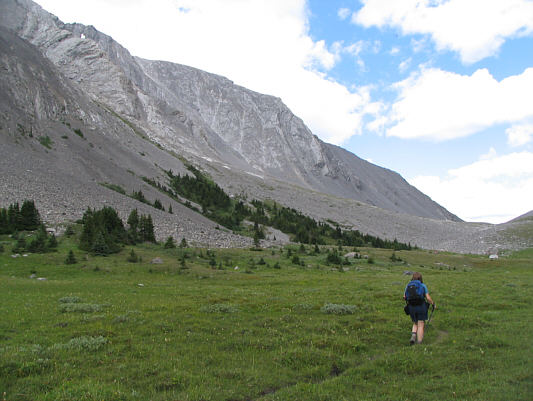
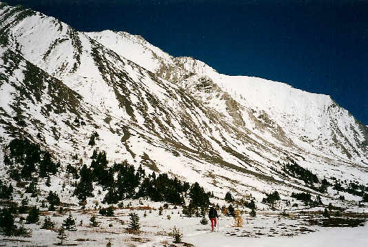
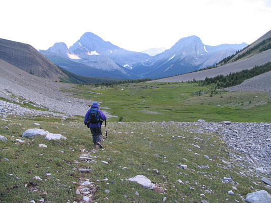
Kelly hikes up the valley north of Rummel Lake.  The Tower is at left while Rummel Pass is at right.
I stuck to the left of the major crack.  
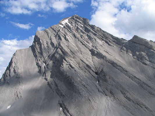
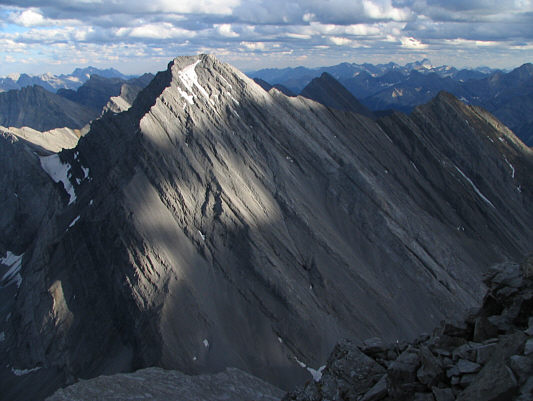
This is a very foreshortened view of the scramble route.
The Tower is the ideal spot for photographing Mount Galatea! Mount Galatea's northwest face dominates the view to the south.
That northwest ridge sure looks long!  Fisher Peak is readily visible to the east.
Thankfully, you can't see the biffy from here! This is Rummel Lake as seen from the upper south face of the Tower.  At upper left on the horizon are Mount French, Mount Robertson, and Mount Sir Douglas.
Go up slabs, come down scree.  The upper south face of the Tower is typified by slabs and lots of loose scree.
Possibly the crux, if there's such a thing on the Tower.  
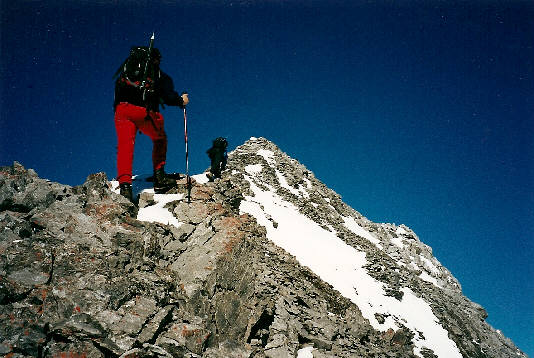
Sonny scrambles up to a notch in a rock band not far from the top.
Why three?  
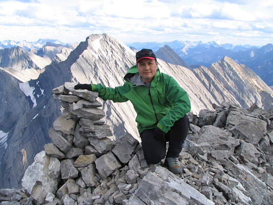
Three distinctive cairns mark the summit of the Tower.
I waited nearly 7 years to get this view!  
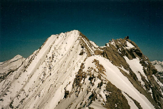
This is the west summit as seen from the true summit.
The end of a long quest...  
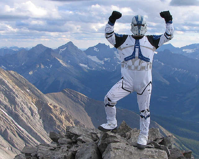
Sonny kneels beside one of the cairns on the 3117-metre summit of the Tower.
Lunette Peak also beckons!  Mount Assiniboine beckons to the west.
The two peaks of Mount Kidd almost appear as one.  To the northwest are the Galatea Lakes and both peaks of Mount Kidd.
Almost makes me wanna climb up Mount Galatea again...almost.  Mount Galatea steals the spotlight to the south.
The Fist is also visible although it's superimposed on Mount Smuts. Kelly hikes back down the valley.  Commonwealth Peak, Mount Birdwood, and Mount Smuts are visible in the distance.
Wonder if anyone's ever tried smoking fireweed...  
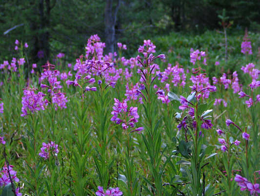
The evening light really brings out the colour of fireweed.
Hard to believe it took me until my last Kane peak to figure out how to shoot one of these cascade photos!  
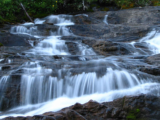
Rummel Creek cascades over some rocks.
We brought headlamps but didn't really need them.  
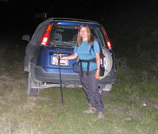
Kelly makes it back to the car in the dark.