 |
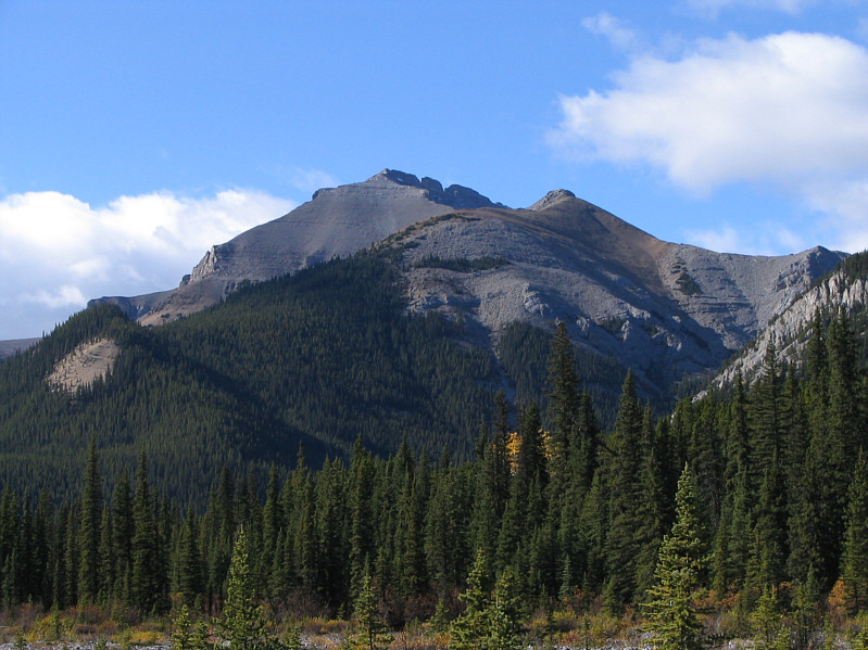
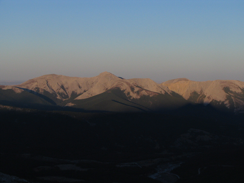
This is Mount Bryant as seen from Canyon Creek. Only the east
summit is visible from this vantage point. |
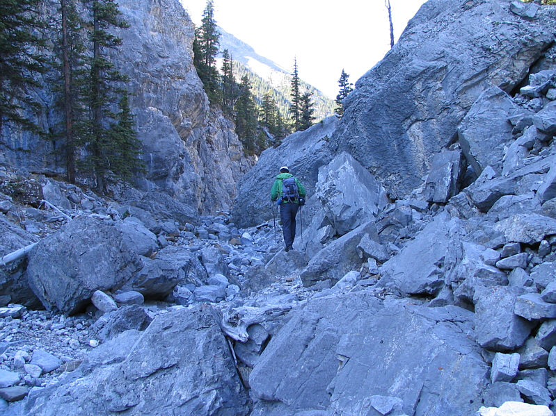 |
Sonny hikes through one of the few interesting sections on the approach
to "Bryant Lake". |
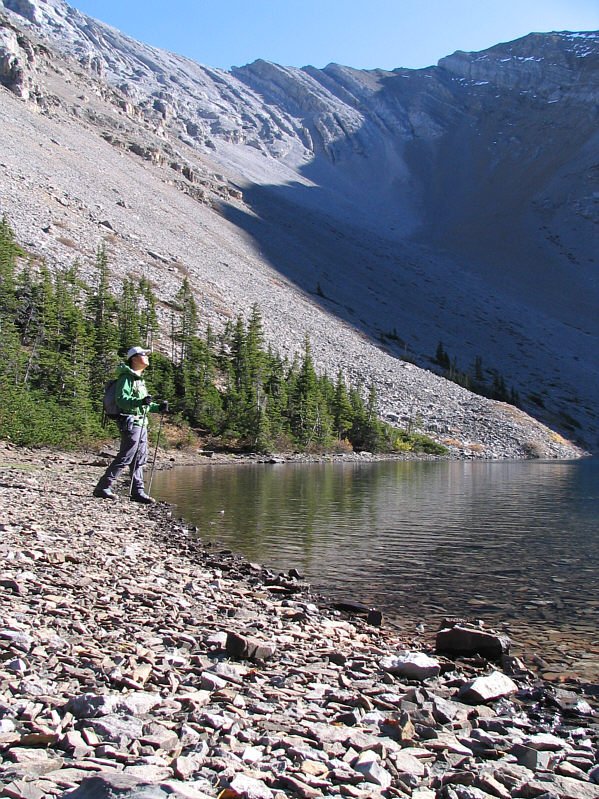 |
Sonny reaches the shores of "Bryant Lake". |
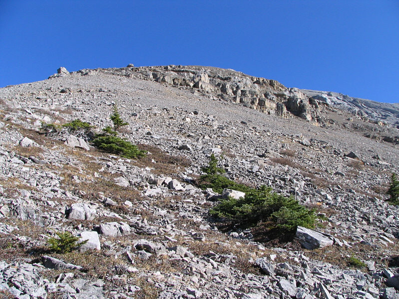 |
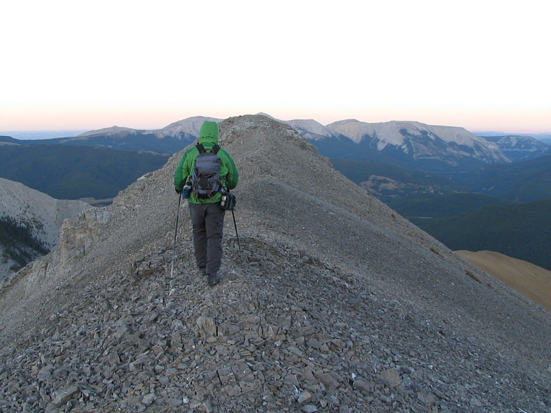
This is the "easy" slope leading to the summit. |
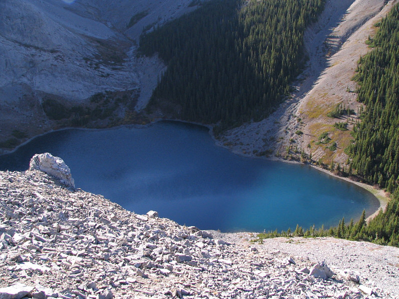 |
This is looking down at "Bryant Lake" from the route to the summit. |
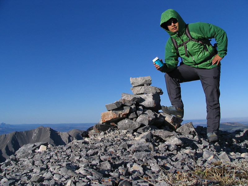 |
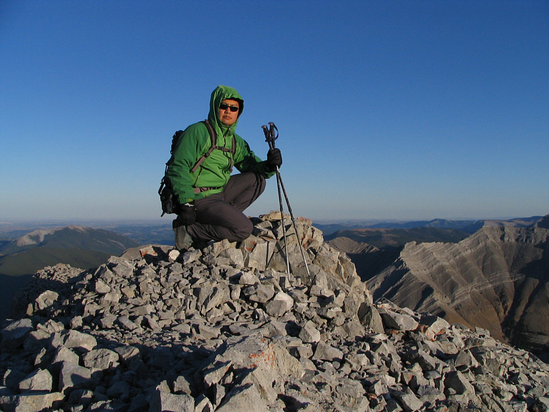
Sonny holds the register at the
2643-metre summit of Mount Bryant. |
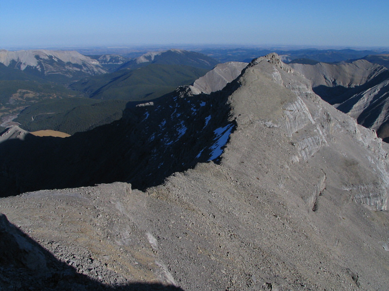 |
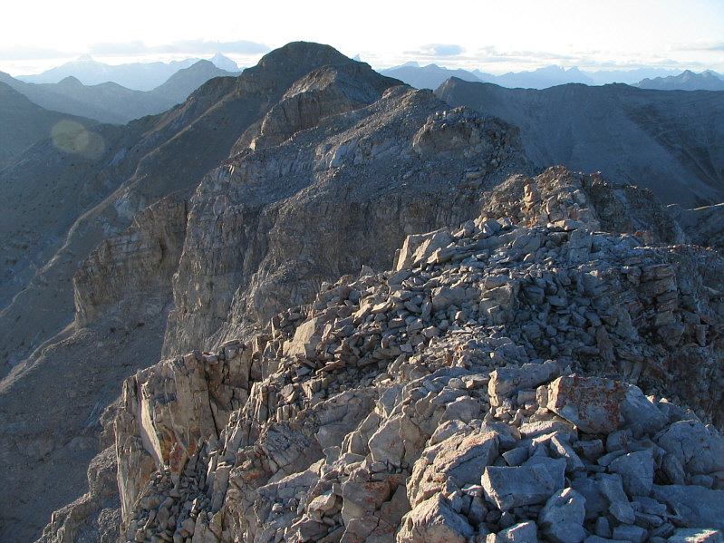
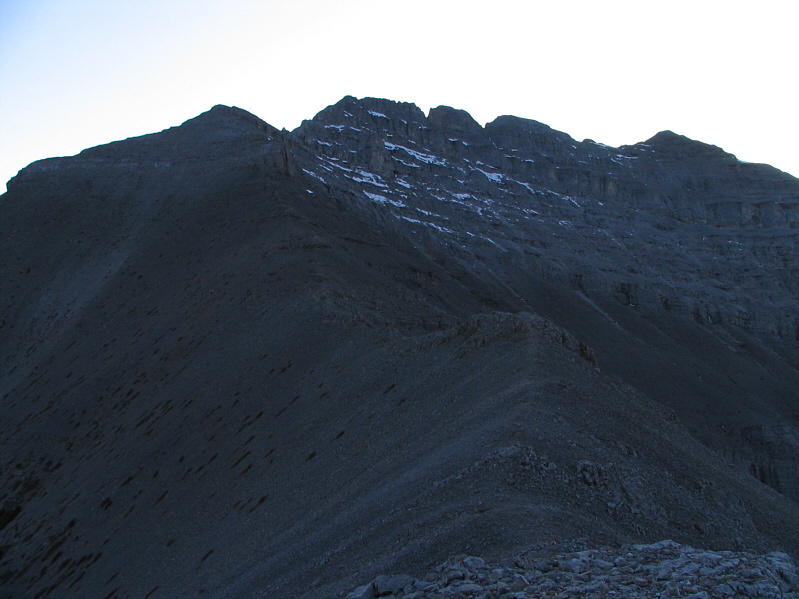
This is the intervening ridge to the east summit. |
 |
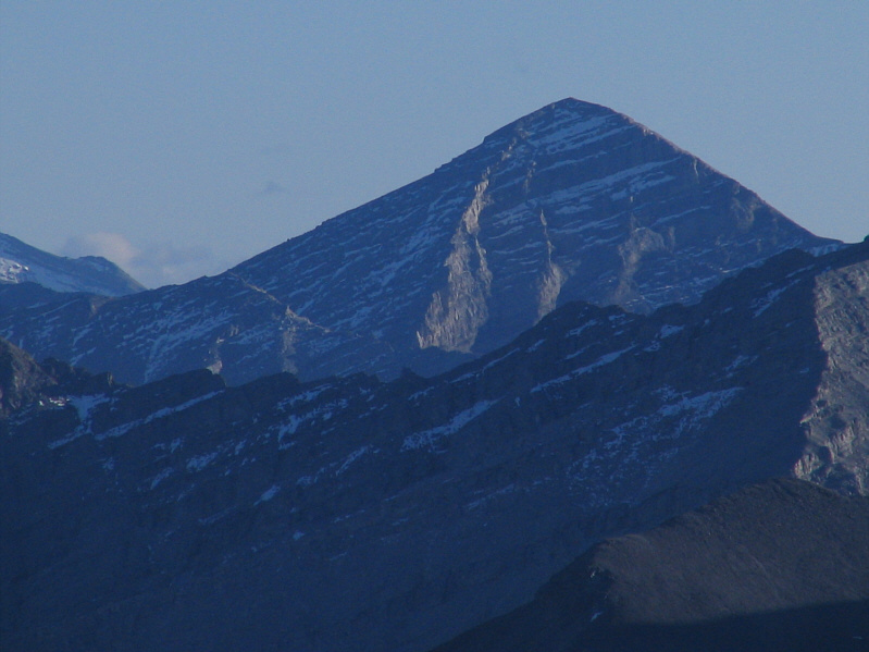
To the southwest, Mount Fisher shows off its north face. |
 |
Visible to the south is Mount Glasgow. |
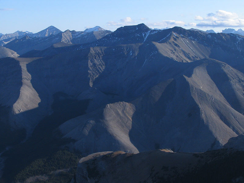 |
Mount Howard dominates the view to the south. |
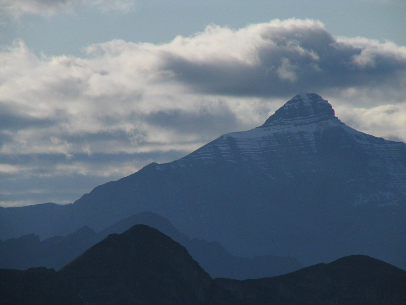 |
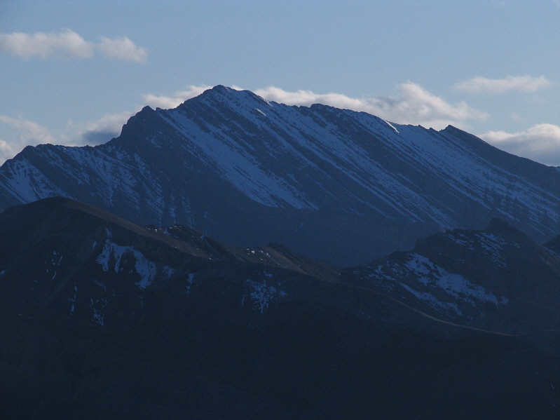
Mount Bogart looks broodingly dark to the west. |
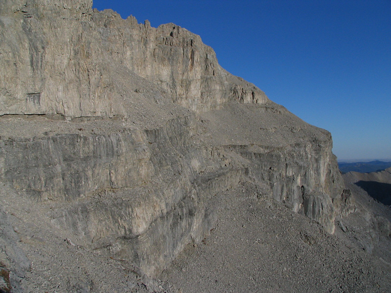 |
The traverse described by Nugara is
along the uppermost scree-covered ledge. |
 |
Sonny reaches the 2620-metre east summit of Mount Bryant. |
 |
This is looking back at the true summit from the east summit. |
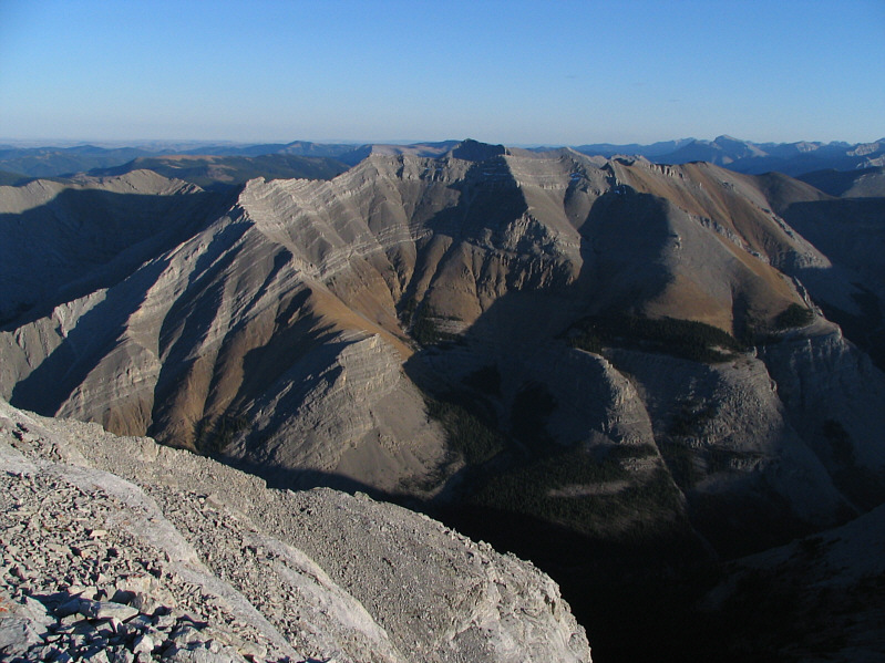 |
Here is a dramatic view of Compression
Ridge from the east summit of Mount Bryant. |
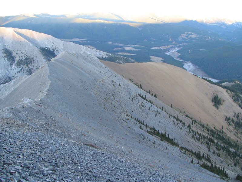 |
This is the end of the east ridge. Nugara's recommended descent
route goes down the brown scree to a drainage out of view to the right. |
 |
The late day sun illuminates Moose
Mountain. |
 |
Sonny hikes down the remainder of the east ridge. |
 |
This is looking back up the east ridge. The true summit is the bump
at far right. |
