


Be sure to check out Bob's trip report here.
|
|
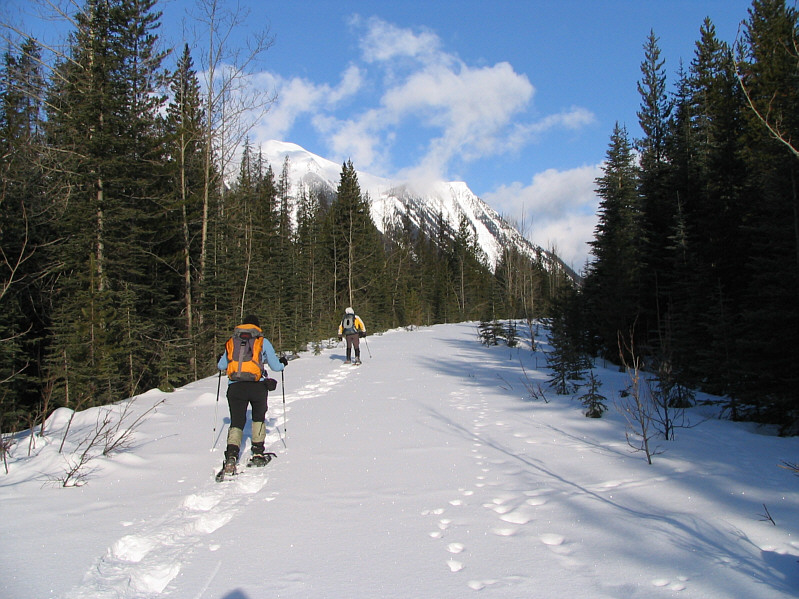
Dinah and Bob briefly follow the old road which runs parallel to the highway. |
|
|
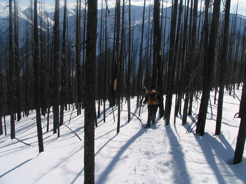
The bulk of the ascent goes through burnt forest. |
|
|
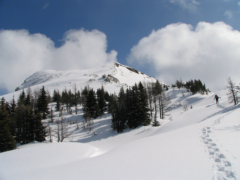
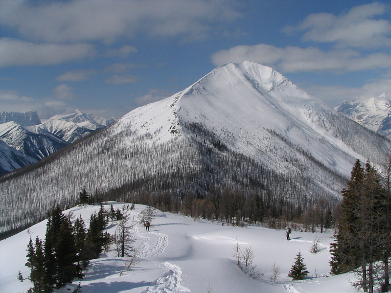
The trees start to thin out on the west ridge of Mount Haffner. |
|
|
The summit finally comes into sight. |
|
|
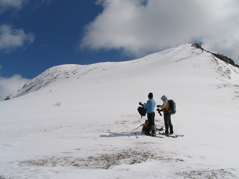
Dinah and Bob stop to put on some warmer clothing before the final summit push. |
|
|
Bob resumes climbing up the slope. |
|
|
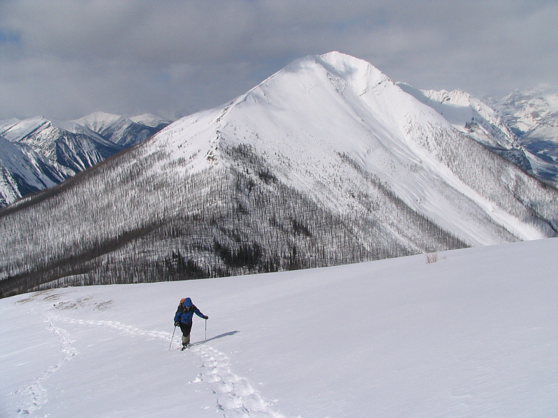
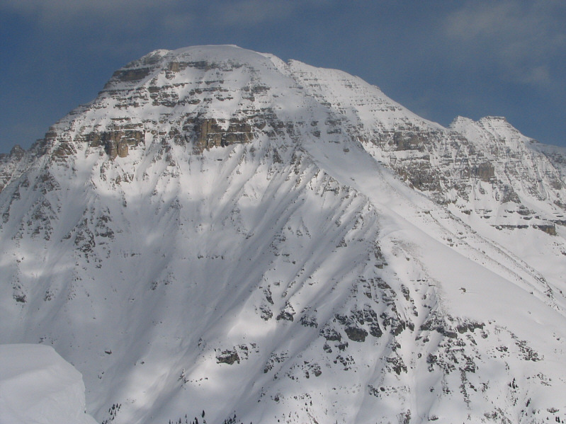
Vermilion Peak looks resplendent in the afternoon sun. |
|
|
Dinah shows off her snowshoeing technique. |
|
|
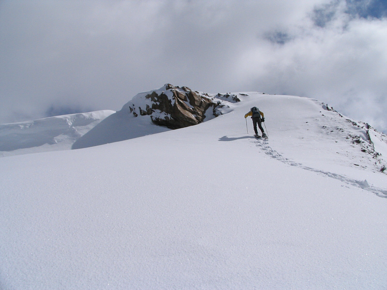
Bob takes the last few steps before the summit. |
|
|
Sonny, Dinah and Bob stand on the 2534-metre summit of Mount Haffner. |
|
|
Mount Whymper can be seen to the north. |
|
|
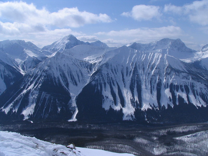
The Rock Wall is the most prominent feature to the west. |
|
|
The view to the southwest includes Foster Peak (3204 metres) on the left horizon. |
|
|
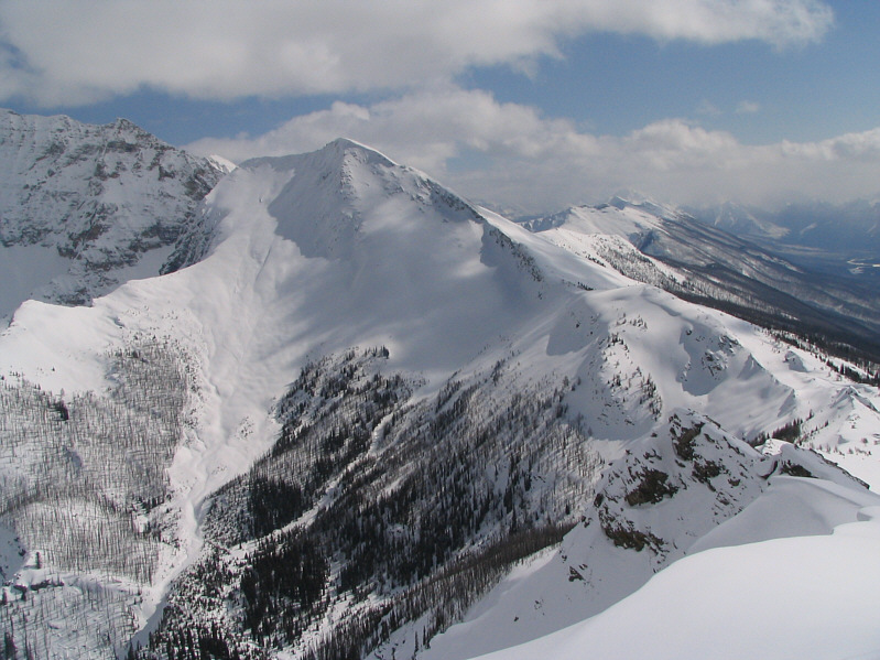
Southeast of Mount Haffner is a higher unnamed summit. |
|
|
To the east are the headwaters of Haffner Creek with Mount Ball situated at centre on the skyline. |
|
|
Stanley Peak dominates the view to the northeast. |
|
|
Here is another look at Vermilion Peak as Dinah and Bob head down Mount Haffner's west ridge. |
|
|
The bulk of the descent goes through burnt forest. |
|
|
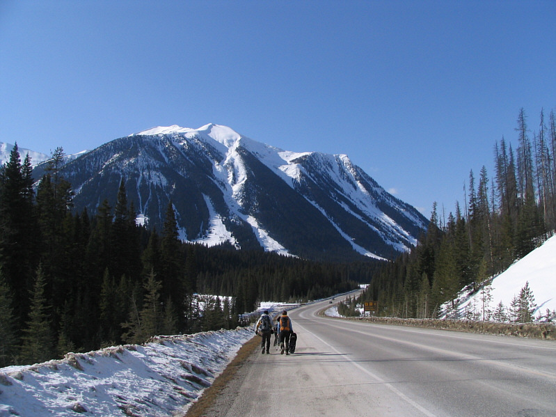
Bob and Dinah walk back to the parking lot along the highway. |