BOU AVENUE
Rockwall Trail (North)
Three years ago, Kelly Wood (now Kelly Bou) went on a solo backpacking trip along the Rockwall Trail in British Columbia's Kootenay National Park.  She had originally intended to hike the trail in its entirety from Floe Lake to Helmet Falls, but a snowstorm midway through her trip forced her to exit via Tumbling Creek.  That turned into a bit of an epic when she took a tumble while fording Tumbling Creek (a bridge was washed out).  Although she eventually made it back to the highway safely, her tribulations did not end there, but that is another story.

On 2 September 2008, Kelly returned to complete the northern half of the Rockwall Trail and convinced me to join her (I had already done both the northern and southern halves during the summers of, respectively, 1994 and 1995).  Because I had some commitments in Calgary earlier in the day, we did not arrive at the Paint Pots trailhead until late in the 
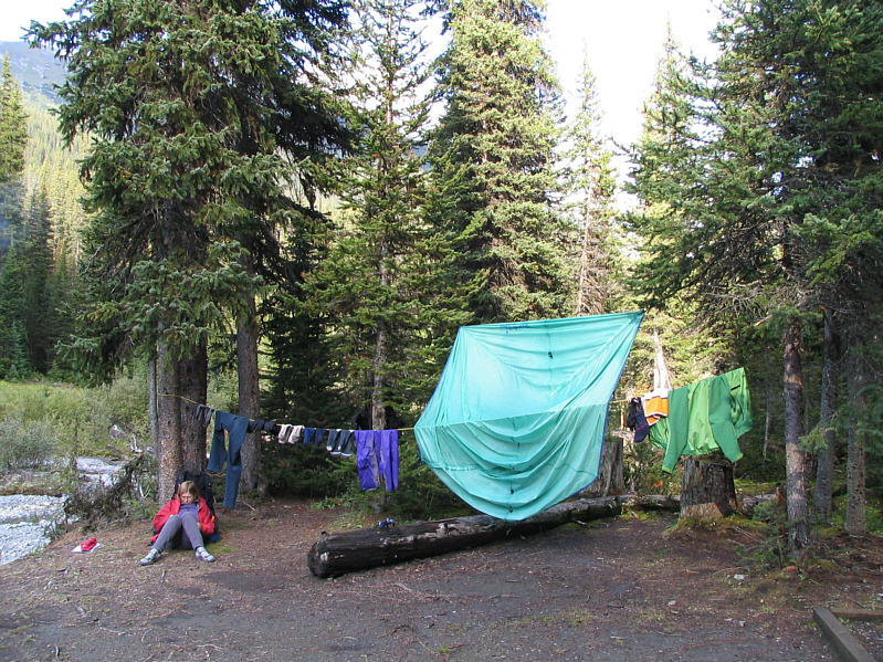
afternoon.  Despite the growing darkness, we had an uneventful hike to Helmet Falls backcountry campground where we set up camp and had a late supper.
We're still over an hour away from the campground.  Limestone Peak comes into view along the trail to Helmet Falls campground.  Also visible is snowy Helmet Mountain.
Looks rather rickety, doesn't it? Kelly crosses a bridge over Helmet Creek.
On the following day, 3 September 2008, we woke up to cool and damp conditions.  It had rained overnight, and my boots, which were left just under the edge of our tent fly, were slightly wet.  Just to make sure that they were really soaked, I slipped into the creek while retrieving water for breakfast.  The day definitely did not start out well for me.  After breakfast, Kelly and I geared up for a day hike to Goodsir Pass.  The highlight of this trip was eating lots of ripe huckleberries all along the trail.  However, Goodsir Pass was unfortunately socked in, and there was wet snow falling.  When we reached the pass, we merely stopped for a quick lunch before returning the way we came.  As usual, the sun came out as soon as we reached camp; nevertheless, this was a good opportunity to dry out some of our gear.  We had a nice chat with an Australian at dinner before turning in for the night.   
I scrambled up the ridge in the background the last time I was here. It is snowing at Goodsir Pass.
Unfortunately, we couldn't see the Goodsirs on this day. Sharp Mountain towers over the pass.
Unfortunately, the sun disappeared much too quickly for all our gear to dry out. Kelly relaxes with a book in camp.
I wonder how many mountains in this world are named "Limestone"... Limestone Peak looks radiant late in the day.
Kelly and I woke up to ice on our tent on the morning of 4 September 2008.  At least the sun was out, and after breakfast, we dried out our gear some more in front of the nearby warden's cabin.  We eventually packed up camp and began the long climb up and over the eastern shoulder of Limestone Peak.  Although losing all our hard-won elevation and having to regain it all to reach Rockwall Pass was rather annoying, the splendid views up and down the length of the Rockwall more than justified the effort, and we were also thankful that the weather was so cooperative.  We originally intended to camp at Tumbling Creek campground, but after dropping down from Rockwall Pass, we decided that it was worth hiking another 3.5 hours or so to reach the trailhead instead of spending another chilly night in a wet tent.  A bridge was now in place where Kelly had to ford the creek three years ago; thus, our hike out was generally trouble-free, perhaps a little boring even.
The front porch of the warden's cabin is a good place to dry out gear in the morning if the sun is out. 
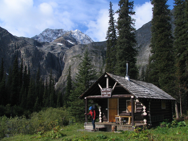
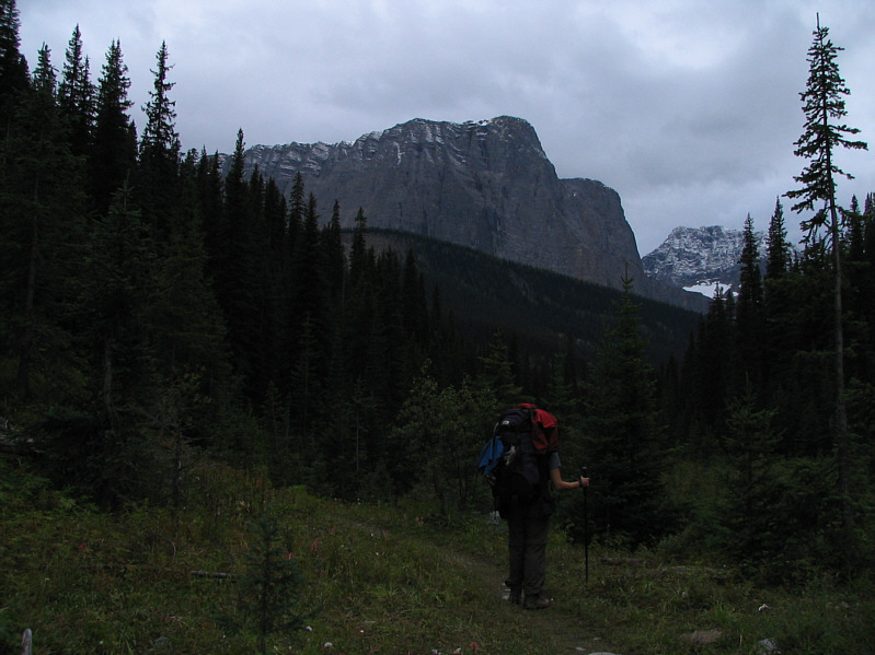
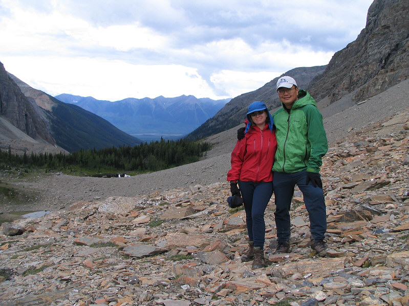
Kelly gets ready for a long day on the trail.  Helmet Falls and Helmet Mountain are visible in the distance.
The mountain is probably seldom climbed. 
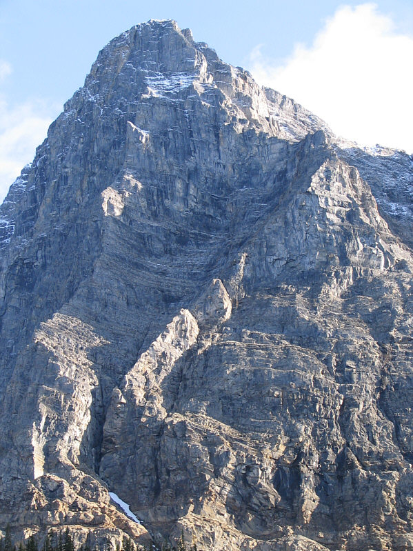
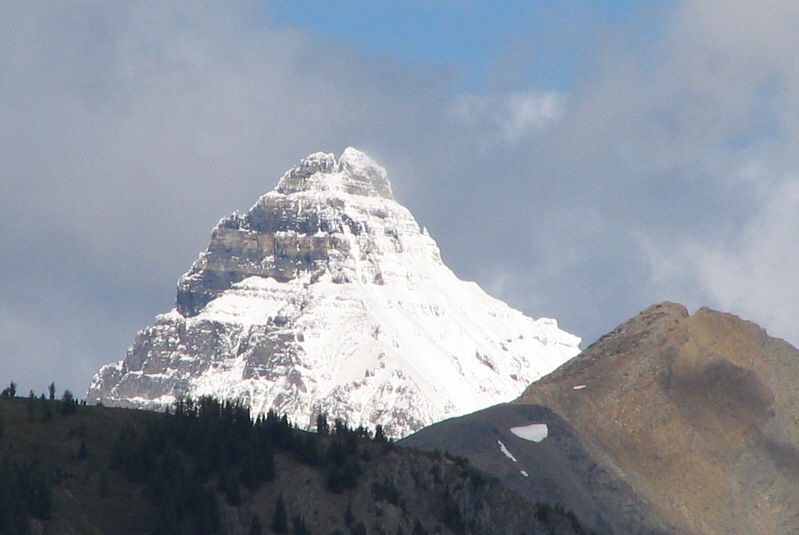
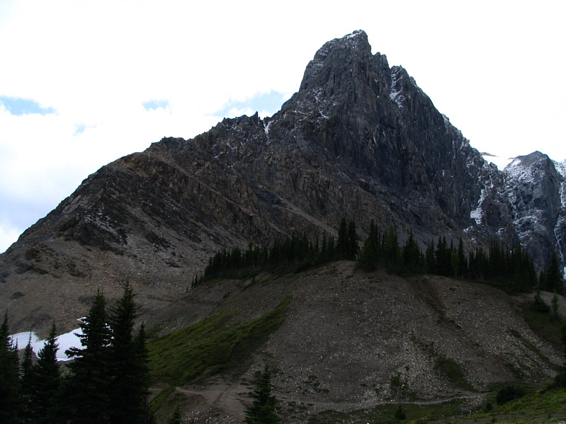
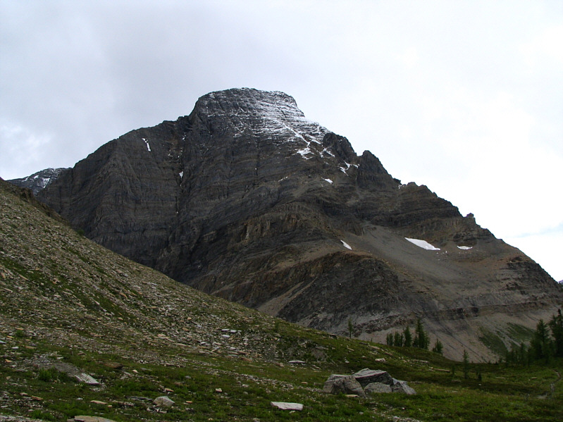
Here is a closer look at the north side of Helmet Mountain.
These will be turning colour in a few weeks. 
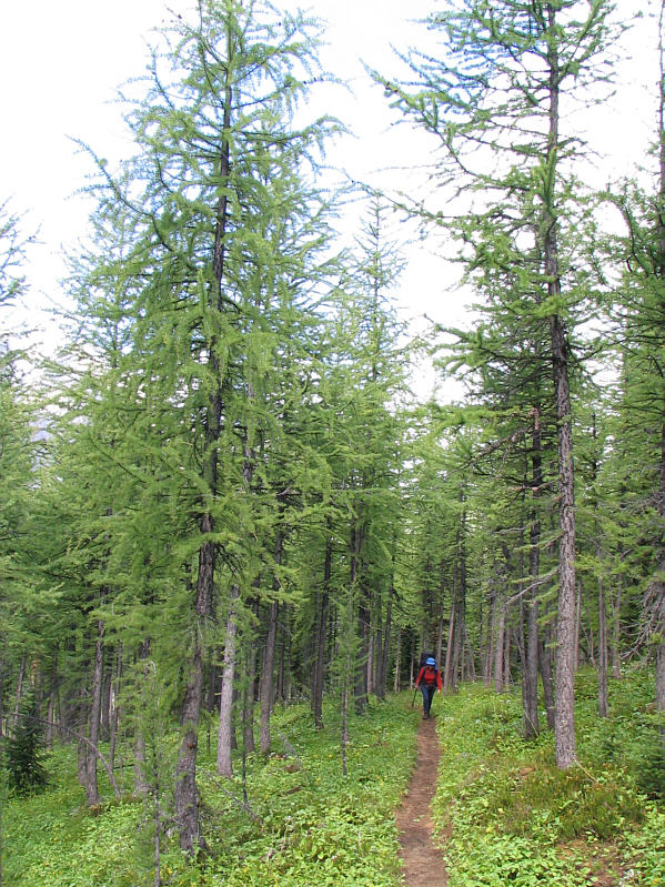
There are a lot of larches along the Rockwall Trail.
One of the best views of the day. 
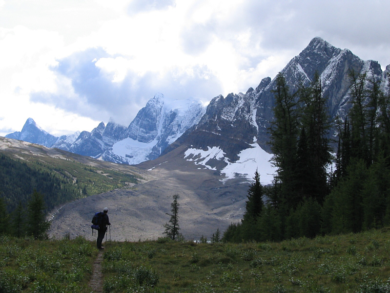
This is the view to the south from the shoulder of Limestone Peak.  Foster Peak is visible at far left.
I don't think I had as great an appreciation of the Rockwall the first time I came here. 
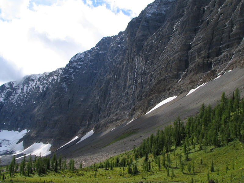
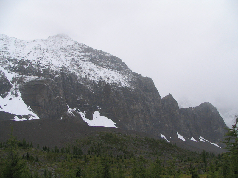
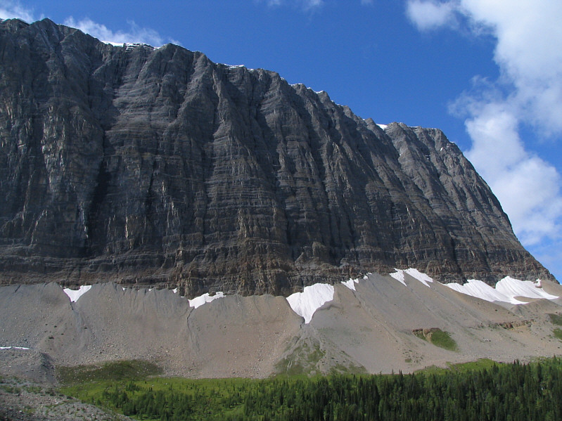
The Rockwall looks most impressive from below.
Kind of an "anti-summit" photo! 
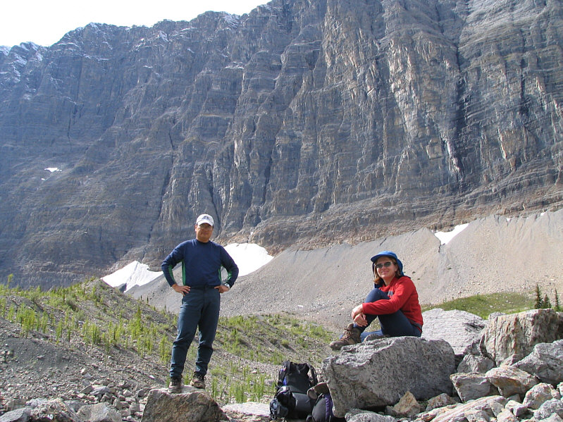
Sonny and Kelly pose below the Rockwall.
Doesn't look much easier to climb from this side! Deltaform Mountain pokes above an intervening ridge.
The Rockwall is difficult to photograph in its entirety. Here is another look at the Rockwall with Limestone Peak at far right.
Welcome to the roller coaster ride called the Rockwall Trail! 
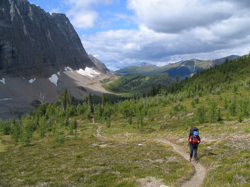
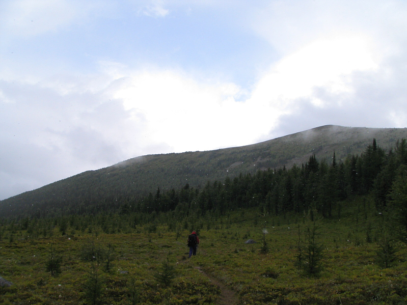
Kelly breaks out of the trees en route to Rockwall Pass.
It's definitely worth lingering here when the weather is nice. Kelly hikes through Rockwall Pass.  Wolverine Pass is hidden at far right.
It's an easy side trip to visit Wolverine Pass. 
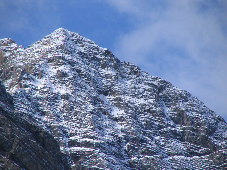
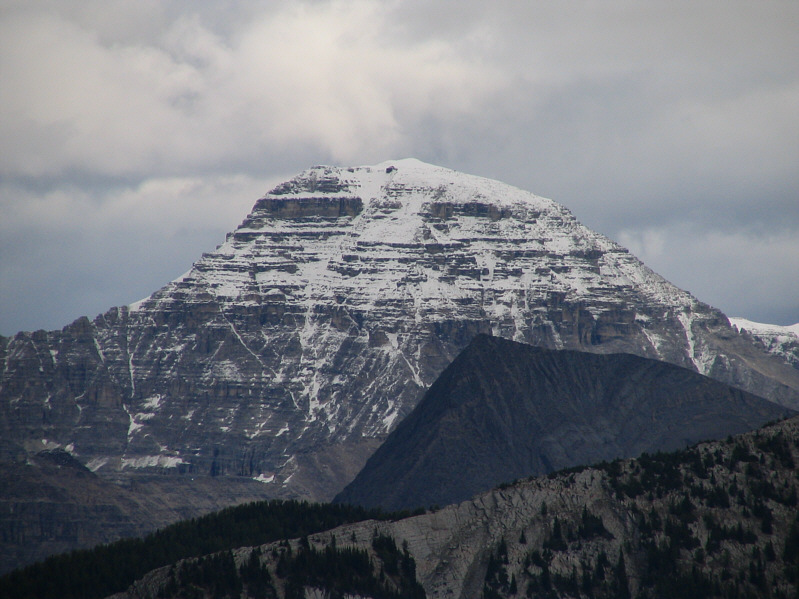
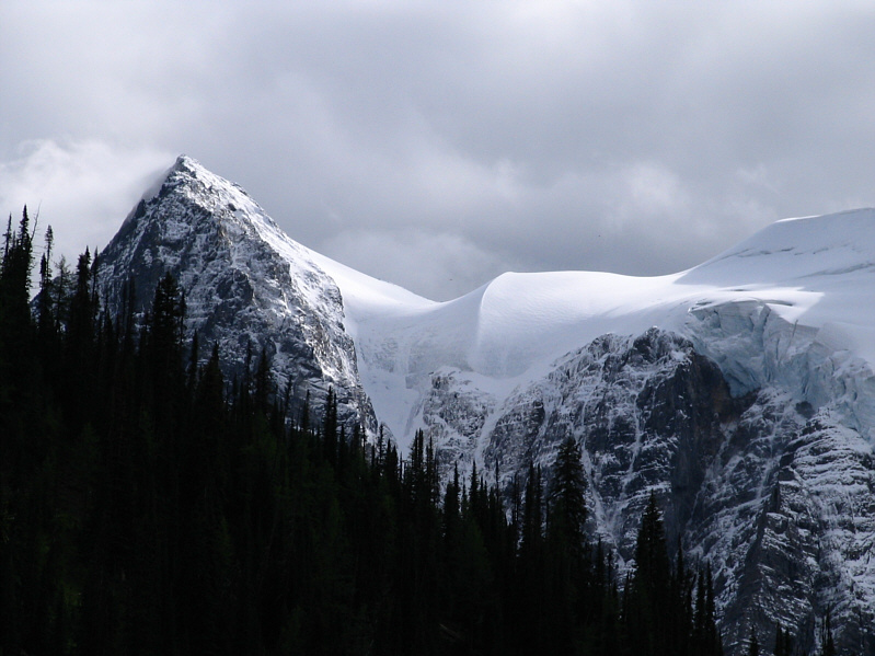
Mount Gray guards the south side of Wolverine Pass.
Looks like the weather is nicer there too. 
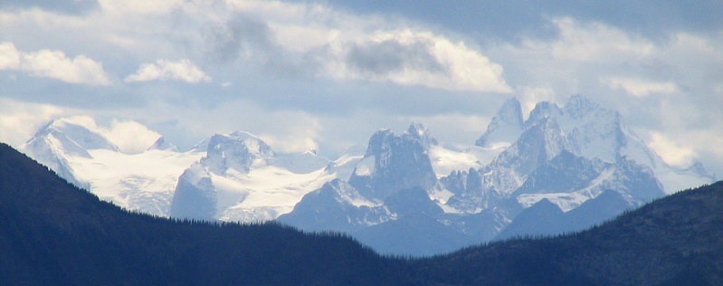
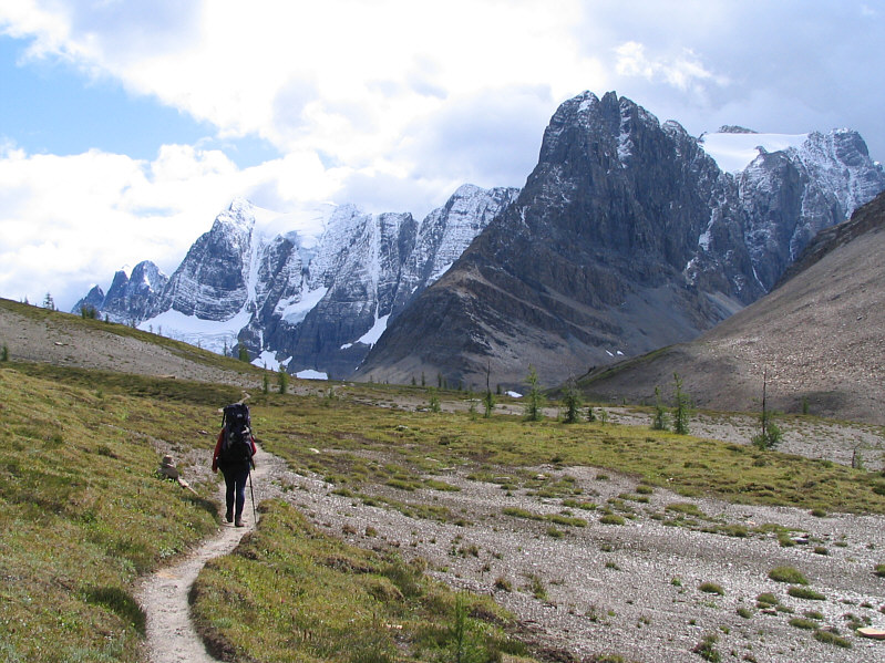
The Bugaboos are visible to the west from Wolverine Pass on this day.  Snowpatch Spire is at centre while the Howser Towers are on the right.
I'm still choked about losing all my photos from Vermilion Peak back in 1999! Also visible to the east from Wolverine Pass are Stanley Peak and Vermilion Peak (dark ridge).
I wonder how many people bother hiking through this valley. This is the view west of Wolverine Pass.
Doesn't appear to be an easy scramble from this angle. Mount Drysdale guards the north side of Wolverine Pass.
Looks like this one is fattened up for winter already! 
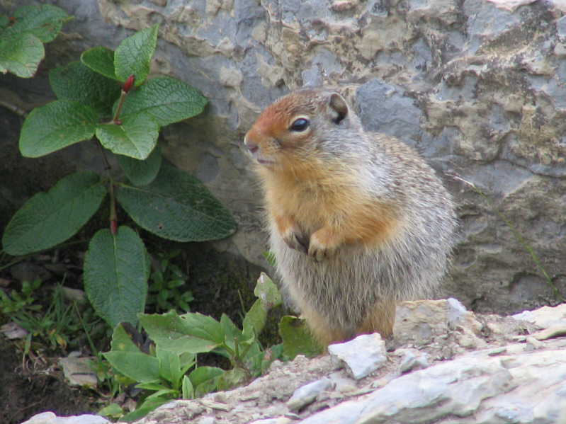
A Columbian ground squirrel keeps a watchful lookout for passing tourists along the Rockwall Trail.
It might be worth exploring this wild basin. 
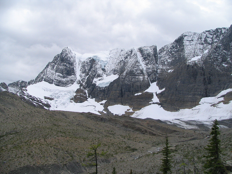
Tumbling Glacier is the source of Tumbling Creek.
Look how thick the ice is! This is one of the last good views before the trail descends into the trees.
And lots of deadfall too... 
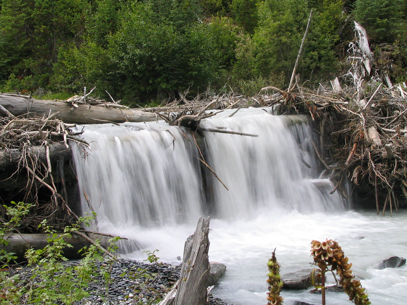
There are multiple waterfalls along Tumbling Creek.
She previously forded the creek a little further downstream from here. 
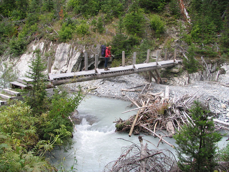
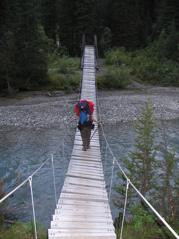
Kelly crosses a new bridge over Tumbling Creek.
I'm looking forward to sleeping in a warm bed tonight! 
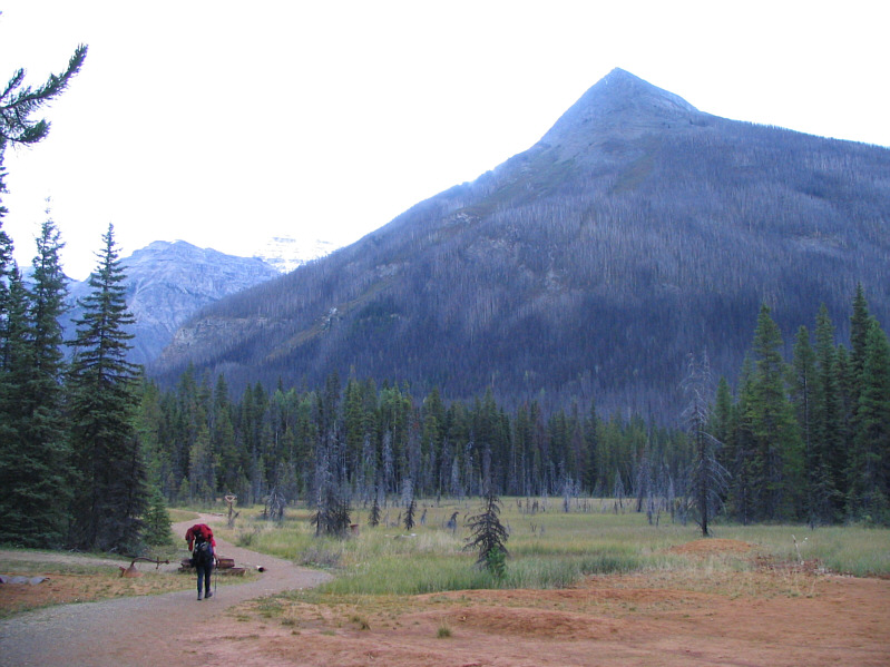
After about 9 hours and 22 kilometres from Helmet Falls campground, Kelly finally arrives at the ochre beds near the trailhead.  Vermilion Peak dominates the backdrop.