BOU AVENUE
Volcano Ridge
On 26 October 2008, Kelly Bou, Joanne Francis, Matt Leith, and I hiked up Volcano Ridge located in the foothills of Kananaskis Country.  The shortest access to Volcano Ridge is via Link Creek Trail from the Volcano Ridge trail head.  Unfortunately, I failed to recall that Gillean Daffern had mentioned about two years ago that the Gorge Creek Trail (access road) was closed.  Approaching from the north, we reached the Ware Creek trail head before a metal gate prevented further travel along the road.  Undaunted, we drove back through Turner Valley, Alberta and tried to see how far we could get using the southern approach.  Unfortunately, there was another gate just past the Gorge Creek trail head; thus, the Volcano Ridge trail head is apparently inaccessible now.  Consulting the maps in Daffern's Kananaskis Trail Guide (Vol. 2), it still looked reasonable to hike up Volcano Ridge from the Gorge Creek trail head.  We finally geared up and began hiking along Gorge Creek Trail (hiking trail) before turning north onto Volcano Ridge Trail.  After keeping left at the junction with Gorge Link Trail, we turned right at the junction with Link Creek Trail and followed it eastward until we reached a pass separating Volcano Ridge and a rocky knob known as GR621178 (Kelly and I ascended this knob a few years ago).  At the pass, we had some difficulty finding the start of the route to Volcano Ridge, and later on, we briefly lost the route as it descends to a low point.  Otherwise, we had no other problems hiking to the summit of Volcano Ridge.  After returning to the pass, we scrambled up over GR621178 and continued south along the easy forested ridge all the way back to the junction of Gorge Link and Volcano Ridge Trails.  An easy walk had us back at the trail head after a round-trip time of 6.5 hours.
Another on my to-do list. 
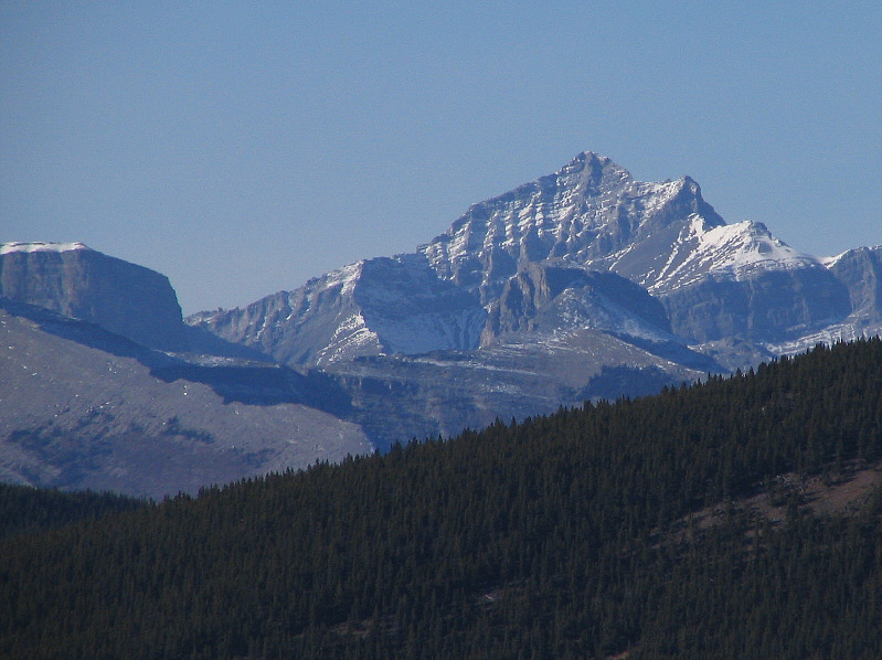
Bluerock Mountain reveals itself early on in the hike.
A good hike to chew the fat with someone. 
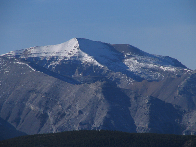
Kelly and Joanne arrive at the pass which reveals Bluerock Mountain in its entirety.
As easy as it looks...really! 
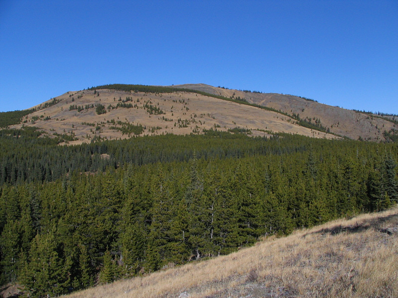
This is Volcano Ridge as seen from the pass.
It doesn't stay steep for long though! Kelly, Joanne, and Matt hike up the steepest part of the route.
It wasn't a very scenic approach anyway. 
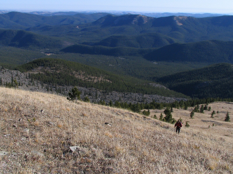
The old approach for Volcano Ridge comes up the valley in the background.
Hey, there's even a little scrambling up ahead! Kelly and Matt are nearing the top of Volcano Ridge (not visible here).
A little over 500 metres elevation gain from Gorge Creek trail head. Kelly, Matt, and Joanne reach the 2133-metre summit of Volcano Ridge.
A nice double date! Sonny, Kelly, Matt, and Joanne pose for a group photo on the summit.
Continuing to Allsmoke Mountain is probably as pointless as an ascent of Exshaw Mountain! 
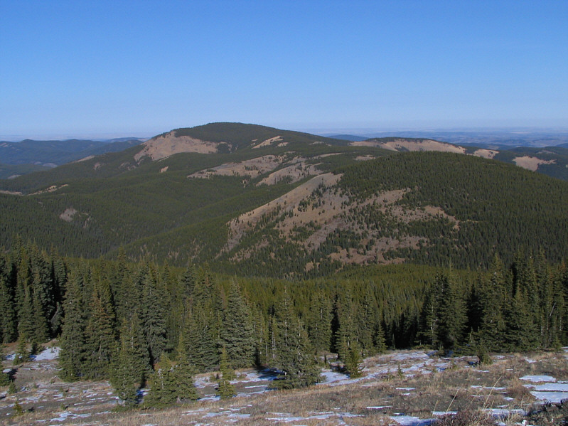
This is looking north along the rest of Volcano Ridge to Allsmoke Mountain.
Almost didn't notice Mount Remus in the photo! To the northwest, Fisher Peak shows off its most rugged side.  Also visible are Mount Romulus (far left) and Mount Remus (directly in front of Fisher Peak).
Wonder if anyone's up there today... Mount Glasgow is exceptionally beautiful with a light dusting of snow.
Brings back fond memories of my Glasgow to Banded Traverse with Vern Dewit. Mount Cornwall looks almost unfamiliar from this angle.
Almost looks like someone was trying to spell something! Below the summit of Volcano Ridge are these oddly scattered rocks.
The easy way up is to climber's left.  The fun way up is to climber's right! 
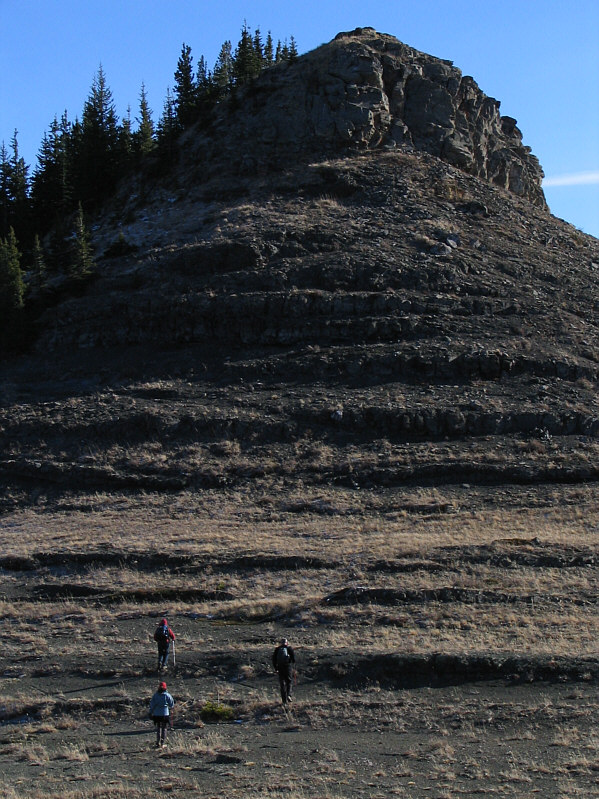
Kelly, Joanne, and Matt head toward GR621178.
A good consolation prize if you don't have the energy to go up Volcano Ridge. Matt, Kelly, and Joanne stand atop GR621178 (1920 metres).  Volcano Ridge is visible in the background.
A very pleasant descent route with little bushwhacking. Joanne and Matt descend the ridge south of GR621178 which is visible at upper left.
About 16.6 km round-trip. The group heads back to the Gorge Creek trail head.