
Kicking off our two-week vacation, Kelly Bou and I took two days to drive
from Calgary, Alberta to the trailhead for Borah Peak where we set up
camp in the late afternoon on 27
September 2009. Not surprisingly, the trailhead was a fairly busy
place on this gorgeous day, but by the evening, we pretty much had the
trailhead camp to ourselves except for a couple of motorcyclists who
arrived shortly after us. After eating a nice dinner and enjoying a
beautiful sunset, we retired for the night in our tent.
|
|
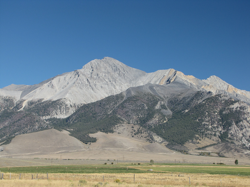
This is Borah Peak as seen from the nearby Earthquake Visitors Information Center. |
|
|
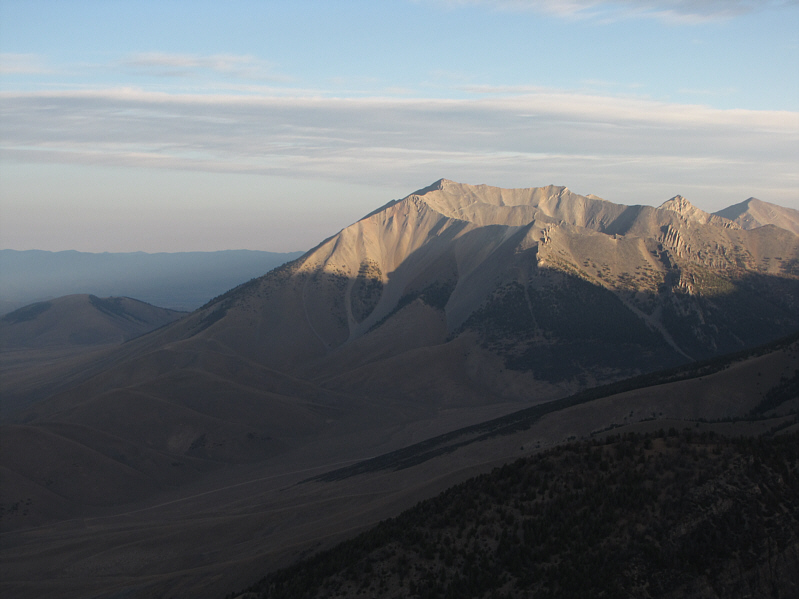
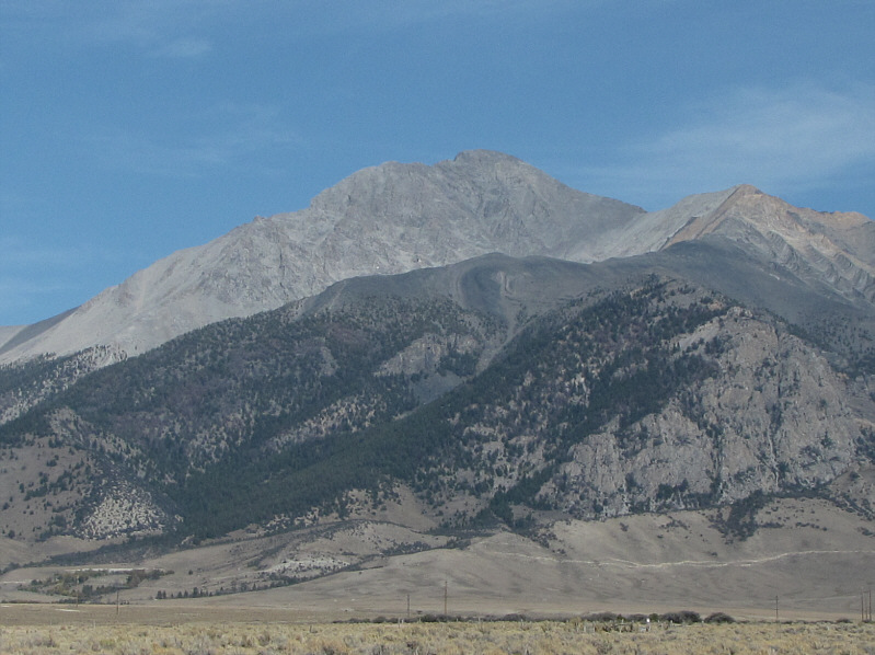
Here is another view of Borah Peak from the highway. |
|
|
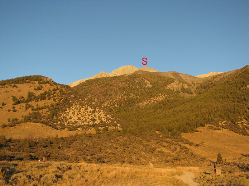
This is a foreshortened view of Borah Peak's summit (S) from the trailhead. Note the outhouse at bottom right. |
On the other side of the chute, I picked up an obvious trail which easily leads to a saddle and continues all the way up to the summit. As I climbed up the main summit block, I ran into the two motorcyclists who were on their way down. The two men had started their ascent only 15 minutes ahead of me, but they zoomed up to the summit in less than 3.5 hours because they were in a hurry to get back to Jackson, Wyoming that night. Before they went on their way, one of them strongly recommended ascending the ridge crest of the summit block. Hoping that some hands-on scrambling would alleviate my growing fatigue, I gladly took to the ridge crest. The scrambling here was fun, but it took me much longer to ascend than I was anticipating. When I reached the summit, I called Kelly on my two-way radio and was surprised to learn that the yahoos who arrived during the night had begun their ascent only within the last hour. Secure in the knowledge that I had the summit to myself for the short term, I spent well over an hour up there taking photographs, reading and signing the register, and checking out the assorted paraphernalia cluttering the summit cairn.
On descent, I took the trail down to the saddle and carefully retraced my steps back across the chute and Chickenout Ridge. I eventually came across the yahoos--a party of five from Boise, Idaho--as they were taking a break in the hot afternoon sun not far above tree line. They still had a long way to go with only a few hours of daylight left, but I was not about to lecture them on late starts! At tree line, I took a short break myself in some shade and enjoyed a cold drink and a delicious cookie before resuming my descent. I stopped once more a little later to chat with an older couple from Pocatello, Idaho who had hiked only as far as the open ridge above tree line before turning around. When I rejoined Kelly at the trailhead (round-trip time less than 10 hours), she had already packed up our tent, and we promptly drove to Arco, Idaho where we checked into a motel for the night.
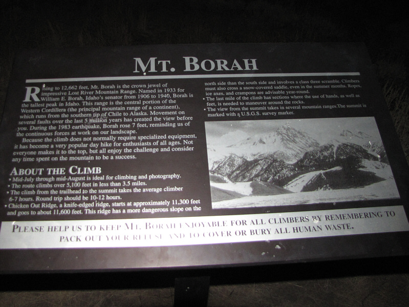 |
This is the sign at the trailhead. |
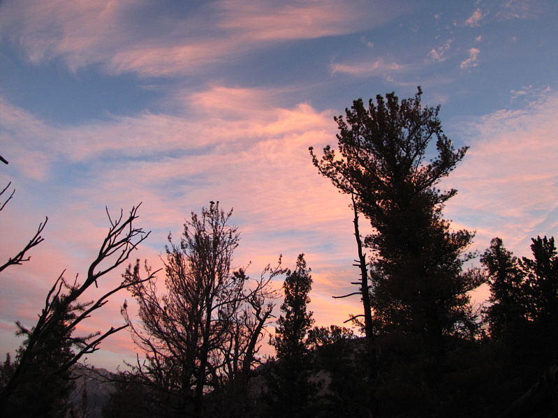 |
The sky begins to brighten up. |
 |
The day's first rays of sunshine illuminate Dickey Peak (3396 metres) to the northwest. |
 |
This is a good view of the route up to Chickenout Ridge (center) from above tree line. |
 |
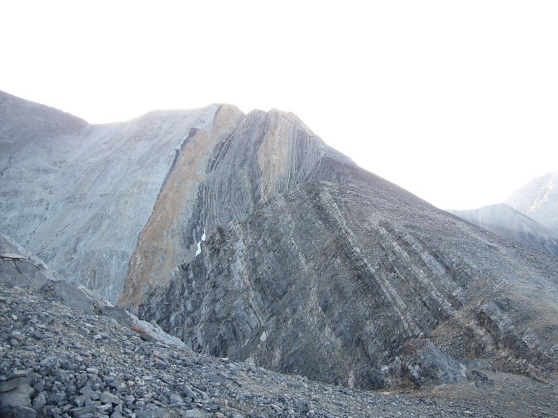
The terrain becomes more complex at the foot of Chickenout Ridge. |
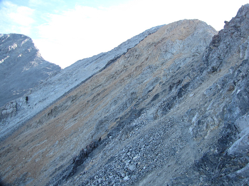 |
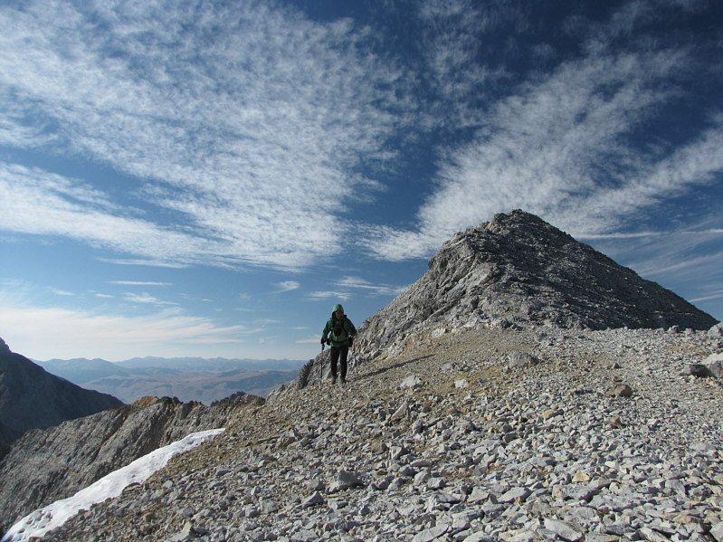
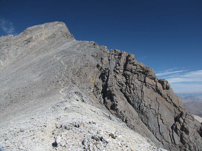
This is looking at the traverse below the crest of Chickenout Ridge. The summit is at far left. The ridge ahead is known as Point 11898 (ie. its elevation is 11,898 feet). |
 |
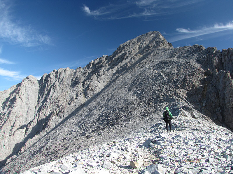
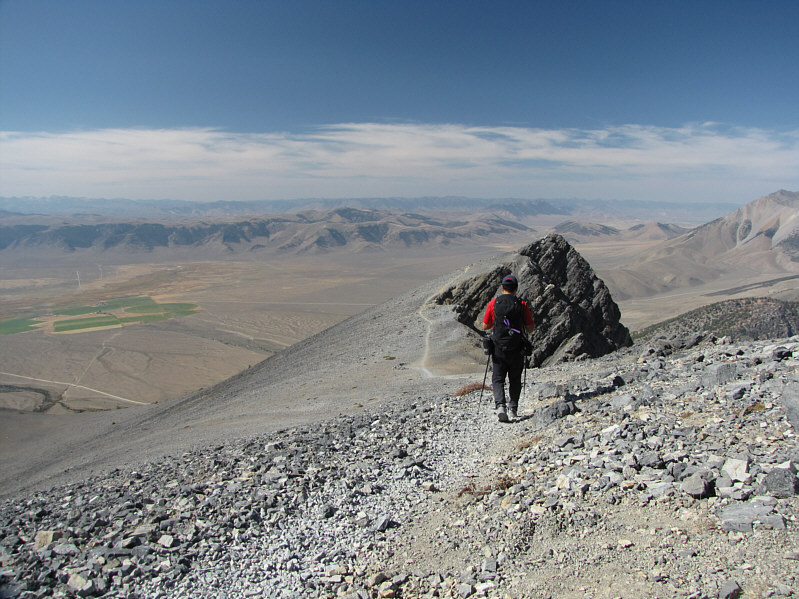
Sonny hikes across the saddle with Point 11898 behind him. |
 |
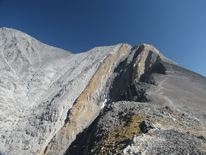
Sonny looks up at the final summit block. Note the trail going up the scree. |
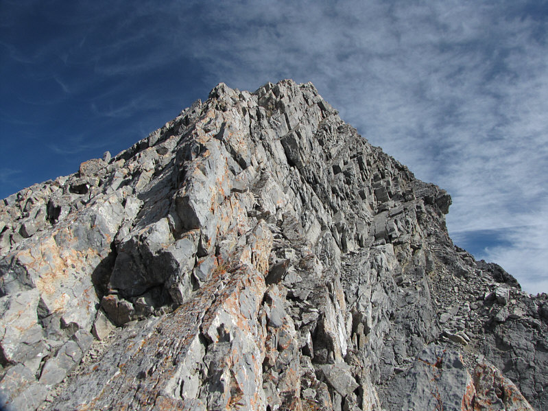 |
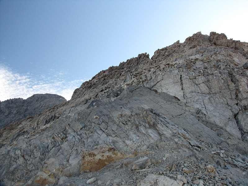
This is the ridge crest of the summit block. |
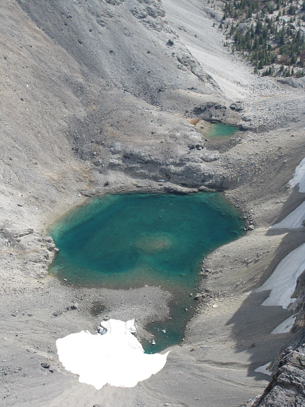 |
A small tarn sits in a basin to the east of Borah Peak. |
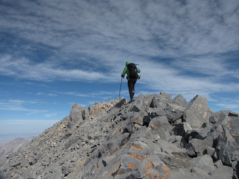 |
Sonny takes the last few steps to the summit of Borah Peak. |
 |
This is the 3867-metre summit of Borah Peak--highest point in Idaho. |
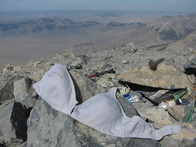 |
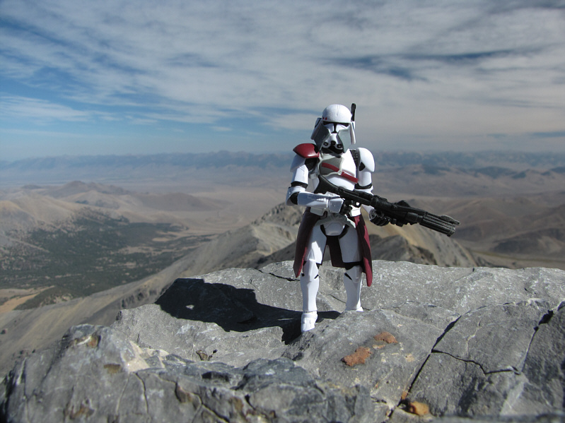
There are some interesting items that people have left behind on this summit! |
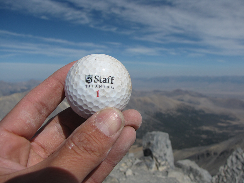 |
This is one of the many golf balls found in the summit cairn. |
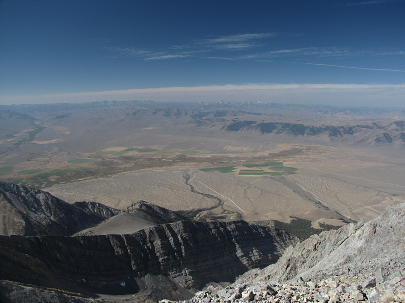 |
This is looking west from the summit of Borah Peak. The trailhead campground is visible at bottom center (where the access road ends). On the horizon are the White Cloud Mountains. |
 |
North of Borah Peak are Dickey Peak (left) and a cluster of unofficially named 11,000-foot peaks (Al West Peak, Horseshoe Mountain, and Doublespring Peak). |
 |
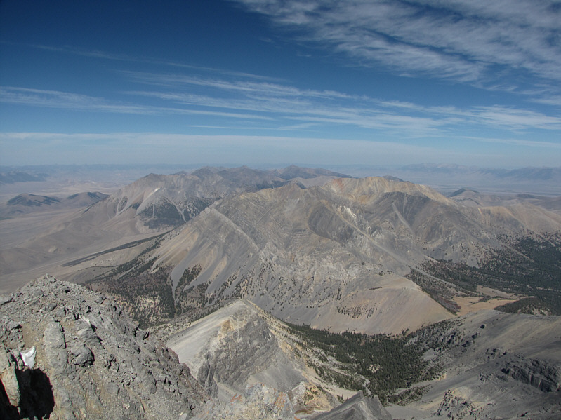
Northeast of Borah Peak is Peak 11828 which is unofficially known as Mountaineer Peak. On the horizon is the Lemhi Range. |
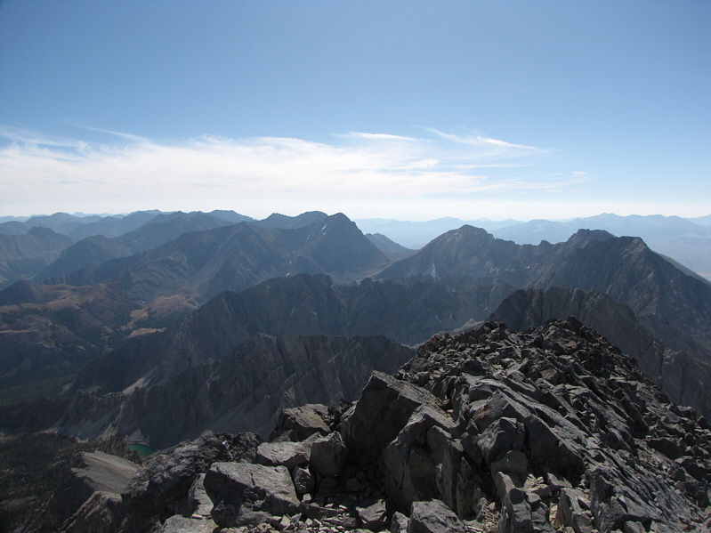 |
This is looking southeast along the Lost River Range. Just left of the gap at center is Leatherman Peak (3728 metres), the second highest mountain in Idaho. Several other 12,000-foot peaks are also visible. |
 |
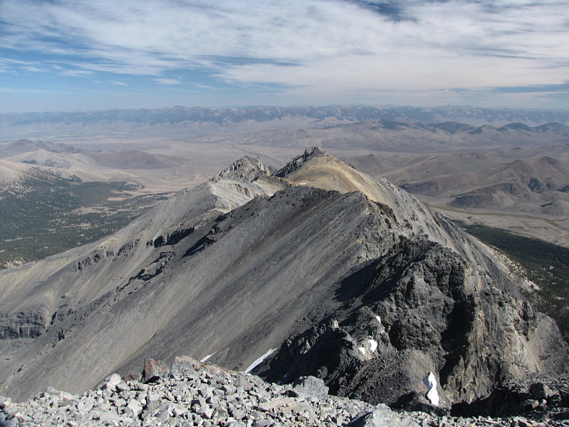
Behind Point 11898 (trail) and Chickenout Ridge to the south is Peak 11367 which is unofficially known as Mount Morrison. The Pioneer Mountains are visible on the horizon at center. |
 |
Sonny holds up a denim flag that was rolled up in a large canister that was left on the summit. |
 |
This is looking back at the summit block from the saddle. |
 |
To the east is unofficially named Mount Corruption (3614 metres). |
 |
Sonny hikes back along the trail. |
 |
This is another look at the route in the afternoon light. Chickenout Ridge is right of center, and the summit is at far left. |
 |
Here is one last look at Borah Peak from the highway. |