 |
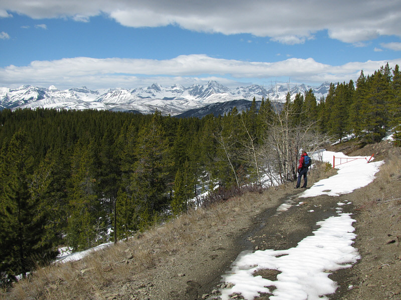
Kelly takes some photos of the trees. Carbondale Hill is visible at
upper left. |
 |
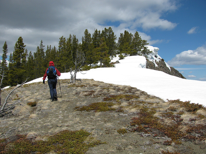
After some miserable post-holing, Kelly regains the fire road. |
 |
There are some interesting cornices along the ridge. |
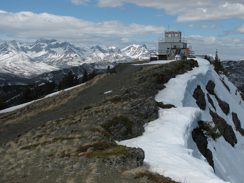 |
Carbondale Lookout sits atop Carbondale Hill. |
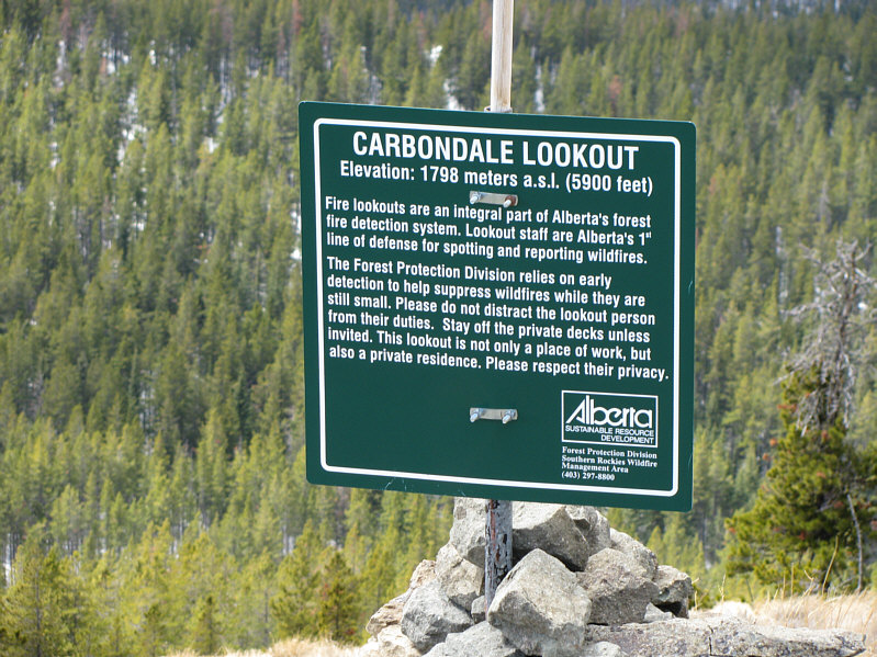 |
Here is the welcome sign for the lookout. |
 |
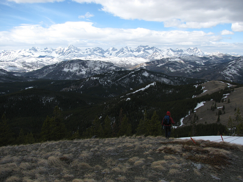
To the southeast is Table Mountain. |
 |
Barnaby Ridge and Southfork Mountain (right) are to the south. |
 |
Mount Haig looms over Gravenstafel Ridge (right) and Castle Mountain
Resort. |
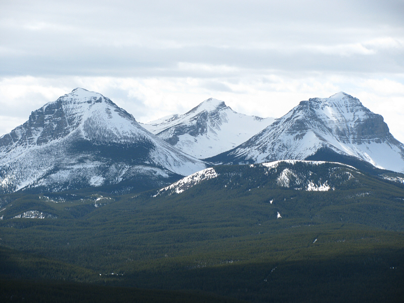 |
The three peaks of Syncline Mountain
dominate the view to the southwest. |
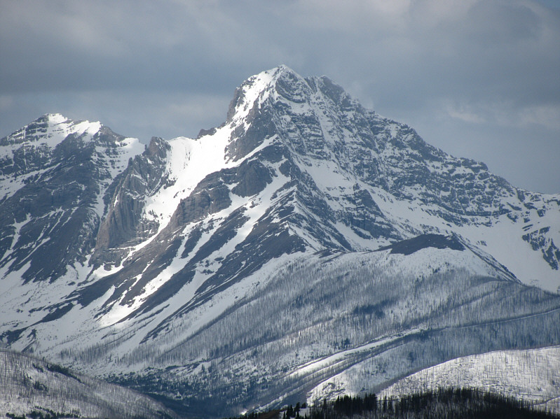 |
West of the lookout is spectacular Mount Darrah. |
 |
Centre Peak stands out to the north. |
 |
Kelly unsuccessfully tries to find a
way down the north side of the lookout. |
 |
Kelly checks out the helipad which appears to be what is left of an
earlier lookout building. |