


After spending over an hour on the summit, I retraced my steps back down the ledge. When the ledge petered out, I decided to drop down the east side of the ridge into the hanging valley below. This entailed some route-finding and some difficult down-climbing, but it was worth it to avoid revisiting all the ups and downs on the south ridge. A bushy but otherwise uneventful hike out Ranger Creek had me back at my car after a round-trip time of 12 hours.
|
|
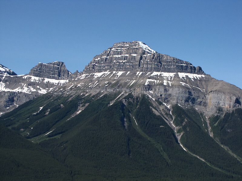
This is Pilot Mountain as seen from near the start of the south ridge of Mount Ishbel. |
|
|
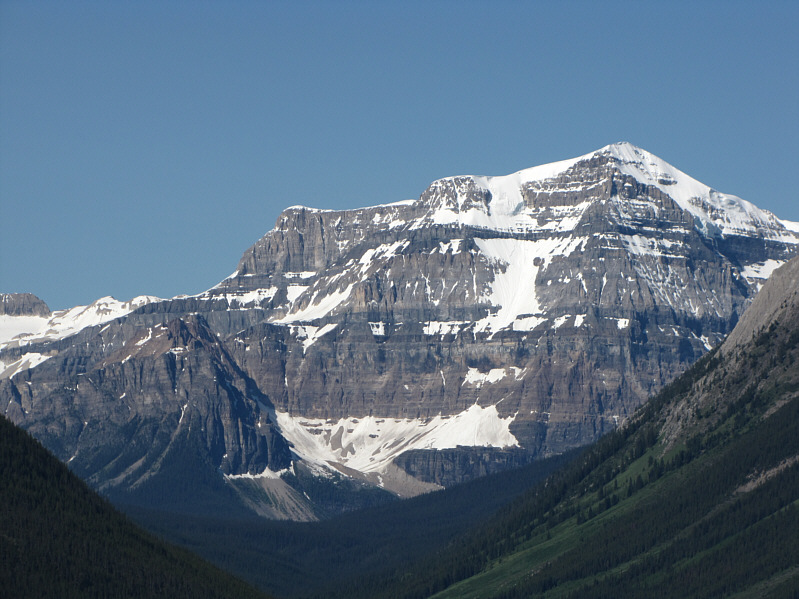
Mount Ball looks resplendent in the morning sunlight. |
|
|
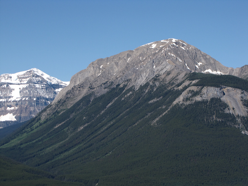
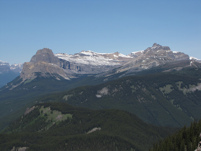
Copper Mountain is not quite as snowy as Mount Ball (far left). |
|
|
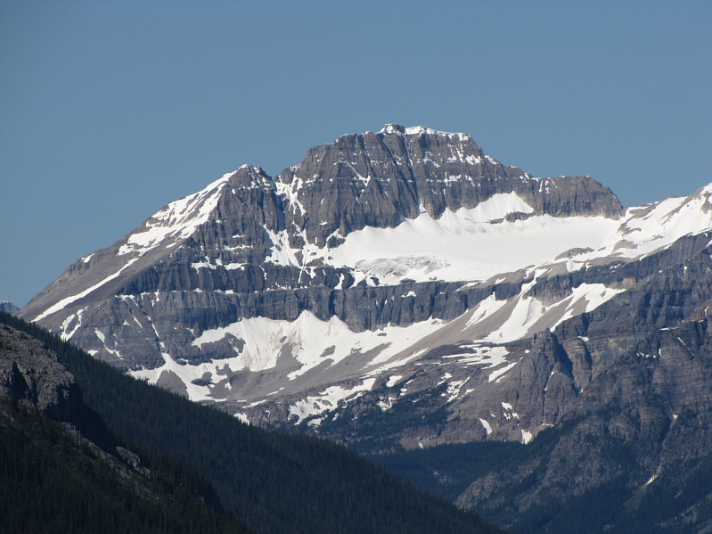
Isabelle Peak also looks resplendent in the morning sunlight. |
|
|
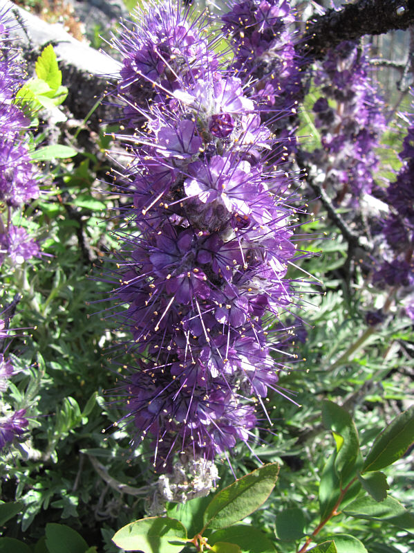
Silky scorpion weed are in abundance on the ridge. |
|
|
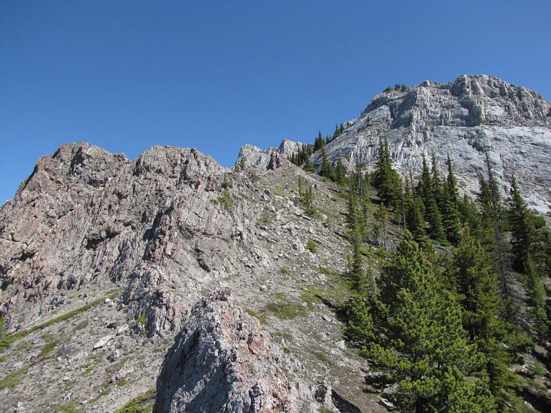
Near tree line, the first significant obstacle is the rock wall at right. |
|
|
Visible to the northwest are Castle Mountain, Stuart Knob and Helena Ridge. |
|
|
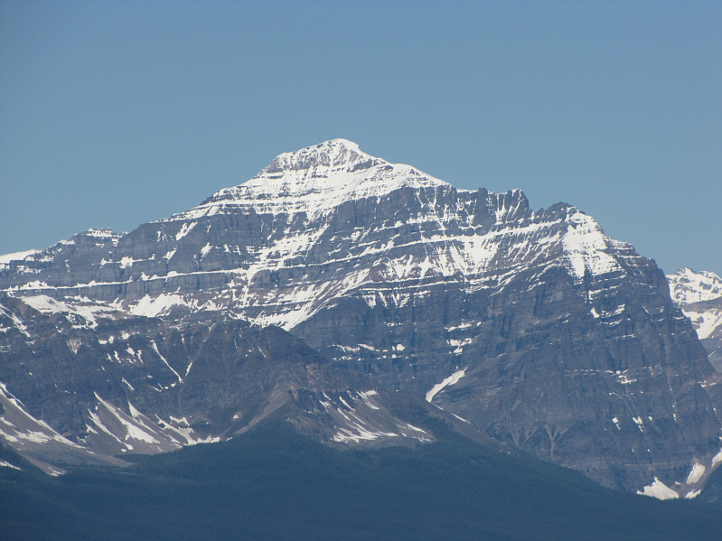
Also visible to the northwest is Mount Temple. |
|
|
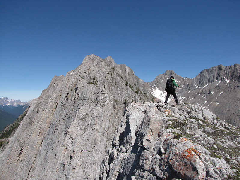
Sonny gets his first glimpse of Mount Ishbel's summit (just left of centre) from the ridge. |
|
|
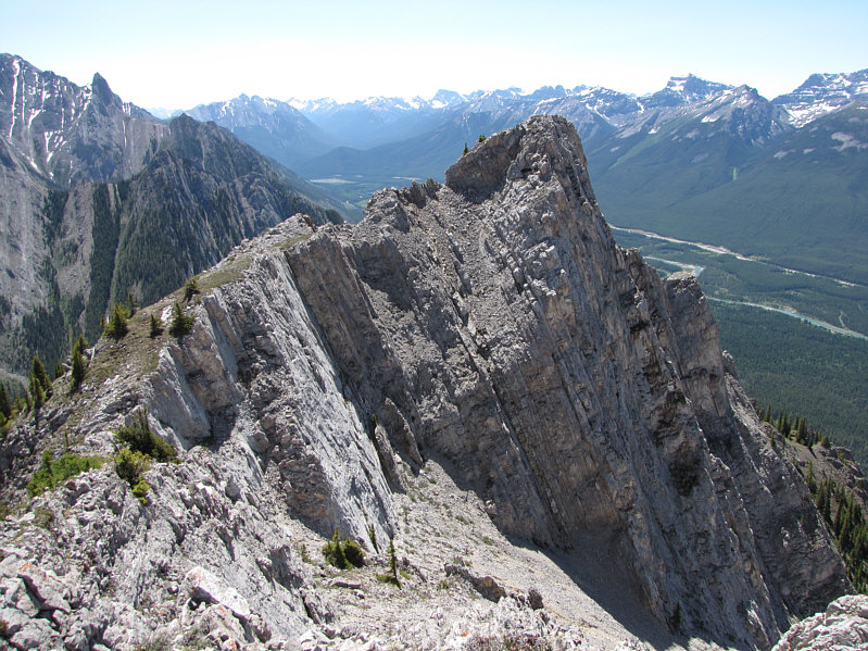
This is looking south at the part of the ridge which Sonny bypassed. The amphitheatre described by Lee is at bottom right. |
|
|
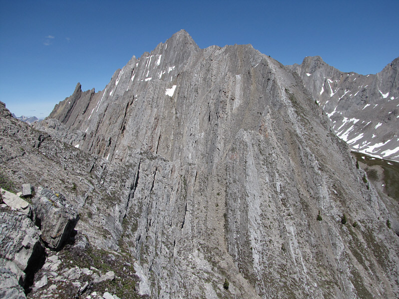
The summit is more distinctive in this view. |
|
|
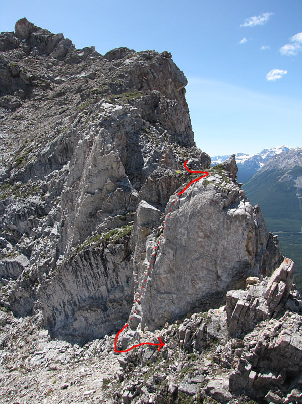
This is the crux as seen from just a bit further north along the ridge. Sonny's route around the crux is shown. |
|
|
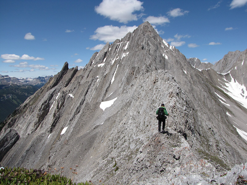
Sonny continues his trek toward the summit. |
|
|
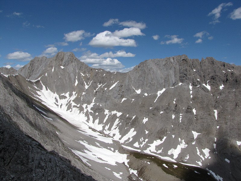
This is an unnamed ridge to the east of Mount Ishbel. The valley below is the usual exit route for climbers who descend the east ridge. |
|
|
Sonny scrambles up the easy ledge near the summit. |
|
|
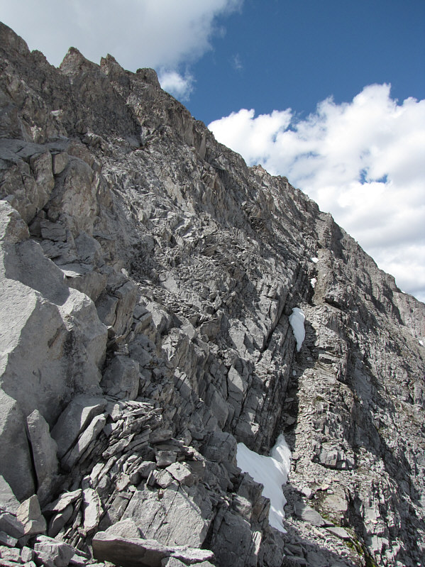
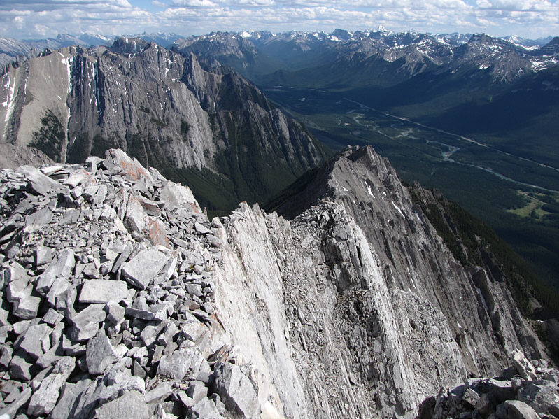
Here is a more extensive view of the ledge running along the east side of the ridge. |
|
|
Sonny stands on the 2870-metre summit of Mount Ishbel. |
|
|
Sonny takes a well-deserved break on the summit. |
|
|
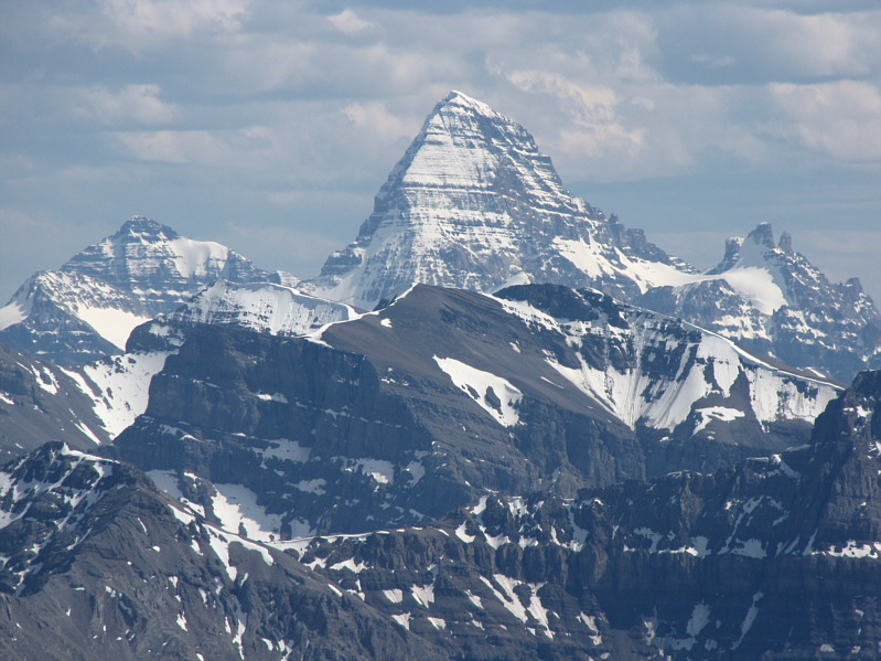
The most prominent peak to the south is Mount Assiniboine. |
|
|
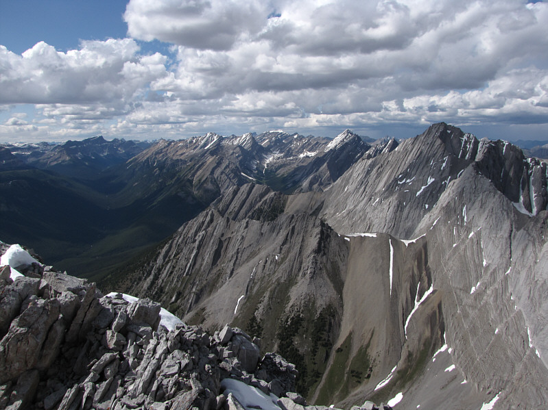
The Sawback Range dominates the view to the north. |
|
|
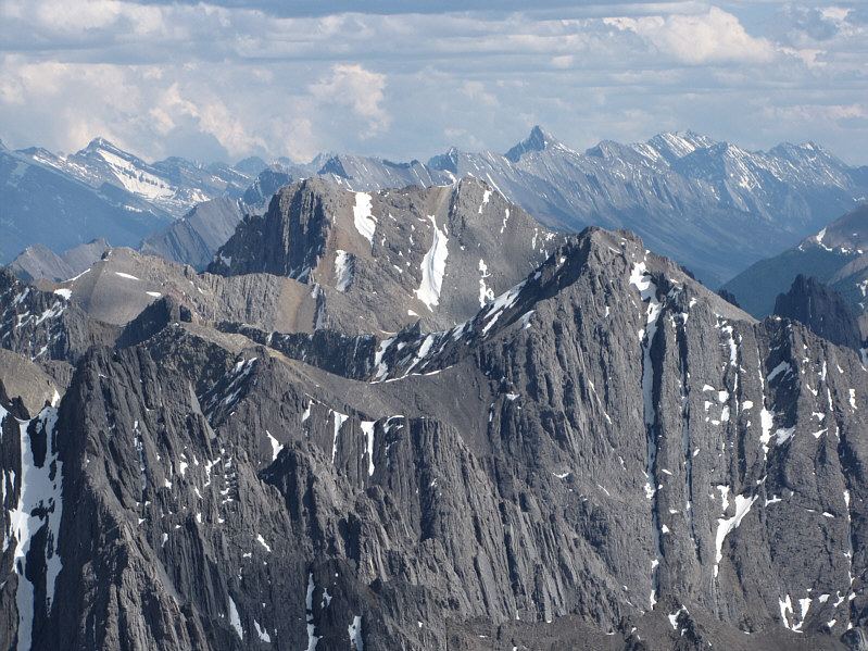
Also visible to the south are Mount Cory (at centre), Mount Bogart (snowy peak at upper left) and Old Goat Mountain (pointy peak on horizon). |
|
|
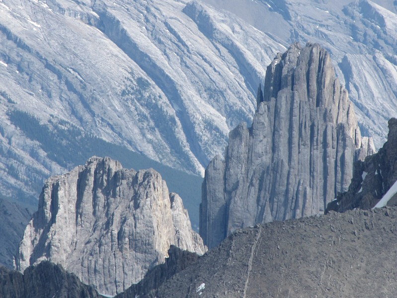
Mount Fifi (left) and Mount Louis can be seen to the southeast. |
|
|
This is looking down Mount Ishbel's south ridge from the summit. |
|
|
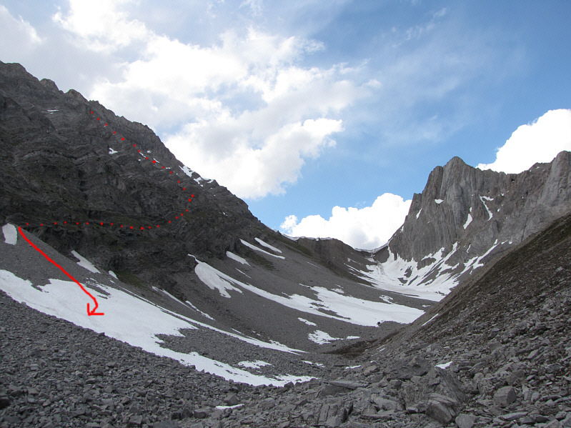
This is the view of Mount Ishbel (left) from the hanging valley. Sonny's approximate descent route is shown. |
|
|
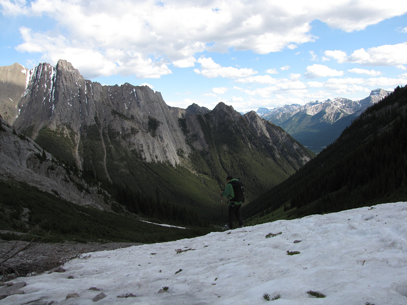
Sonny takes advantage of some snow patches to descend toward Ranger Creek. |
|
|
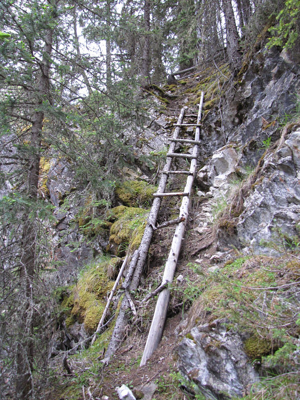
This is the infamous Ranger Creek ladder. |
|
|
Here is a last look at Mount Ishbel from Hillsdale Meadows late in the day. |