BOU AVENUE
Isola Peak
On 23 May 2009, Kelly Bou and I hooked up with Dinah Kruze and Bob Spirko to ascend Isola Peak in the Livingstone area of southwest Alberta.  After an initial ford of Livingstone River, we followed a logging road alongside Isolation Creek for about 3.5 kilometres before heading up through the trees along the southeast ridge of Isola Peak.  We encountered deep snow in the trees further up, but Bob was indefatigable in breaking trail for the rest of us (thanks, Bob).  The snow was not as deep once we began breaking out of the trees, and the final open slope to the summit was an easy walk.  Although conditions at the summit were quite pleasant, we did not hang around very long before starting our uneventful descent (round-trip time of 6.5 hours).  Dinner at Original Joe's in Okotoks, Alberta rounded out a most enjoyable outing.

Be sure to check out Bob's photos of this trip here.
Thank you Bob and Dinah for letting Kelly and me use your hip waders. Dinah and Bob ford Livingstone River.
Doesn't look like much, but a peak is a peak! Kelly and Dinah get their first clear view of Isola Peak along the road.
This is about where we left the road and headed up through the trees to the right. The exploration road is choked with snow about 3.5 kilometres from the start.
No further difficulties from here. 
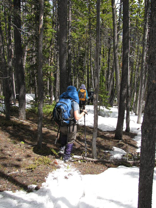
Kelly, Bob and Dinah hike up easy terrain near tree line.
The views start to open up. 
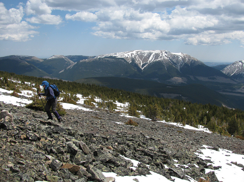
Kelly trudges up the slope with Mount Livingstone in the distance.
Actual scrambling on Isola Peak is hard to find. 
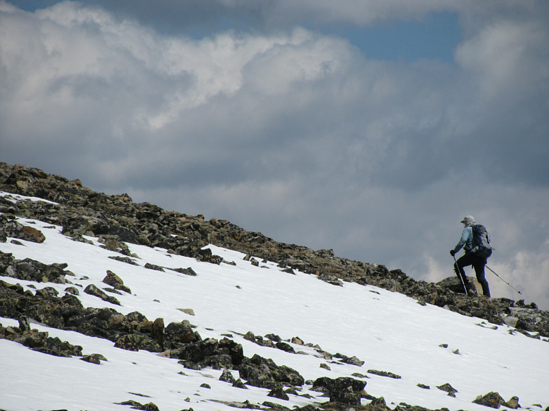
Bob makes quick work of the slope ahead of him.
A memorable bike ride and scramble for me. Tornado Mountain is visible to the south.
Thankfully, the wind is very light on this day. 
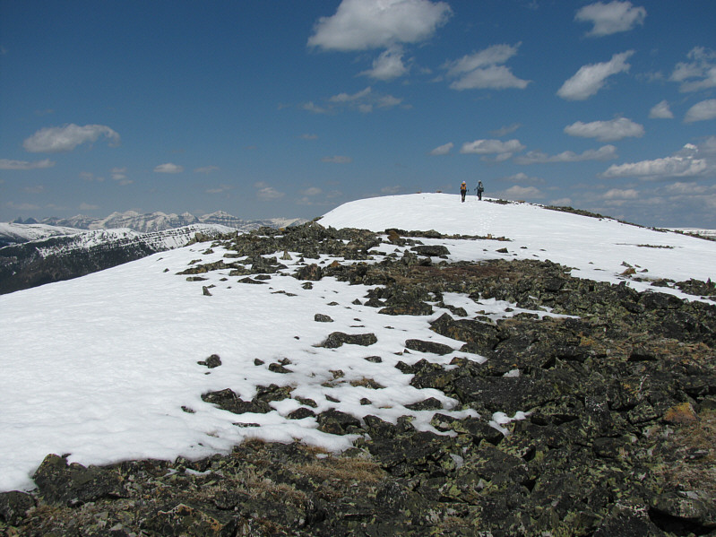
Dinah and Bob proceed up the broad south ridge.
What a nice day to be up here! 
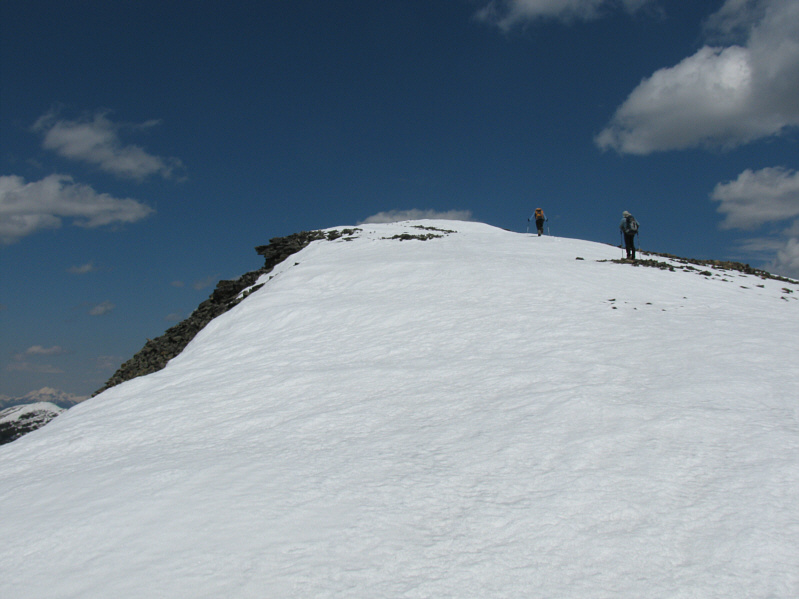
The summit is within sight.
YAY!!! Dinah and Bob reach the 2496-metre summit of Isola Peak.
Chalk another one up for us old-timers! Kelly, Dinah, Sonny and Bob pose for a group photo on the summit.
One of Linda Breton's favourite. The Elevators peek over an intervening ridge.
Sadly, a common scene outside the National and Provincial Parks. 
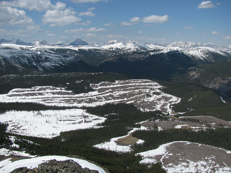
The view to the west is somewhat marred by the clear cuts.
Plateau Mountain actually looks kinda interesting from this perspective. 
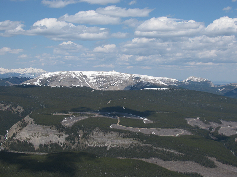
Plateau Mountain and Sentinel Peak are visible to the north.
I'd like to give Harrison a try this summer. 
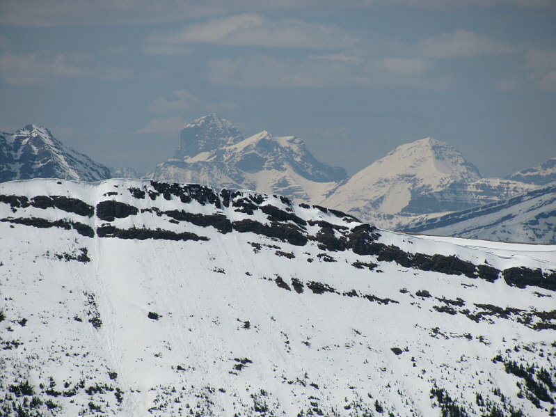
The highest peak on the horizon is Mount Harrison.
Every so often, we found evidence of a trail being cut. Kelly, Dinah and Bob descend through the trees.
Good place for an RV Park! Bob hikes across a big clearing on the way back.  Coffin Mountain is visible in the distance.