BOU AVENUE
Kindersley-Sinclair Loop
With a lousy weather forecast in the mountains on 15 August 2009, Dinah Kruze, Bob Spirko and I were looking for a worry-free hike that would not be too miserable in case of rain.  Hoping to find better weather at the south end of British Columbia's Kootenay National Park, we opted to try the Kindersley-Sinclair Loop as described in Hikes around Invermere & the Columbia River Valley by Aaron Cameron and Matt Gunn.  Getting out of the car at the Kindersley Pass trail head proved to be the crux of the trip, but by some small miracle (probably from eating Dinah's yummy peppercorn ranch potato chips), we eventually started hiking up the trail.  Though views were limited throughout our hike to Kindersley Pass, we were fortunate to see a couple of moose along the way.  Upon reaching Kindersley Summit (it is a high col rather than an actual summit), we turned to the northwest and easily scrambled up to the top of GR710178 which surprisingly had a helipad and repeater tower.  Despite its modest elevation of 2684 metres, GR710178 stands high above all the surrounding ridges (it is higher than Mount Sinclair to the southeast and nearly as high if not higher than Mount Kindersley to the northwest) and affords a fantastic unobstructed panorama (well, unobstructed except for the damn repeater tower!).  On this day, clouds obscured most of the peaks on the horizon in all directions, but what we could see was still incredible.  I can only imagine how mind-blowing the views must be on a clear day up there.  We spent about 25 minutes taking photographs before returning to Kindersley Summit.  From there, we continued southeast up the double peaks at GR720167 (2527 metres) and GR719167 (2531 metres) before returning again to Kindersley Summit and descending the steep trail down Sinclair Creek.  We got a bit of rain on the hike out, but we did not mind considering the better-than-expected weather we had for most of the day.  Near the Sinclair Creek trail head, Bob raced ahead of Dinah and me in order to retrieve Dinah's car from the Kindersley Pass trail head thus saving Dinah and me an extra kilometre or so of walking.  Thanks, Bob!  Our round-trip time was less than 8.5 hours.

Be sure to check out Bob's photos of this trip here.
It's like the Enchanted Forest except without all the cheap garden gnomes! 
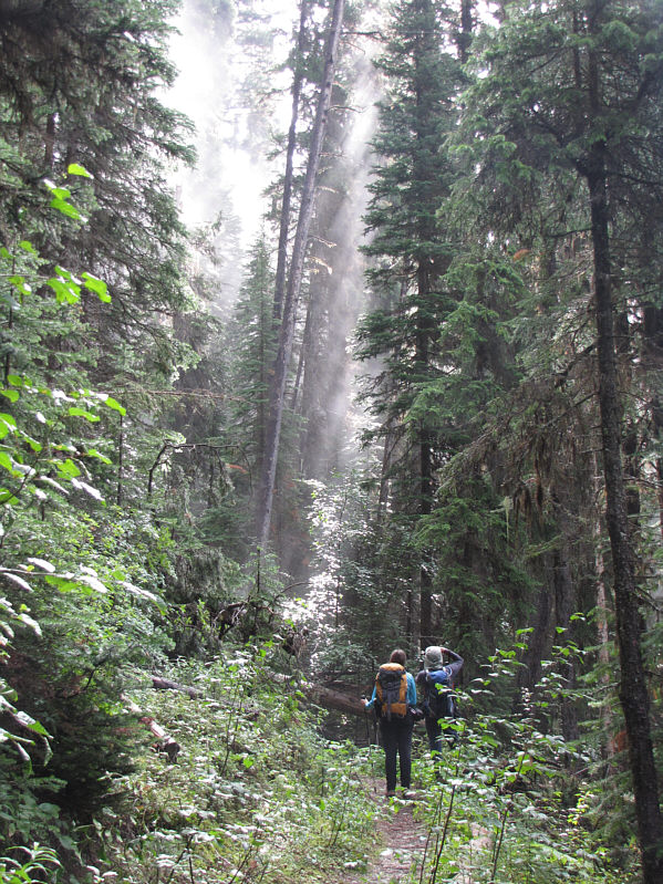
Dinah and Bob check out some mist moving through the trees.
Steve Tober called this "Mount Nixon" in one of his trip reports on the RMB WebBoard. 
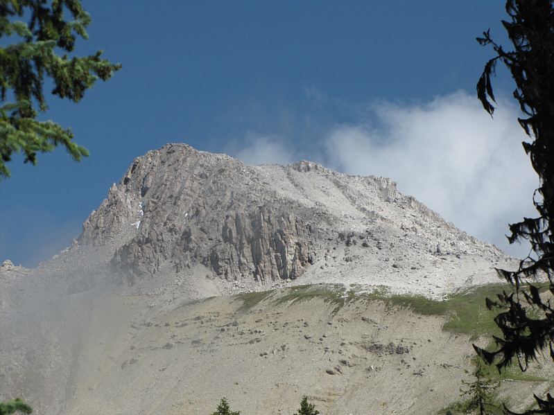
GR710178 is visible through the trees on the approach to Kindersley Pass.
One of the least interesting passes in the Canadian Rockies! 
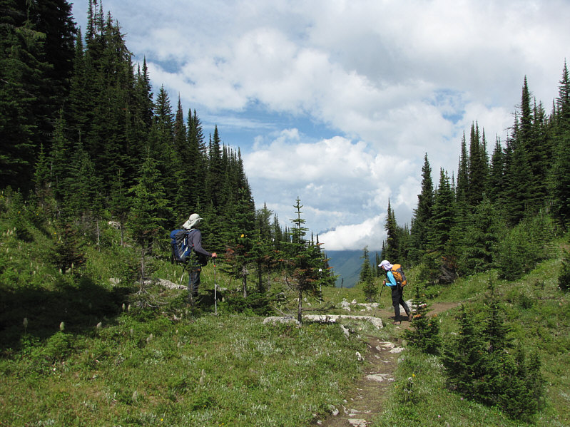
Bob and Dinah look for signs of a moose they followed up here to Kindersley Pass.
Must have been a beaurecrat and/or a cowboy that named a saddle as a "summit"! 
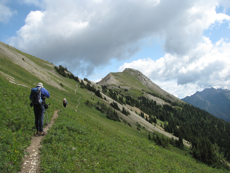
Bob and Dinah approach Kindersley Summit.  GR719167 is straight ahead.
So does this count as another summit?? Dinah and Bob reach Kindersley Summit (2385 metres).
Surprisingly, no one else followed us up there on this day. 
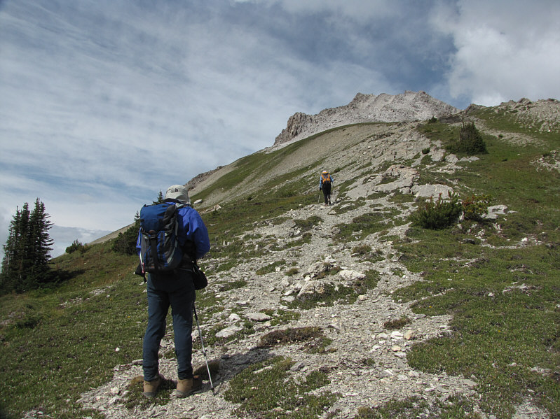
Bob and Dinah head northwest toward GR710178.
It's possible to stand on top of this pinnacle. 
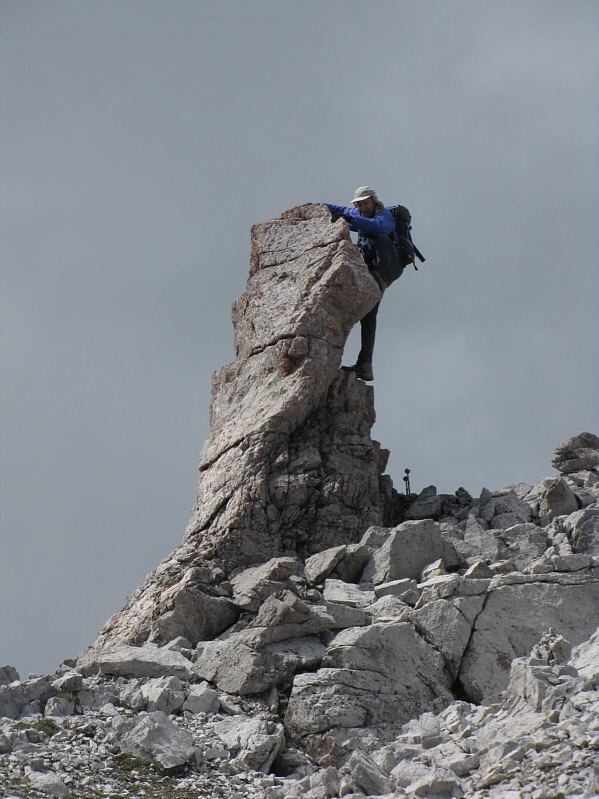
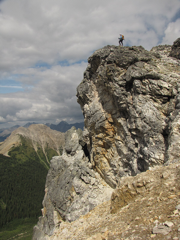
Bob horses around on a pinnacle.
The pinnacle was more fun, I think! 
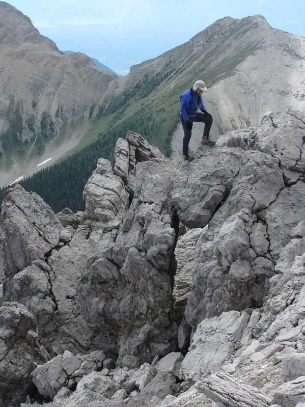
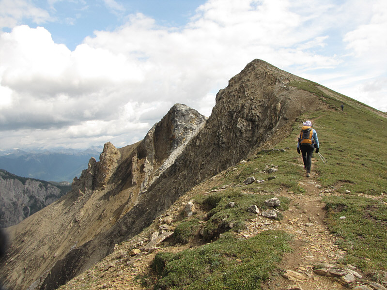
Bob walks over a window along the ridge.
It's about a 300-metre ascent from Kindersley Summit. 
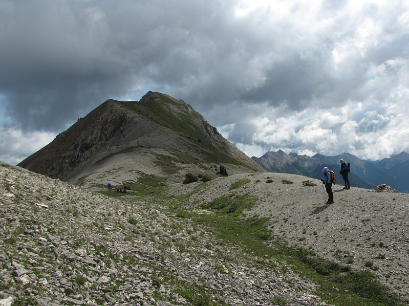
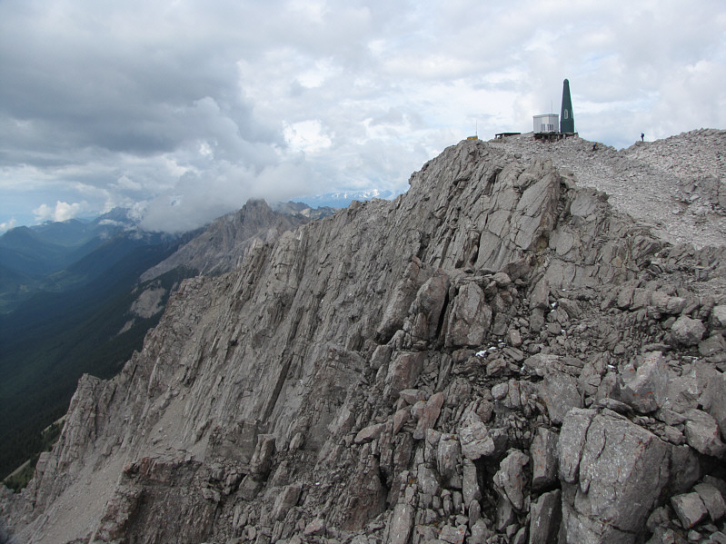
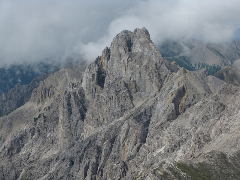
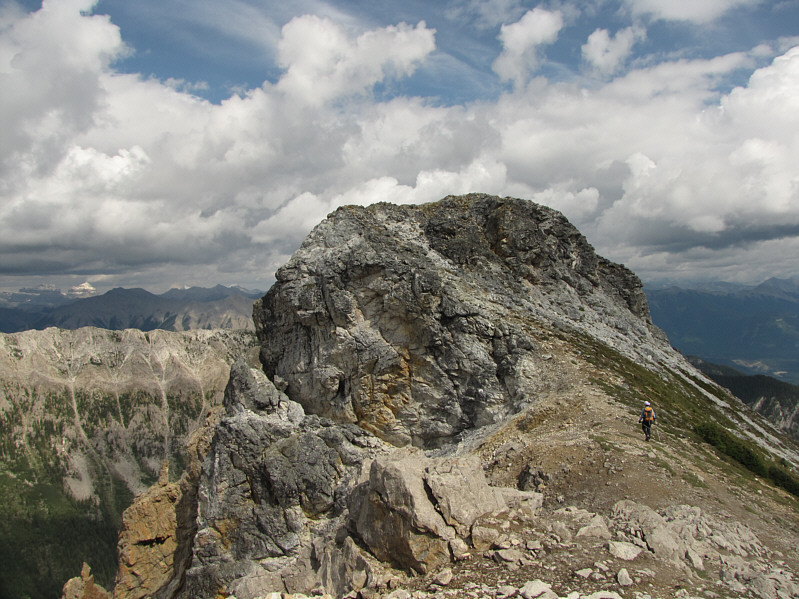
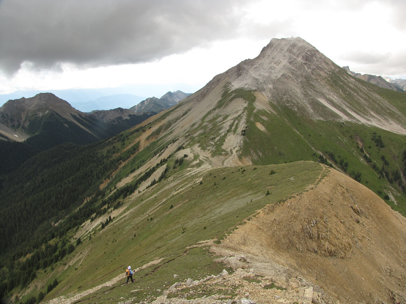
The summit of GR710178 is in sight.
Dinah kept referring to the repeater tower as the "penis"! 
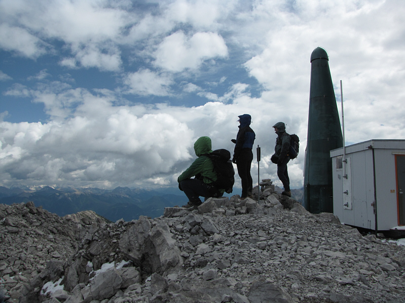
Sonny, Dinah and Bob admire the views from the summit cairn.
It's fun to stay at the Y-M-C-A! 
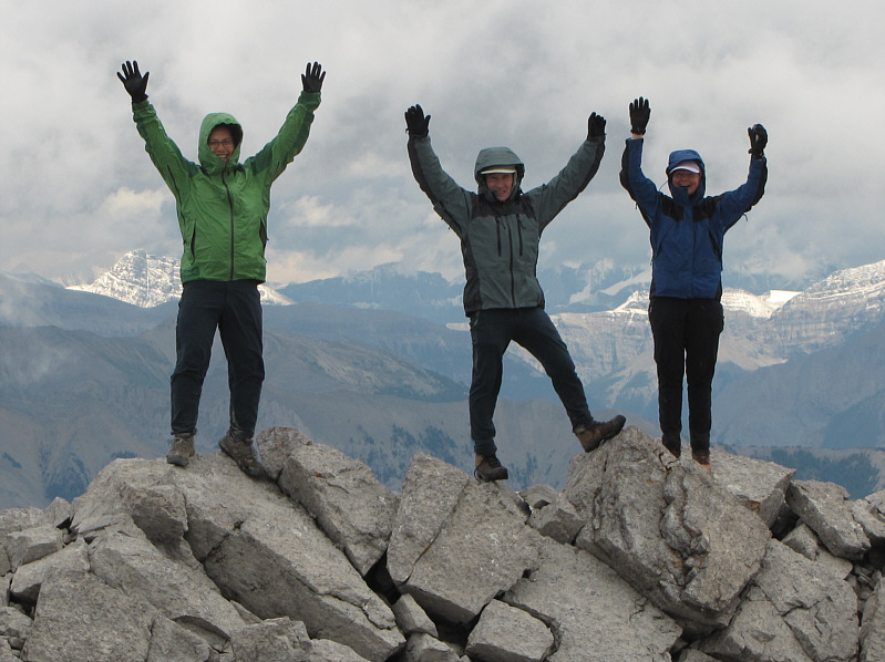
Sonny, Bob and Dinah practice surrendering near the summit.
Looks like a nice ridgewalk until you get close to the summit. 
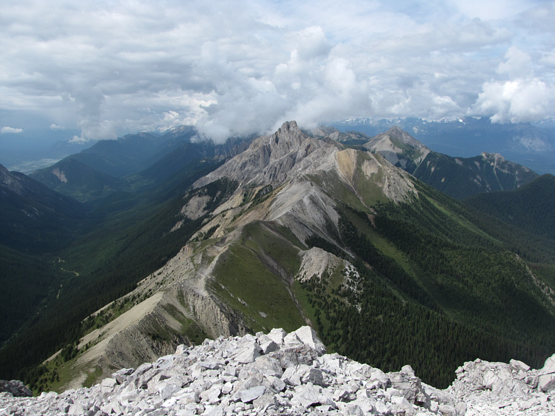
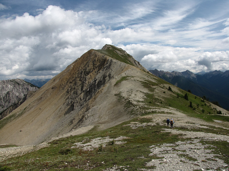
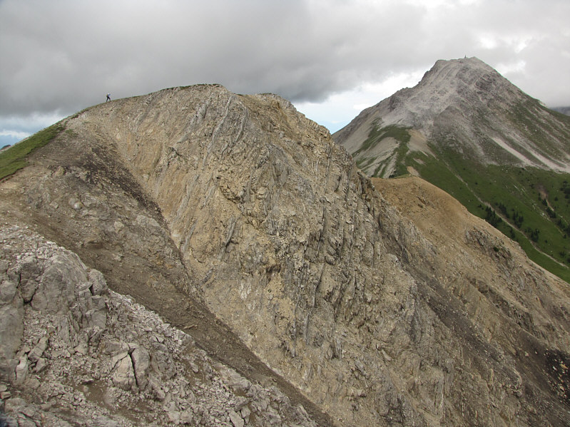
Mount Kindersley is about 3.7 kilometres further along the ridge to the northwest.
Doesn't look like an easy mountain to get up... 
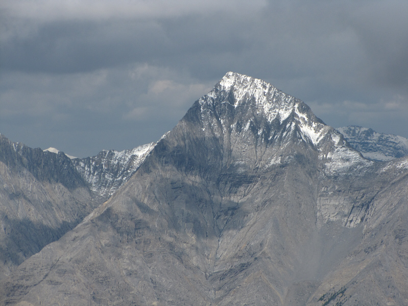
Here is a close-up of Mount Kindersley.
Might be worth exploring... Mount Harkin is one of the more striking peaks to the northeast.
These peaks are probably difficult to access because of the Vermilion River. 
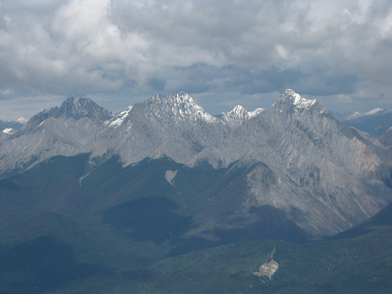
Also to the northeast are (L to R) Split Peak, unnamed and Mount Selkirk.
I might scramble up this one later in the year. Mount Berland barely peeks above the intervening ridge to the southwest.
The best-looking peak on the horizon that wasn't obscured by clouds! 
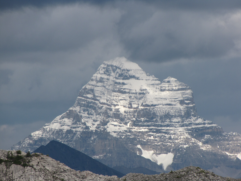
Mount Ball still looks impressive almost 50 kilometres away.
It's only about a 150-metre climb to the top. Bob and Dinah head toward GR719167.
Looks like scrambling season is over on those peaks! 
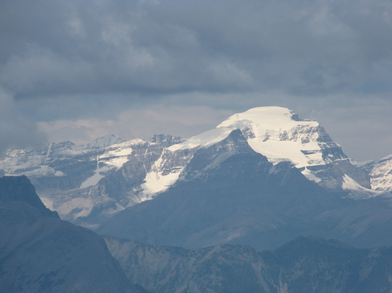
Mount Assiniboine and Lunette Peak are plastered with snow to the east.
The saddle gets a name with "summit"; and yet, these two GR's remain unnamed? WTF?? Slightly lower GR720167 is visible to the left of GR719167.
Dinah and I tagged this one first since Bob was busy shooting panorama photos on the other peak. GR720167 is the more interesting of the two peaks southeast of Kindersley Summit.
Can you move a little over to your right, Dinah? Dinah stands above some impressive cliffs on GR720167.
Must be a lot of bushwhacking to get up Lookout Point... Southeast from the summit of GR720167, Mount Sinclair is right of centre in the distance.  The forested knob in the foreground is known as Lookout Point.
Fourth summit of the day?? Dinah hikes back to tag the summit of GR719167.  GR710178 is visible at far right.
Time to start thinking about dinner! Dinah and Bob (further along the trail) head back to Kindersley Summit.
It started to rain here... 
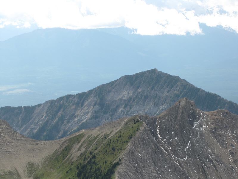
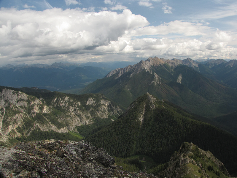
Mount Sinclair forms the backdrop to Sinclair Creek valley.
A much more interesting and satisfying day of hiking than expected! 
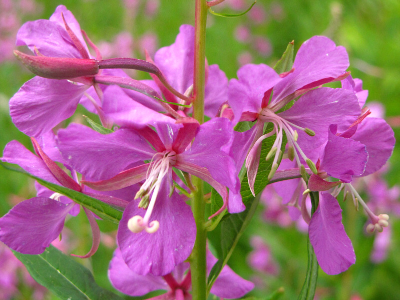
Here is a close-up of some fireweed.