
Checking into a fairly inexpensive but spacious suite for the weekend at nearby Panorama Mountain Resort, I had a good night's rest before getting off to an early start on the morning of 11 July 2009. It was a treat to drive such a short distance to the signed trail head which is just past a very shallow washout on the Delphine Creek forestry service road (okay for 2WD vehicles). Right off the bat, I quickly understood what C&G meant when they refer to the initial ascent as "one of the most inhumane climbs" that they had ever done. I gained nearly 650 metres during the first hour and a half on a brutally steep trail, and when I crested the first ridge, it was sobering to realize that this was only a warm-up for the nearly 1400 metres of elevation gain I had left to reach Mount Nelson's summit. Thankfully, the grade eases a bit after the first ridge, and I soon emerged from the trees and entered a long basin leading to Mount Nelson's southwest face. Getting to the foot of this face took me another three hours, and I hardly noticed gaining another 700 metres of elevation along the way. There was still snow in the steep "leftmost gully" as described by C&G, but being too lazy to pull out my crampons, I opted to scramble up "the moderate rock shelves just to the right". At one point, I had to hug the edge of the snow gully to get by a short buttress, but soon after, I settled into a steady grind up a long talus slope. At the base of the summit block, I traversed over to the southeast ridge to get a look at where V&C had surmounted the final cliff band. The exposure there--a huge drop down the east side of the mountain--was unnerving to say the least. To the left of the southeast ridge, the "second gully' that C&G recommend ascending still had a steep patch of icy snow beneath it, and although the route did not look too bad, I understood why V&C had decided to avoid it. Interestingly, the first gully to the left, though steep, was dry and looked reasonable to climb, and this is where I went up. Shortly after, I was standing beside the famous aluminum cross on the summit. While the views of the surrounding sea of peaks were somewhat marred by clouds and haze, the absence of any wind made my hour-long summit stay quite pleasant.
On descent, I took the "second gully" down which turned out to be not so bad except for the snow patch at the bottom. I managed to skirt around this with some difficulty before continuing down mostly loose scree and rubble. Getting through the rock bands further down the southwest face involved some route-finding and down-climbing some mildly exposed terrain, but otherwise, I had no serious problems descending to the basin. The hike out was uneventful, but the final "inhumane" section seemed just as miserable going down as going up. My round-trip time was 13 hours, and it was nice for a change to drive only a short distance back to the resort for a hot shower, a delicious dinner, and a comfortable bed.
|
|
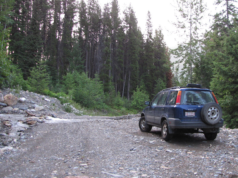
This is the wash-out along Delphine Creek road right by the trail head. |
|
|
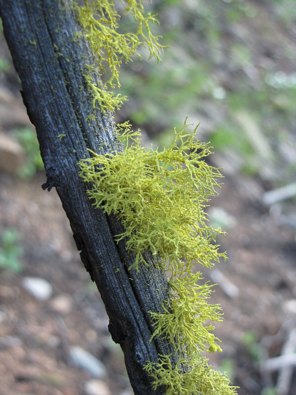
Tree moss is about the most interesting thing to look at during the initial 650-metre grunt up the first ridge. |
|
|
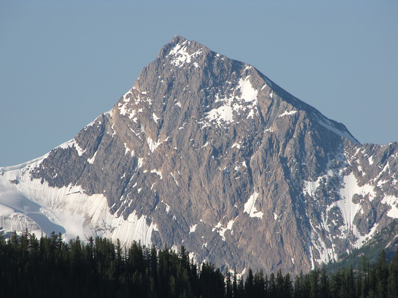
One of the first good views of the day is that of Coppercrown Mountain to the south. |
|
|
Sonny begins hiking to the back of the basin. Mount Nelson is visible just right of centre. |
|
|
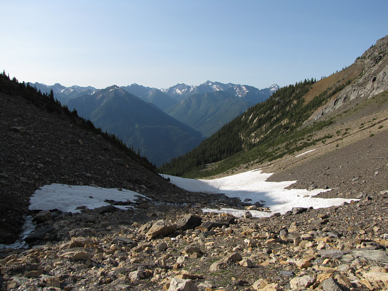
This is looking back at the mouth of the basin. The trail emerges from the trees in the light green patch at centre. |
|
|
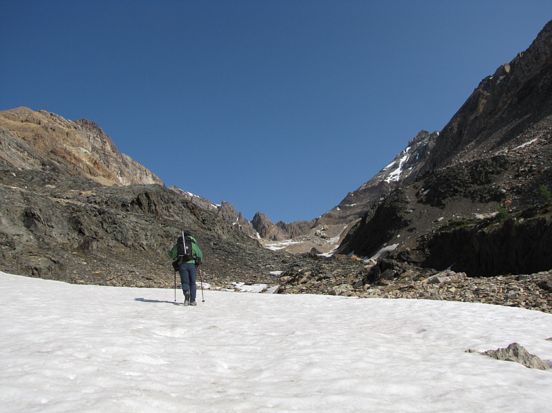
Sonny hikes further into the basin. |
|
|
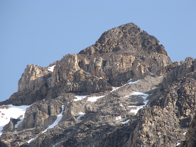
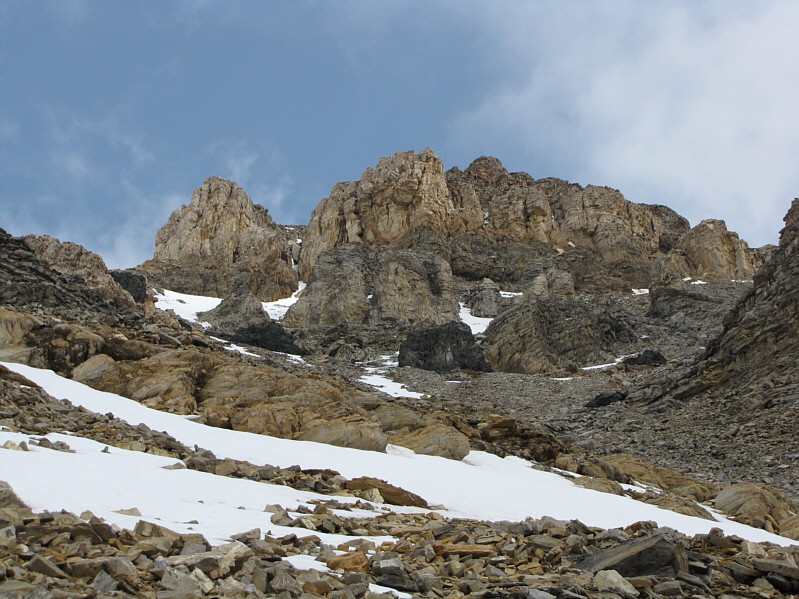
Here is a closer look at Mount Nelson's summit block. |
|
|
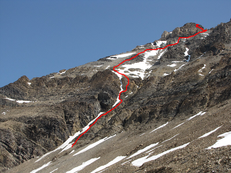
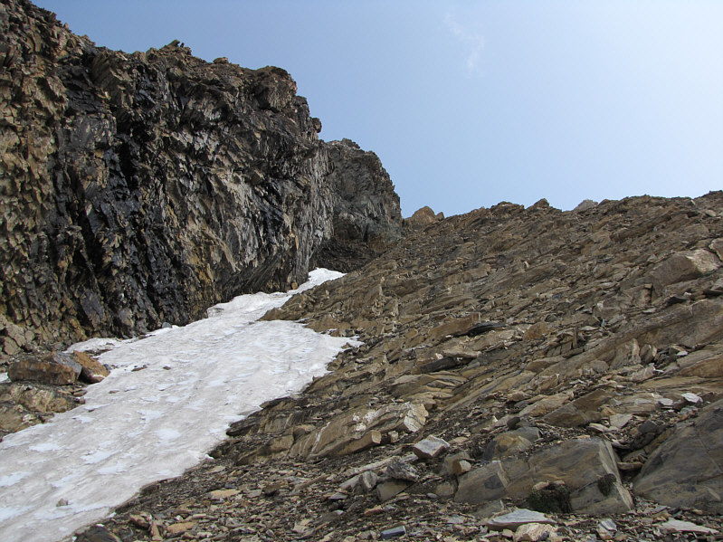
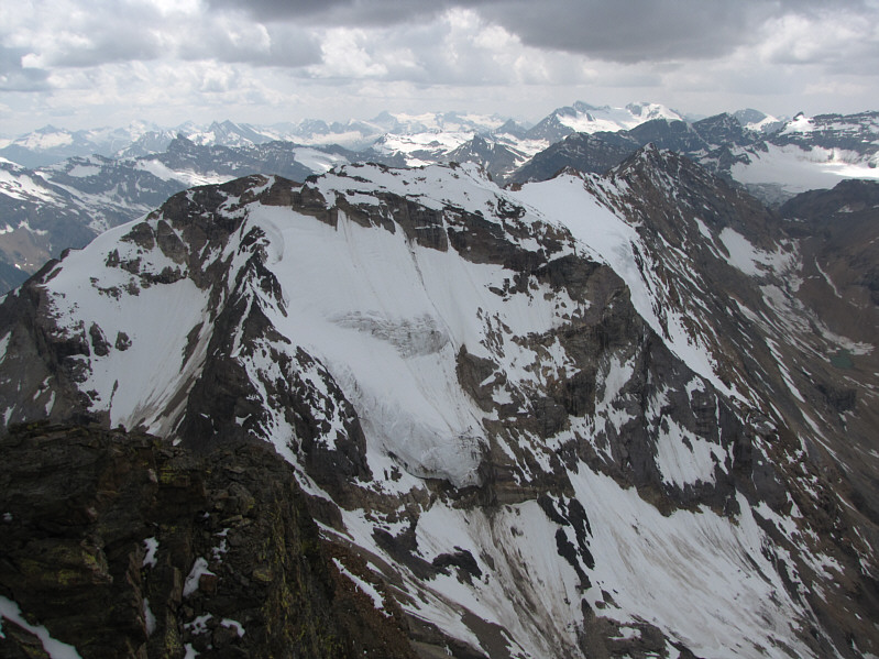
This is the southwest face of Mount Nelson. C&G's "leftmost gully" is the one with snow in it at far left. |
|
|
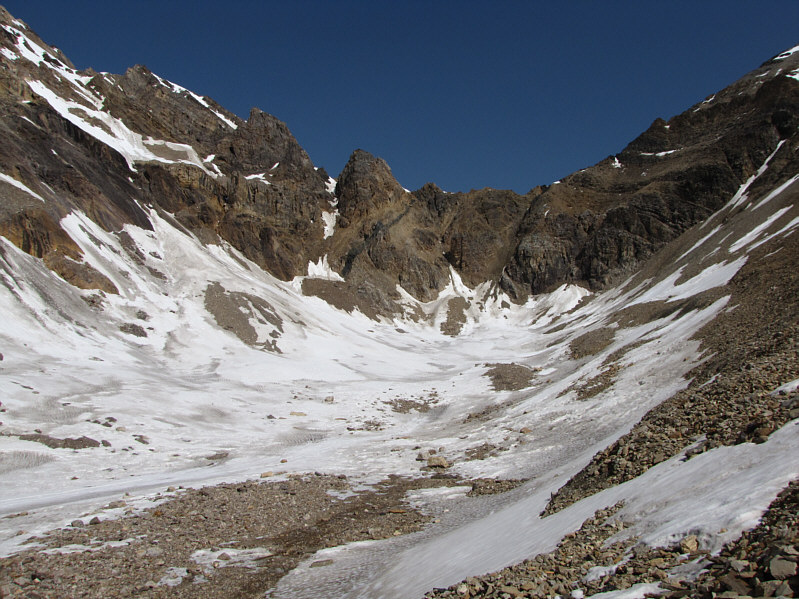
The back of the upper basin is plastered with snow. |
|
|
Sonny's approximate ascent route up the southwest face is shown. |
|
|
Here is the front end of the upper basin which includes a couple of small tarns. |
|
|
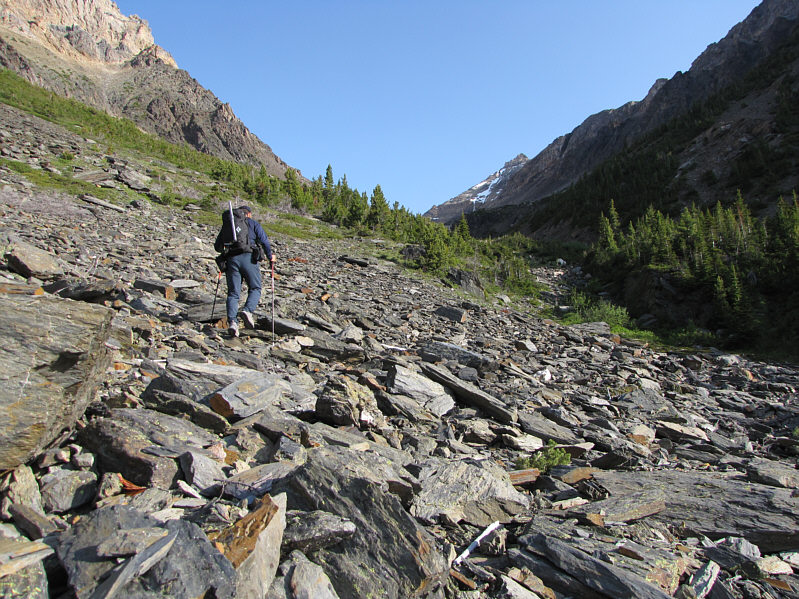
Sonny slogs his way up to the foot of the southwest face. |
|
|
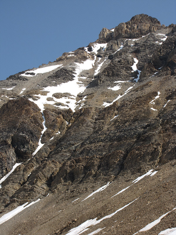
This is looking up the "moderate rock shelves" beside the "leftmost gully". |
|
|
This is a foreshortened view of the upper half of the southwest face. The proper ascent route ultimately heads to the far right. |
|
|
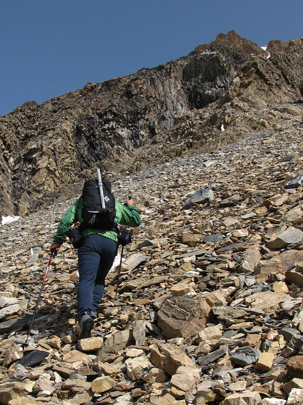
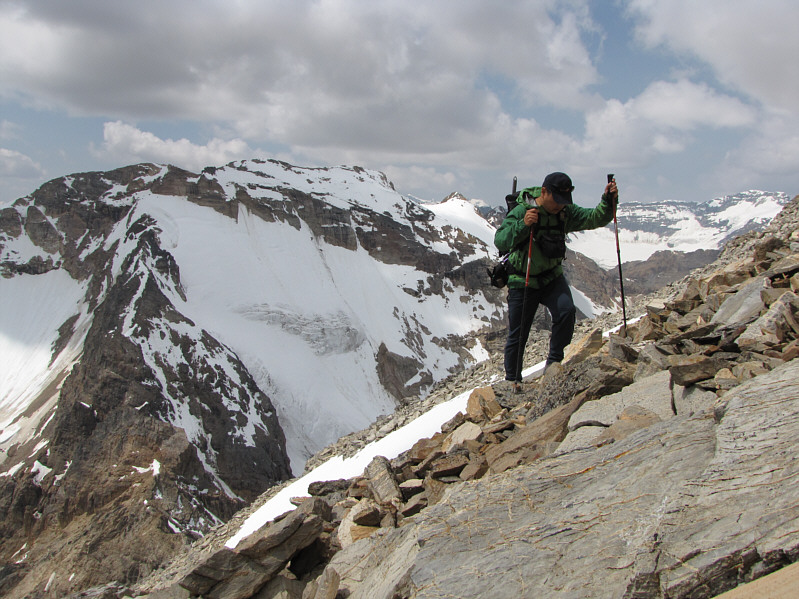
Sonny checks his footing on the talus slope. Glaciated Sultana Peak is visible behind him. |
|
|
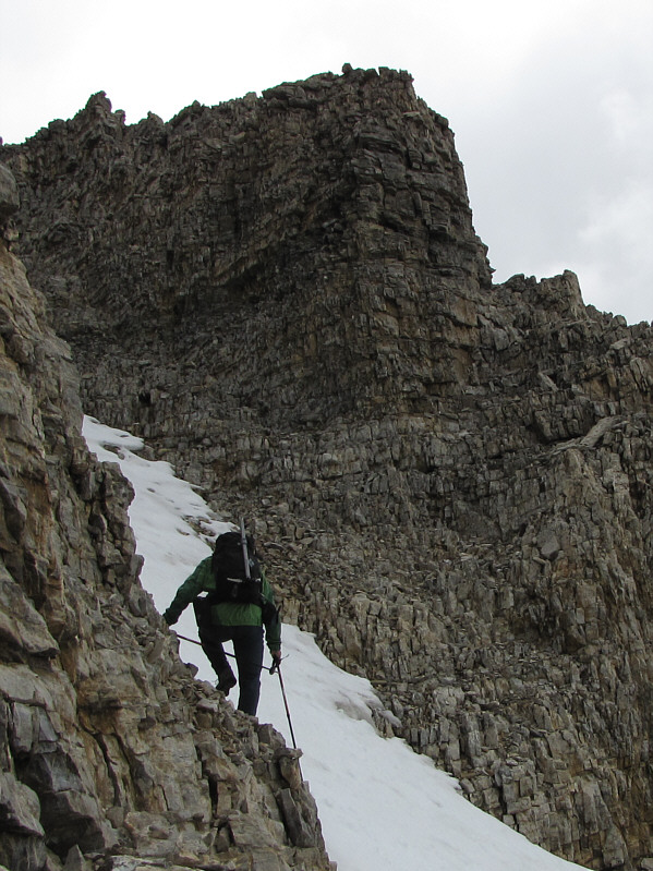
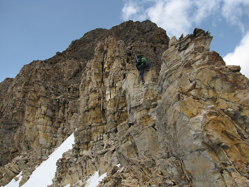
The scrambling gets really interesting near the summit block. |
|
|
Sonny checks out V&C's exposed crux on the southeast ridge. Although not visible in this photo, the exposure to the right of the ridge is extreme. |
|
|
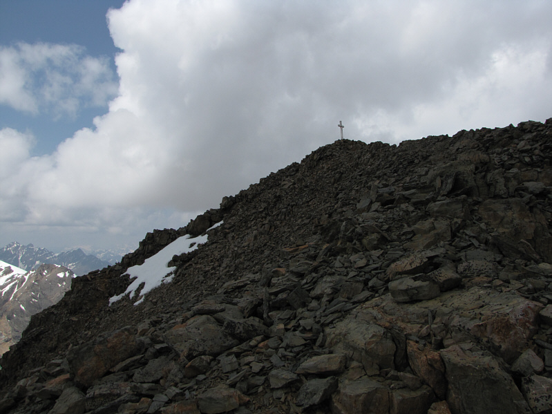
The Kloos family's aluminum cross is within sight. |
|
|
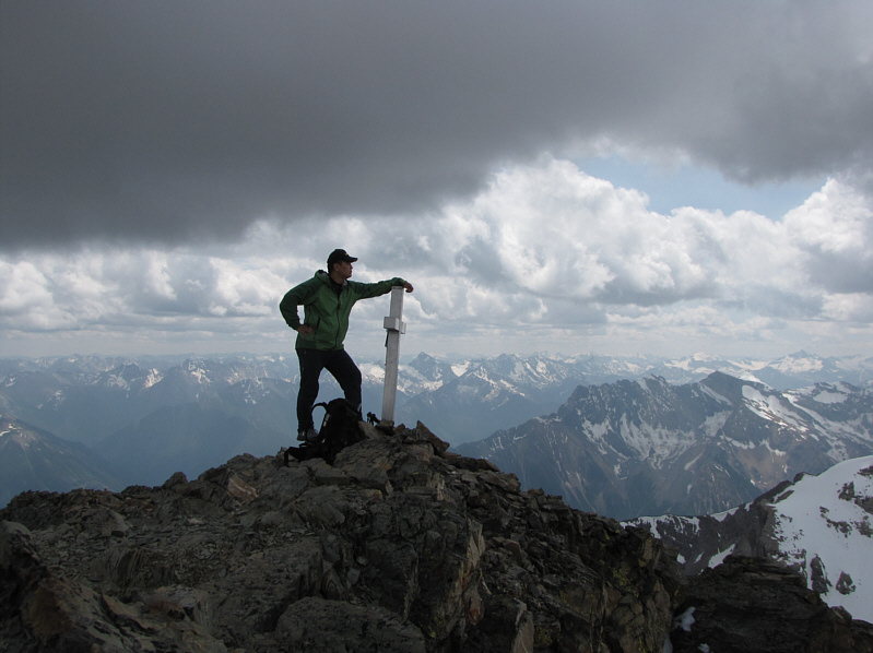
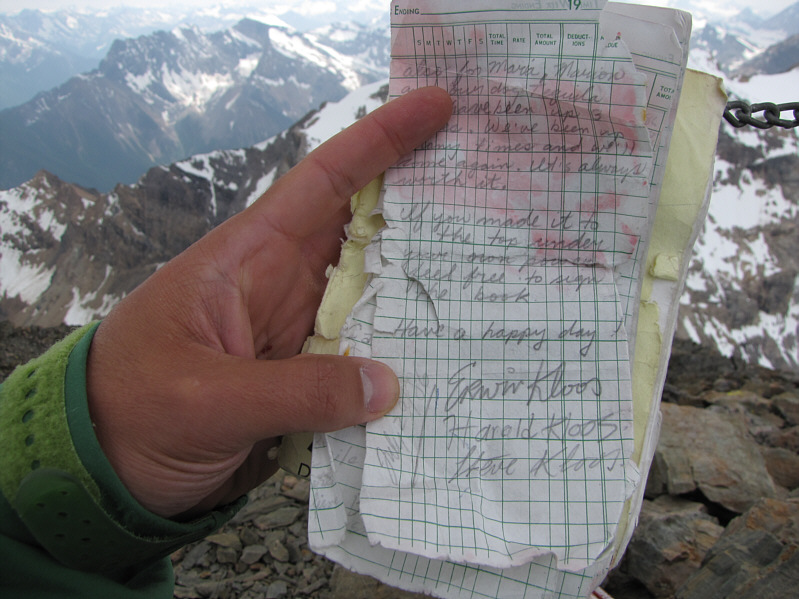
Here is a closer look at the cross. The summit register is housed inside the flap. |
|
|
Sonny watches with dismay as clouds roll overhead. |
|
|
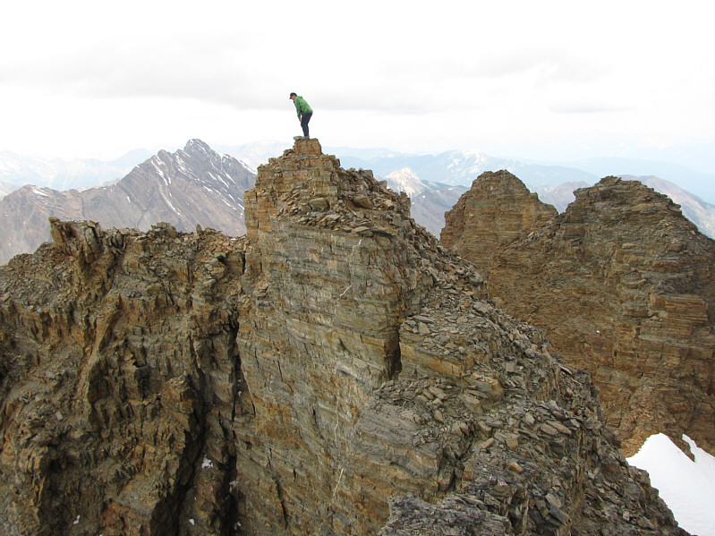
Sonny takes a peek over the edge of an adjacent pinnacle. |
|
|
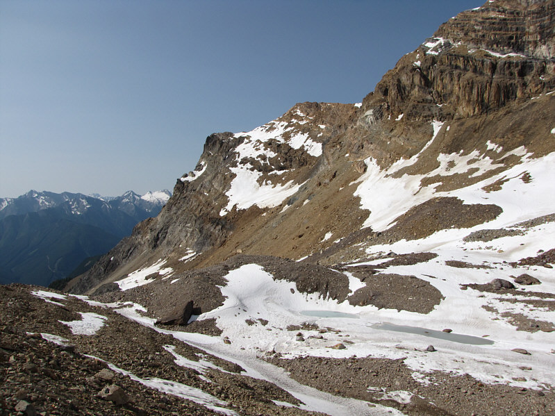
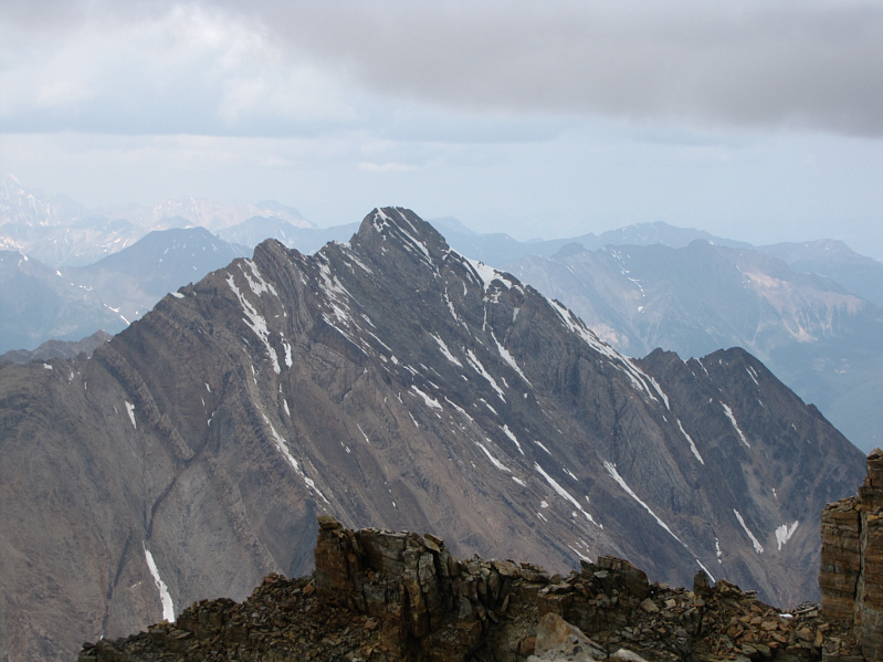
Immediately to the west is Sultana Peak, another scramble described in C&G's guidebook. |
|
|
To the north is Mount Slade. |
|
|
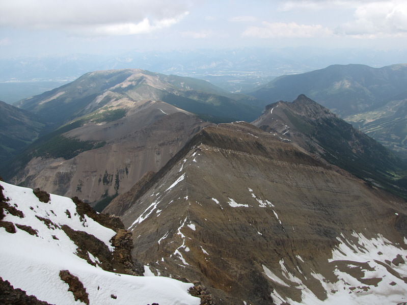
The view to the east includes Mount Bruce (distant left), the town of Invermere (distant right), and Panorama Mountain Resort (far right). |
|
|
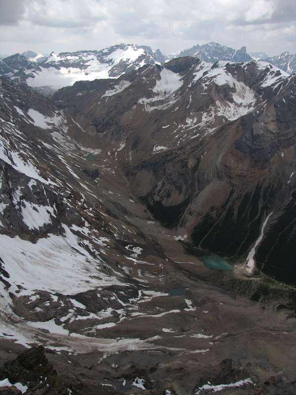
This is looking up the headwaters of Bruce Creek. Visible on the horizon are Spearhead Peak, Delphine Glacier, Mount Delphine, Mount Farnham and Farnham Tower. |
|
|
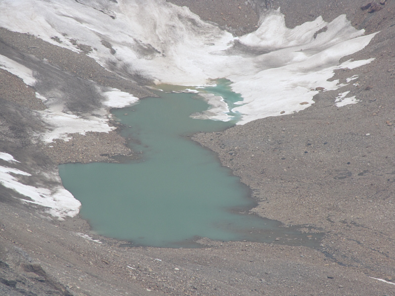
Here is a zoomed in view of the tarn at the head of the Bruce Creek valley. |
|
|
The register that originally accompanied the cross up the mountain is still there. |
|
|
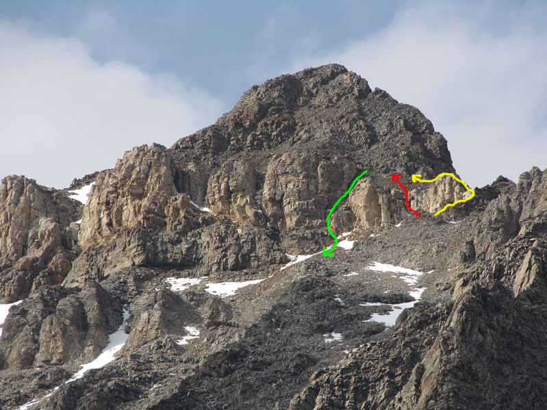
Here is another look at the summit block from the basin. The yellow line shows V&C's ascent route. The red line shows Sonny's ascent route. The green line shows Sonny's descent route which is also C&G's recommended ascent route. |
|
|
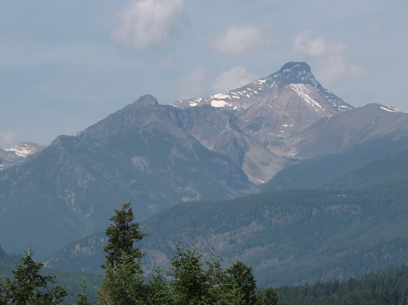
This is Mount Nelson as seen on the following day from the highway between Invermere and Panorama Mountain Resort. |