BOU AVENUE
Piggy Plus

My original plan on 27 July 2009 was to head to Waterton National Park to traverse Mount Anderson, Lost Mountain and Mount Bauerman, but after my recent trip to Diana Lake, I was not in the mood for another long drive from Calgary, Alberta.  I decided that Mount Lougheed would be a comparable day in the hills but with a much shorter drive.  When I drove out to Kananaskis Country that morning though, the weather was not very cooperative as all the peaks of Mount Lougheed were socked in by clouds.  I definitely wanted to save Mount Lougheed for a clear day, and consequently, I flipped through Andrew Nugara's More Scrambles in the Canadian Rockies guidebook to find an alternate trip.  Eventually I settled on the oddly named Piggy Plus; its difficult rating and short round-trip time made it an attractive choice.  Following Nugara's directions, I hiked along the trail to Burstall Pass and left the trail at an obvious clearing at GR171264.  About 100 metres from the trail, an old road climbs up to the left and leads easily into the upper valley (I built a couple of small cairns on the way out).  Unfortunately, I missed this road on the way in and ended up following some game trails and bushwhacking a little before I stumbled onto the road further up the valley.  The remainder of my hike to the pass was very pleasant, and I could not help but think that this valley is probably one of the best kept secrets in the area.  After taking a breather to admire the views of Mount French and its namesake glacier, I proceeded to tackle the steep face leading to Piggy Plus' summit ridge.  Due to the increased exposure and horribly loose rock, I climbed much more cautiously than usual, and the same would hold true as I negotiated the various obstacles along the ridge.  Just as I cleared the last obstacle before the summit, I heard the unmistakable sound of thunder and whirled around to see ominous storm clouds gathering in the west.  I literally dashed to the summit cairn and quickly took some obligatory photographs before making a hasty retreat.  As I carefully made my way back down the summit ridge, the frequency of thunder increased, and there were even a few drops of rain.  However, the big storm that threatened the area never did materialize.  Down-climbing the steep face turned out to be much easier than I was anticipating, and my return hike from the pass was uneventful (round-trip time less than 6.5 hours).
The old road heads to climber's left in about 100 metres or so. 
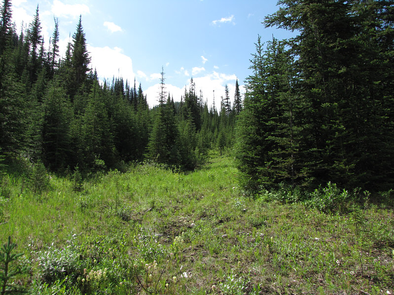
This is the access route to Piggy Plus (GR171264).
Kinda reminds me of those stacked elephant statues. 
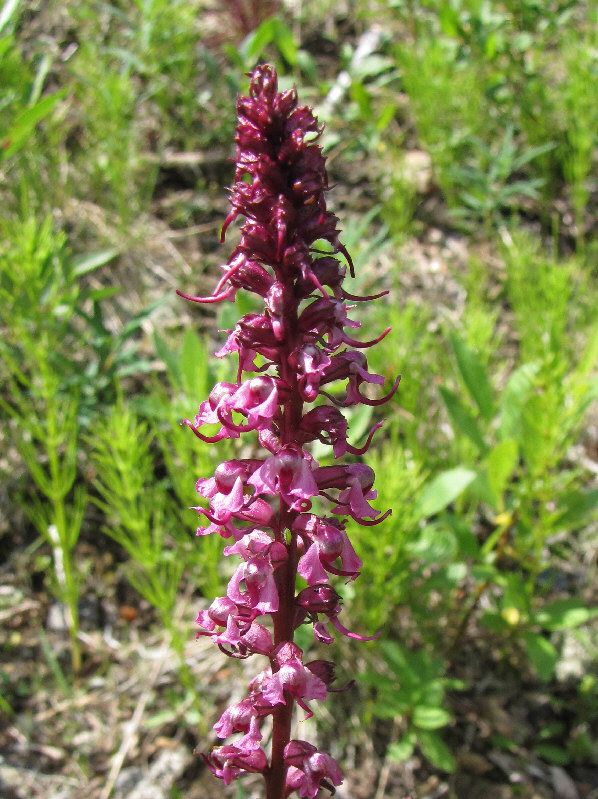
Elephant's head (Pedicularis groenlandica) are in abundance near the turn-off.
The old road will get you up here without any bushwhacking. 
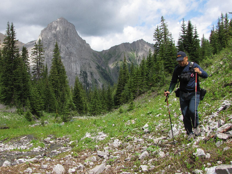
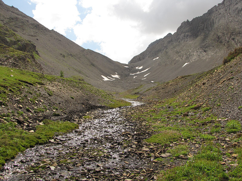
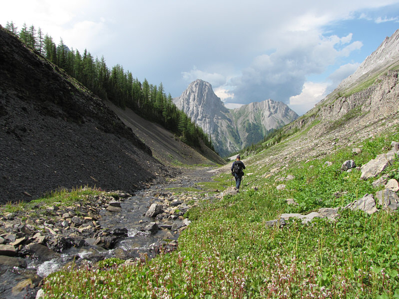
Sonny follows the creek up the valley.  Commonwealth Peak dominates the background.
Looks a little disheveled, doesn't it? 
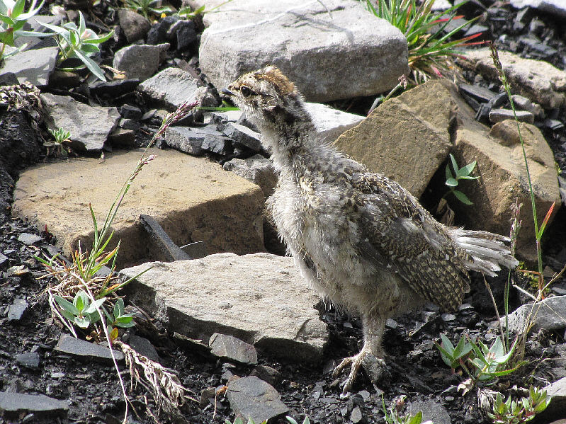
A young ptarmigan looks for its mother.
I would run into these two again on my way out. 
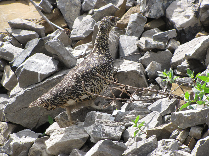
The mother ptarmigan scrambles among the rocks looking for her chick.
Hmm...its teeth look better than mine! 
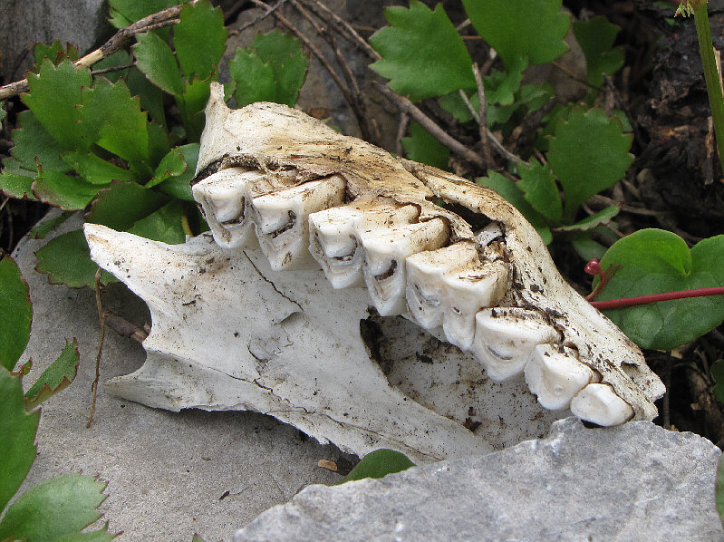
Some sort of ungulate met its demise in this valley.
The hike to the pass is very pleasant. Piggy Plus is to the right of the pass at the head of the valley.
One of the most striking peaks in the area. 
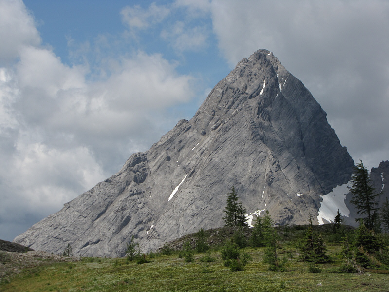
Mount Birdwood towers above a knoll in the valley.
If there was a tarn here, this valley would be a very popular hiking destination. 
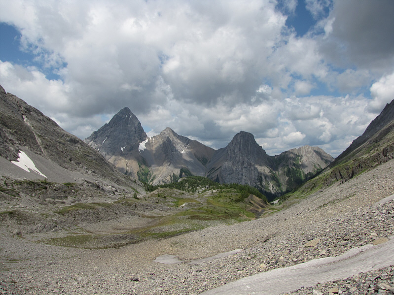
Here is a more expansive view of the valley from near the pass.  L to R are Mount Birdwood, Pig's Tail, Commonwealth Peak and unnamed.
The outlier of Mount French at left apparently is known unofficially as "Prairie Lookout"! 
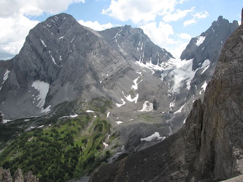
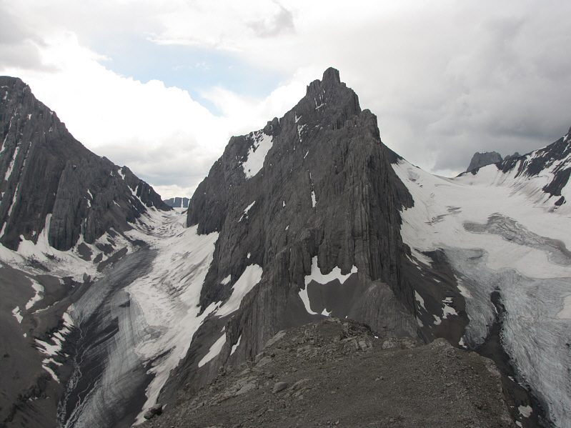
This is Mount French (centre) and the French Glacier as seen from the pass.
Not for the timid... 
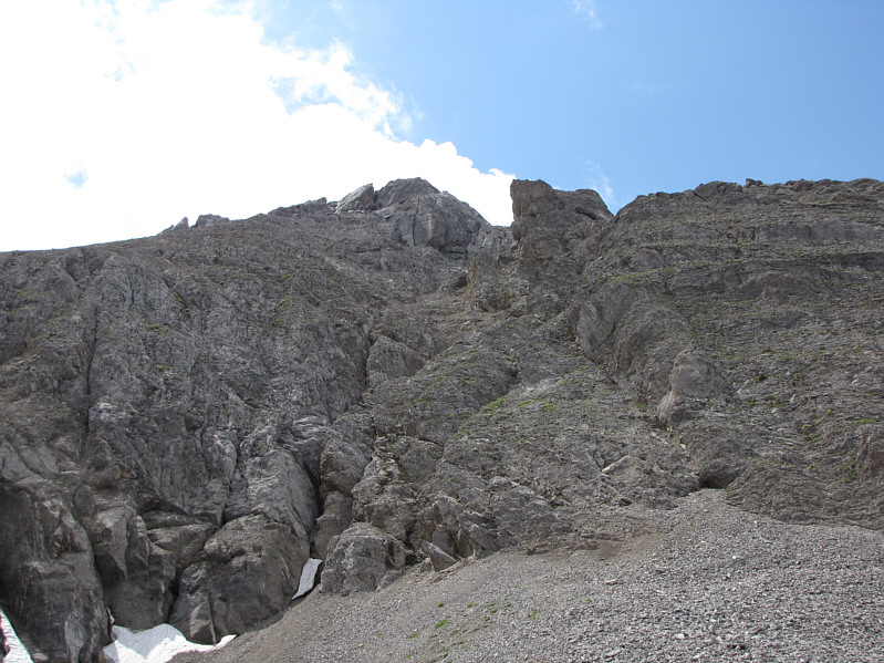
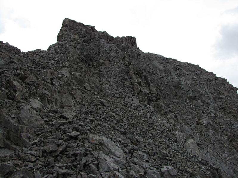
This is the steep face which grants access to the summit ridge of Piggy Plus.
More difficult scrambling ahead... 
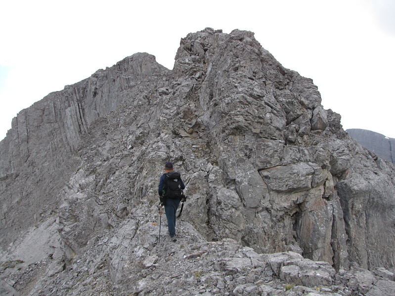
Sonny walks along the summit ridge.
Note how dark it's getting. This is the last obstacle before the summit.
Even the Kane Trooper didn't want to show up! 
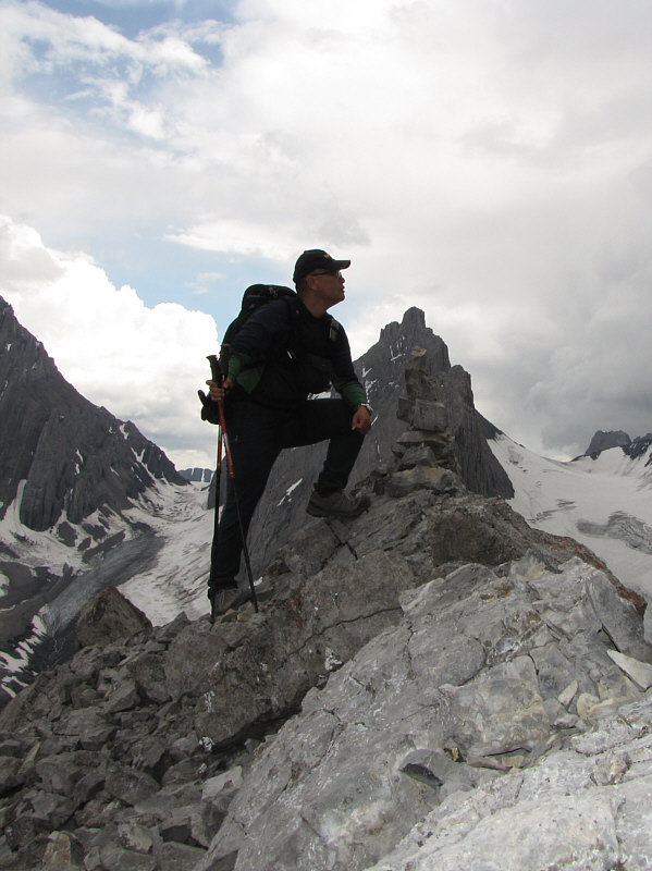
On the 2732-metre summit of Piggy Plus, Sonny nervously watches storm clouds gather to the west.
Yep, that's thunder I hear! To the south, Mount Robertson is flanked by the French and Robertson Glaciers.
Gee, those clouds are looking really dark! 
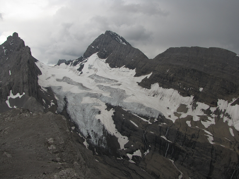
Above the Robertson Glacier is Mount Sir Douglas.
Okay, that thunder is getting louder and closer... 
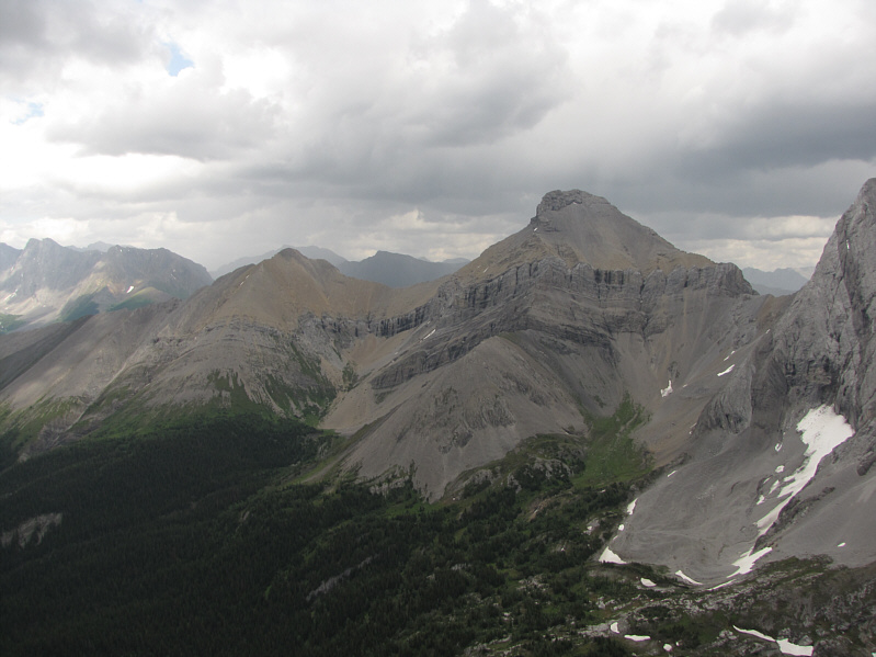
Mount Burstall is to the north.  Some of the notable peaks in the hazy distance include Mount Engadine, The Tower, Mount Galatea and Gusty Peak.
Time to get the f**k out of here!  Probably one of the shortest summit stays I've ever had! 
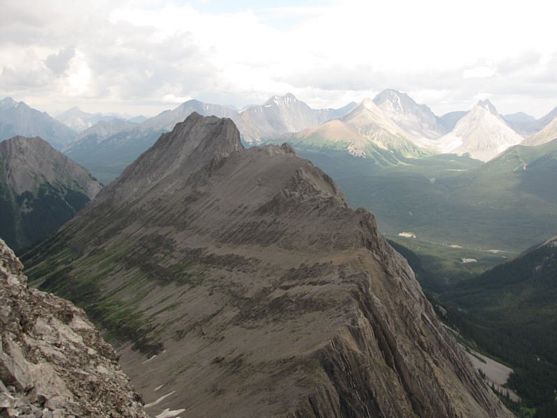
Cegnfs and Mount Murray are to the east.
An odd place for these odd-looking flowers. 
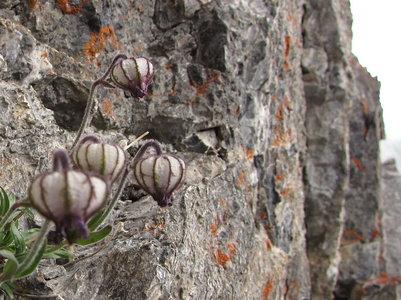
These nodding cockles (Silene uralensis) are growing on a cliff face along the summit ridge.
Wish I could get a ride out... 
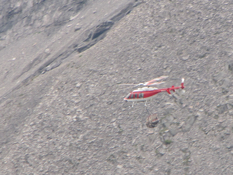
A helicopter, most likely from the ski camp on the Haig Glacier, flies by hauling what appears to be propane tanks.
A much more comfortable location than those nodding cockles! 
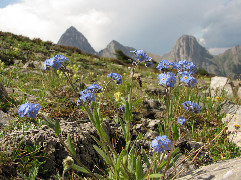
The sun comes out again and shines on these alpine forget-me-nots (Myosotis alpestris) in the valley.
Easy street. Sonny hikes out the valley.