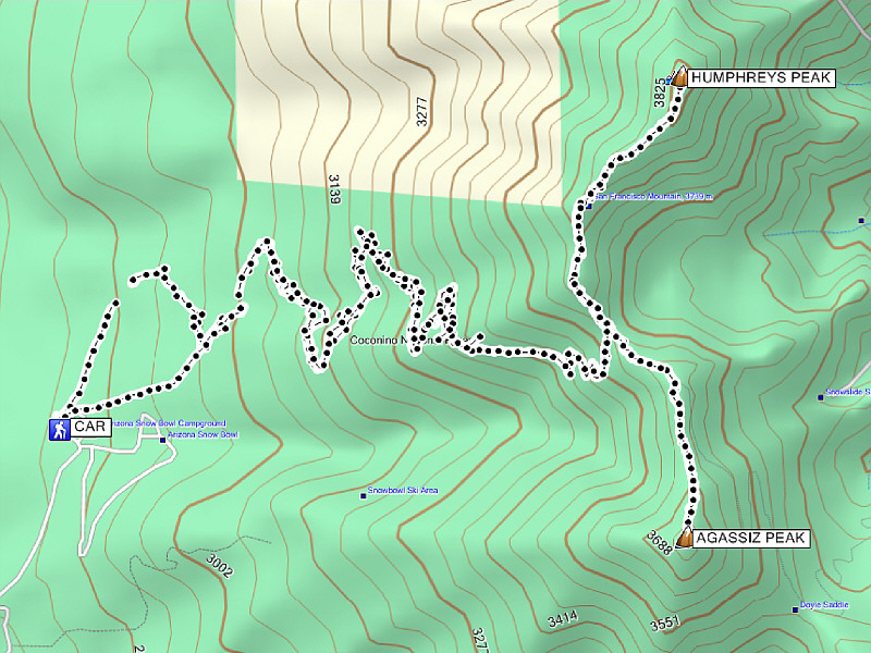
Round-Trip Time: 9 hours
Total Elevation Gain: 1251 metres
While Humphreys Peak has an official trail that runs all the way to its summit, Arizona's only other 12,000-footer, nearby Agassiz Peak, is normally off-limits to hikers due to the presence of an endangered plant known as the San Francisco Peaks groundsel (Senecio franciscanus). How the US Forest Service deems it okay to trample this perennial on one mountain but not another is baffling enough, but the fact that they also lease the slopes of Agassiz Peak to the Arizona Snowbowl ski resort makes the hiking restriction seem like a farce (there are also ongoing controversies regarding the ski resort's plans to expand and to make artificial snow using treated wastewater). That being said, several Internet sources state that climbing Agassiz Peak is permitted if it is covered with snow. I carefully considered this while studying Agassiz Peak on my way back to the col with Kelly and Guy.
From the col, Kelly and Guy continued hiking down the trail while I
set off alone up the north ridge of Agassiz Peak. During my ascent,
I made a conscious effort to stay mostly on snow or rock and to avoid
stepping on any vegetation (at the time, I was not even sure what the
groundsel looked like). A few sections of wind-blown, hard-packed
snow brought back some unpleasant memories from
Mount
Kidd South Peak, but otherwise, I reached the summit without too much
trouble. After a brief stay, I quickly retraced my steps to the col
and settled into a long but generally uneventful descent back to my car.
The trail was busier in the afternoon, and I was surprised to see so many
hikers still going up given the lateness of the day. I
wondered if some of them would even make it past tree line before sunset.
After returning to our hotel and getting cleaned up, Kelly and I headed
to the Bigfoot Bar-B-Q
restaurant in downtown Flagstaff for dinner and coincidentally ran into
Guy there. It was a great way to end a fabulous day of hiking in
Arizona.
|
|
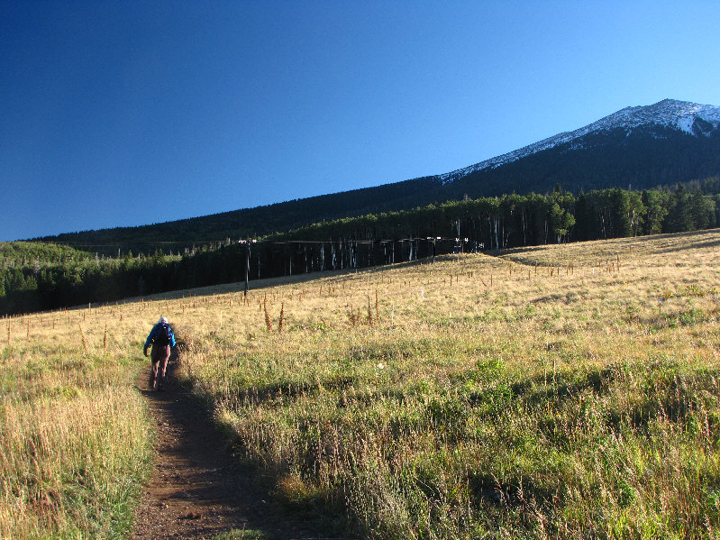
Kelly begins the hike up Humphreys Peak (upper right) from the bottom of the ski resort. |
|
|
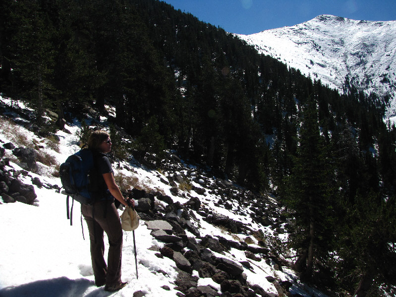
Kelly pauses to check out the view from the snow-covered trail. At upper right is Agassiz Peak. |
|
|
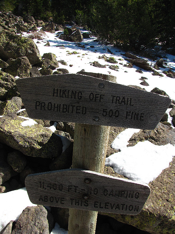
This is one of several reminders on the mountain to stay on the trail...or else! |
|
|
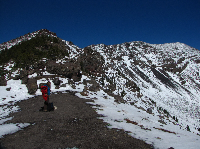
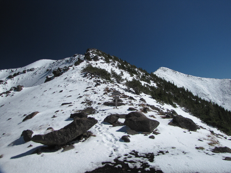
The trees begin to thin out as Kelly approaches the col south of the first false summit (centre). |
|
|
From the col, the summit of Humphreys Peak is visible at far right. |
|
|
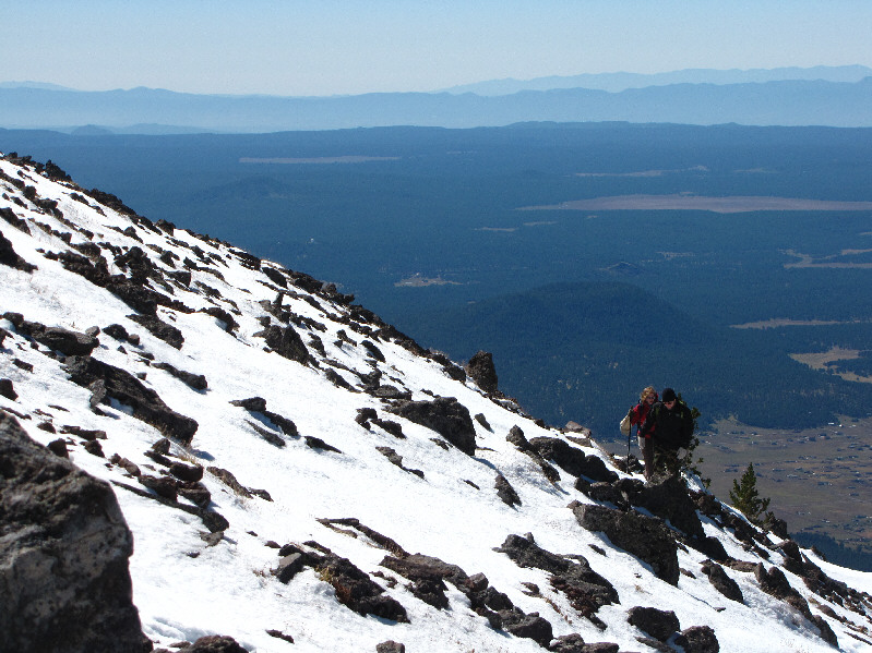
Kelly and Guy climb up snow-covered slopes. |
|
|
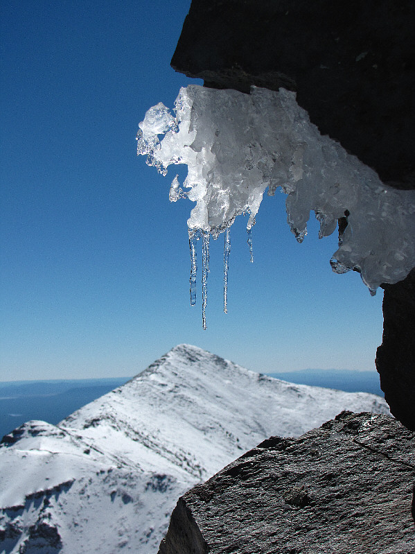
Some icicles dangle "above" Agassiz Peak. |
|
|
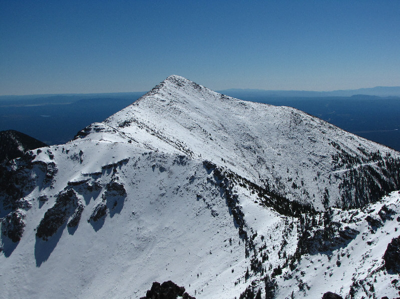
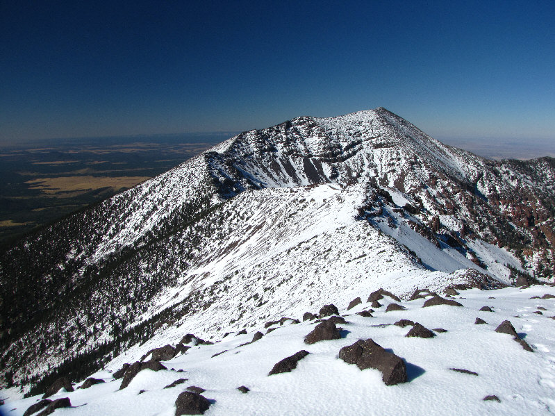
Here is a more complete view of Agassiz Peak from the summit ridge of Humphreys Peak. |
|
|
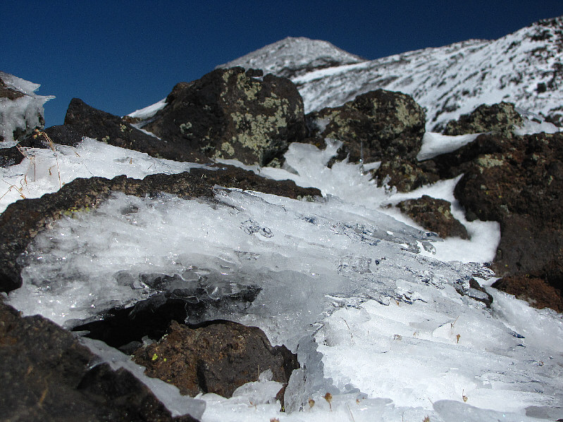
Wind and sun have created some interesting ice formations on the summit ridge. |
|
|
Kelly hikes along the summit ridge. |
|
|
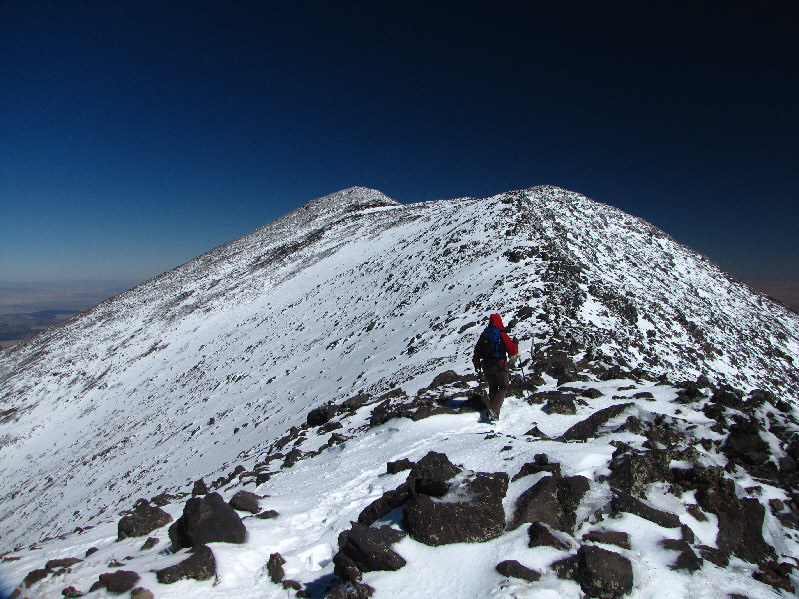
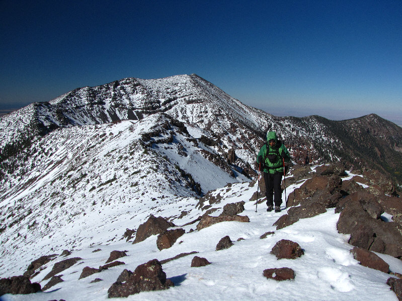
Guy and Kelly take the last few steps before the summit. Agassiz Peak is visible at left. |
|
|
Kelly and Sonny stand on the highest point in Arizona. |
|
|
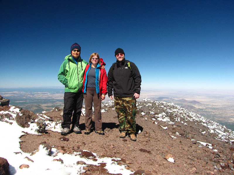
Sonny, Kelly and Guy pose for a group photo on the 3845-metre summit of Humphreys Peak. |
|
|
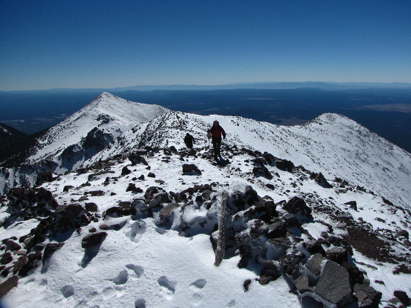
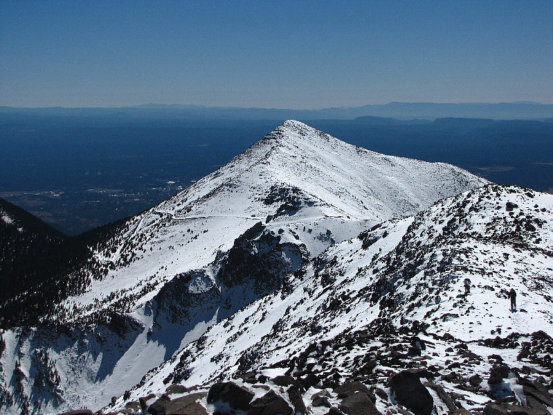
Agassiz Peak is to the south. The Weatherford Trail, an old reclaimed road, is visible on the northeast slopes. |
|
|
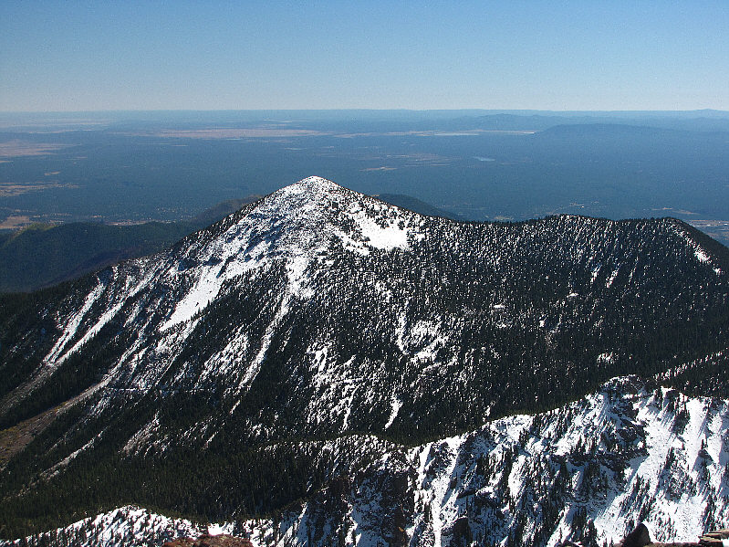
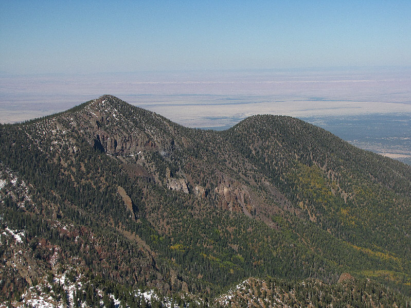
To the southeast is Fremont Peak. |
|
|
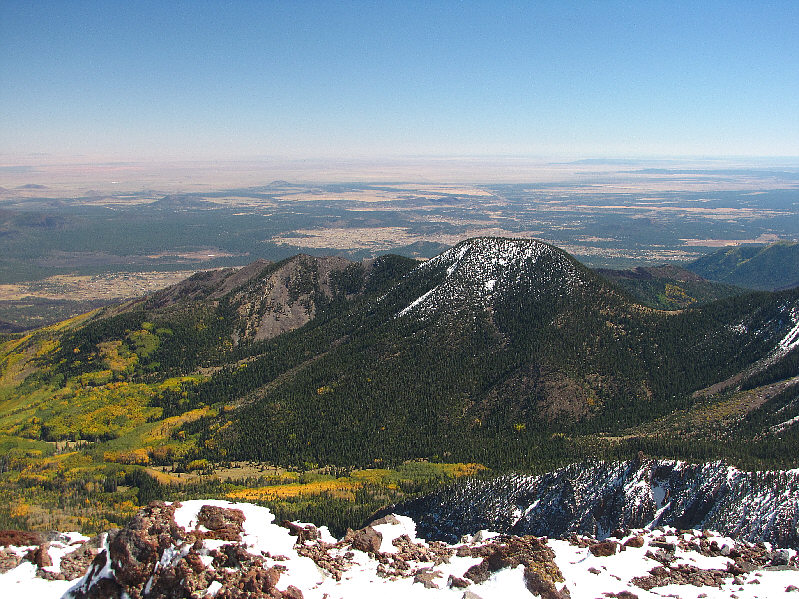
Also to the southeast is Doyle Peak. |
|
|
Kelly heads back down the mountain. |
|
|
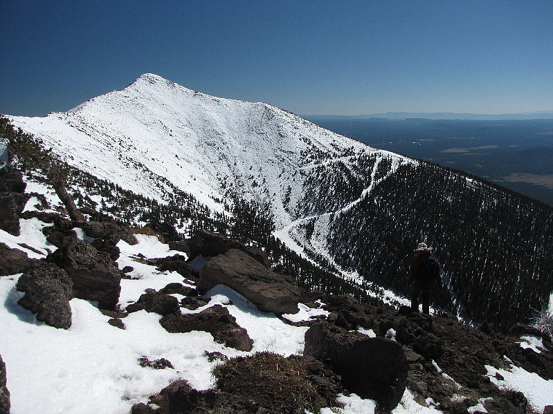
This is looking up at Agassiz Peak (distant right) from the col. |
|
|
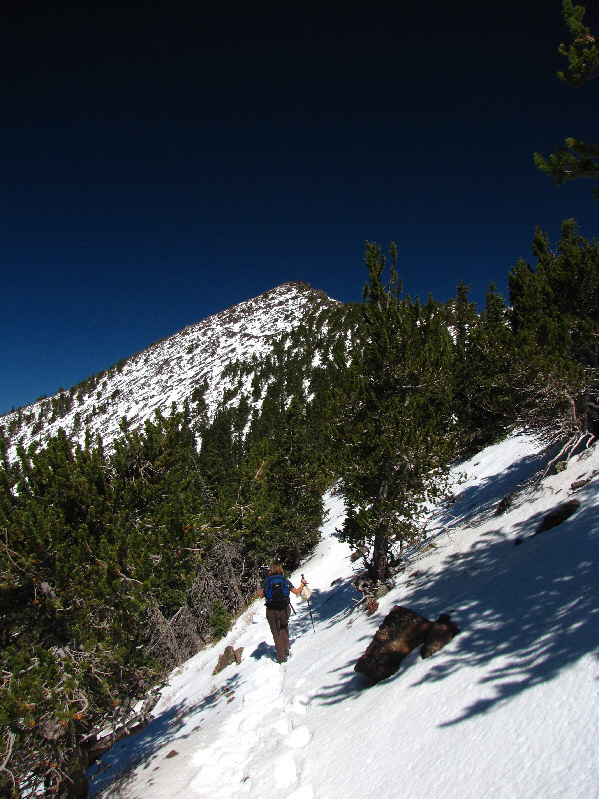
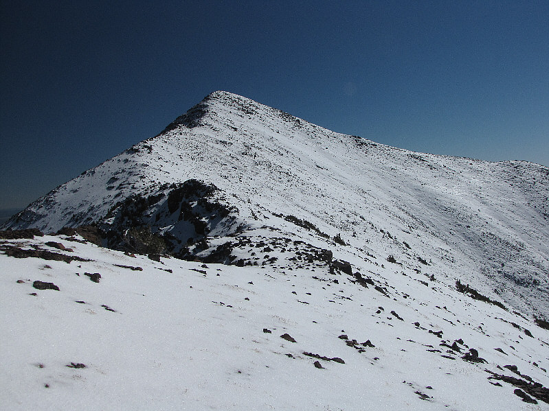
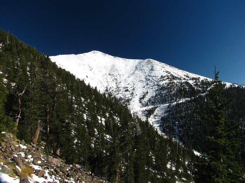
The north ridge of Agassiz Peak presents no significant challenges. |
|
|
Sonny hikes up the north ridge of Agassiz Peak. |
|
|
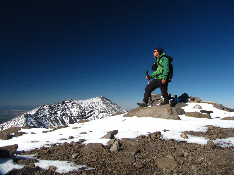
Sonny stands on the 3760-metre summit of Agassiz Peak. |
|
|
To the east are Doyle Peak (left) and Fremont Peak. |
|
|
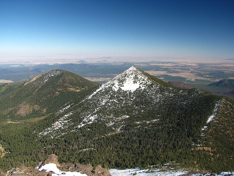
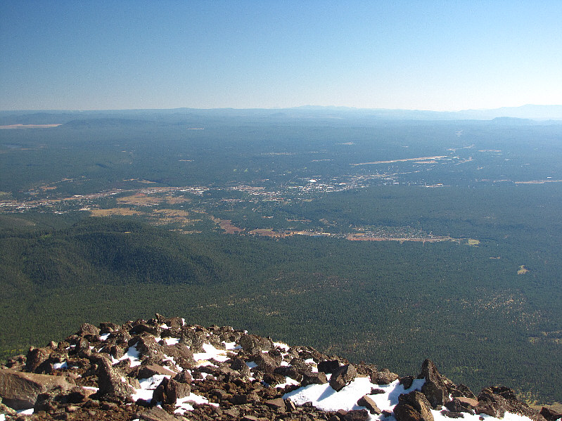
The city of Flagstaff is visible to the south. |
|
|
Kendrick Peak to the northwest is a large lava dome. |
|
|
Humphreys Peak dominates the view to the north. |
|
|
To the northeast are Aubineau Peak and Rees Peak. |
|
|
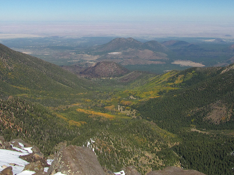
Sugarloaf Peak, a lava dome, is visible at the mouth of the basin which is at the heart of the San Francisco Peaks. Numerous cinder cones are also visible in the distance. |
|
|
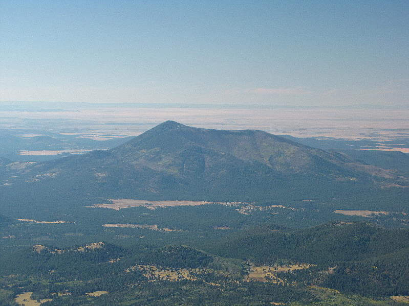
Here is one last look at Agassiz Peak from the trail. |
|
|
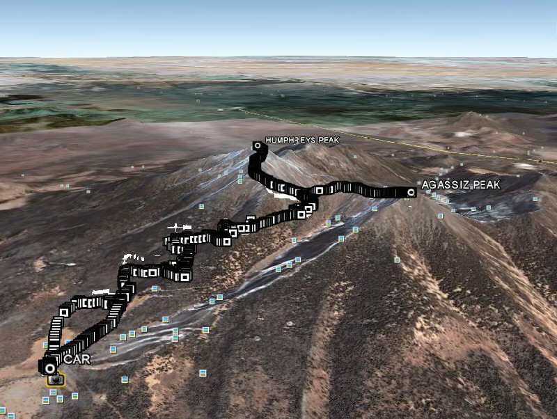
This is the route as viewed in Google Earth. |
|
|
Total Distance: 19.2 kilometres Round-Trip Time: 9 hours Total Elevation Gain: 1251 metres |