


|
|
Kelly heads north from the parking area at Dantes View. |
|
|
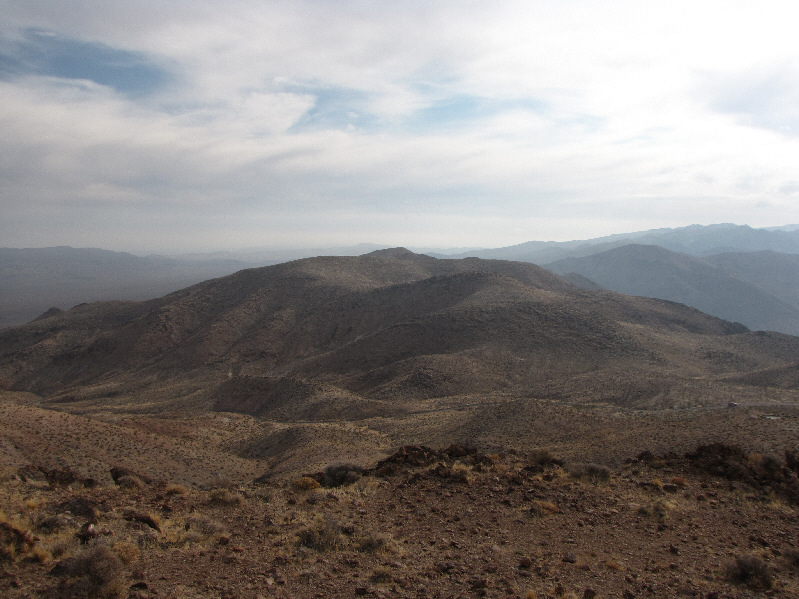
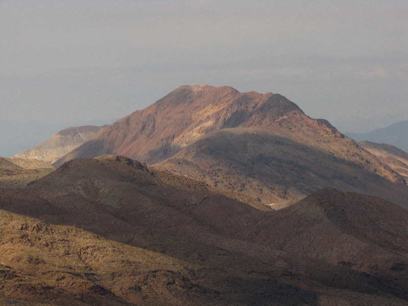
Coffin Peak is visible to the southeast. |
|
|
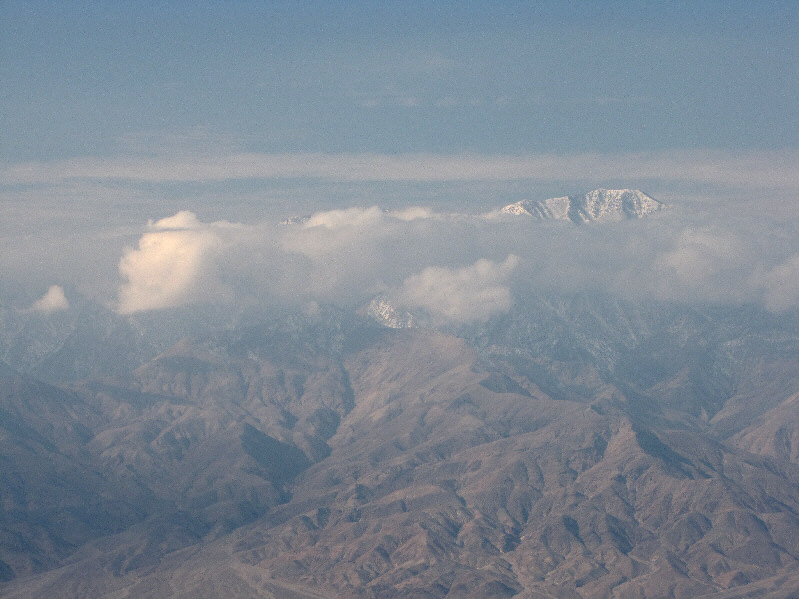
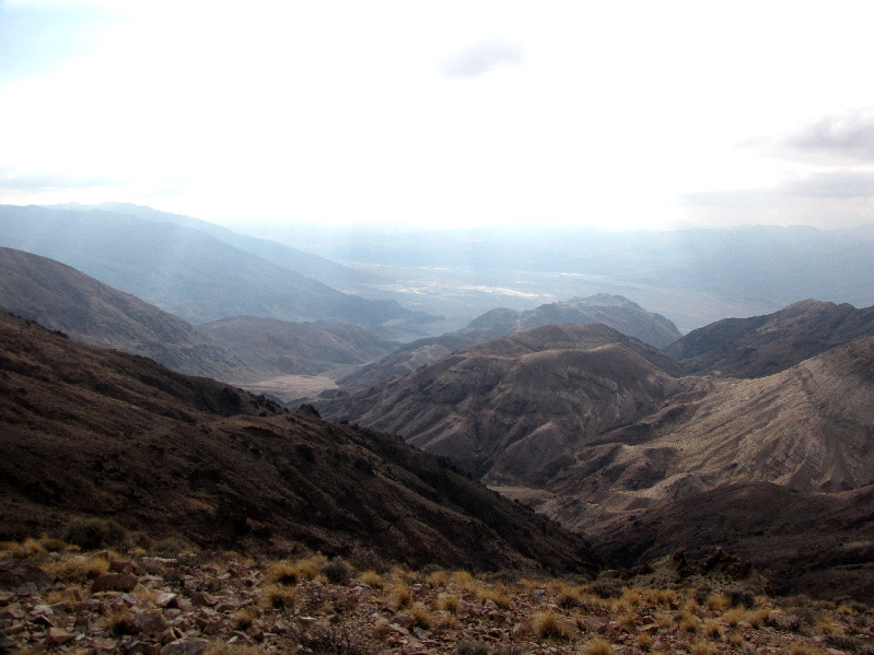
Telescope Peak pokes above the clouds to the west. |
|
|
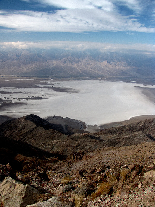
The salt flats of Badwater Basin are spread out below Dantes View. |
|
|
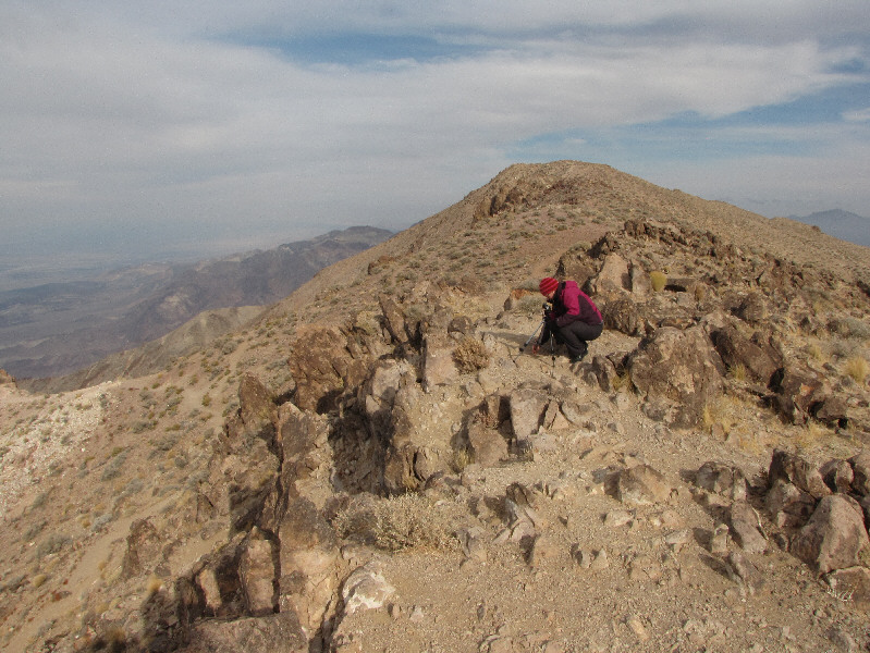
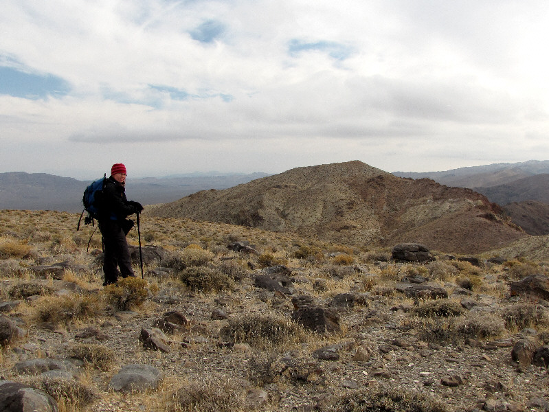
Kelly stops to take some photographs on her way to Dantes Peak which is visible behind her. |
|
|
North from the summit of Dantes Peak are Mount Perry (left of centre) and Pyramid Peak (far right on horizon). |
|
|
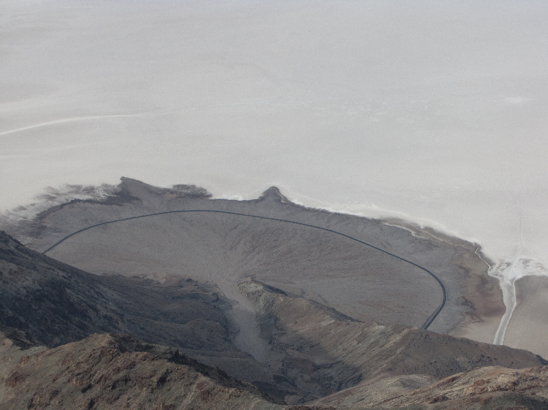
Badwater Road winds around a wash about 1800 metres below. The strip of white at bottom right is where tourists usually walk out onto the salt flats. |
|
|
This is one of the many huge washes emanating from the Panamint Range to the west. |
|
|
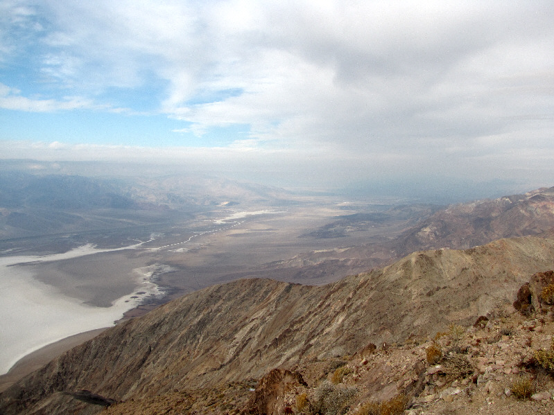
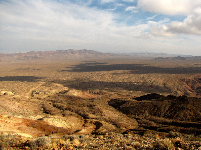
Here is a more comprehensive view of Badwater Basin from Dantes Peak. |
|
|
Clouds and haze obscure much of the northern half of Death Valley. |
|
|
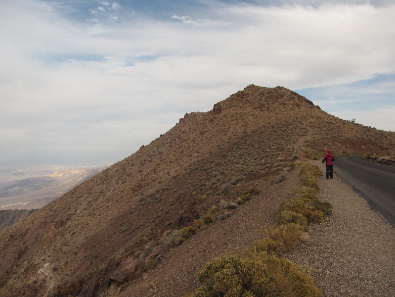
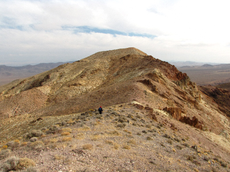
Kelly is on her way to Coffin Peak. Dantes Peak is on the right. |
|
|
Pyramid Peak rises prominently on the horizon as Kelly descends to a broad saddle. |
|
|
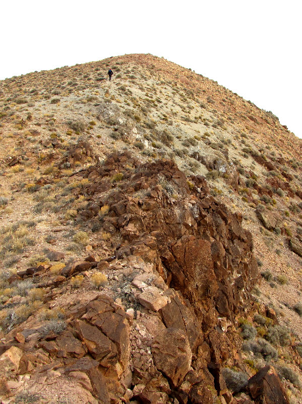
The summit of Coffin Peak comes into view. |
|
|
Kelly descends to another saddle before the final push to the summit. |
|
|
Kelly detours to check out some rock outcrops. |
|
|
Kelly takes the last few steps before the summit. |
|
|
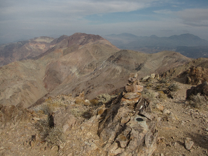
Sonny and Kelly stand atop the 1677-metre summit of Coffin Peak. |
|
|
A large wash drains into Death Valley to the southwest. |
|
|
The Black Mountains stretch away to the south. |
|
|
Bat Mountain is visible across the plain to the east. |
|
|
The view north includes Mount Perry. |
|
|
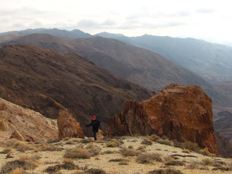
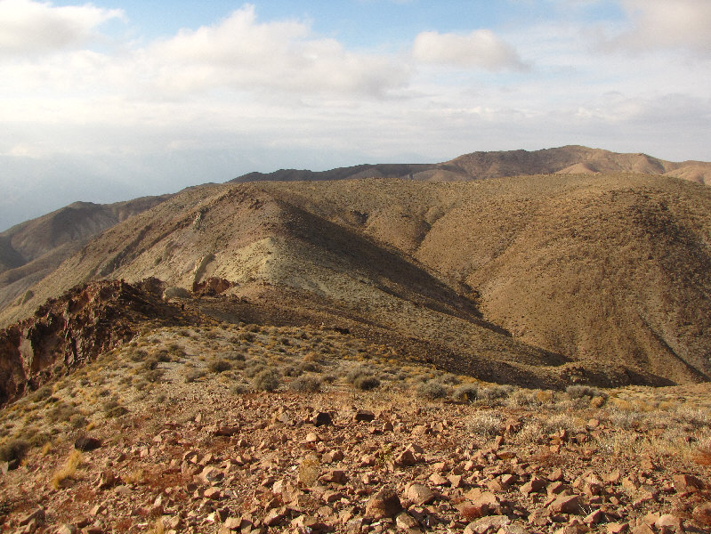
This is looking back at the access ridge. Dantes Peak is also visible on the horizon at right. |
|
|
Kelly stands near the junction of Badwater Road and Highway 190. |
|
|
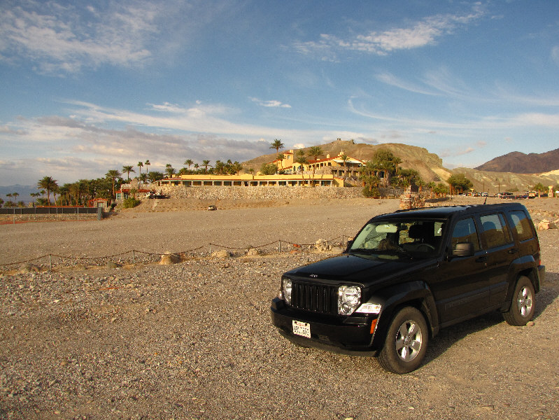
Furnace Creek Inn is situated close to the junction. |
|
|
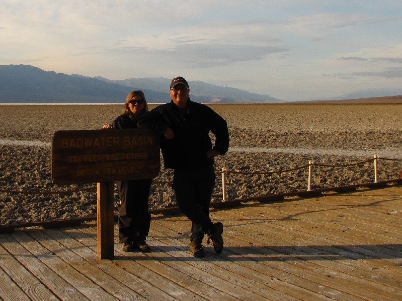
Kelly and Sonny arrive at Badwater Basin (86 metres below sea level), the lowest dry land elevation in North America. The actual low point is several miles west of this sign. |
|
|
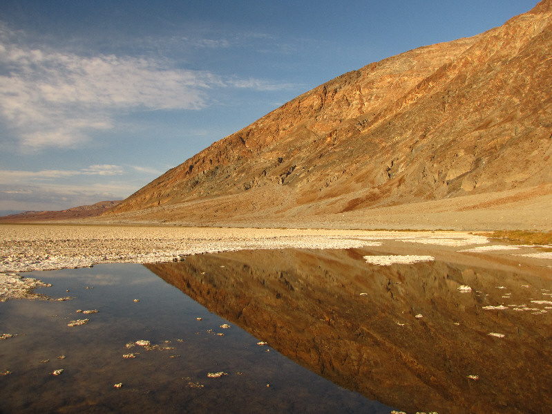
This spring-fed pool is an oasis of sorts at Badwater Basin. |
|
|
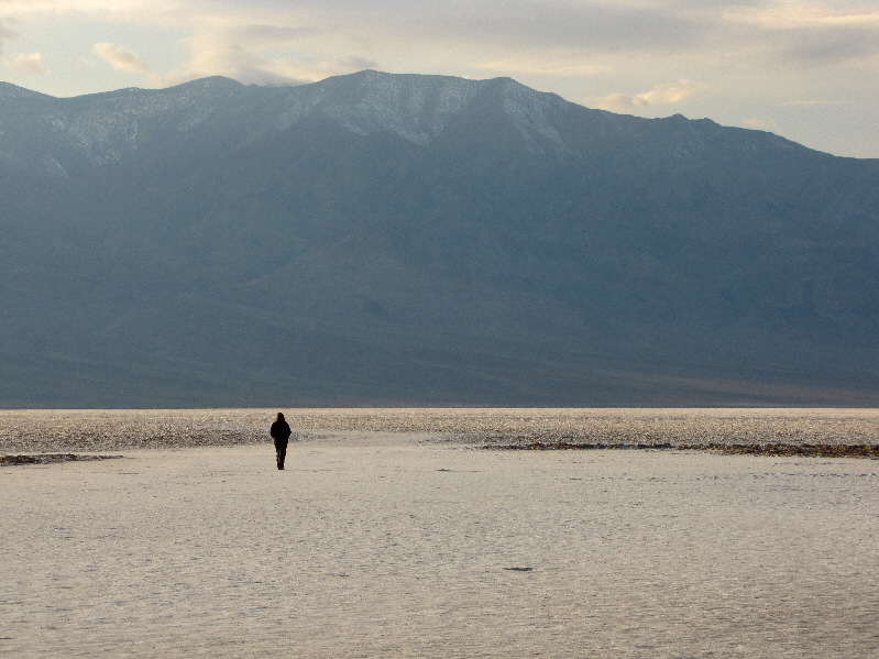
Kelly walks out onto the salt flats. |
|
|
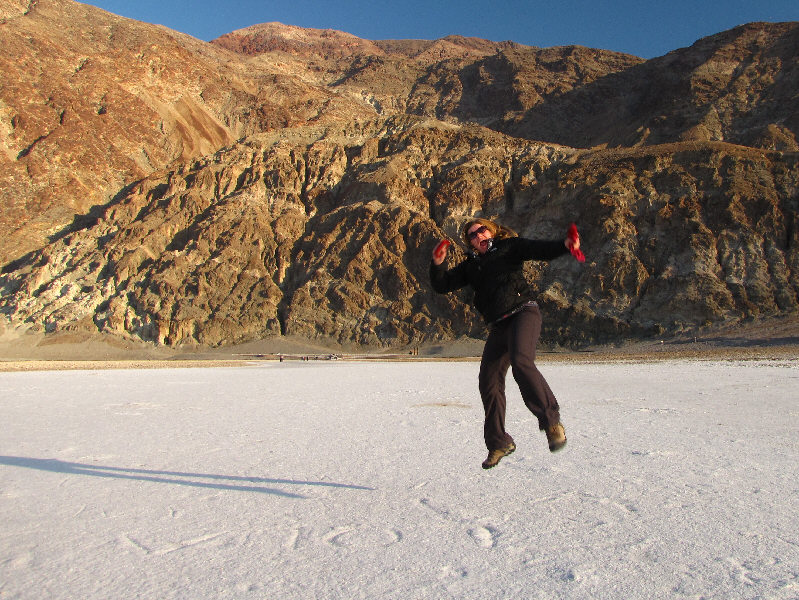
Kelly jumps for joy on the salt flats. Dantes Peak is visible in the background. |
|
|
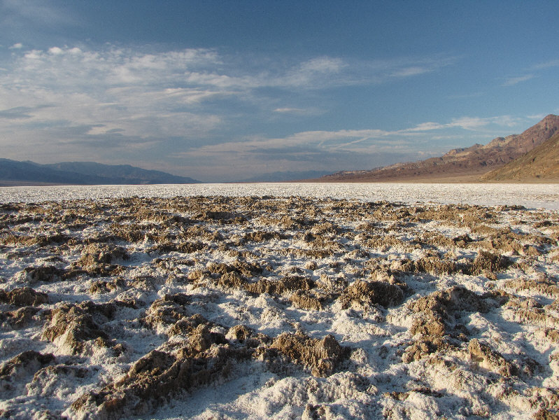
These salt crusts are formed from repeated freeze-thaw and evaporation cycles. |
|
|
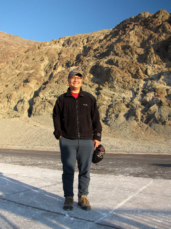
Sonny grins back at the Badwater Basin parking lot. |
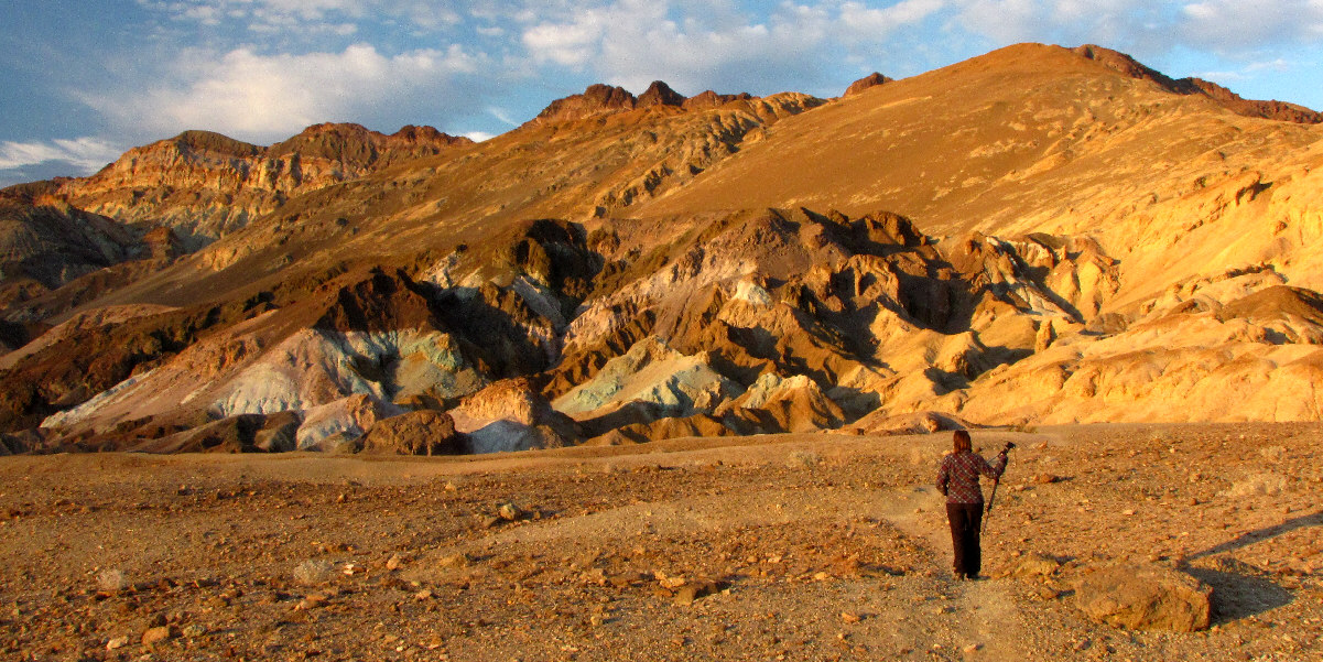
Kelly hikes toward Artists Palette just before sunset.
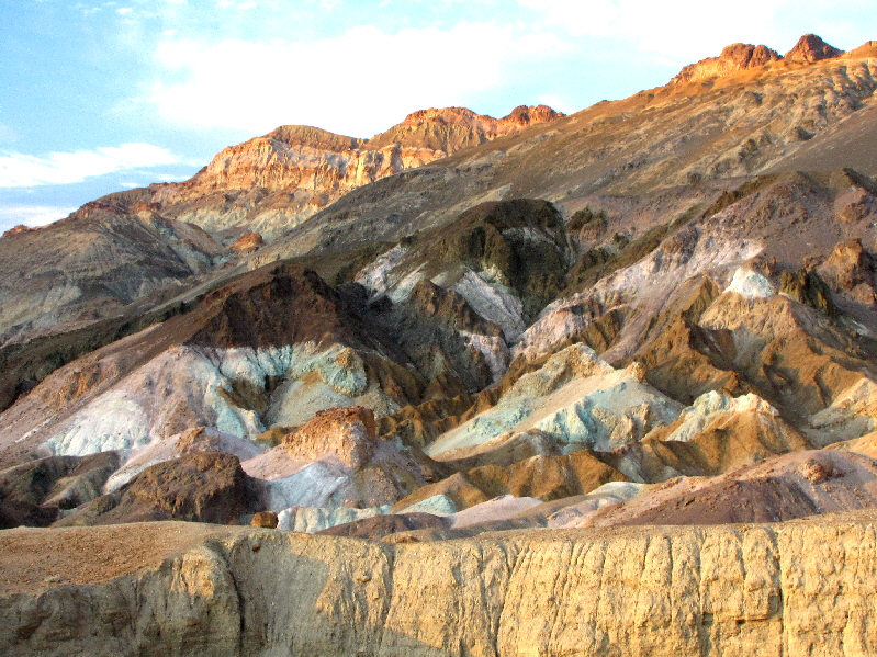 |
Here is a closer look at Artists Palette. |
 |
The hillsides near Artists Palette are interesting in their own right. |
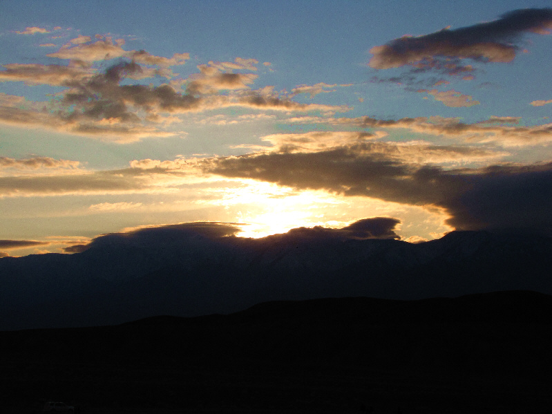 |
The sun disappears behind the clouds to the southwest. |
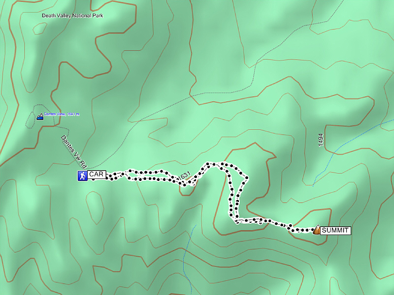 |
Statistics for Coffin Peak Total Distance:
4.75 kilometres |