


|
|
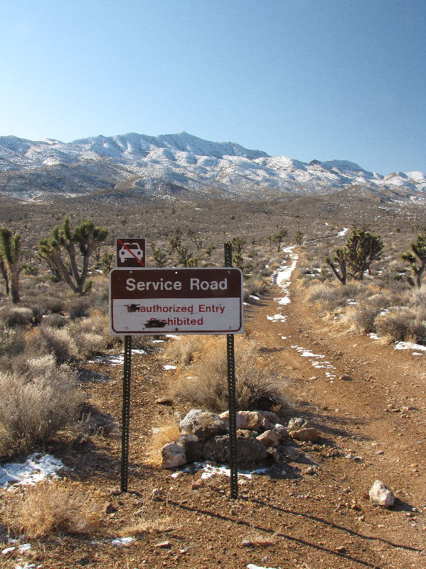
Gass Peak is visible behind the sign at the trailhead. |
|
|
The normal route winds up the ridges on the left. |
|
|
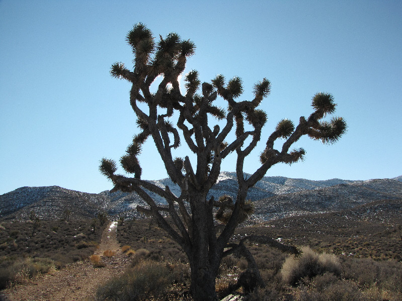
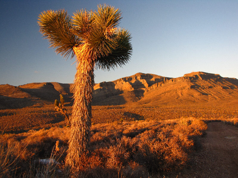
There are a few Joshua trees in the area. |
|
|
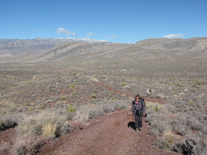
Kelly hikes up the east branch of the service road. |
|
|
The sunshine highlights this Cholla cactus. |
|
|
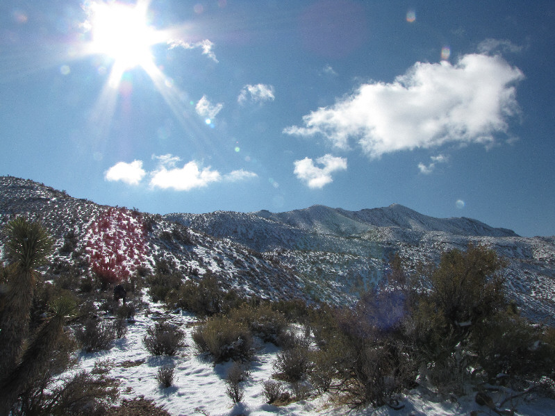
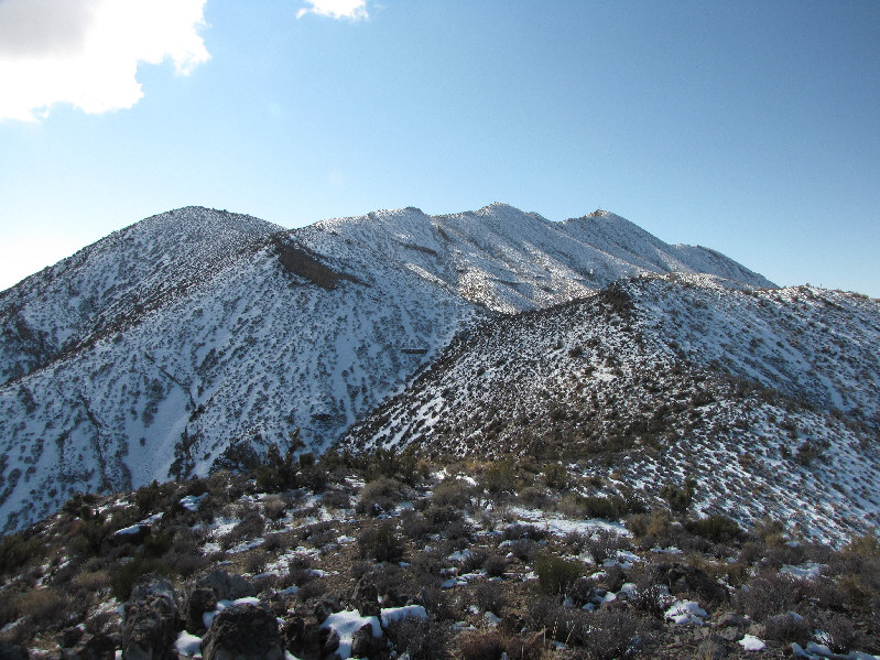
Snow covers much of the north side of Gass Peak. |
|
|
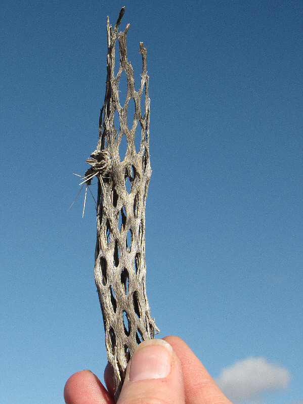
Kelly holds up the remnant of some sort of cactus (probably cholla). |
|
|
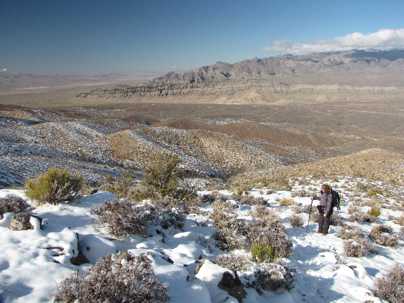
Kelly looks across the access valley to the north. |
|
|
This yucca plant resembles a saguaro cactus. |
|
|
The route continues along the connecting ridgelines. |
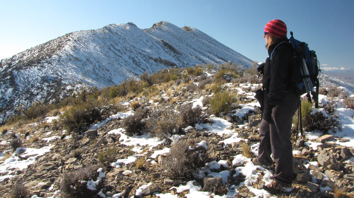
Kelly studies the remainder of the route to the summit.
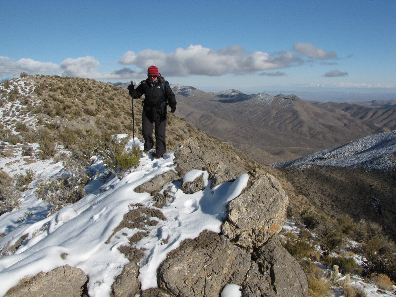 |
A few rocky sections like this one are mildly exposed. |
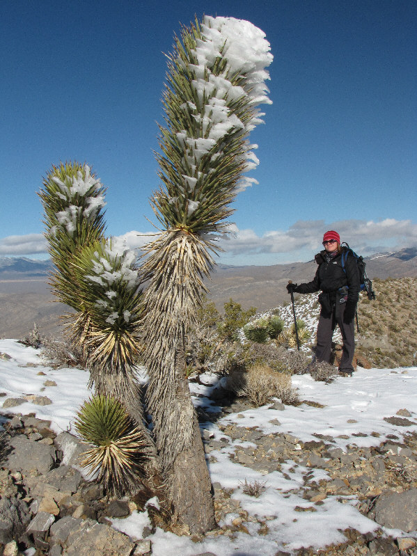 |
Kelly admires this snow-plastered yucca plant. |
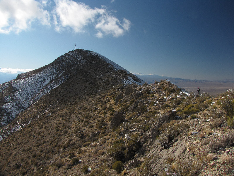 |
Kelly approaches the summit of Gass Peak. |
 |
Kelly (holding what appears to be a plastic propeller blade) and Sonny stand on the 2109-metre summit of Gass Peak. |
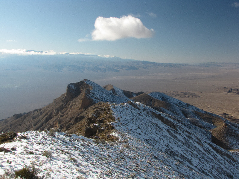 |
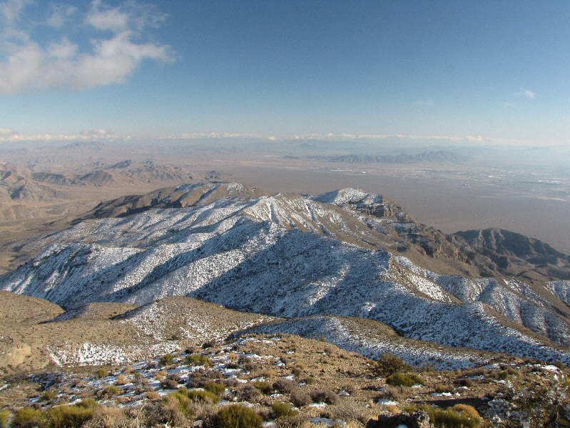
This is the west ridge of Mount Gass. The Spring Mountains are visible at distant left. |
 |
The distinctive wall to the northwest is Fossil Ridge. |
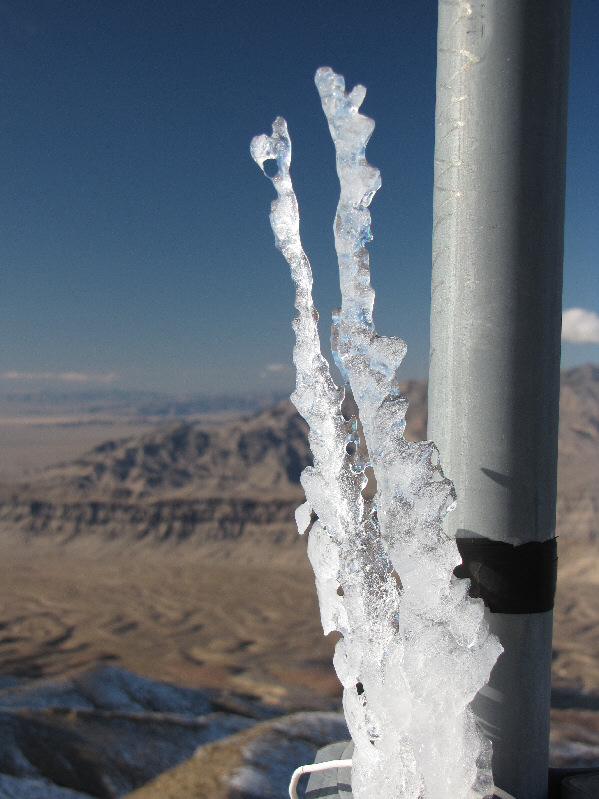 |
These icicles on the summit pole have seemingly defied gravity by growing upwards. |
 |
Frenchman Mountain is visible at distant right to the southeast. |
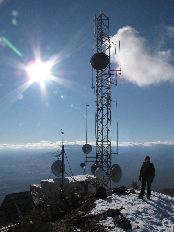 |
Telecommunications equipment crowd the summit of Gass Peak. |
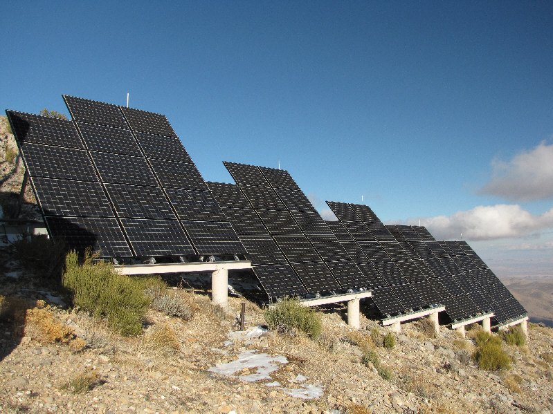 |
These solar panels presumably help power the telecommunications equipment. |
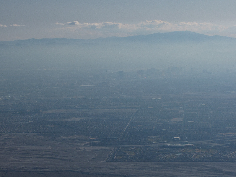 |
To the south, the Las Vegas Strip is barely visible through the haze and smog. |
 |
The desert landscape glows late in the day. |
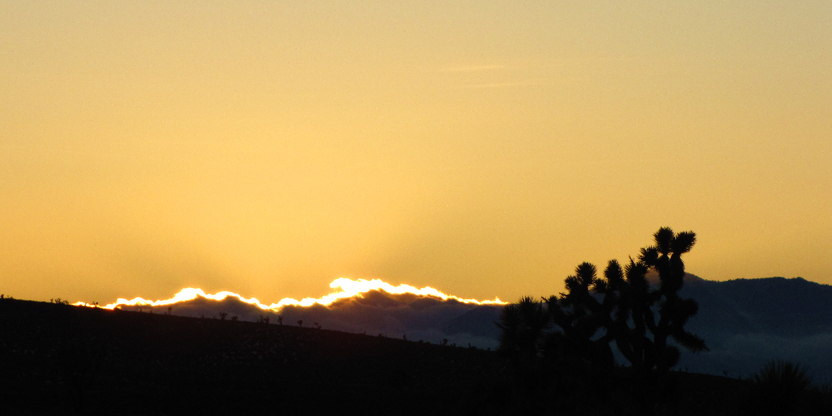
The sun disappears behind some clouds on the southwest horizon.
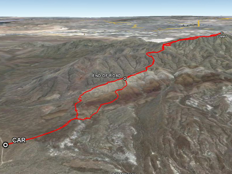 |
This is the route as viewed in Google Earth. |
 |
Total Distance: 11.7 kilometres Round-Trip Time: 6 hours 13 minutes Net Elevation Gain: 619 metres |