


After reaching the saddle separating Matahpi Peak and Going-to-the-Sun Mountain, I ascended a bit of the ridge toward the latter before working my way across the west face. Given the less than ideal weather, I was surprised at this point to see a figure approaching on the same face. Perhaps I was fatigued and feeling anti-social, but for some odd reason, I gave this person a wide berth. Although we both stopped to acknowledge one another, we were barely within shouting distance, and without further ado, we kept going in opposite directions. Soon after, I picked up a trail that traverses below the cliffs guarding the upper mountain, but because of the foreshortened view, I had some difficulty determining where the routes through the cliffs started. I muddled about for quite awhile before summoning the courage to ascend what would turn out to be Edwards' Class 4 gully route. In the meantime, I noticed that my acquaintance was well on his way up nearby Matahpi Peak, and he eventually reached the summit while I was still struggling to clear the last of the cliffs on Going-to-the-Sun Mountain. Though technically easy, the last 250 metres of elevation gain is exceedingly tedious, and it felt like an eternity before I finally stepped up to the summit cairn.
When I read the summit register, I was surprised to learn that the
person that I had crossed paths with earlier was none other than James
Yearous, a peak-bagger from Lethbridge, Alberta with whom I have shared a
few summits in the past. Given the lateness of the day, I abandoned
any notions of following James up Matahpi Peak and turned my attention to
the descent. After descending the tedious section fairly quickly, I
had some difficulty downclimbing one spot in the Class 4 gully.
Further down, I took a more direct line into the large bowl below the
west face, and consequently, I had to do some extra route-finding to get
through the cliffs there. I eventually followed the first stream
bed back to the trail before returning to my car in the dark.
A scary incident happened on my drive home later that night. Just
south of Nanton, Alberta, my car inadvertently struck some debris on the
highway. Cruising at approximately 120 kilometres per hour in the
dark, I had absolutely no chance to see the object that I hit. The
car started vibrating, and I knew right away that the object had
punctured one of my tires. I then pulled over, turned on my hazard
lights, and grabbed my headlamp to check my tires. My front left
tire was totally flat and had a large irreparable gash in its sidewall.
Shivering in the cold wind, I scrambled to put on some warm, dry clothes
before proceeding to change the damaged tire. Minutes later,
another motorist pulled up behind me to check if I was alright. He
had managed to avoid the debris and had even stopped to remove it from
the road. It turns out that the object I hit was a jerry can, and
there were in fact two of them on the road. After thanking the
motorist for stopping to check on me, I finished changing my tire and
drove home without further incident. In retrospect, I am thankful
that nothing more serious resulted from the collision.
|
|
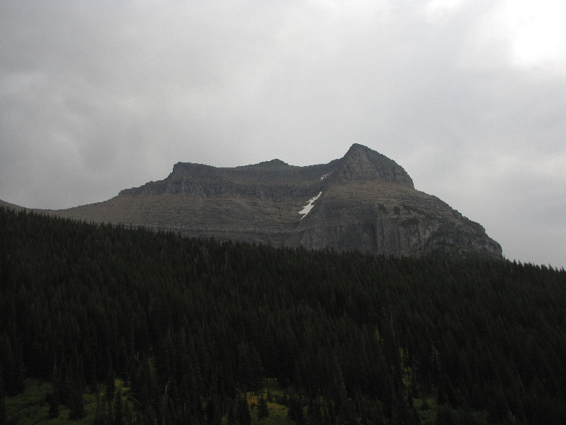
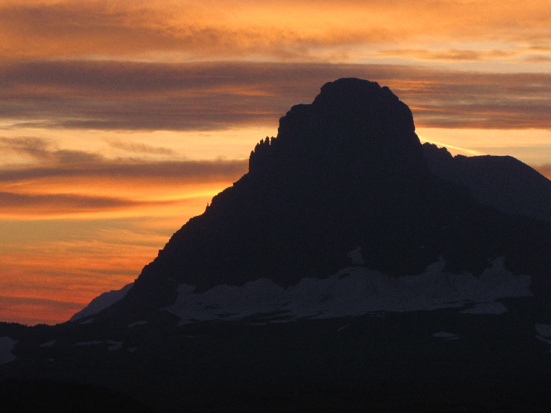
This is Going-to-the-Sun Mountain as seen from its namesake road near Siyeh Bend. |
|
|
The trail starts briefly alongside Siyeh Creek. |
|
|
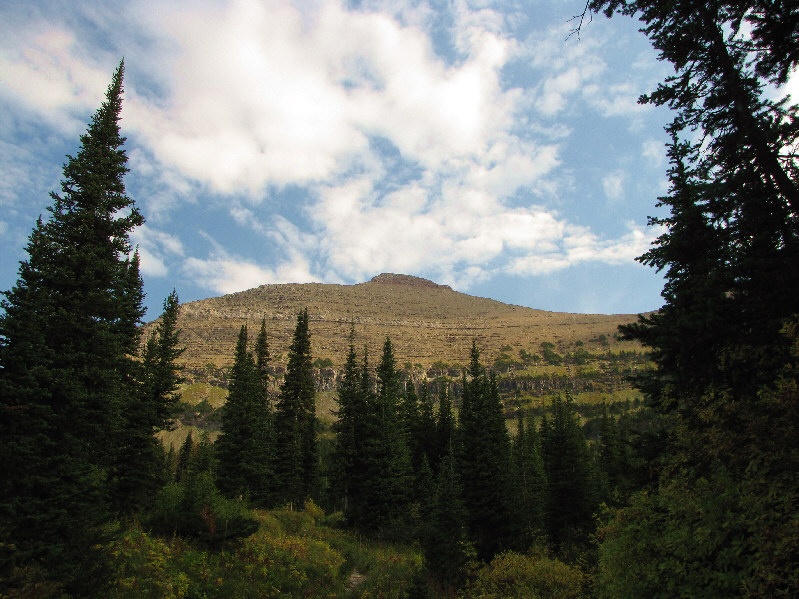
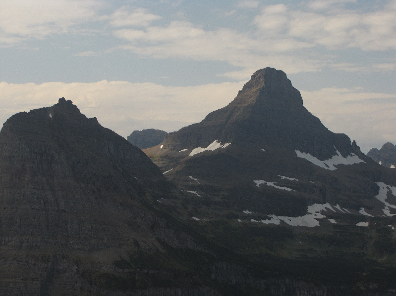
Matahpi Peak is visible through the trees. |
|
|
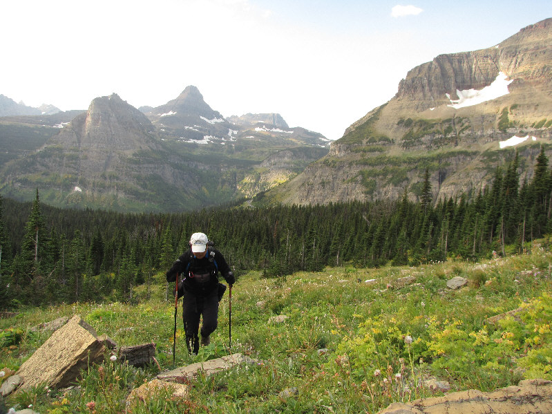
Sonny climbs up an avalanche slope. Visible behind him are Heavy Runner Mountain, Reynolds Mountain and Bearhat Mountain. |
|
|
Piegan Mountain dominates much of the view to the west. |
|
|
Here is a closer look at Heavy Runner Mountain (far left) and Reynolds Mountain. |
|
|
The cliff bands guarding the lower bowl present some route-finding challenges. |
|
|
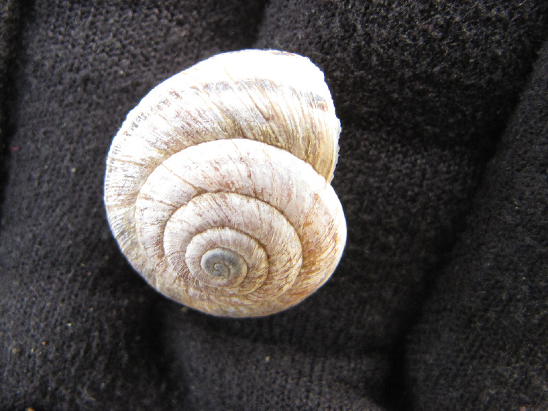
Sonny finds an intact snail shell. |
|
|
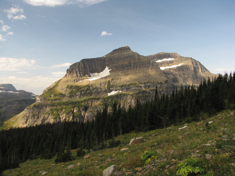
Here is the west face of Going-to-the-Sun Mountain as seen from the upper bowl. |
|
|
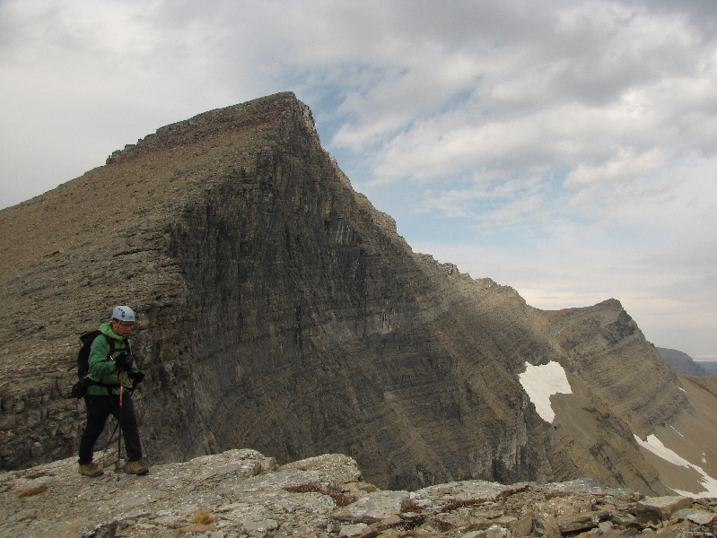
Matahpi Peak boasts a dramatic east face. |
|
|
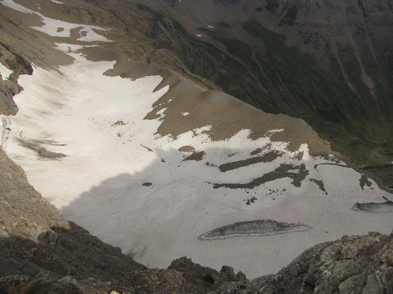
The Sexton Glacier is tucked below the east side of Matahpi Peak. |
|
|
Sonny steps carefully along the edge of the abyss. |
|
|
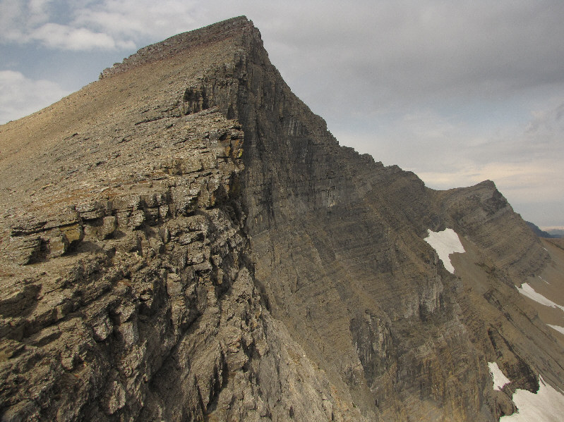
This is looking up the north ridge of Going-to-the-Sun Mountain. |
|
|
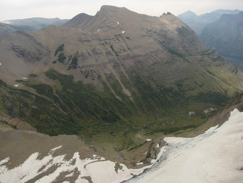
Goat Mountain lies to the east. Baring Creek is visible in the valley below. |
|
|
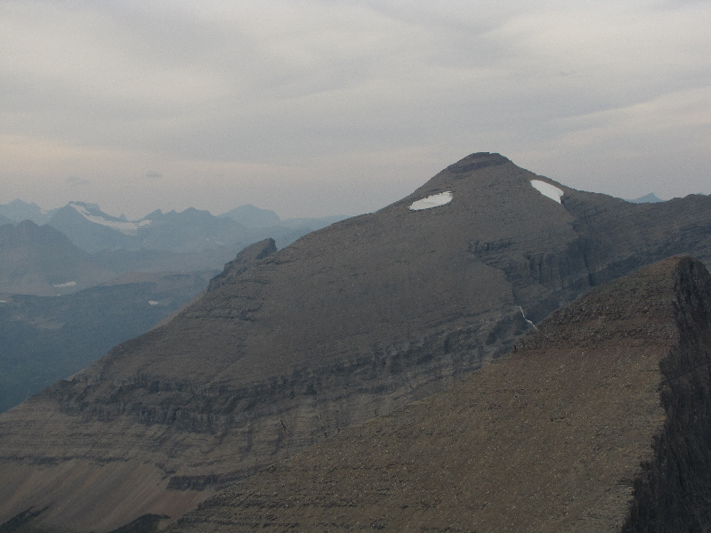
Here is another look at Matahpi Peak from the traverse below the cliffs guarding the upper mountain. Mount Gould is visible in the distance at left. |
|
|
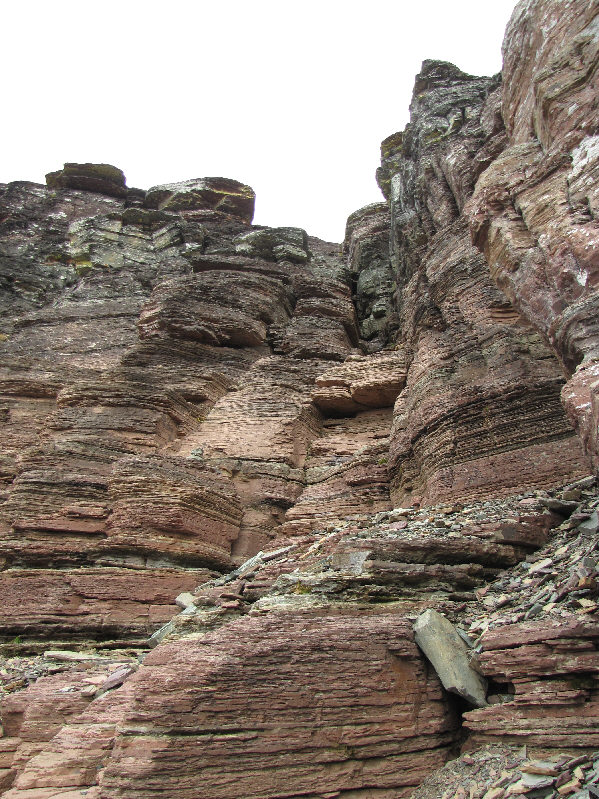
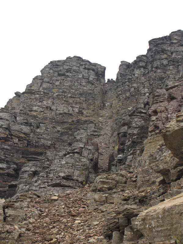
This is the bottom of the Class 4 gully described by Edwards. |
|
|
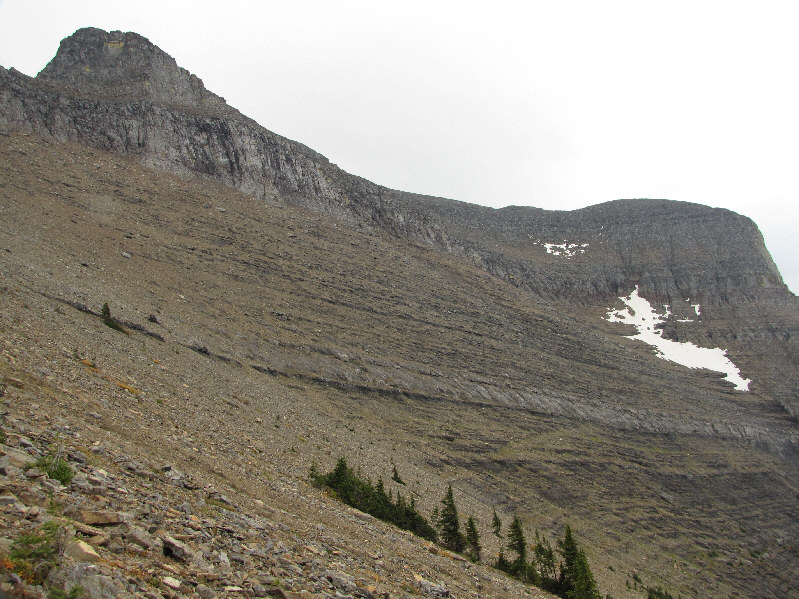
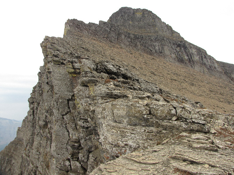
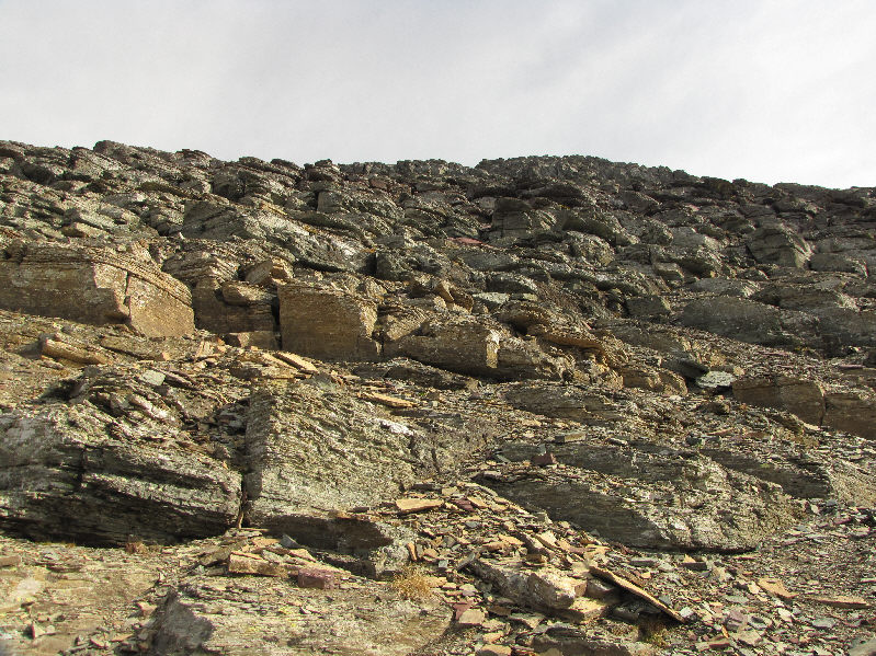
Above the upper cliffs, the remainder of the route is mostly Class 3 terrain. The view here is severely foreshortened. |
|
|
Sonny sits atop the 2939-metre summit of Going-to-the-Sun Mountain. |
|
|
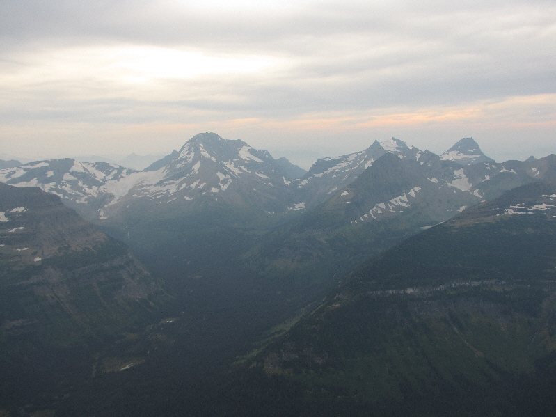
Mount Jackson, Gunsight Mountain, and Edwards Mountain are visible to the southwest. |
|
|
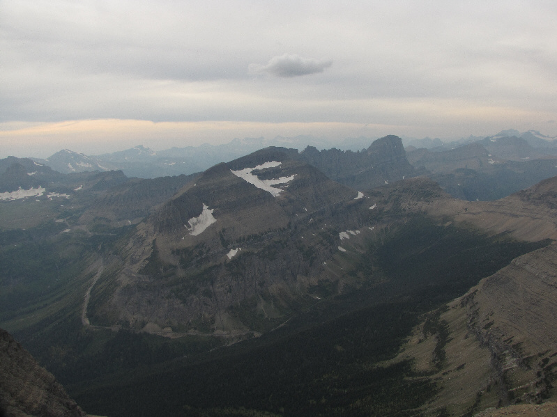
To the northwest are Piegan Mountain and Mount Gould. Siyeh Bend is visible below Piegan Mountain. |
|
|
As Edwards says in his guidebook, "Mount Siyeh obliterates the view to the north". |
|
|
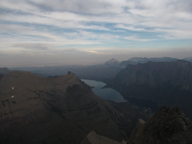
The eastern view includes Goat Mountain (left), Saint Mary Lake, and Red Eagle Mountain (far right). Also visible in the distance is Divide Mountain. |
|
|
This is the bottom of the diagonal chute as described in Edwards guidebook. |
|
|
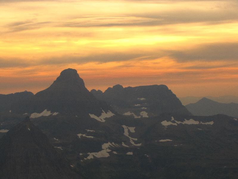
The sky over Reynolds Mountain and Bearhat Mountain starts to turn reddish late in the day. |
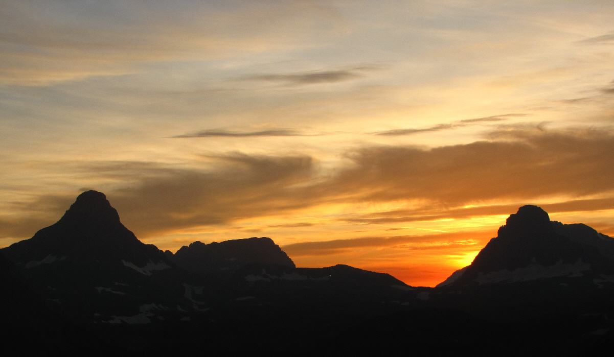
Reynolds Mountain (far left), Bearhat Mountain (left), and Clements Mountain (far right) are silhouetted against the western sky.
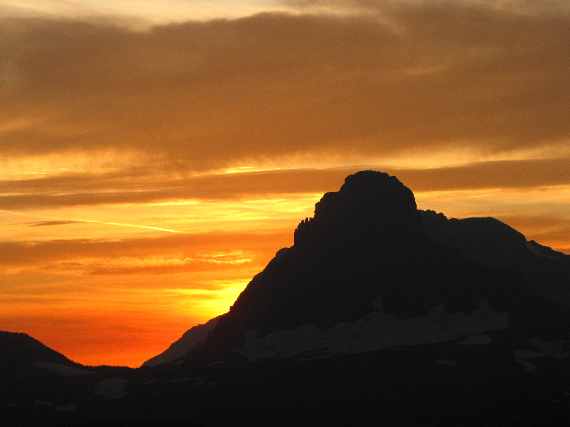 |
Here is a closer look at Clements Mountain. |
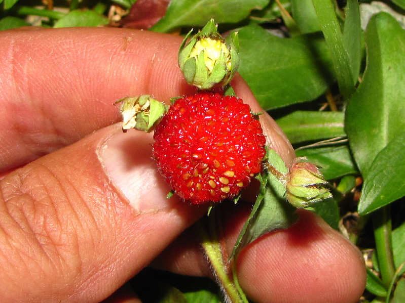 |
Sonny finds a rather large wild strawberry. |
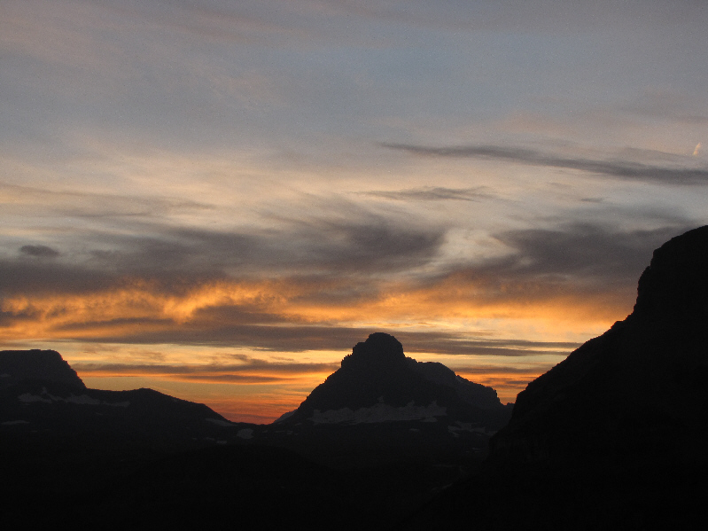 |
Twilight arrives in Glacier National Park. |
 |
Here is a last look at Clements Mountain. |
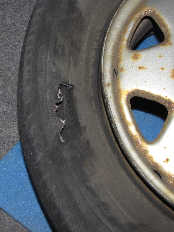 |
This is the aftermath of Sonny's collision on his drive home. |
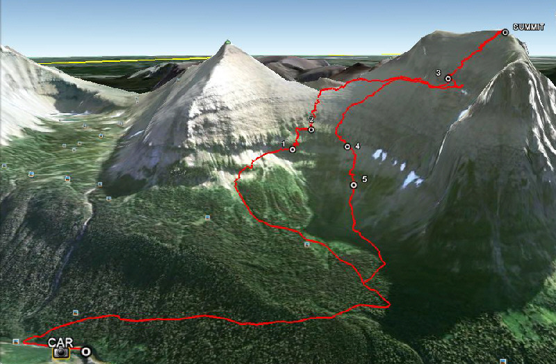 |
This is the route as viewed in Google Earth. Here is a key to the waypoints:
|
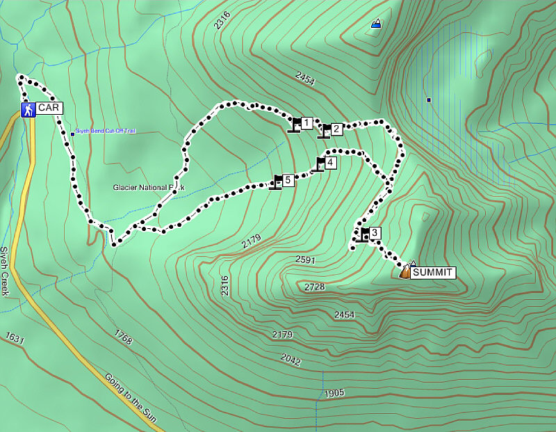 |
Total Distance: approx. 9.8 kilometres Round-Trip Time: 9 hours 9 minutes Net Elevation Gain: 1137 metres |