


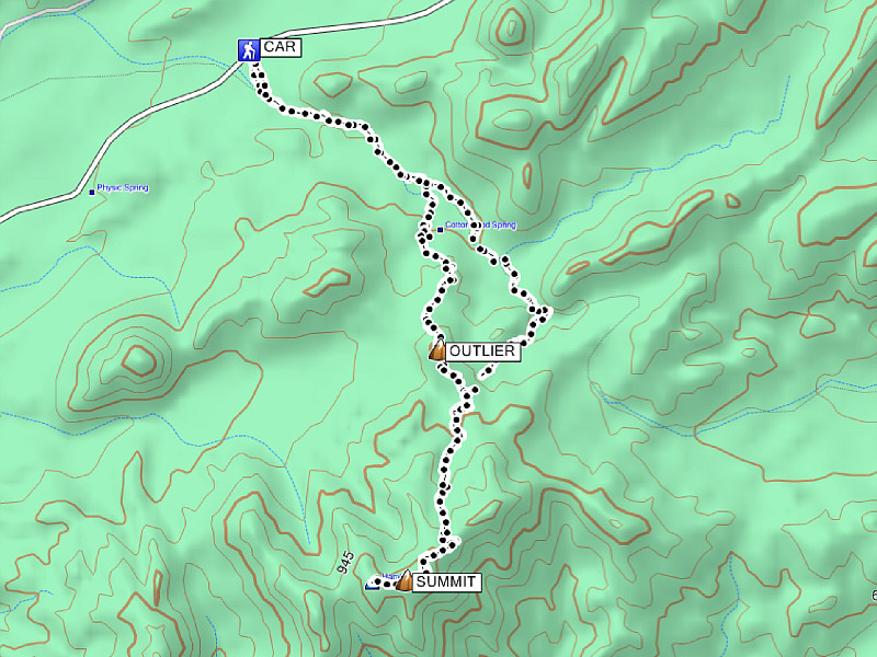
Total Distance: 13.0 kilometres
Round-Trip Time: 5 hours 42 minutes
Total Elevation Gain: 614 metres
|
|
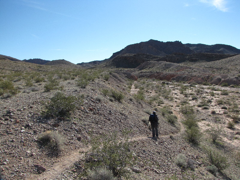
Kelly enters Cottonwood Wash near the beginning of the hike. |
|
|
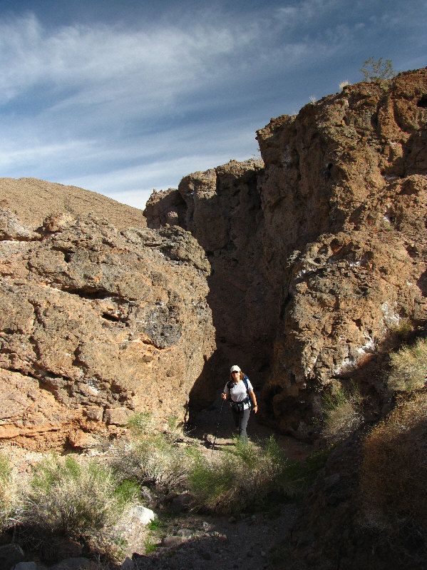
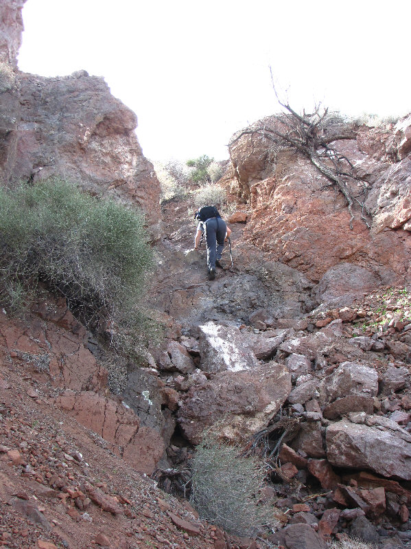
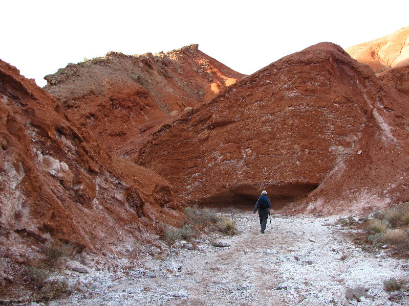
Kelly emerges from a narrow section of the wash. |
|
|
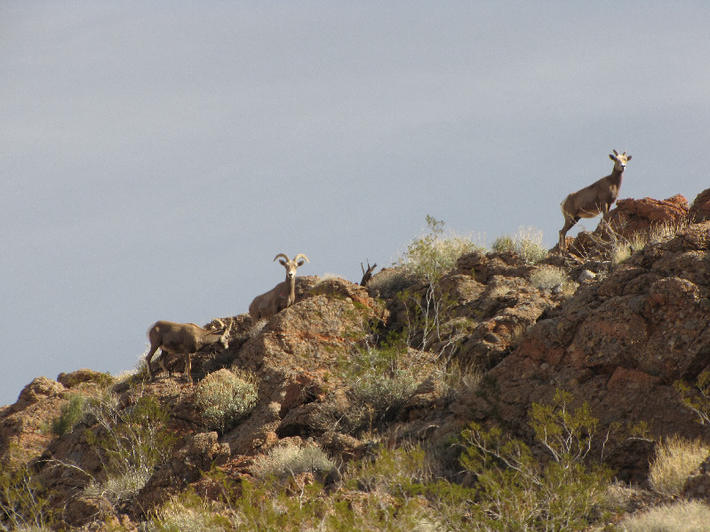
Some sheep graze on a ridge near Cottonwood Spring. |
|
|
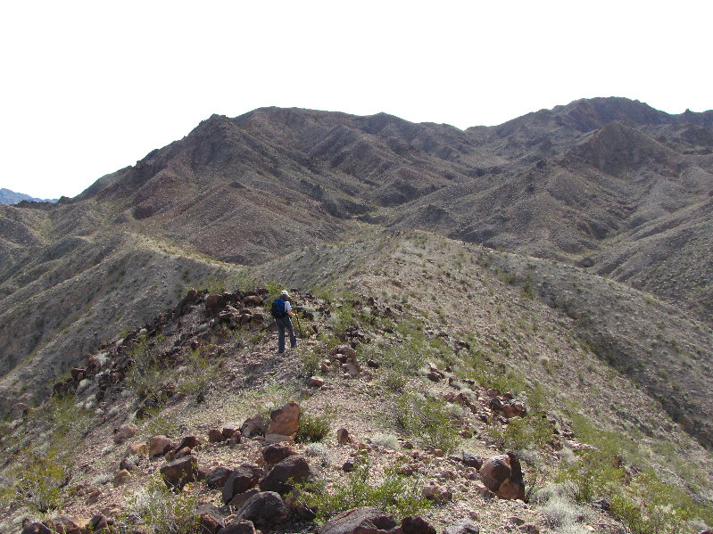
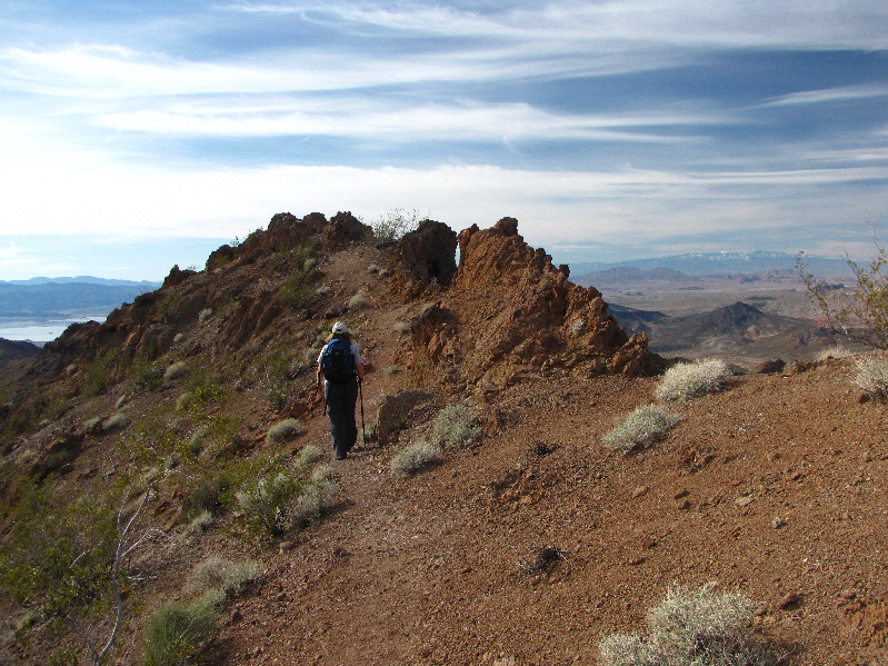
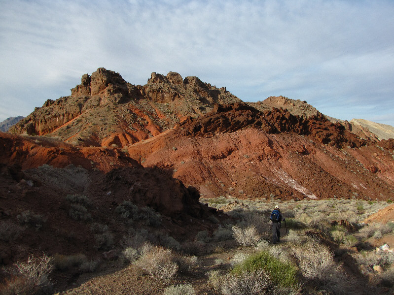
Despite being off-route, Kelly finds travel to be still easy. |
|
|
This is the view of Hamblin Mountain (upper right) from the outlier. |
|
|
Pinto Ridge is visible at centre on the horizon in this view east of the outlier. |
|
|
Back on the normal route, Kelly scrambles up a break in the cliffs. |
|
|
Kelly approaches the true summit of Hamblin Mountain. |
|
|
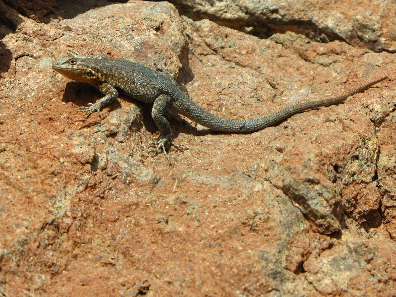
A side-blotched lizard basks in the warm sunshine. |
|
|
Kelly sits atop the 1003-metre true summit of Hamblin Mountain. Lake Mead dominates the view to the southwest. |
|
|
Hamblin Mountain West at left is only slightly lower than the true summit of Hamblin Mountain. At right is the lower peak which is designated as the official summit on Garmin's Topo USA 2008. |
|
|
This is looking back at the true summit from the lower peak to the west. |
|
|
Kelly and Sonny stand together on the true summit of Hamblin Mountain. |
|
|
To the northwest is Gass Peak. |
|
|
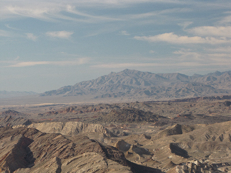
Muddy Peak (furthest right) is visible to the north. The Bowl of Fire (red rocks) is also visible. |
|
|
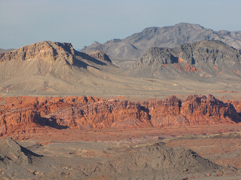
Here is a closer look at some of the cliffs in the Bowl of Fire. |
|
|
Pyramid Peak and Booth Pinnacle can be seen to the east. On the far horizon is Jumbo Peak. |
|
|
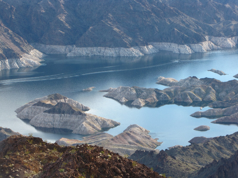
Here is a closer look at Lake Mead. |
|
|
This is a more comprehensive view to the south. |
|
|
Kelly hikes out along the normal route. |
|
|
Kelly continues down the wash. |
|
|
Kelly scrambles down the pour-over near Cottonwood Spring. |
|
|
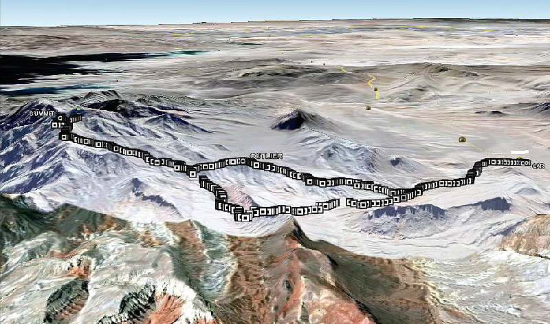
This is the route as viewed in Google Earth. |
|
|
Total Distance: 13.0 kilometres |