


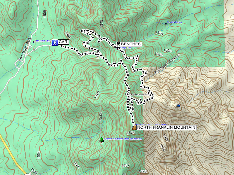
Total Distance: 10.3 kilometres
Round-Trip Time: 5 hours 20 minutes
Net Elevation Gain: 627 metres
|
|
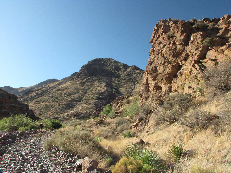
Kelly hikes along the rocky road near the beginning. North Franklin Mountain is barely visible on the skyline at left. |
|
|
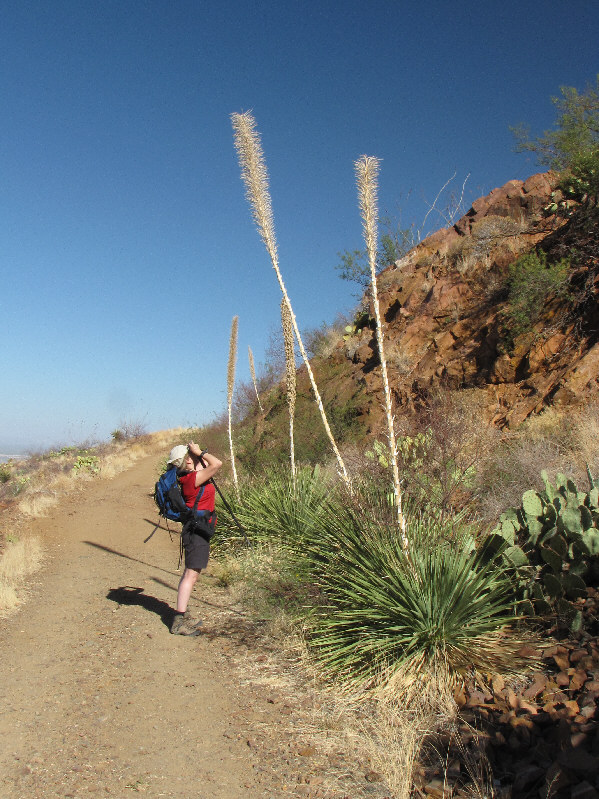
Kelly marvels at some roadside yucca. |
|
|
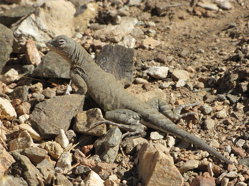
An earless lizard basks in the morning sunlight. |
|
|
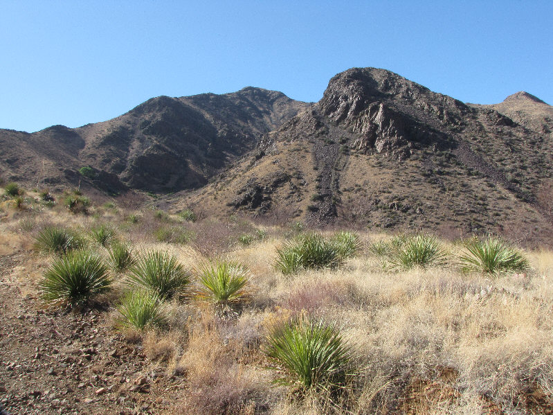
Here is a view of North Franklin Mountain (left of centre) from further up the road. West Cottonwood Spring is located behind the distant tree at far left. |
|
|
Another earless lizard crawls among the rocks. |
|
|
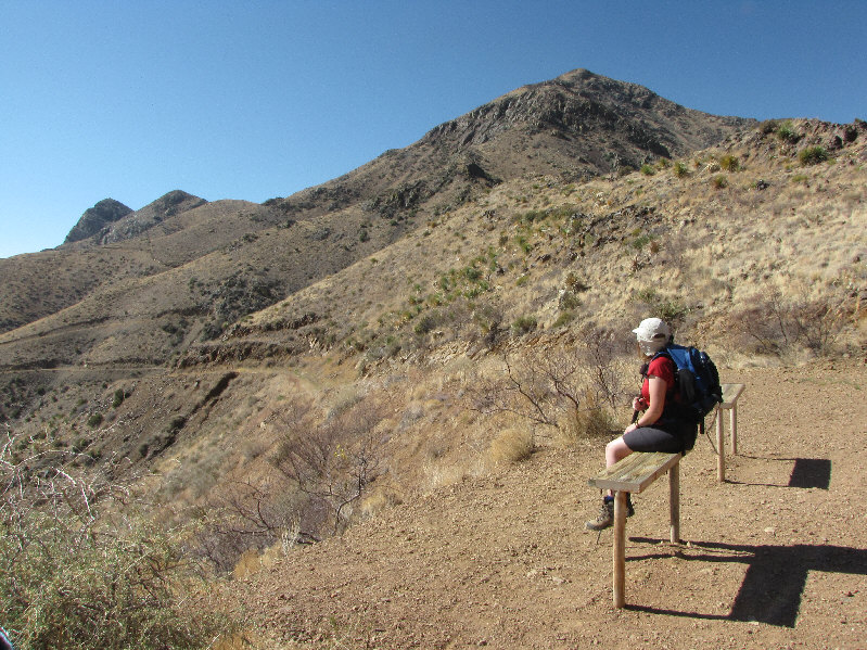
Kelly rests on a bench at Mundy's Gap. Above Kelly is North Franklin Mountain while Indian Peak is the last bump on the left. |
|
|
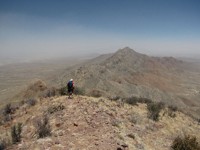
Kelly climbs up the road on the east side of North Franklin Mountain. Indian Peak dominates the background. |
|
|
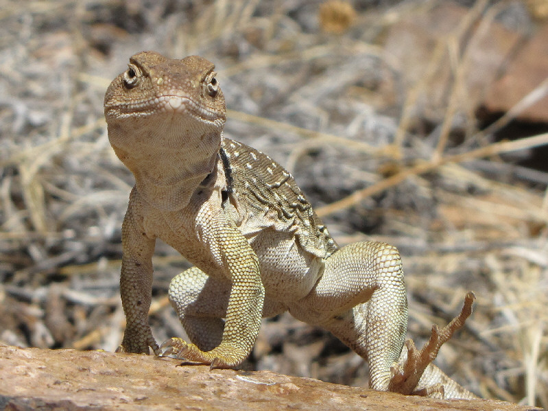
This earless lizard is much larger than the previous ones. |
|
|
Here is another look at the same lizard. |
|
|
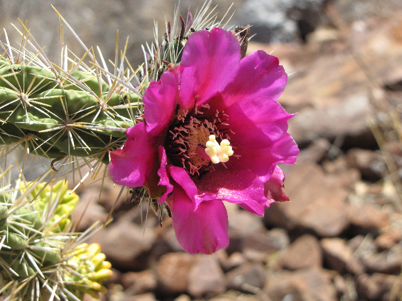
A flower from a cholla cactus is in full bloom. |
|
|
Kelly hikes the last section of road before the summit. |
|
|
Kelly and Sonny stand on the 2178-metre summit of North Franklin Mountain. |
|
|
The most prominent peak to the north is known as Anthony's Nose. |
|
|
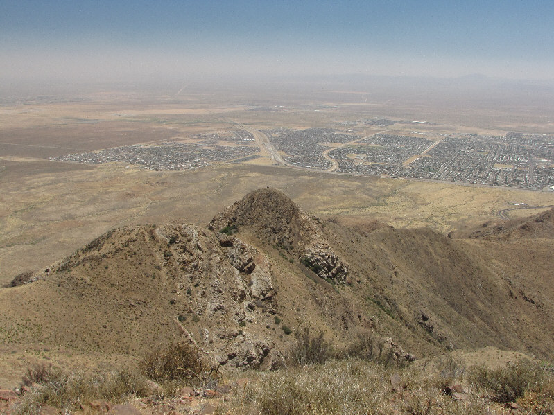
Northeast El Paso is sprawled out behind Indian Peak. |
|
|
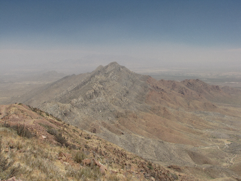
To the south is South Franklin Mountain. |
|
|
Kelly searches west El Paso for a glimpse of the Rio Grande. |
|
|
Kelly descends the north ridge of North Franklin Mountain. |
|
|
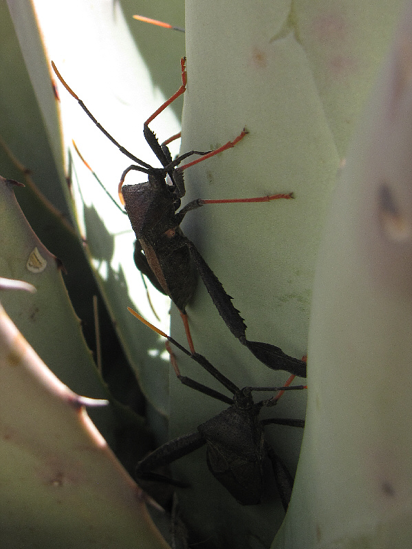
A couple of beetles hide from the hot sun in a yucca plant. |
|
|
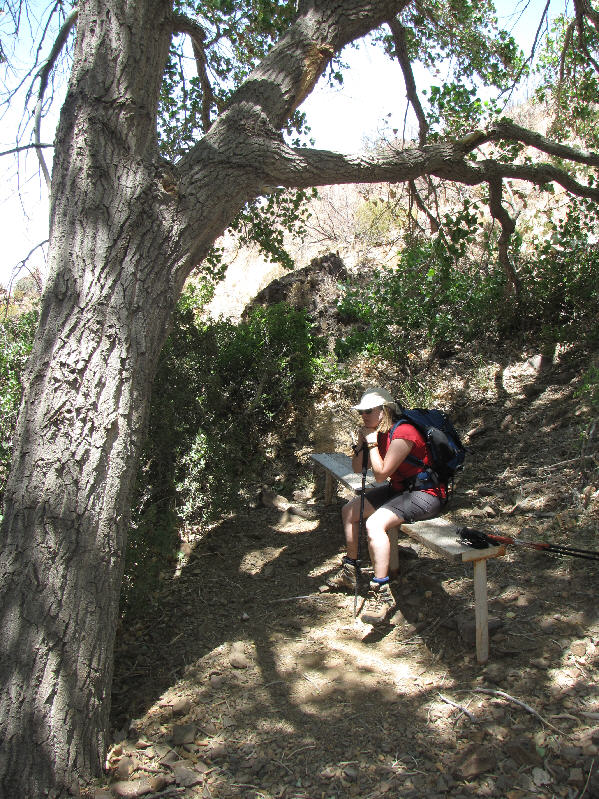
Kelly relaxes in the shade at West Cottonwood Spring. |
|
|
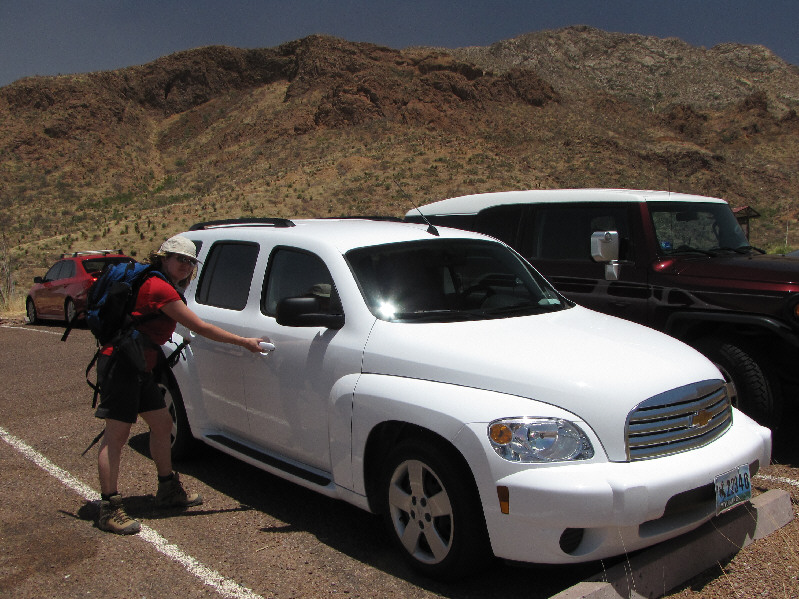
Kelly returns to the trailhead in the hot afternoon sun. |
|
|
Total Distance: 10.3 kilometres |