


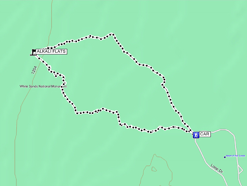
Total Distance: 8.7 kilometres
Round-Trip Time: 3 hours 6 minutes
Total Elevation Gain: 351 metres
|
|
Kelly snaps some photographs of the dunes. |
|
|
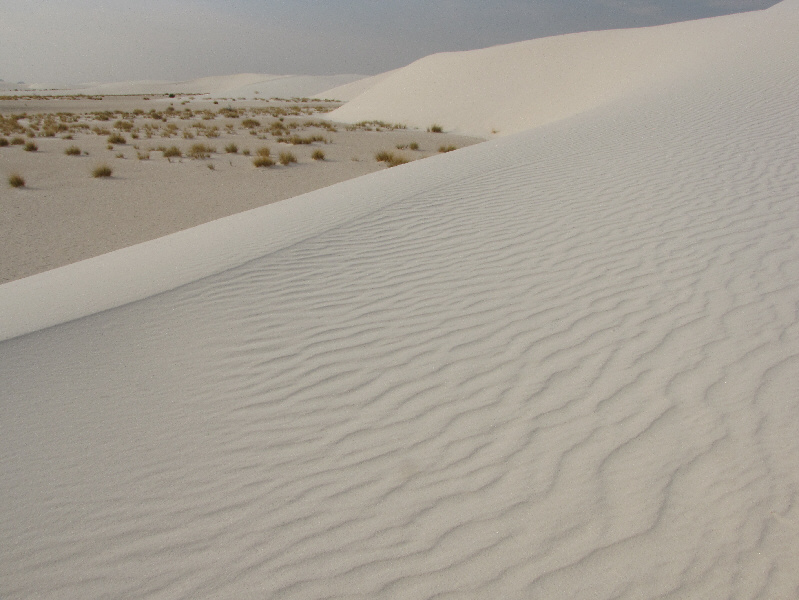
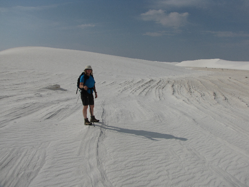
The sand is pristine on this morning. |
|
|
Kelly heads toward another marker. |
|
|
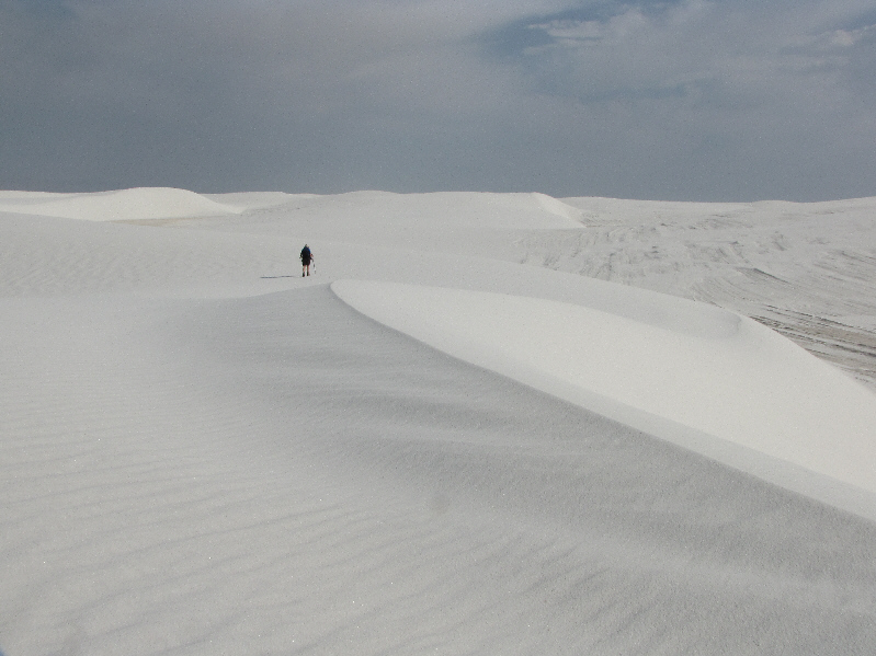
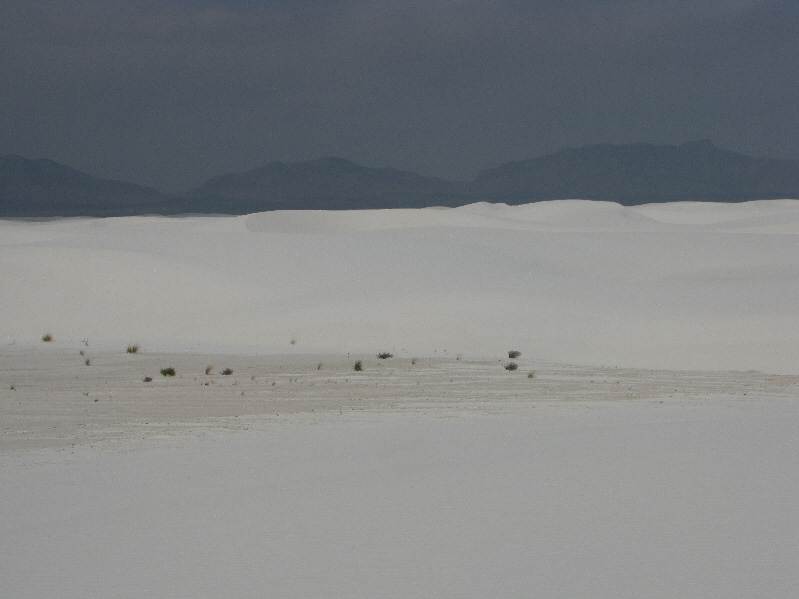
The dunes seem endless. |
|
|
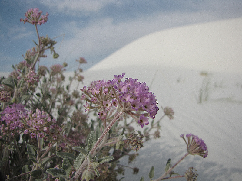
A few plants manage to survive in the interdune areas. This is Sand Verbena, one of the hardiest wildflowers in the park. |
|
|
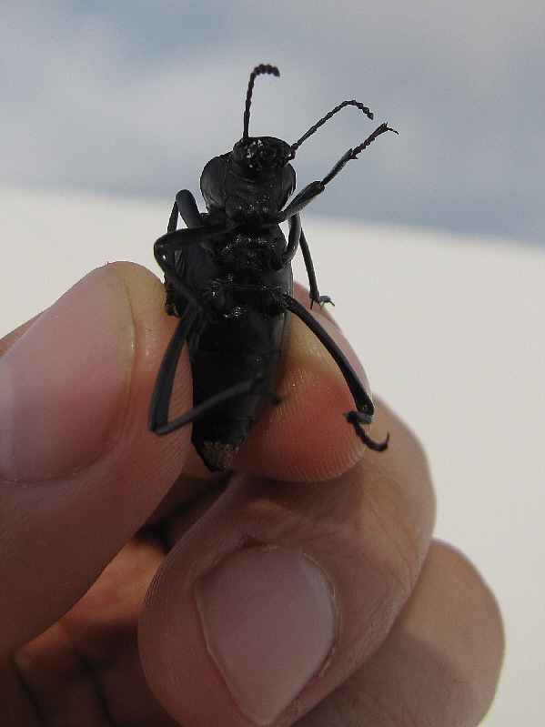
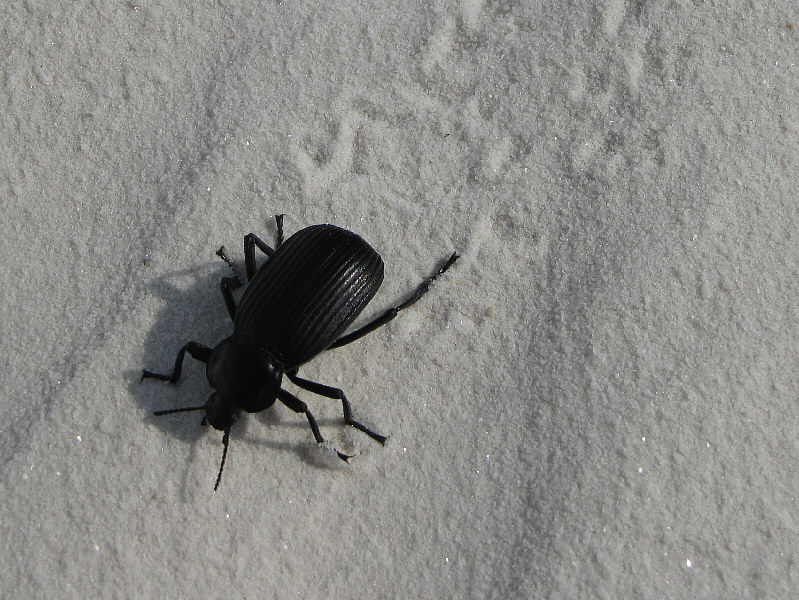
Only a handful of creatures manage to survive in the dunes, and this is one of them, a darkling beetle. |
|
|
Kelly keeps hiking across the dunes. |
|
|
These striations in the sand are actually pretty hard. |
|
|
Kelly climbs up a dune. |
|
|
These appear to be beetle tracks. |
|
|
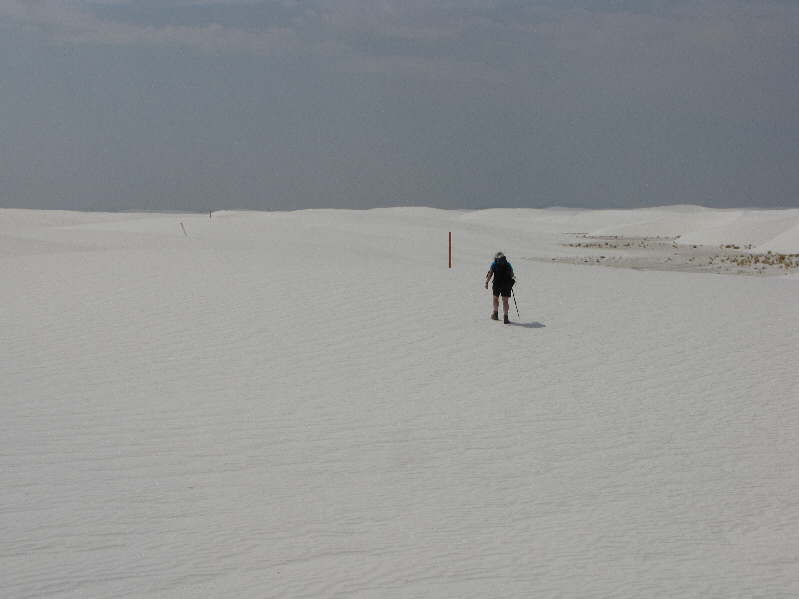
Kelly searches about for the next marker. A wind that has picked up is already obliterating Kelly's tracks. |
|
|
Here is another darkling beetle on the move. |
|
|
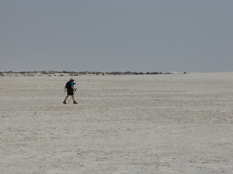
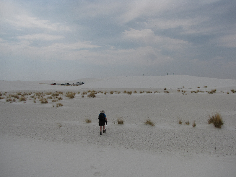
Kelly finally reaches the Alkali Flat at the edge of the dunes. Note the buildings on the horizon. |
|
|
The Alkali Flat was once covered by Lake Otero during the last Ice Age. |
|
|
These are known as transverse-barchan dunes, crescent-shaped dunes that join together to form long ridges. |
|
|
Kelly continues to follow markers on the return portion of the loop. |
|
|
Here is another look back at the seemingly endless dunes. |
|
|
Kelly returns to the trailhead. |
|
|
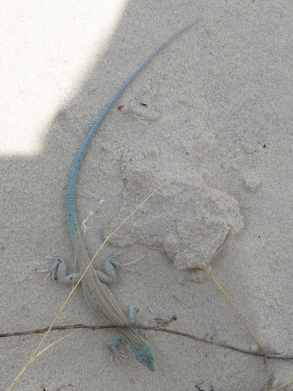
This earless lizard is remarkably active as it scurries around and underneath the Interdune Boardwalk. |
|
|
Total Distance: 8.7 kilometres |