


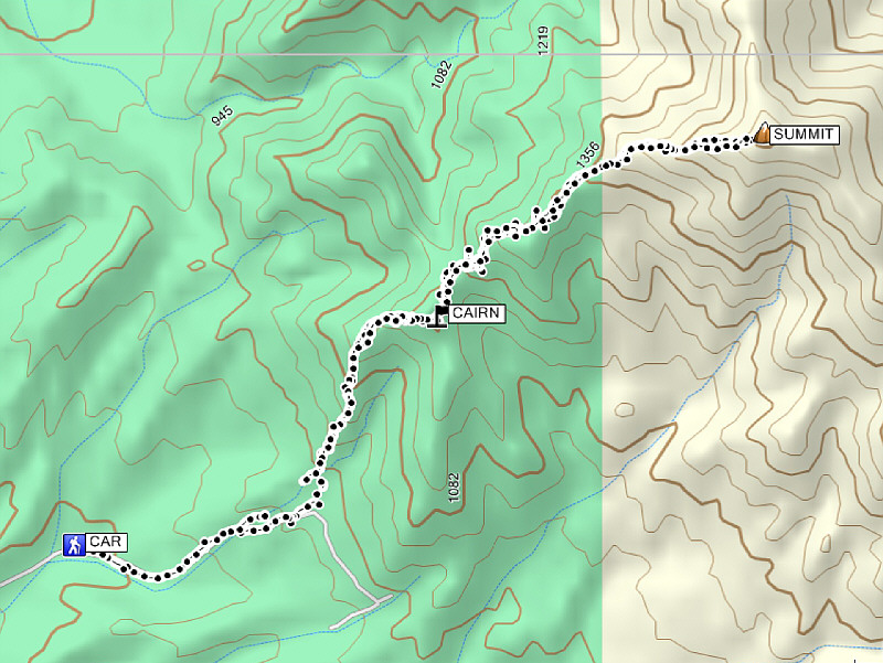
Total Distance: 11.4 kilometres
Round-Trip Time: 7 hours 11 minutes
Total Elevation Gain: 1016 metres
|
|
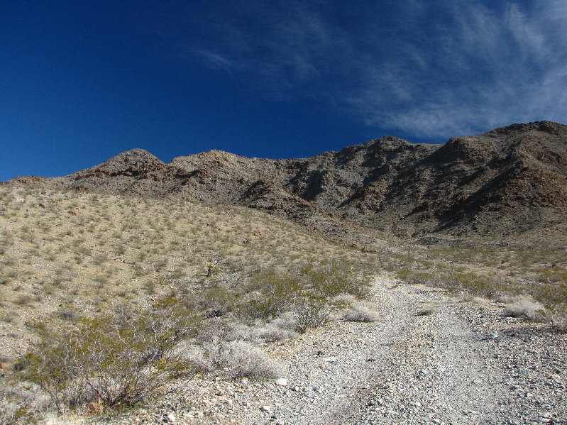
The Black Joe Mine Road runs right to the base of the west ridge of Mount Wilson. The summit is not visible here. |
|
|
This is one of the larger barrel cacti in the area. |
|
|
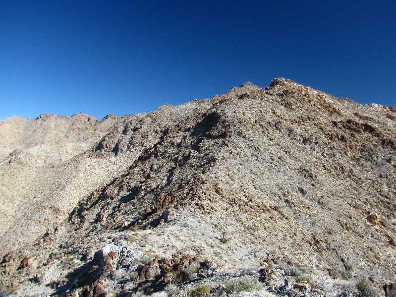
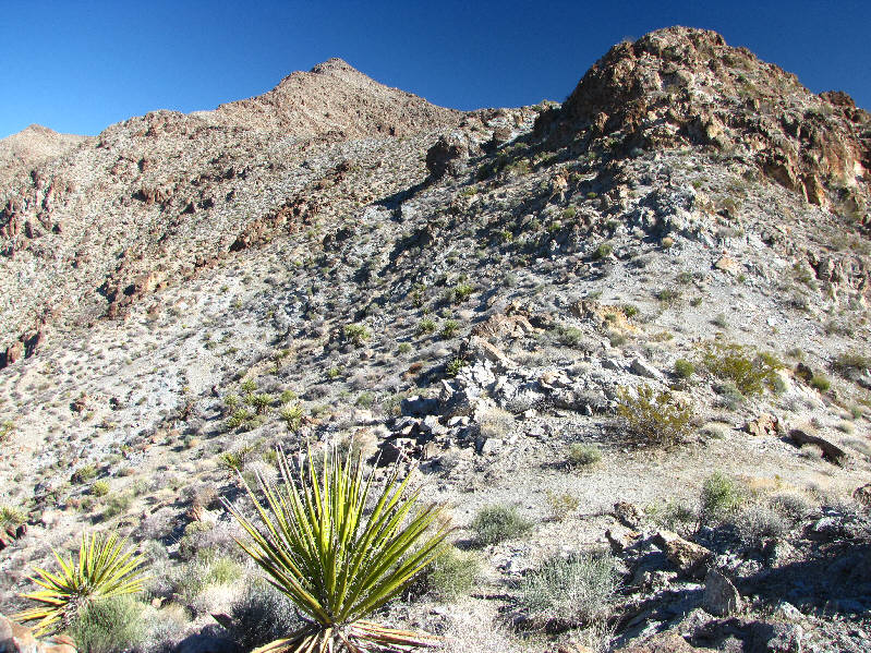
There are many bumps along the west ridge. |
|
|
The Mike O'Callaghan Pat Tillman Memorial Bridge (Hoover Dam Bypass) opened on 19 October 2010. O'Callaghan was a former governor of Nevada, and Tillman was an Arizona football player who was killed while serving with the US Army in Afghanistan. |
|
|
The summit of Mount Wilson finally comes into view. |
|
|
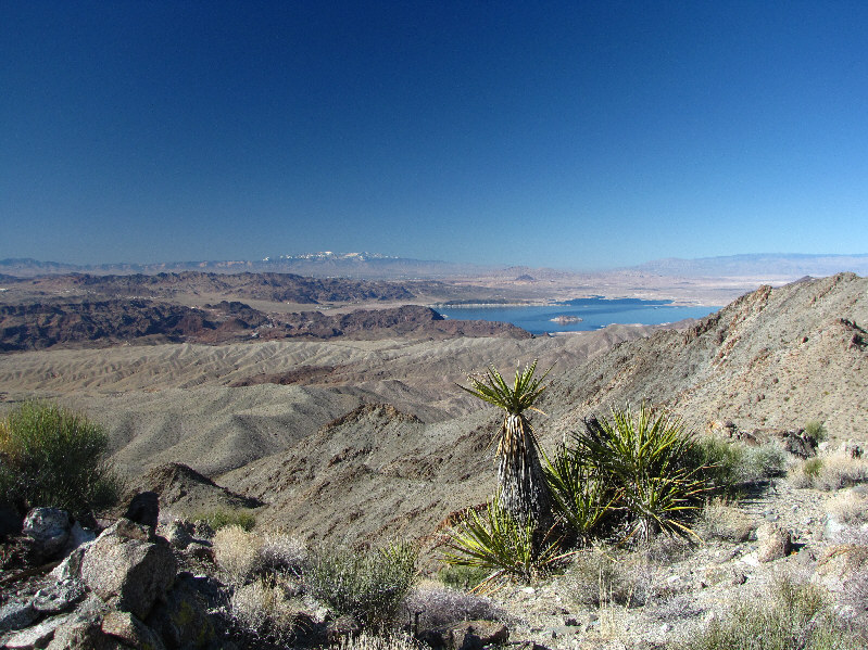
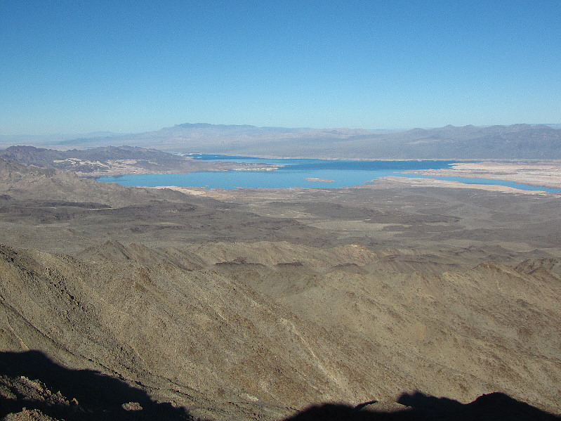
The snow-capped Spring Mountains and the Boulder Basin section of Lake Mead make for some eye-catching scenery to the west. |
|
|
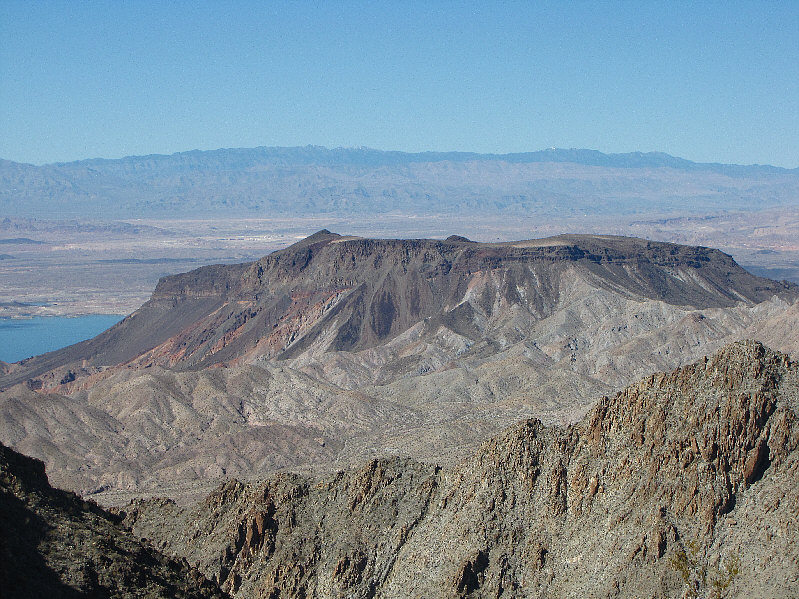
Fortification Hill is another prominent landmark near Lake Mead. |
|
|
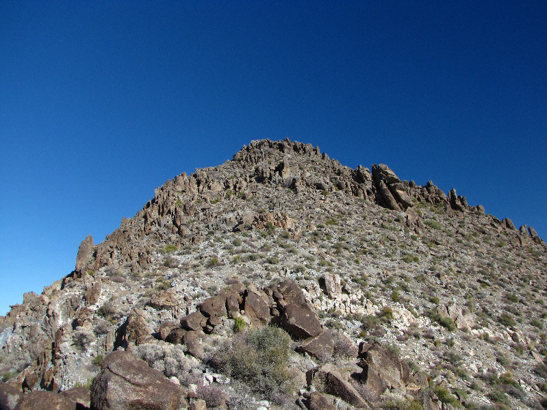
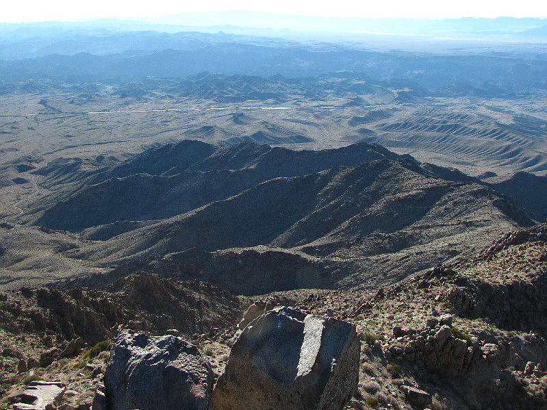
The west ridge is more complex than a map would indicate. |
|
|
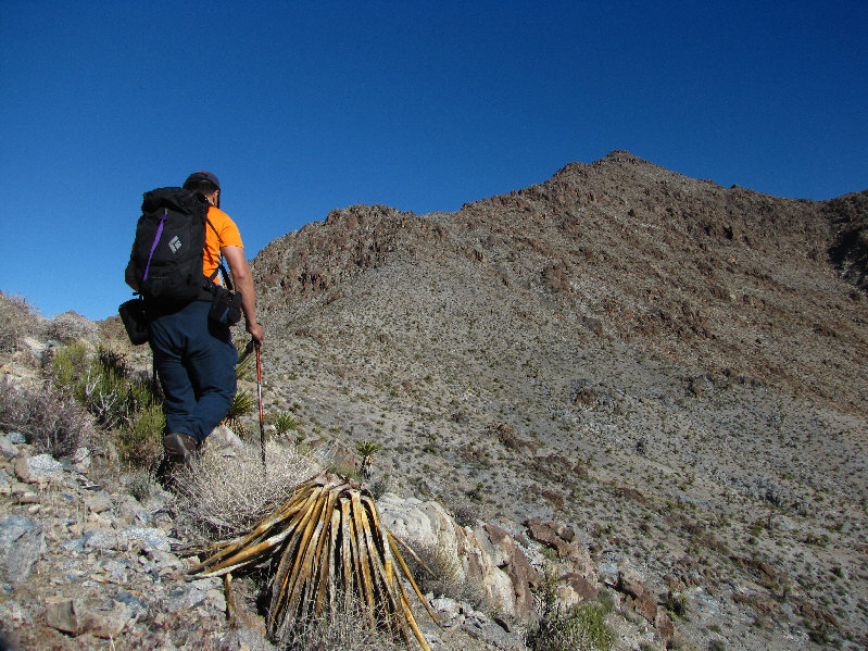
Sonny circumvents yet another bump along the west ridge. The true summit is further away than it looks in this photo. |
|
|
This is the final slope before the summit. |
|
|
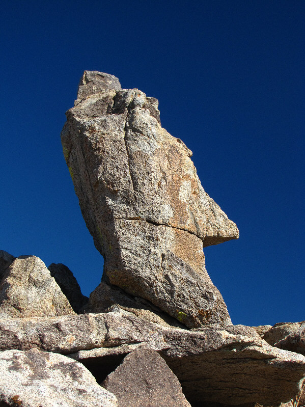
This pinnacle below the summit resembles one of the mysterious Easter Island monoliths. |
|
|
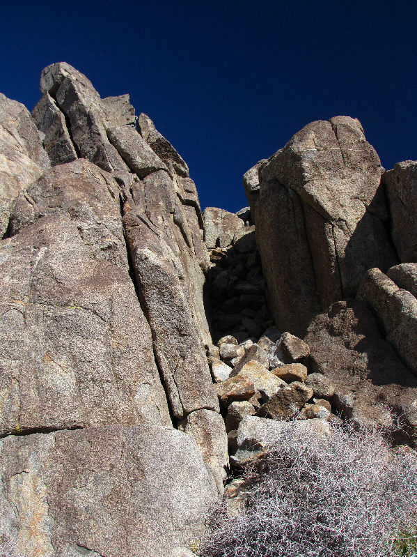
This chute provides access to the summit. |
|
|
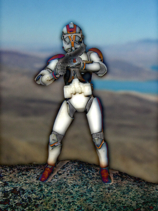
Sonny stands on the 1650-metre summit of Mount Wilson. |
|
|
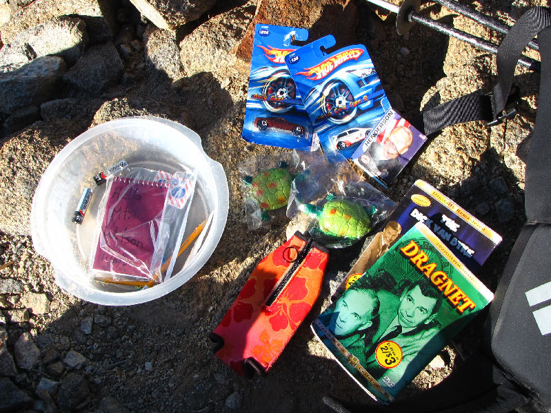
The summit register container is also a geocache. |
|
|
The Spring Mountains and Las Vegas are visible to the west. |
|
|
The northern high point of Wilson Ridge dominates the view to the north. |
|
|
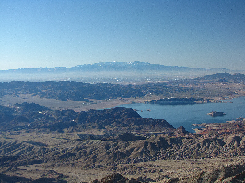
To the northeast is the part of Lake Mead known as Virgin Basin. Virgin Peak is also visible on the horizon at left. |
|
|
The southern half of Wilson Ridge stretches off to the distance at right. Detrital Valley is the flat expanse to the southeast. On the horizon left of centre is Mount Tipton. |
|
|
This is Mount Wilson's west ridge as seen from the summit. |
|
|
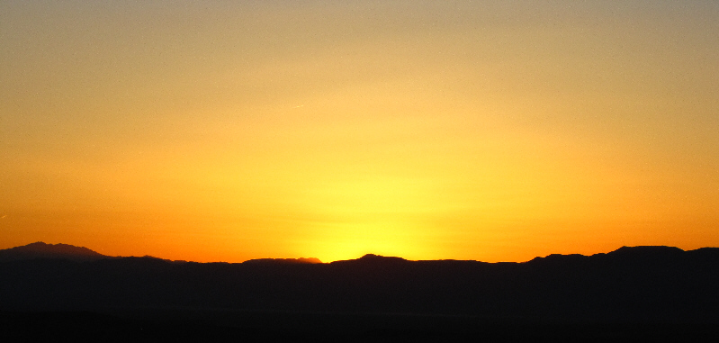
The sun disappears over the western horizon. |
|
|
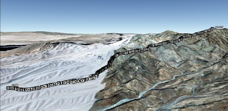
This is the route as viewed in Google Earth. |
|
|
Total Distance: 11.4 kilometres |