Twenty-five minutes
after I joined Paul at the summit, we were both retracing our steps back
down the mountain. The crux was slightly trickier to cross on the
way back because of the down-sloping ridge, but several other sections
along the summit ridge were equally if not more difficult to descend.
When we reached the top of the huge scree slope, we were both expecting a
fast and easy downhill run, but our descent turned out to be more
troublesome than we would have liked. The rubble, though loose,
generally was poor for plunge-stepping, and numerous underlying
slabs--inconsequential during ascent--forced us to choose our lines of
descent carefully. After getting off the south face, we retrieved
our ditched items (that Coke tasted like heaven) before embarking on the
long trek back down the French Glacier and out French Creek. Again,
Paul's pleasant company helped alleviate much of the drudgery of the
return trip which was largely uneventful. A stop at Fortress
Junction for cold drinks on the drive home capped off a very tiring but
enjoyable day in the mountains. The spirit of Rick Collier lives
on.
|
|
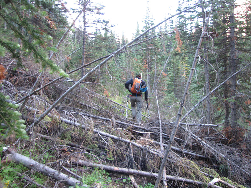
Deadfall such as this is quite common on the trail up French Creek. |
|
|
Paul emerges from the trees below the east face of Piggy Plus. |
|
|
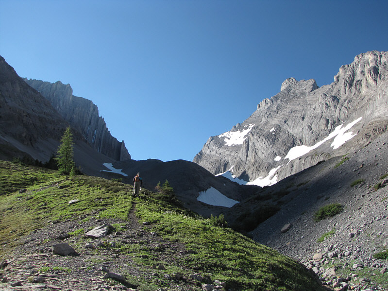
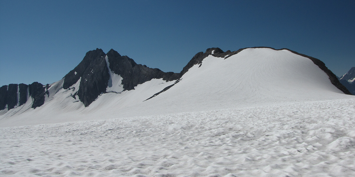
Here is the first glimpse of Mount French (left). On the right is Mount Robertson. |
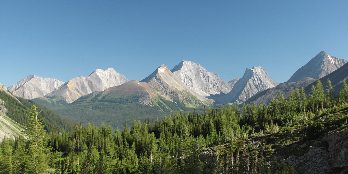
L to R are Mount Engadine, The Tower, Mount Galatea, Gusty Peak, and Mount Chester.
 |
Paul begins to descend from the lateral moraine as he heads directly for the French-Robertson col. |
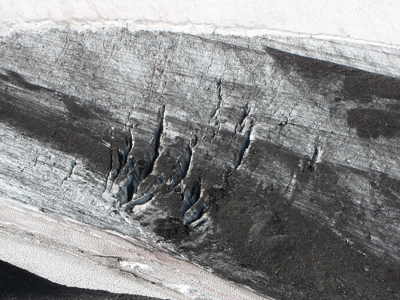 |
Some crevasses are exposed on the French Glacier. |
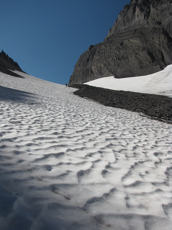 |
Paul trudges up a gentle snow slope. |
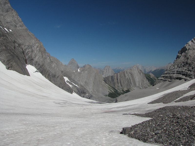 |
This is looking back down the French Glacier. The pointy peak just left of centre is Mount Birdwood. |
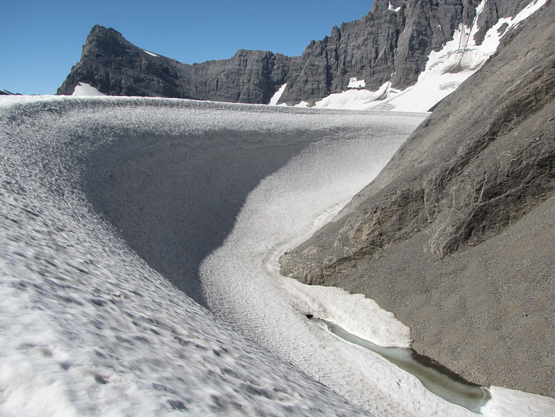 |
A small pond sits at the toe of Mount Robertson next to the Haig Icefield. |
Mount Maude (left) sits to the south of the Haig Icefield.
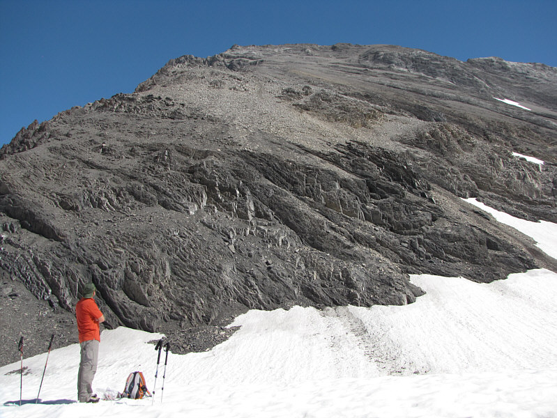 |
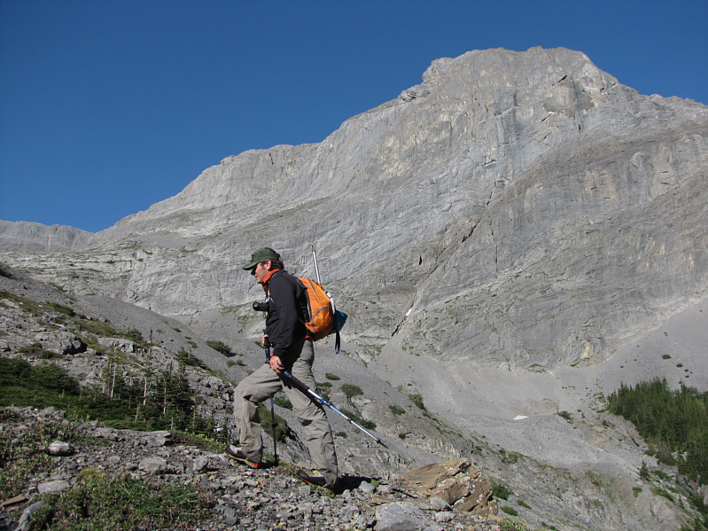
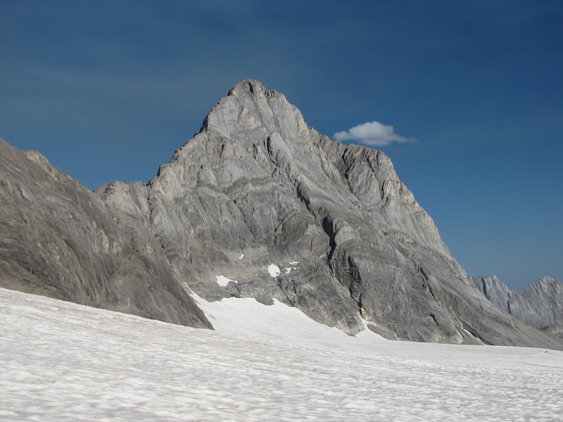
Paul studies the south face of Mount French. |
 |
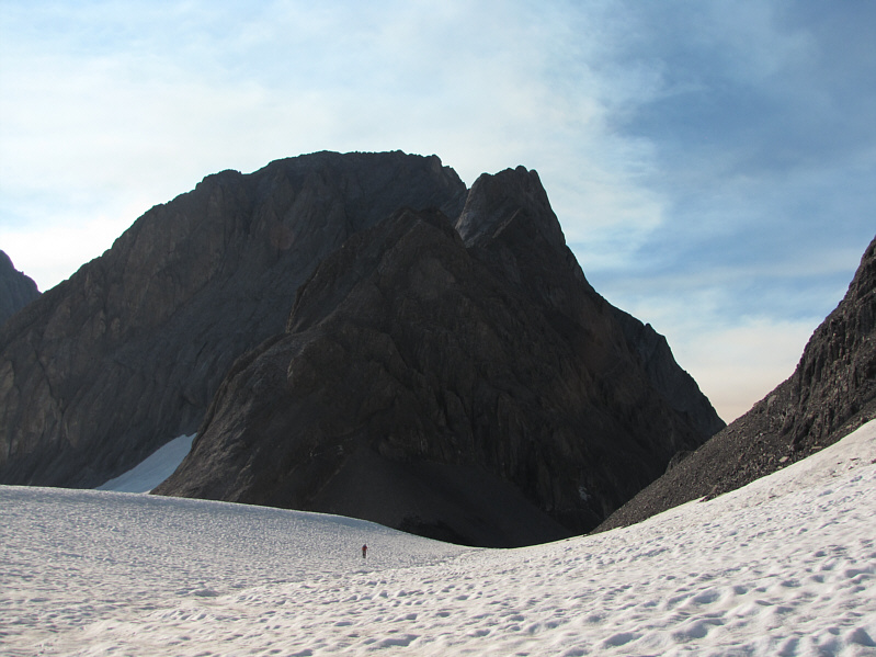
Looking impregnable from this angle are Mount Sir Douglas (left) and Mount Robertson. |
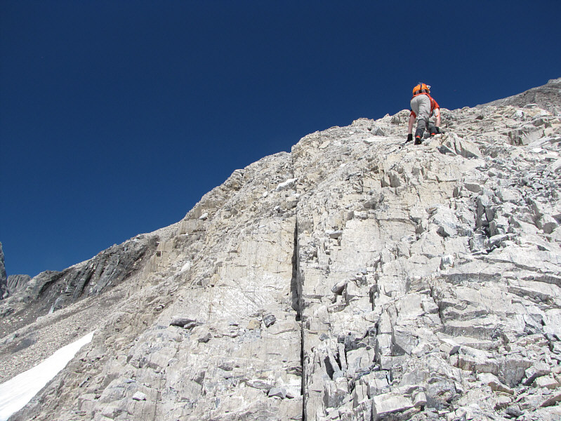 |
Paul tackles some easy rock bands near the foot of the slope. |
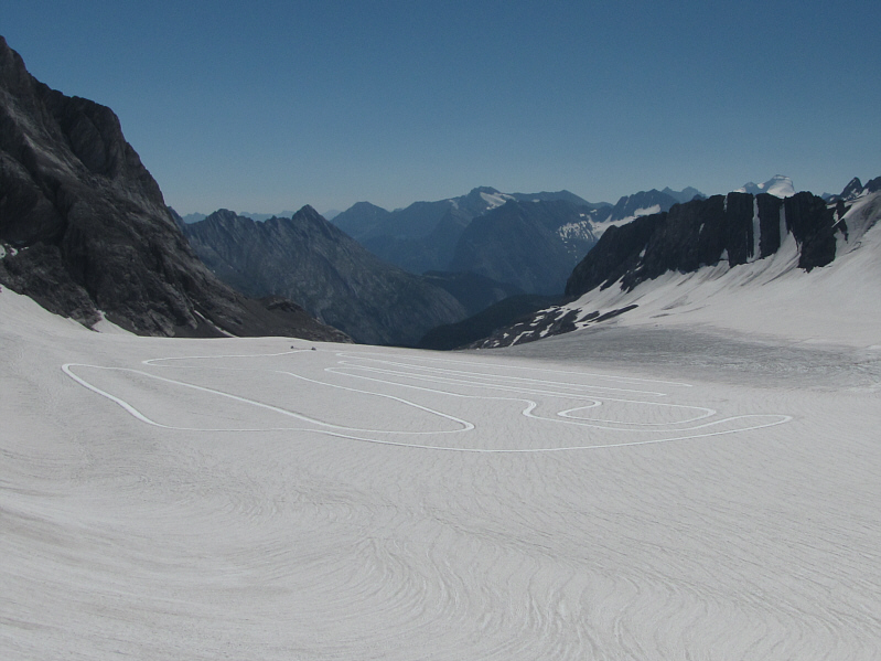 |
The Canadian national cross-country ski team trains on the Haig Icefield year-round. |
 |
The loose scree seems endless. Paul is barely visible in the distance. |
 |
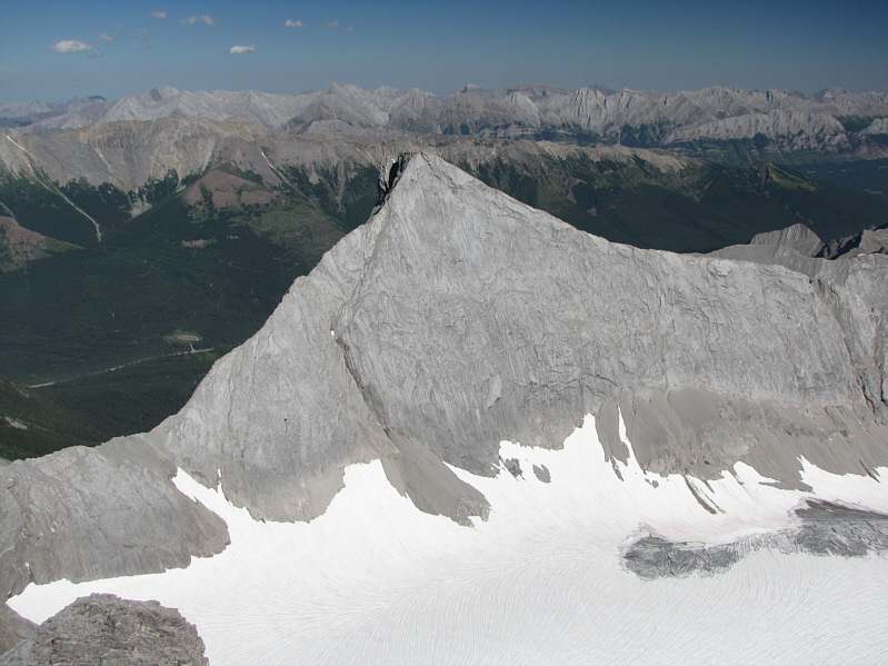
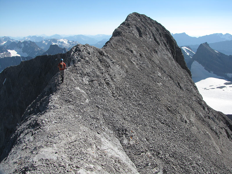
The summit ridge is every bit as complicated as it looks. The true summit is the bump at right just above the highest snow patch. |
 |
Getting across the first dip in the ridge appears to be somewhat complicated. |
 |
The crux and the summit block are just ahead. |
 |
The exposure on the west side of the crux is unforgiving. Paul is visible on the summit. |
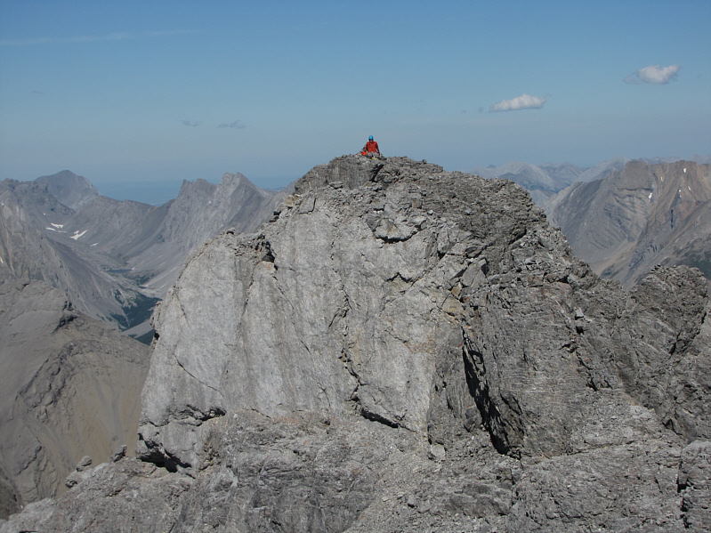 |
Paul sits on the summit like a spectating Buddha. |
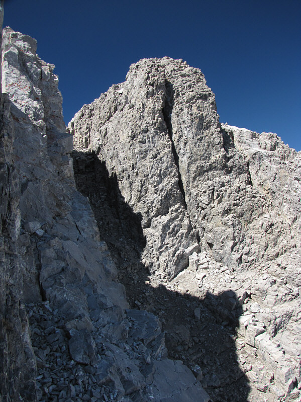 |
The final obstacle before the summit is this steep and dirty gully (in shadow). |
 |
Paul and Sonny stand on the 3242-metre summit of Mount French. |
 |
Smoke from a prescribed burn rises behind Mount Assiniboine to the northwest. |
 |
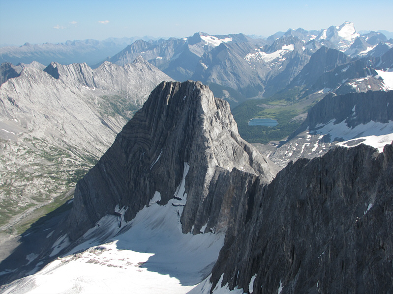
The outlier just north of Mount French has an incongruous unofficial name--Prairie Lookout! |
 |
Mount Smith-Dorrien dominates the view to the east. |
 |
To the south is Mount Jellicoe. Also visible are Lawson Lake and Mount Joffre (upper right). |
 |
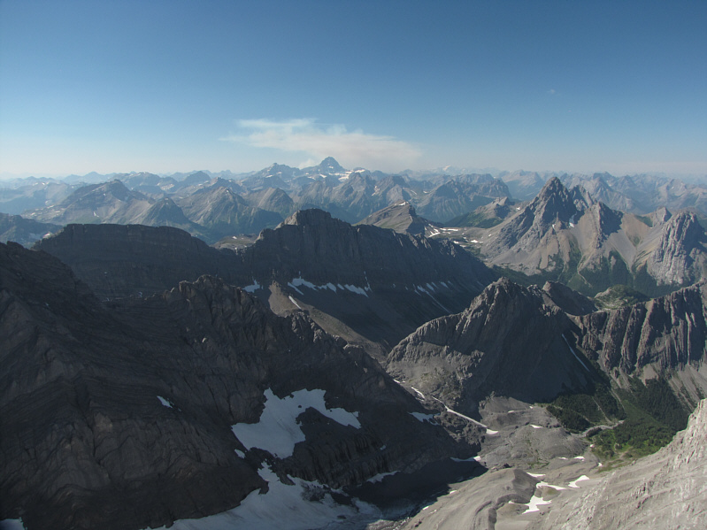
This is looking back at the convoluted summit ridge of Mount French. On the distant horizon at centre is Mount King George. |
 |
The exposure on the east side of the crux is only marginally more forgiving than the west side. |
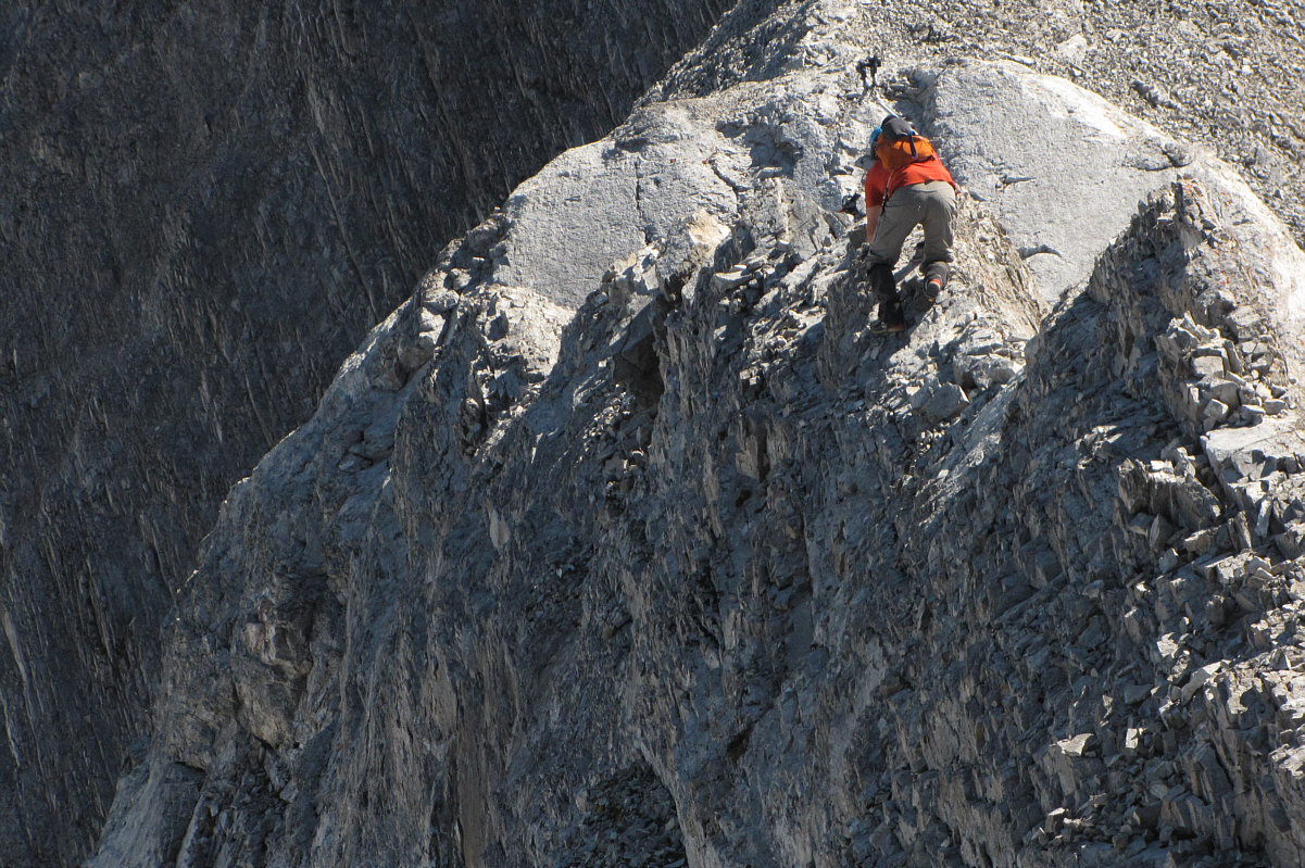
Paul descends the crux.
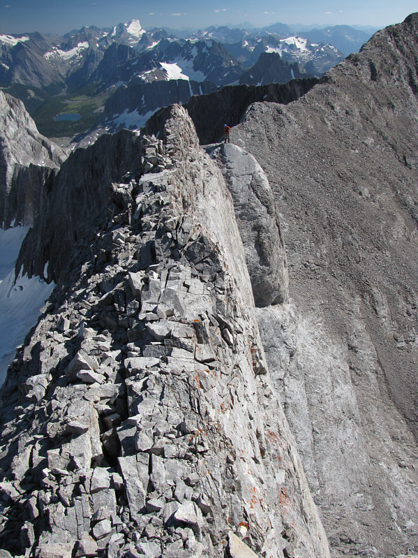 |
This photo gives a better perspective on the narrowness of the crux. Paul is safely across the other side. |
 |
Paul retraces his steps along the summit ridge. |
 |
Mount Jellicoe looks brilliant late in the day. |
 |
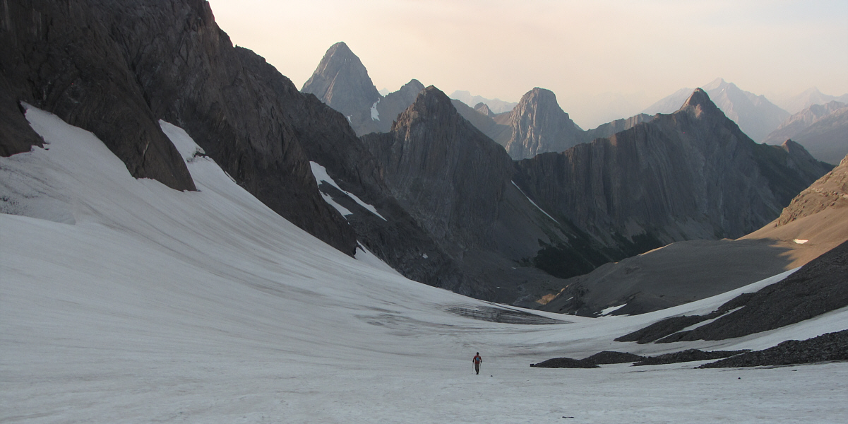
Mount Robertson appears ominous as Paul leaves the Haig Icefield behind. |
Paul hikes down the French Glacier.
 |
After 13.5 hours on the move, Paul still looks refreshed and ready to climb some more! |
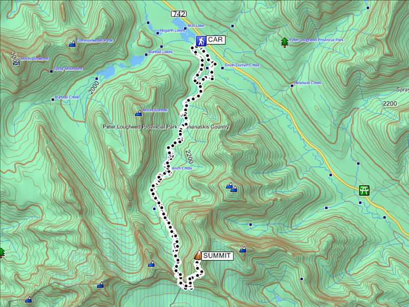 |
Total
Distance: 20.0 kilometres (approximate) Round-Trip Time: 13 hours 34 minutes Net Elevation Gain: 1438 metres |