


Round-Trip Time: 5 hours 20 minutes
Net Elevation Gain: 612 metres
Be sure to check out Bob's trip report
here.
|
|
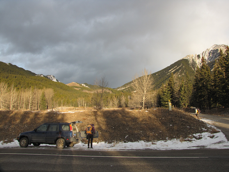
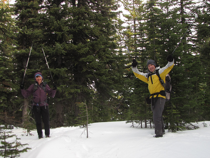
Dinah gears up beside the highway. GR658880 is barely visible behind the tree just left of centre. |
|
|
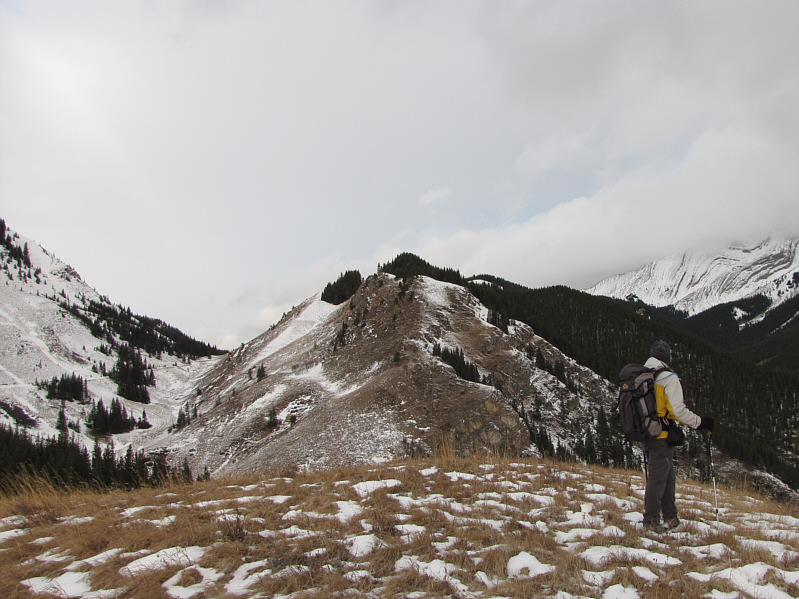
Bob surveys the ridge from a grassy knoll. |
|
|
From the grassy knoll, Mount Burke is visible at distant right. |
|
|
Dinah tramps up the road. The snowy ramp at right is probably the best route to access the ridge. |
|
|
Dinah climbs up a grassy slope to access the ridge. |
|
|
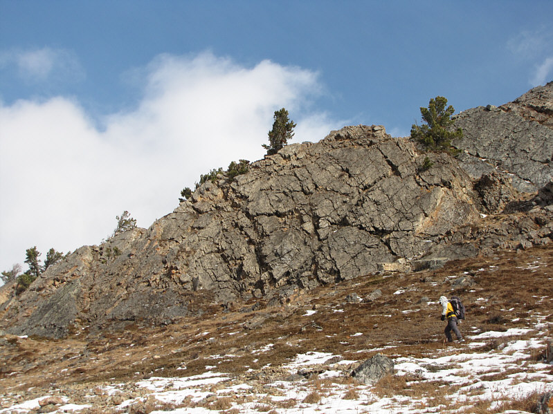
Bob hikes past some impressive slabs of rock. |
|
|
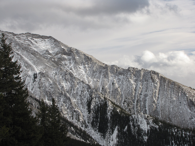
This is the east face of Junction Hill. |
|
|
Bob and Dinah make their way through the most challenging part of the ridge. |
|
|
Junction Hill actually looks like a full-fledged mountain from the north. |
|
|
Dinah continues up the ridge with no end in sight. |
|
|
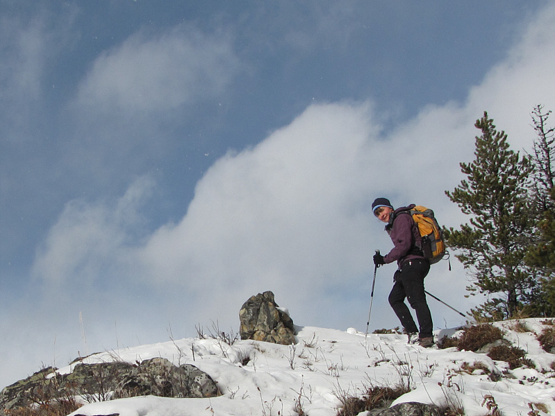
Any sunshine is much appreciated at this time of year when the days are short. |
|
|
The highpoint of GR658880 is somewhere in the trees up ahead. |
|
|
Dinah and Bob rejoice at reaching the 2224-metre highpoint of GR658880. |
|
|
Sonny also rejoices at reaching the highpoint...maybe a little too much! |
|
|
This is looking south from the bare side of the ridge. Junction Hill is at right. |
|
|
Here is a glimpse of Holy Cross Mountain from the ridge. |
|
|
Total
Distance: 13.6 kilometres Round-Trip Time: 5 hours 20 minutes Net Elevation Gain: 612 metres |