

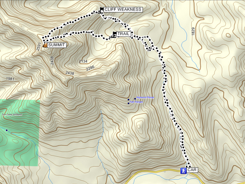
Total Distance: 15.9 kilometres
Round-Trip Time: 9 hours 35 minutes
Net Elevation Gain: 1210 metres
For the most part, I followed Nugara's suggestion to ascend the northeast ridge and descend the east face, but the real crux of the trip is getting across the terrain between the trail and the scramble routes with the least amount of suffering. A flagged route which veers off the Gunnery Creek trail just beyond the pass is ill-defined and easy to lose in the trees. I eventually abandoned the flagged route and just bushwhacked up to Nugara's "grassy hill" which grants the first good view of Holy Cross Mountain's east face. From there, Nugara's description nonchalantly says to "drop down to the creek from the hill, cross the water, and then head up the other side through light forest." I found this to be much less trivial than it sounds as the banks on either side of the creek are very steep and not altogether easy to negotiate. With the long uninteresting approach, the bushy traverse over the hill and the exhausting grunt up to the rock band guarding the northeast ridge, I felt rather fatigued four hours into the trip and even began to wonder why I was not back in Calgary golfing instead! However, once I scrambled through the weakness in the rock band and began tackling the northeast ridge proper, I perked up considerably. I stuck close to the crest of the ridge throughout the ascent and relished scrambling up the handful of challenging cliff bands along the way. There was hardly a breath of wind as I reached the summit ridge, and I continued up to the summit without any trouble.
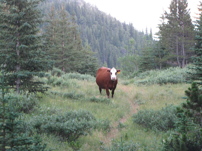
After a 45-minute break at the top, I started down the east face which, when snow-free, consists of numerous short cliff bands interspersed with tedious rubble. With no wind, the mosquitoes were maddeningly relentless here. I circumvented a sizeable drop-off near the bottom of the face on skier's left before veering over to the south edge of the basin below. I eventually picked up an excellent trail (plainly visible from the northeast ridge) which traverses a north-facing scree slope. This trail eventually leads to the flagged route I abandoned earlier, and if I were to do this trip over, this would be my preferred access to the northeast ridge as opposed to Nugara's route. Once I regained the Gunnery Creek trail, I thought that all difficulties were past until I ran into a herd of cows lumbering up the same trail toward me. An abundance of young calves along with their watchful mothers made me think twice about being bull-headed and plowing right through the lot, and I grudgingly endured a little more bushwhacking just to give the herd a wide berth. After regaining the trail with the cows behind me, I marched back to the trailhead without further issues.
|
|
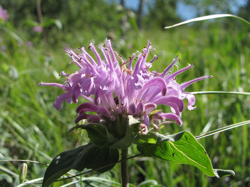
Among the many wildflowers blooming alongside the trail is this wild bergamot. |
|
|
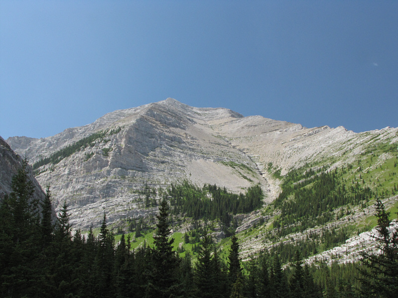
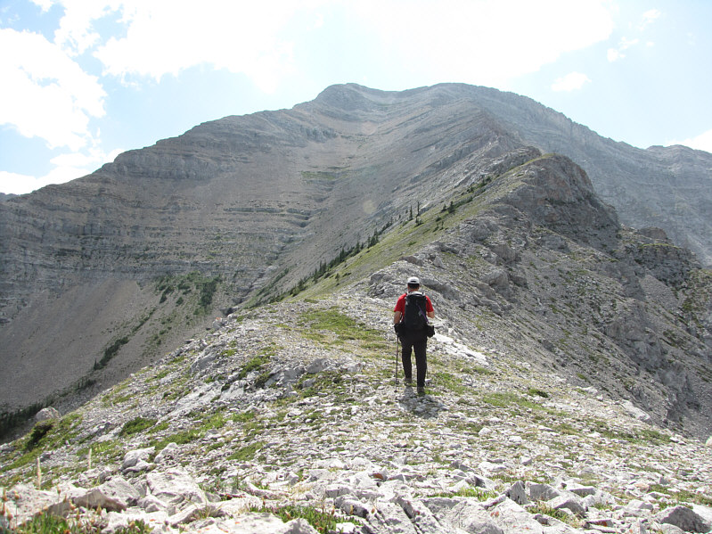
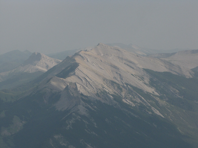
Here is the first view of Holy Cross Mountain's east face from the grassy hill. |
|
|
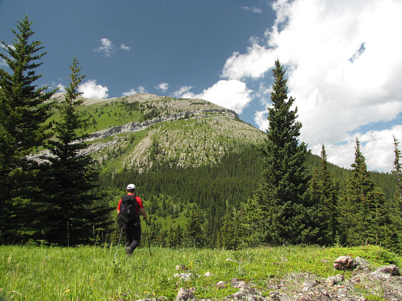
Sonny begins to drop down to an unseen creek from the grassy hill before climbing up the ridge on the other side. |
|
|
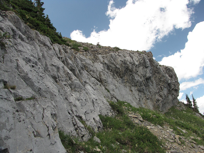
This is the weakness in the major rock band guarding the lower portion of the northeast ridge. |
|
|
After a lengthy approach, Sonny finally gains the crest of the northeast ridge. |
|
|
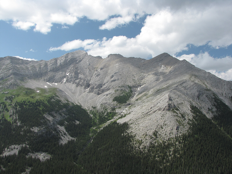
The hulking mass of Mount Head is hard to ignore to the north. |
|
|
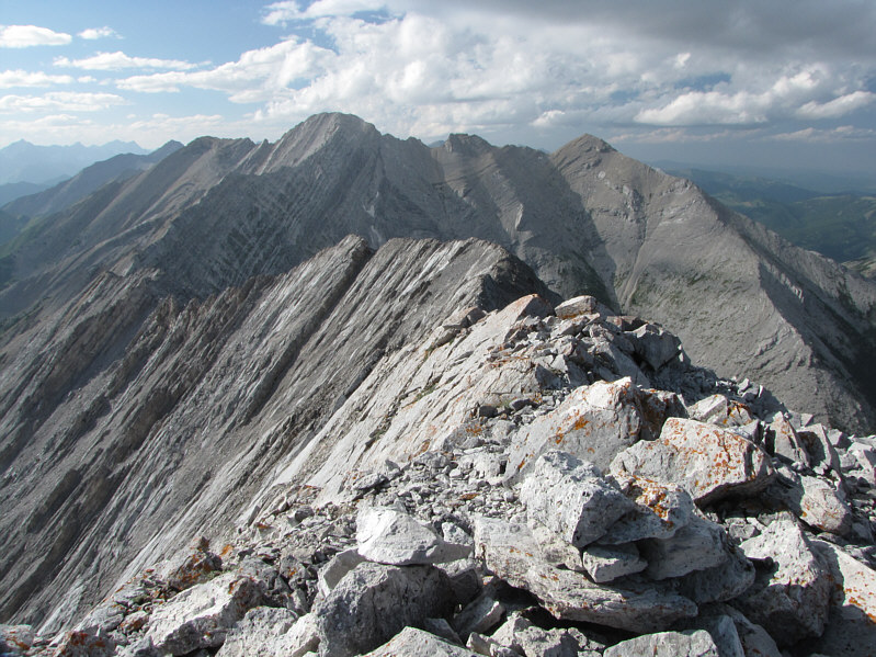
Some sections of the northeast ridge are quite challenging. |
|
|
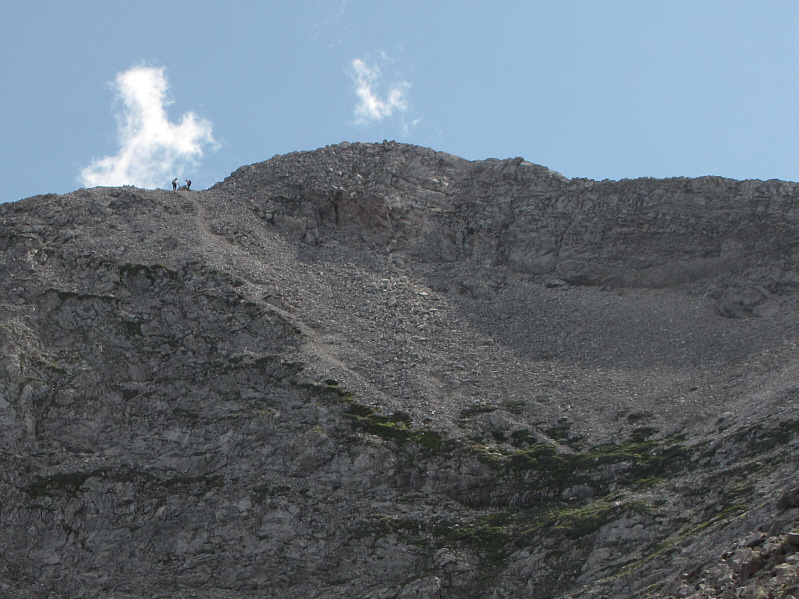
Two scramblers make their way down from the summit. |
|
|
Mount Head looks spectacular from this spot along Holy Cross Mountain's northeast ridge. |
|
|
Sonny gains the summit ridge of Holy Cross Mountain. |
|
|
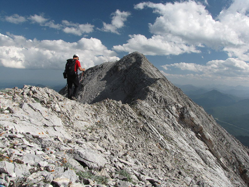
There are a few narrow and exposed sections just before the summit. |
|
|
Sonny basks in warm sunshine on the 2669-metre summit of Holy Cross Mountain. |
|
|
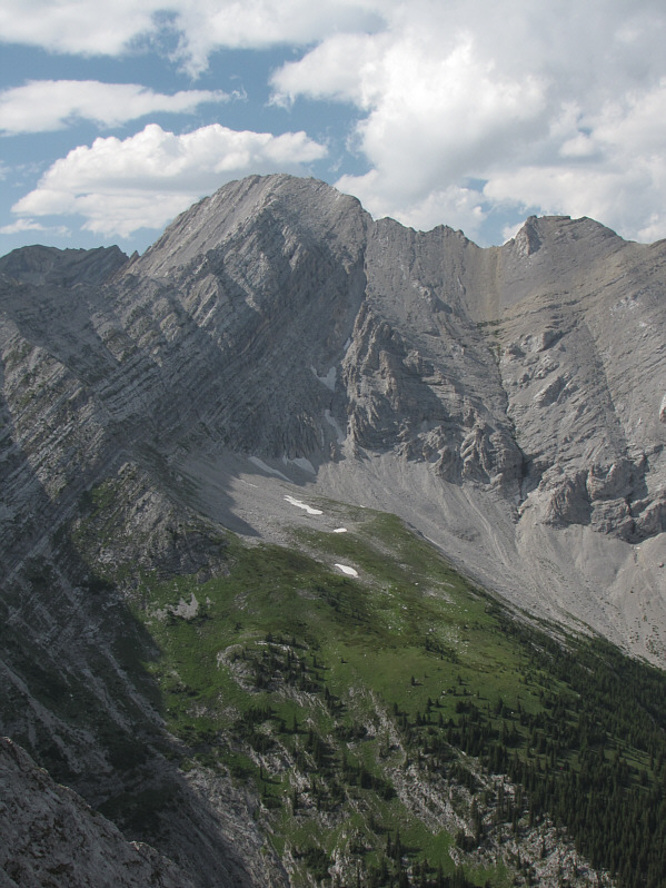
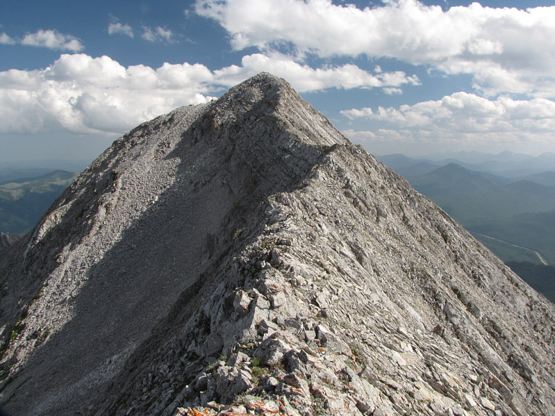
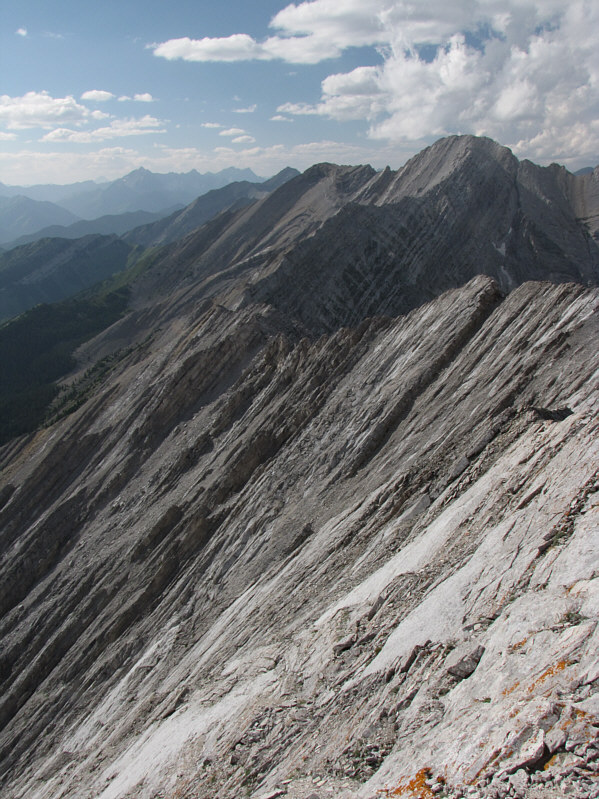
Here is the northeast ridge as viewed from the summit. |
|
|
Although Nugara has climbed Holy Cross Mountain via the southeast ridge, the route is not likely to become popular. |
|
|
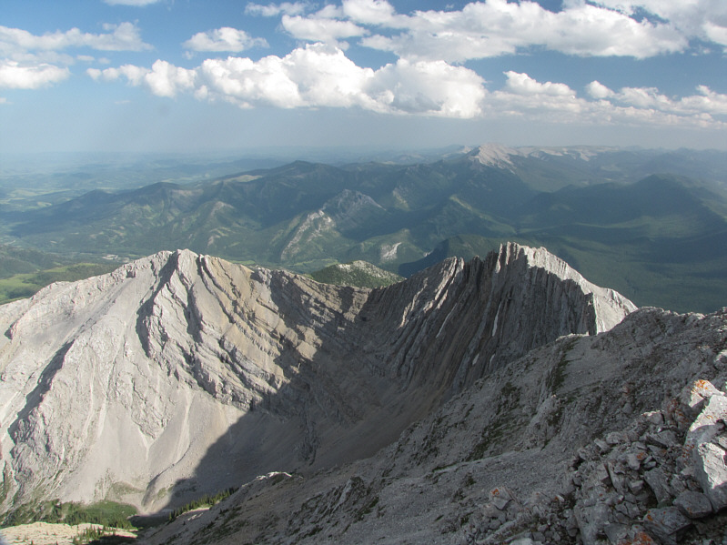
Further away to the southeast are Mount Burke (centre), Sentinel Peak (left), and Saddle Mountain (far left). |
|
|
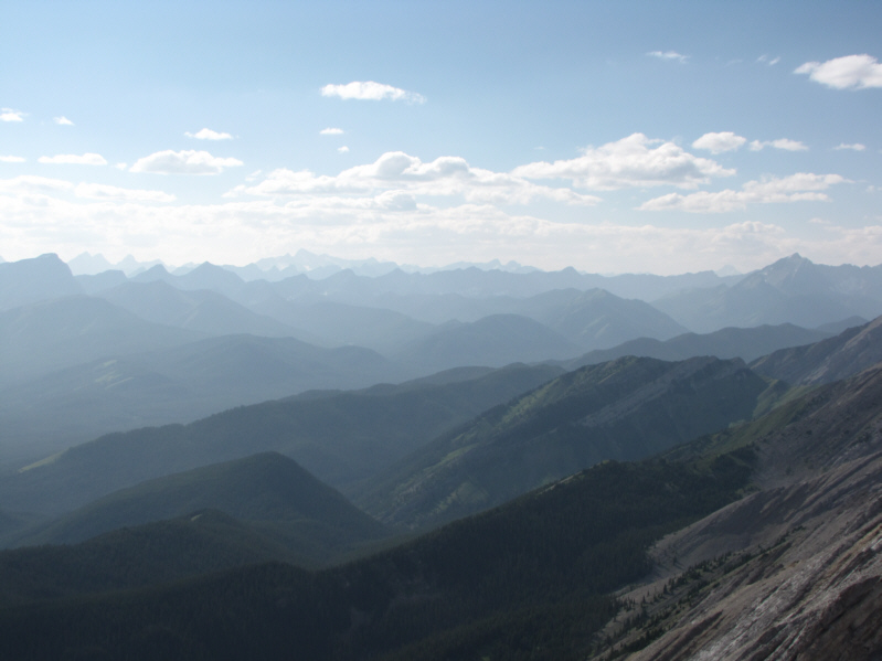
A sea of peaks stretch out into the hazy distance to the west. |
|
|
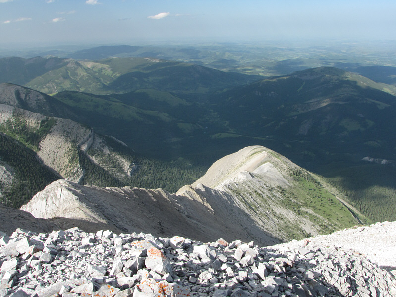
This is the connecting ridge to Mount Head. |
|
|
Here is a last look at the summit cairn of Holy Cross Mountain with Mount Head dominating the view to the north. |
|
|
A cow blocks the Gunnery Creek trail. |
|
|
Total Distance: 15.9 kilometres |