
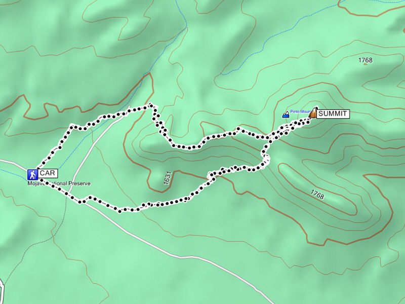
Our original plan on 13 October 2013 was to hike in California's Providence Mountains State Recreation Area (SRA), but after some discussion in our car during the long drive, we determined that the park was inaccessible (the SRA has actually been closed for several years). Luckily, Bob had a backup plan to climb Pinto Mountain in Mojave National Preserve which completely surrounds the SRA. Given the recent shutdown of the US government, we were not entirely certain that even the preserve was open, but seeing no signs or road closures on our way to the start of the hike, we assumed that the area was still open to the public. Besides, with the government shutdown, who would be there to tell us otherwise?
The route up Pinto Mountain is not overly complicated--mostly an off-trail hike up a wash and along an undulating ridge. The summit of Pinto Mountain is disappointingly flat--so flat that we were not even sure where the actual summit was. We wandered around a bit on the spacious plateau until we were satisfied that we had at least walked over the true high point. Just to be absolutely sure, we all climbed up a dead tree that was seemingly higher than anything else on the plateau.
For our return trip, we took a more direct route back by descending a moderately difficult cliff band and hiking cross-country over generally easy terrain. When we reached our car, we were surprised to find a National Park Service note on the windshield informing us that the entire area was closed to recreational use and that driving along the roads was only permitted for through traffic. Somewhat bemused by the irony of a non-functioning agency that was still dictating regulations, we had plenty to talk about on our drive back to Las Vegas.
More annoying than the note though were the countless insidious prickles that I picked up from hiking through the grasses and vegetation in the area. The woody prickles were very difficult to shake loose, and there were so many of them poking my ankles through my socks that the collection of individual stings just felt like one big dull ache. Dinah also complained about the prickles, but Bob seemingly had no issues. Back at my hotel, I easily spent a couple of hours meticulously pulling each individual prickle out from my socks and shoes. Days later, I would still find the odd one stuck in my socks.
Be sure to check out Bob's and Dinah's photos here.|
|
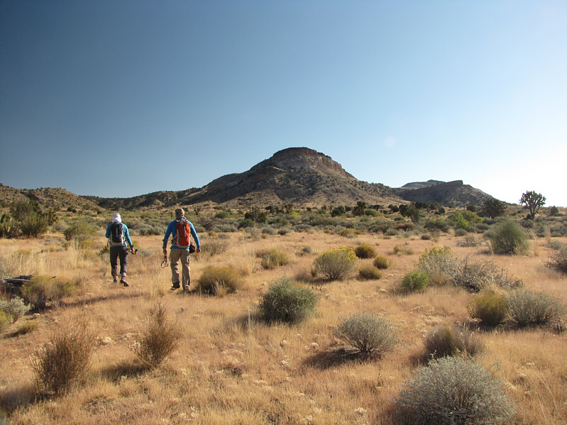
Dinah and Bob head for the wash in front of them. The summit of Pinto Mountain is not visible here. |
|
|
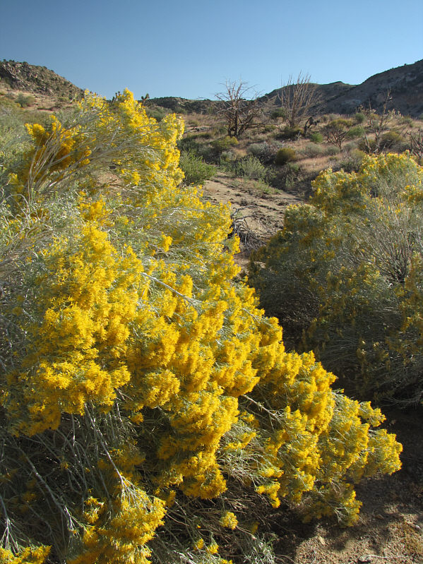
Blooming rabbitbrush are abundant in the wash. |
|
|
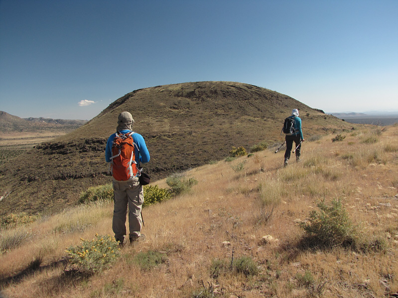
Bob and Dinah head for the open slopes at left. |
|
|
Dinah surveys the open terrain. The summit of Pinto Mountain is still not visible here. |
|
|
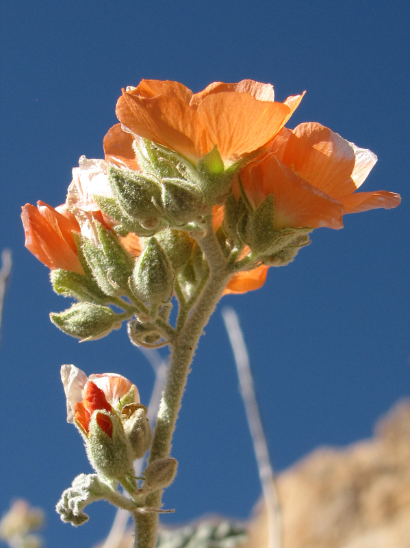
Globe mallows are very striking in the desert landscape. |
|
|
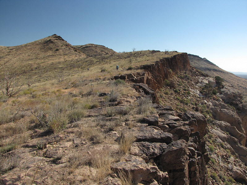
Bob and Dinah wander along the edge of an escarpment. |
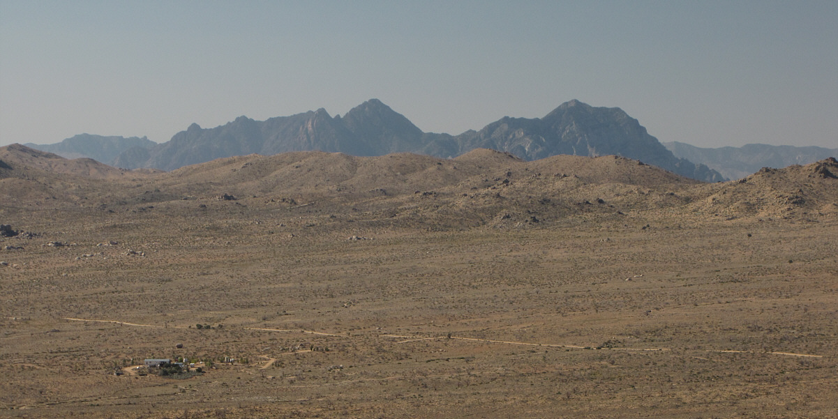
The Providence Mountains stand out in the distance to the south.
 |
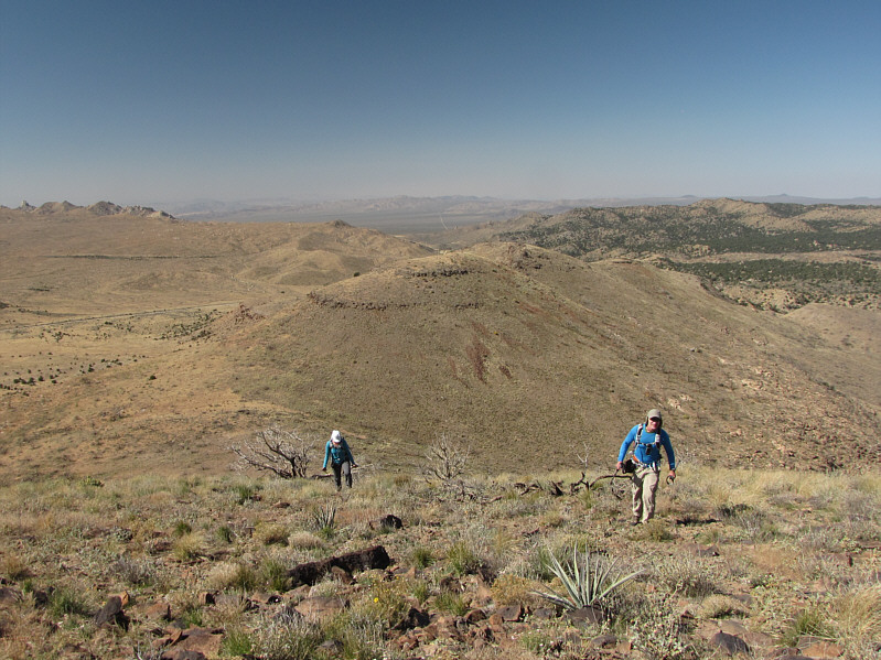
Bob and Dinah traverse below a rock band on their way to the false summit ahead. |
 |
The true summit of Pinto Mountain finally comes into view. |
 |
Dinah and Bob climb up the final slope. |
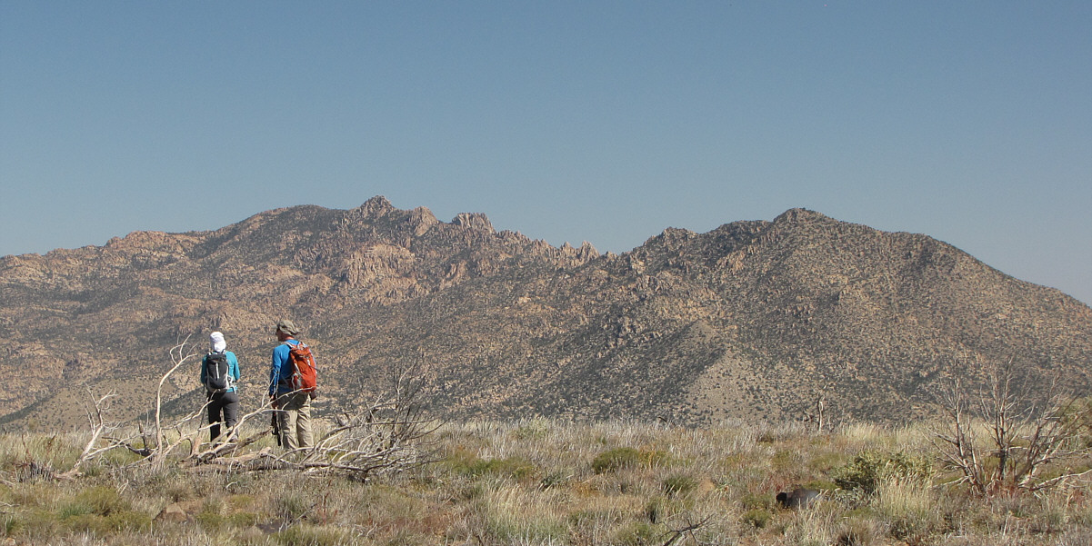
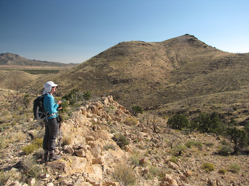
Dinah and Bob try to ascertain the location of Pinto Mountain's summit. In the distance are the New York Mountains with Drum Peak on the right.
 |
Desert vegetation will sometimes snag an entire human. |
 |
Bob, Dinah and Sonny stand on what they think is the summit of Pinto Mountain (1867 metres). |
 |
Hackberry Mountain (right) is visible in this view to the southeast. |
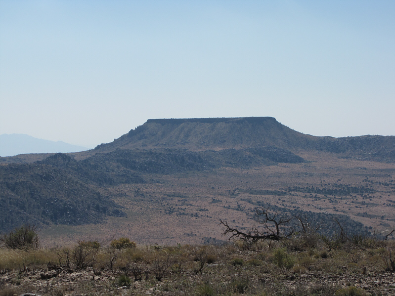 |
Table Top is the most distinctive peak visible from Pinto Mountain. |
 |
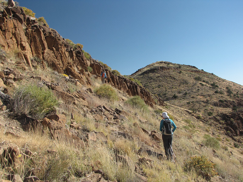
Bob and Dinah descend a weakness in the cliff band. |
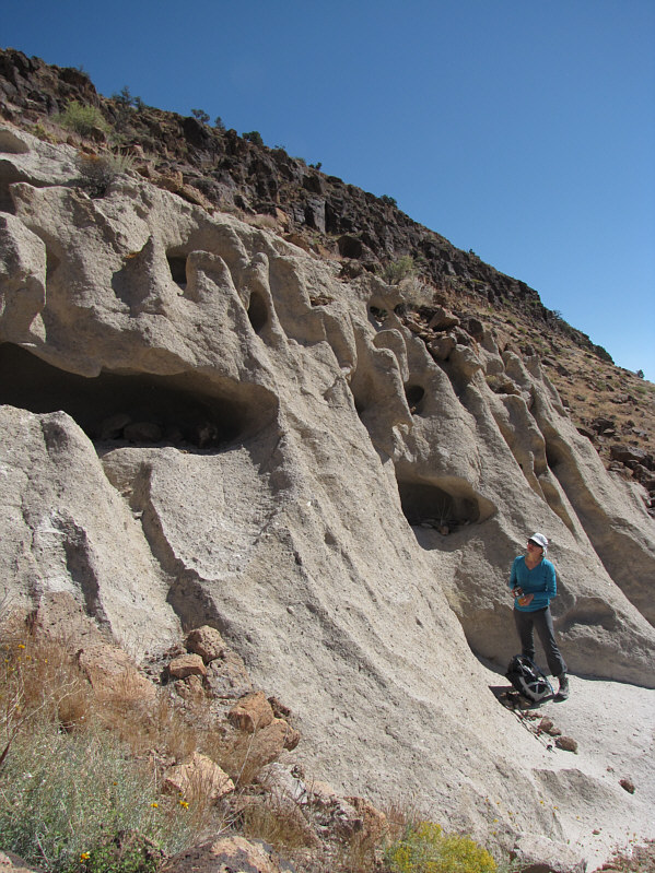 |
Dinah checks out some cave-like formations on an interesting outcrop of rock. This is likely rhyolite, a type of igneous (volcanic) rock. |
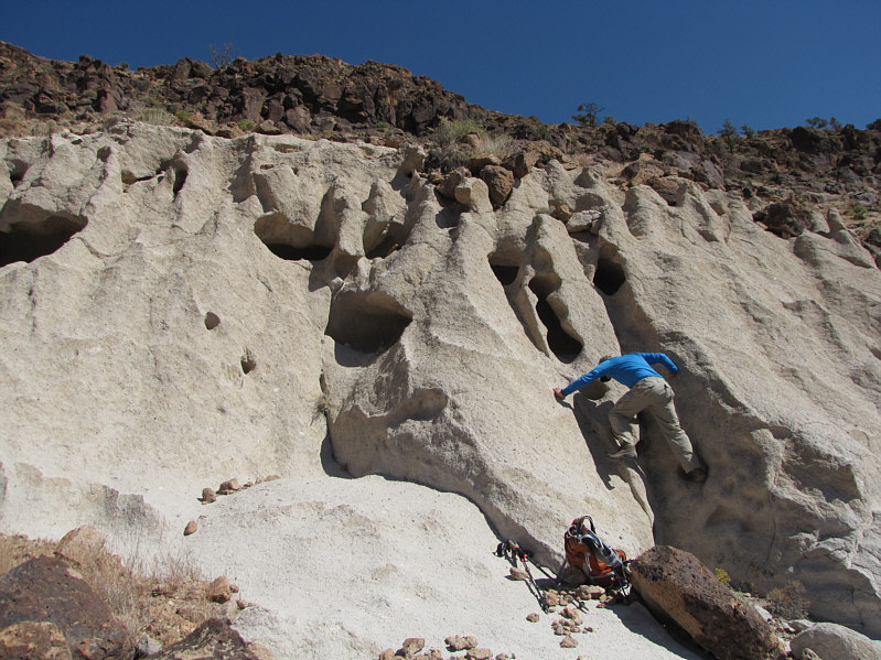 |
The cave-like formations are the result of a type of weathering caused by wetting and drying of porous rock. |
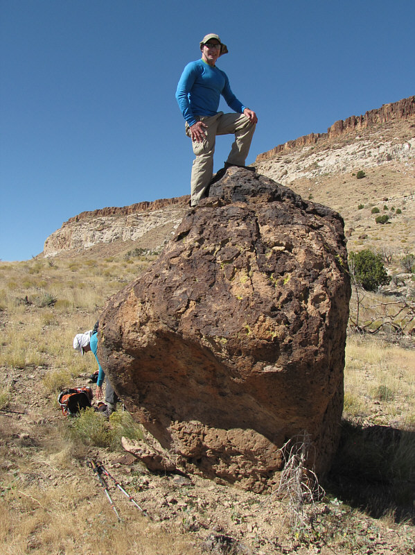 |
Bob stands atop a conspicuous boulder on the way back to the car. |
 |
Here is a look back at the Pinto Mountain "massif" from the road. |
 |
Total
Distance: ~7.3 kilometres Round-Trip Time: 4 hours 29 minutes Net Elevation Gain: 321 metres |