

Bob had picked an objective known as "Mount Stewart" from Andy Zdon's guidebook, Desert Summits: A Climbing & Hiking Guide to California and Southern Nevada. There is a lot of confusion regarding the name of this peak which is located on the California side of the state line just west of Pahrump, NV. While some, like Zdon, use the name "Mount Stewart", others refer to this peak as "Stewart Point". To complicate matters, the USGS topographical map names the peak as simply "Stewart". I am a big advocate of simplicity and have opted to go with the USGS name although I think "Stewie" would be a catchier moniker.
Our trip got off to an inauspicious start when, after hiking for about 600 metres, we turned around and noticed a couple of police vehicles congregating around our car on the side of the highway. Bob and I hurried back only to find out that the police were simply doing a routine check given that our car was parked seemingly in the middle of nowhere.
Bob and I eventually rejoined Dinah and Shin, and together we hiked to the base of Stewart where we entered a canyon of black rocks. This canyon presents some route-finding challenges, and although cairns are present, they are not always obvious. We eventually ended up off-route and had to traverse some unpleasant terrain to get back on track. Once we gained the southeast ridge of Stewart, we enjoyed a straightforward albeit steep climb to the summit.
On descent, we again had some route-finding issues in the canyon, but this time, we managed to stay on the right track and avoid difficult down-climbs. The remainder of the hike back to our car was uneventful. A quick stop in Pahrump for ice cream and cold drinks capped off yet another beautiful day in the desert.
Be sure to check out Bob's trip report here.|
|
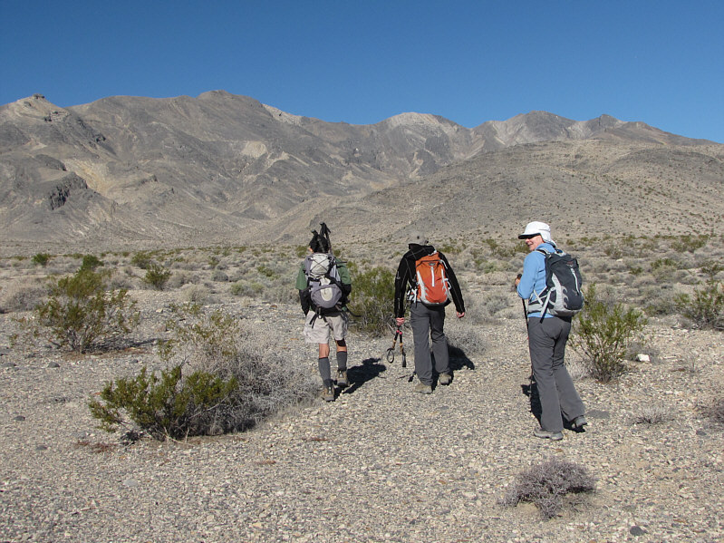
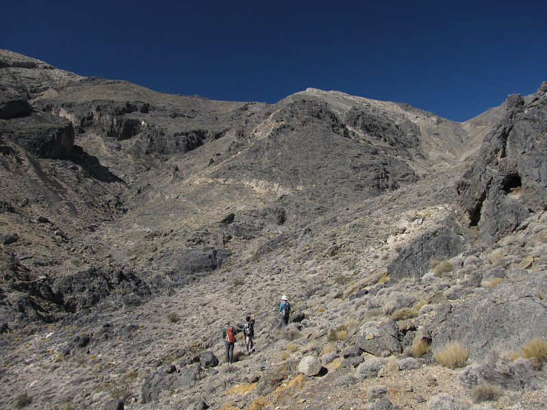
Shin, Bob and Dinah head across the flats toward Stewart (left). |
|
|
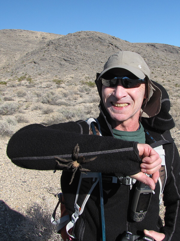
Bob is actually grinning about having a huge tarantula crawling on his arm! |
|
|
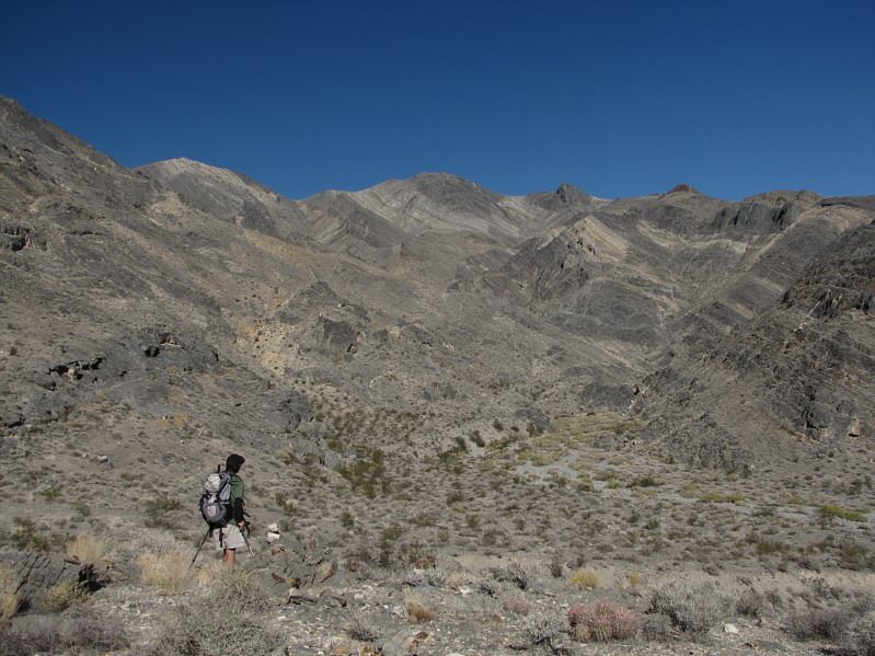
Shin surveys the entrance to the canyon at right. |
|
|
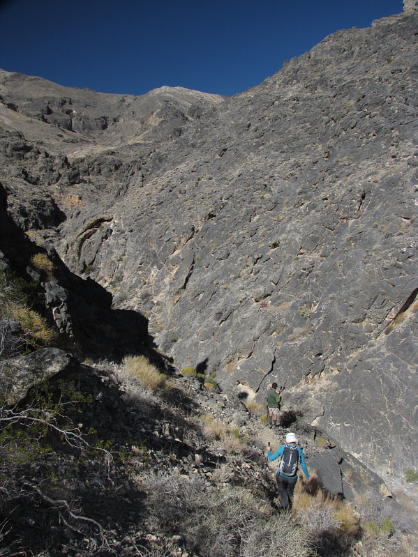
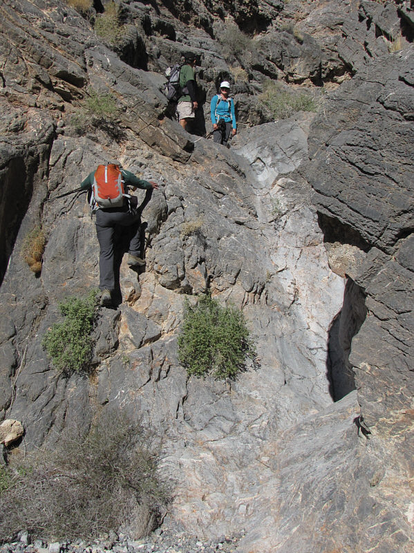
Shin and Dinah enter the canyon of black rocks. |
|
|
Shin and Dinah wait at the top of a pour-over while Bob scrambles up beside it. |
|
|
The route to the summit follows the ridge at centre. |
|
|
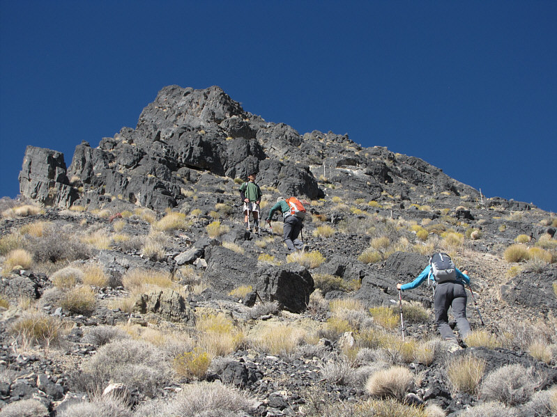
With route-finding difficulties behind them, Shin, Bob and Dinah push on up the ridge. |
|
|
The long slog continues. |
|
|
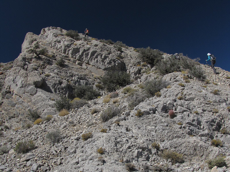
Black rocks give way to white rocks higher up. |
|
|
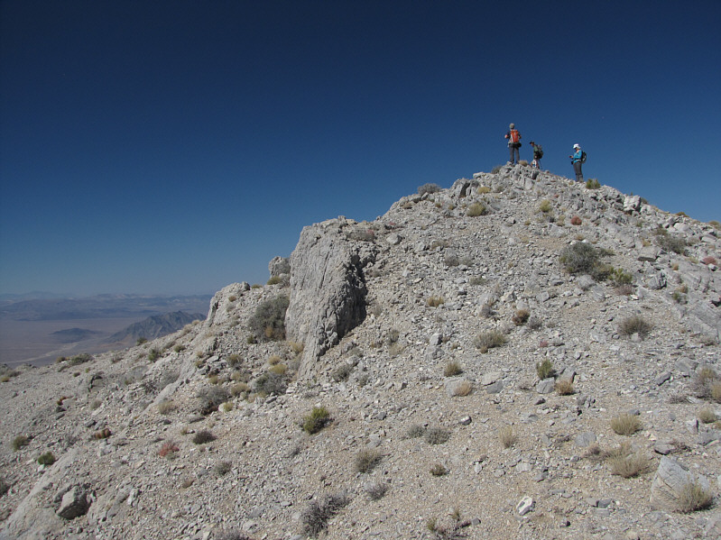
Shin, Bob and Dinah reach the 1592-metre summit of Stewart. |
|
|
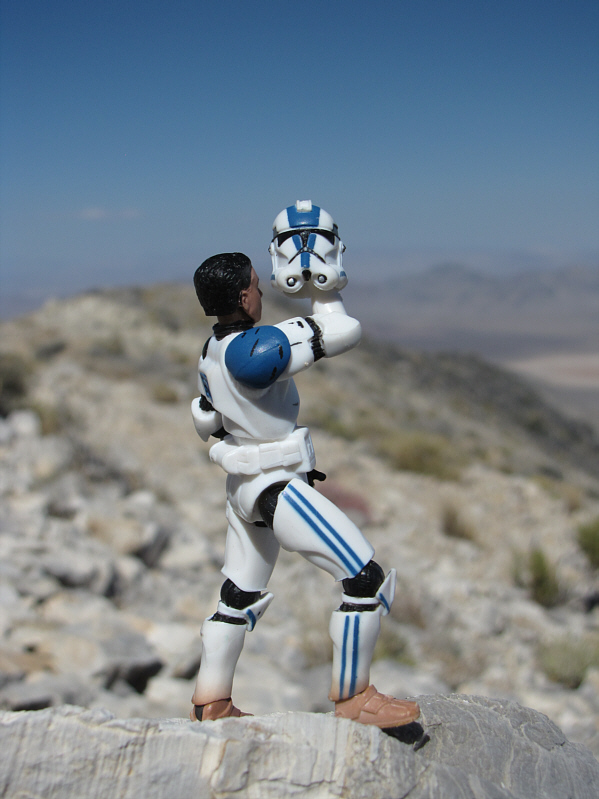
Dinah looks on disapprovingly as Sonny pays tribute to avid Las Vegas peak-bagger, Harlan Stockman. |
|
|
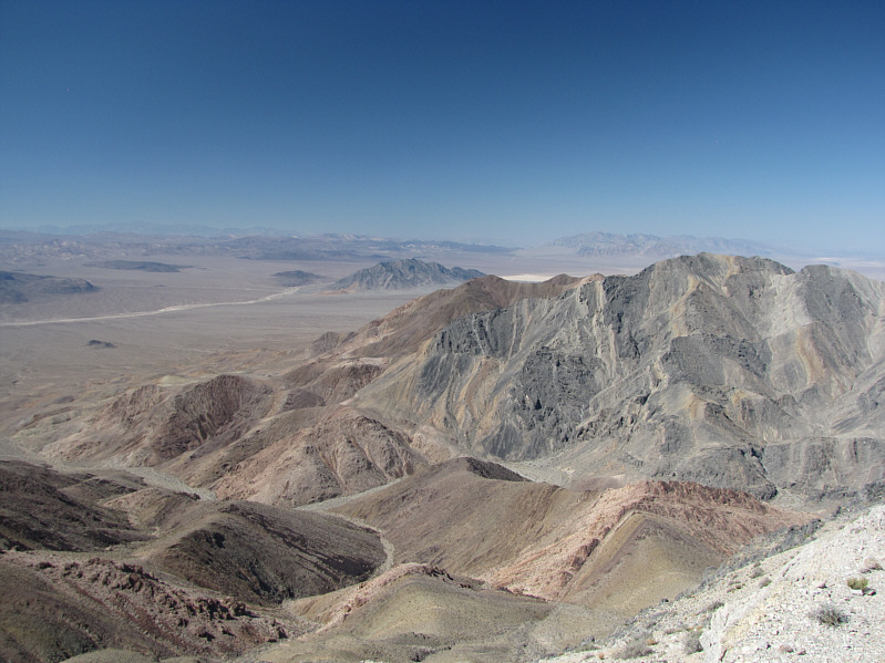
Visible to the northwest are Eagle Mountain (centre) and Pyramid Peak (distant right). Barely visible on the horizon at far left is Telescope Peak. |
|
|
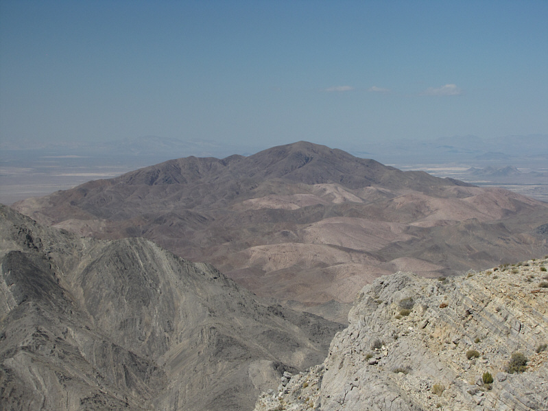
Shadow Mountain attracts all the attention to the north. |
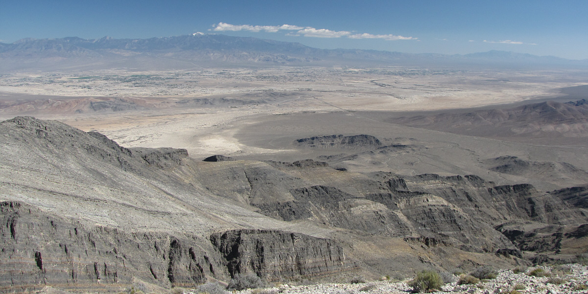
This panoramic view to the east includes the town of Pahrump, snowy Charleston Peak, and Potosi Mountain (far right).
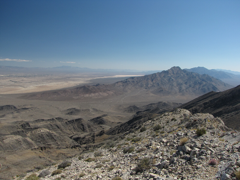 |
At right, the Nopah Range stretches away to the southeast. |
 |
Shin reads the summit register while Bob and Dinah marvel at the surrounding views. |
 |
Shin, Dinah, Bob and Sonny pose together near the summit of Stewart. |
 |
This is one of two geodetic survey markers on the summit of Stewart. According to Wikipedia, the triangle indicates that this is a primary point or main station among a group of such markers (the others are referred to as reference marks) used in triangulation surveys. The hole marks the precise spot that a surveyor's plumb-bob is supposed to be dropped. |
 |
Shin, Dinah and Bob leave behind all difficulties and hike out of the canyon. |
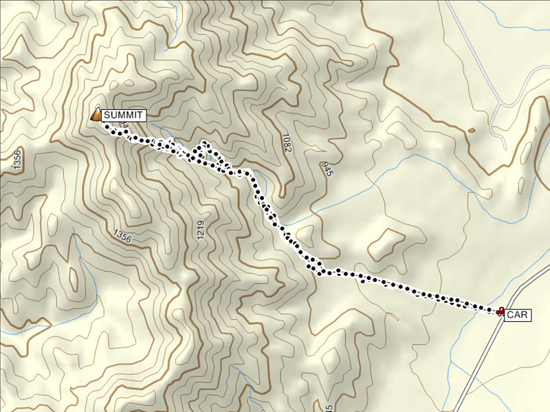 |
Total
Distance: ~10.2 kilometres* Round-Trip Time: 6 hours 31 minutes Net Elevation Gain: 754 metres *Not including an extra 1.2 km on the initial backtrack |