On the
morning of 9 August 2013, I treated myself to a big breakfast at the
Border Inn before driving to Great Basin National Park (no entry fees) to
climb Wheeler Peak. The trailhead is located near the end of a long
and winding paved road that climbs over 1400 metres from the nearby town
of Baker, Nevada. In addition to the high starting elevation, there
is a good trail that runs up the north ridge of Wheeler Peak all the way
to the summit. Other than having to contend with a rather truculent
wind on this day, I enjoyed a mostly trouble-free ascent. There
were quite a lot of other hikers going up and coming down, but the
mountain never felt crowded to me. I spent a pleasant hour at the
summit eating lunch and reading the register before starting my descent.
Not far from the trailhead, I took an easy shortcut down an open grassy
slope which saved me some time and distance. After stopping briefly
at the trailhead to chat with a tourist from Texas, I drove back down the
road to Baker before heading into the interior of Nevada along US Highway
6. Ultimately, I drove all the way to the town of Tonopah and
checked into a cheap motel for the night.
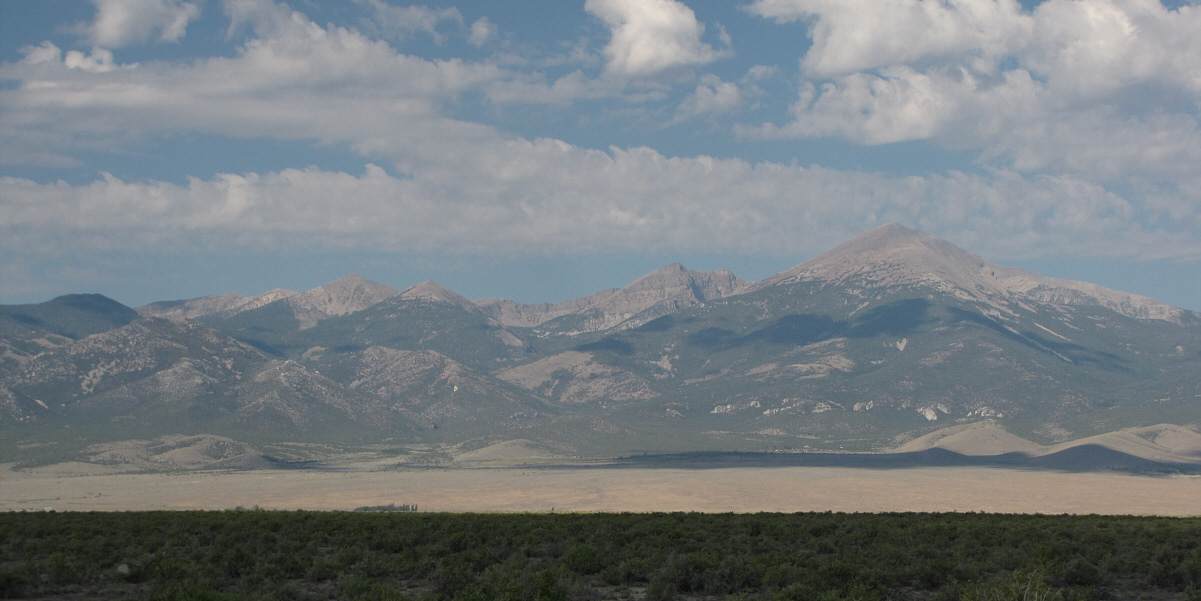
Jeff Davis Peak (right) is among the many peaks of Great Basin National Park that are visible from the Border Inn.
 |
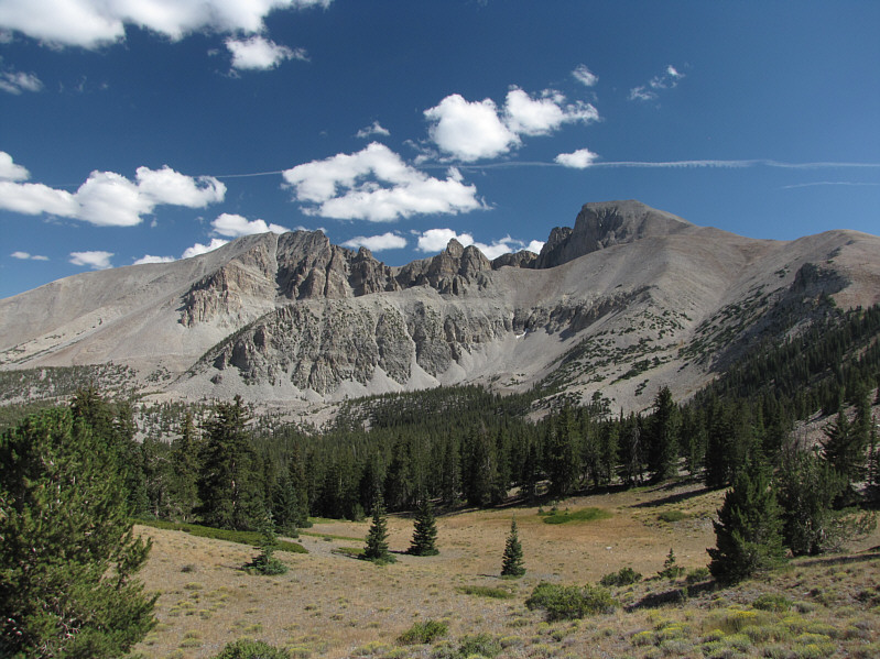
Wheeler Peak is readily visible from the road near the trailhead. |
 |
The gentle north ridge of Wheeler Peak provides an easy ascent route. |
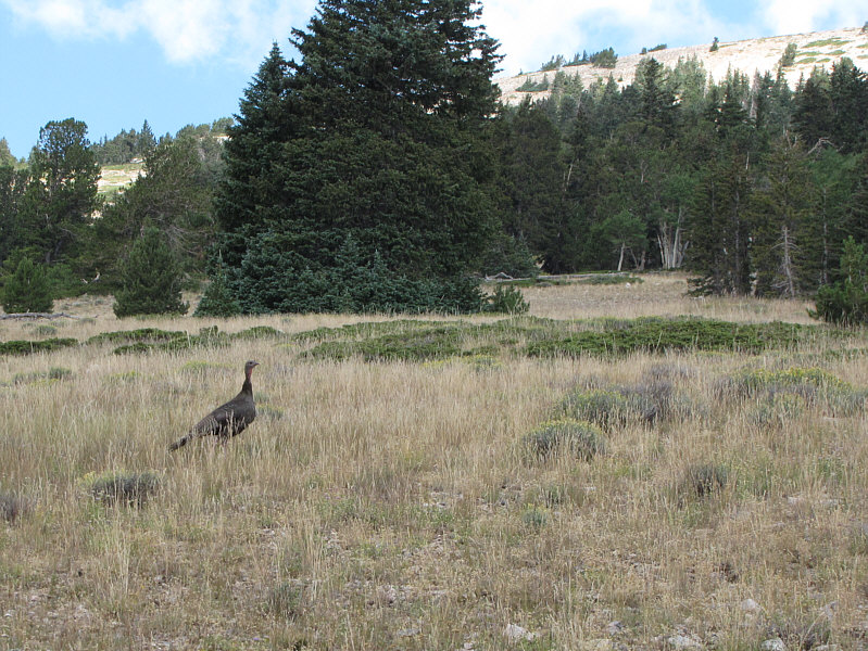 |
A wild turkey marks the spot along the trail where it is possible to take a shortcut. |
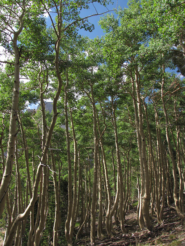 |
Aspen trees along the first part of the trail provide some shade from the sun. |
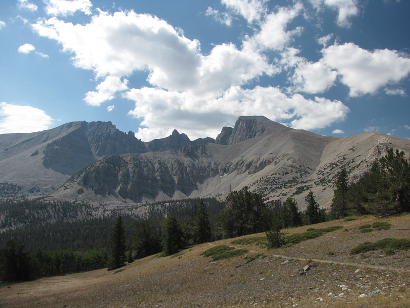 |
Views begin to open up near tree line. At left is Jeff Davis Peak, and at right is Wheeler Peak. |
 |
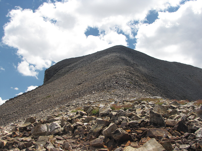
The north ridge is generally quite broad. |
 |
The trail climbs up the crest of the ridge before traversing to the left just below the summit. |
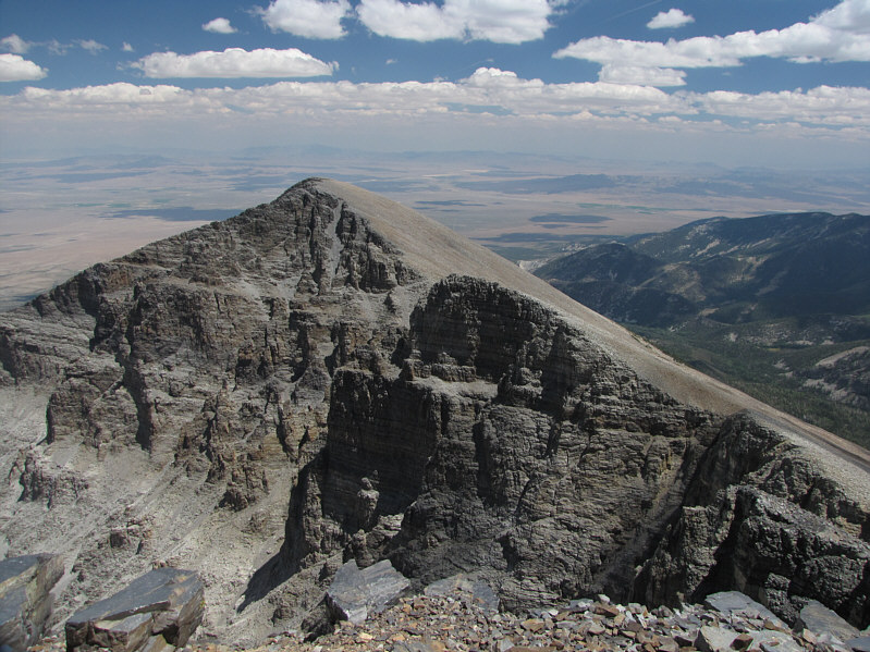 |
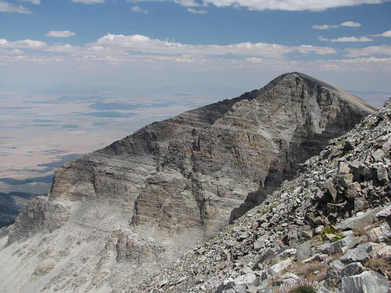
The east end of Wheeler Peak's summit ridge grants a comprehensive view of Jeff Davis Peak. |
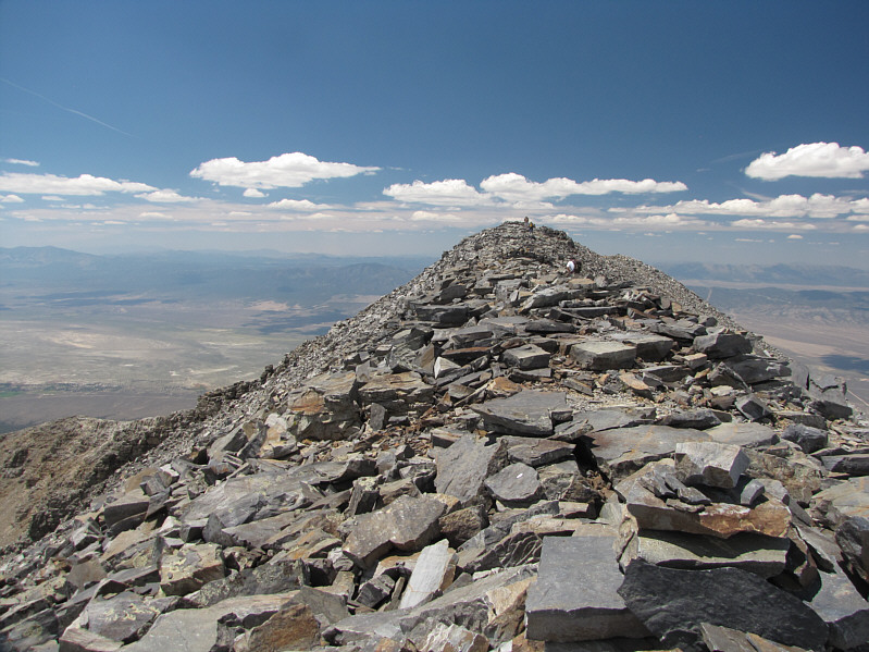 |
This is looking back at Wheeler Peak's true summit from the east end of the summit ridge. |
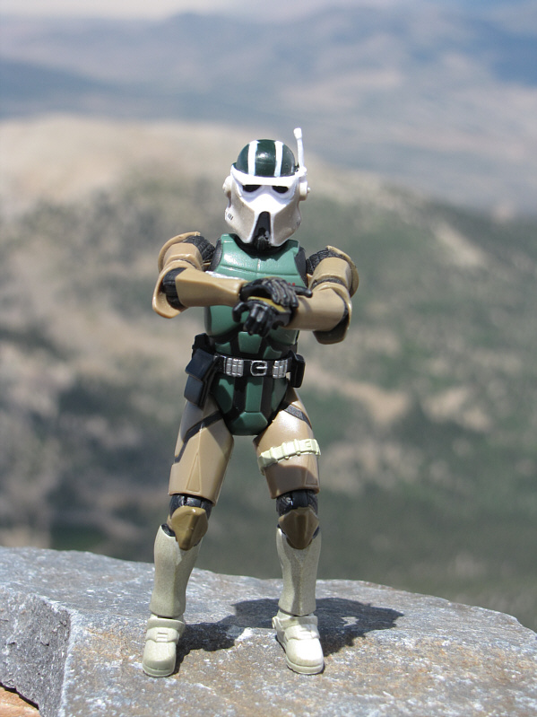 |
Sonny stands on the 3975-metre summit of Wheeler Peak. |
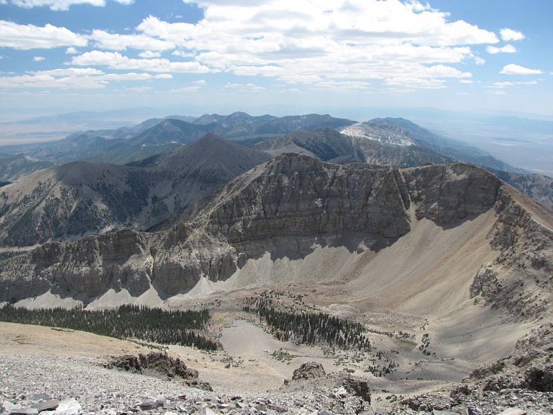 |
A plethora of peaks stretches away to the south. The nearest one is Baker Peak. |
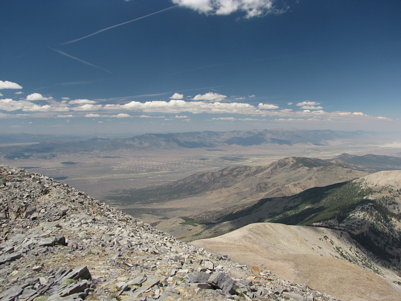 |
Numerous wind turbines can be seen in the flats to the northwest. |
 |
In the distance to the north is Mount Moriah. |
 |
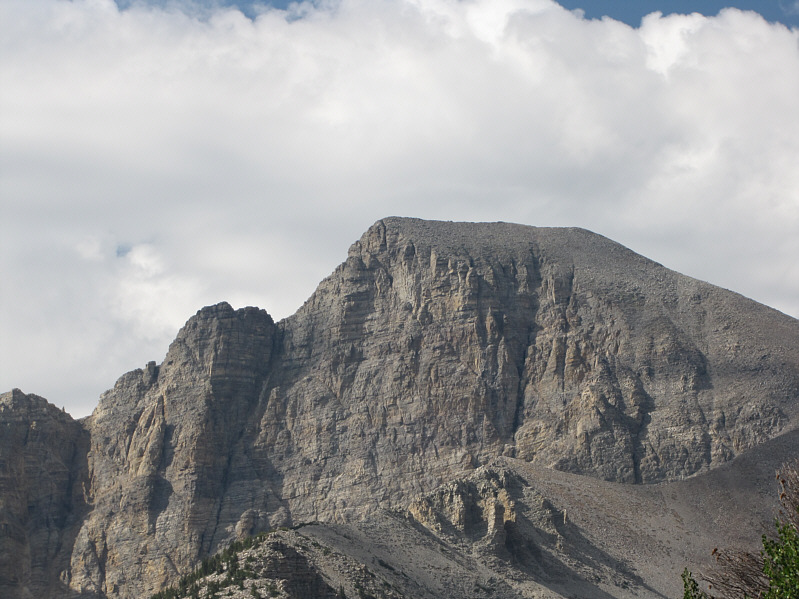
The impressive west face of Jeff Davis Peak is worth another look. |
 |
Jeff Davis Peak and Wheeler Peak look impressive in the afternoon sun. |
 |
Here is a last look at Wheeler Peak from the highway to the west. Jeff Davis Peak can also be seen at far left. |
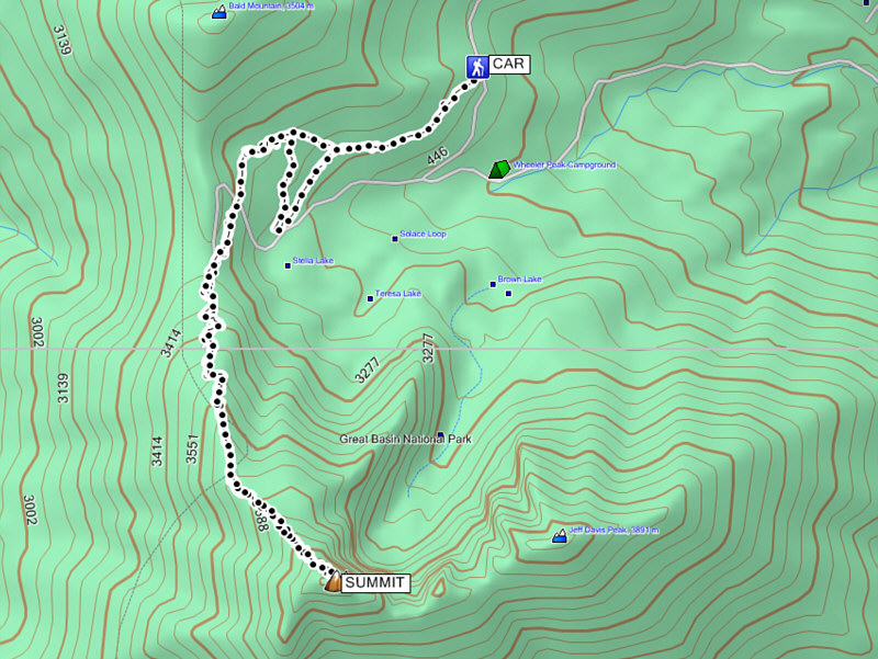 |
Total
Distance: 14.4 kilometres Round-Trip Time: 6 hours 27 minutes Net Elevation Gain: 897 metres |