BOU AVENUE
Loop Ridge
With a recent successful ascent of Tent Mountain still fresh in our minds, Bob Spirko and I headed back to the Crowsnest Pass area on 7 June 2014 to hike up nearby Loop Ridge.  Starting from the highway (Corbin Road) on the British Columbia side of the Continental Divide, we had some difficulty finding the correct access road, but after a bit of trial and error, we finally got on the right track.  We followed the access road for a few kilometres before leaving it to thrash up a forested ridge.  A couple of hundred metres higher up, we came across another road and continued along it to the ridge crest.  Here, we again abandoned the road and stuck more or less to the undulating ridge crest on our way to the high point of Loop Ridge.  Lingering snow patches proved to be a nuisance, and while the bushwhacking was light, the tedium and general lack of views were somewhat discouraging.  Only near the top did the trees finally give way to reveal some sweeping vistas.

During our 40-minute lunch break at the top, we spotted another road near the bottom of the west face that looked like it would lead quickly back to the highway.  Disinclined to retrace our steps for the return trip, we continued north along the ridge for a short distance before plunging back into the trees down the west face.  As we had hoped, the bushwhacking was again light, and the steep terrain afforded us a quick descent which at times almost felt too quick.  We subsequently dropped into a drainage and followed a flowing creek downhill.  The angle of the terrain here was more level, but we also encountered a lot more deadfall.  This was definitely the worst bushwhacking of the day, and it was with great relief that we finally emerged from the bushes and reached the aforementioned road.  We easily hiked this road back out to the highway, but we ended up about 3.5 kilometres north of our starting point.

After all the bushwhacking we did on this day, I did not mind a long walk on asphalt.  Bob failed to thumb a ride from a couple of passing vehicles, but he quickly outpaced me and eventually reached his car well ahead of me.  He promptly drove to pick me up and thus saved me from having to walk the last 400 metres or so.  I was only mildly disappointed that I did not complete the full loop on Loop Ridge.

Be sure to check out Bob's trip report here
Are we on the right track, Bob? 
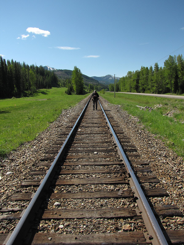
Bob walks along the train tracks while consulting his GPS.
No access road here...turn around and go the other way! 
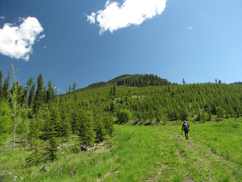
Bob searches for the access road to Loop Ridge which can be seen in the distance.
We will eventually leave this road and head up the ridge in the distance. Bob ascends the proper access road.
We would eventually leave this road as well and encounter more snow patches! 
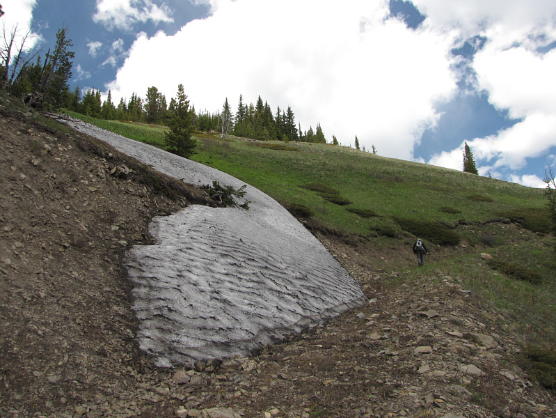
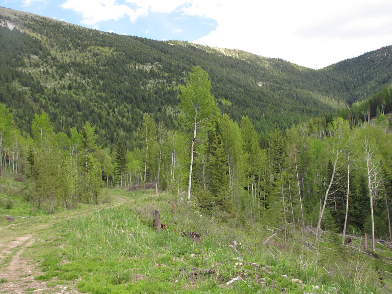
After regaining another logging road, Bob hikes past a lingering snow patch.
Note the bear scat inthe foreground! Bob comes across an Alberta-British Columbia boundary marker.
A lot of bushwhacking to get this far! 
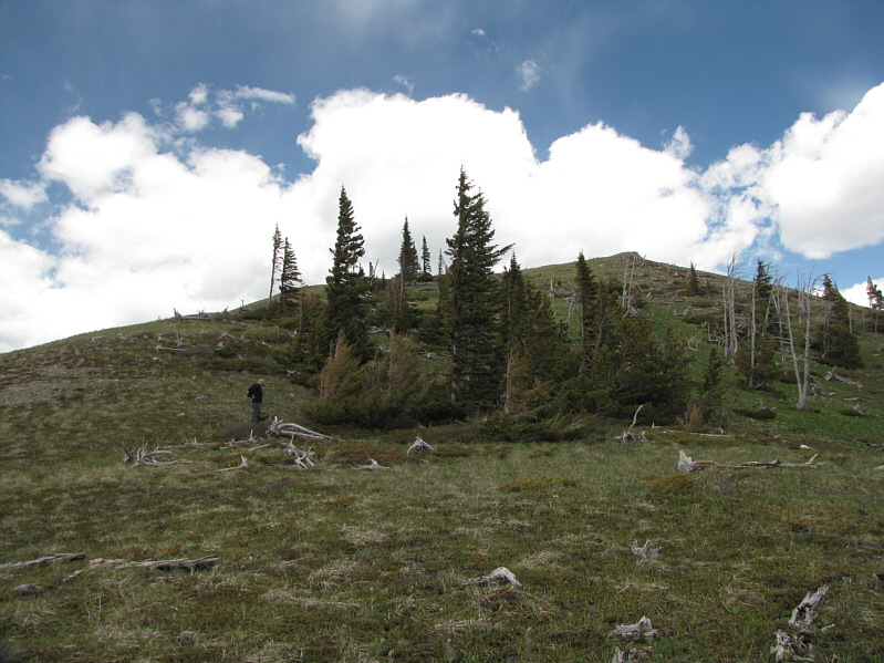
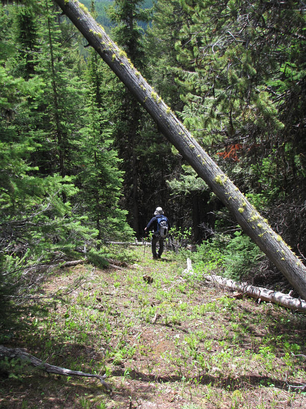
After thrashing through forest for much of the day, Bob finally reaches the open slopes below the high point of Loop Ridge.
Loop-de-doo! Bob finds another boundary marker on the high point of Loop Ridge.
Men in Black! 
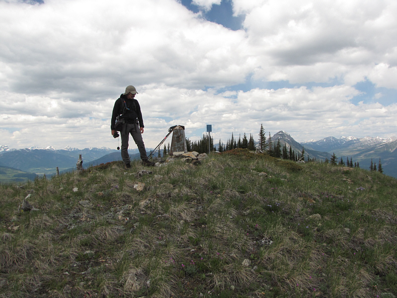
Sonny and Bob stand next to the boundary marker on the 2034-metre high point of Loop Ridge.
I wonder how many times this thing has been zapped by lightning. Here is a closer look at the boundary marker.
Looks like they're both in shape for scrambling. 
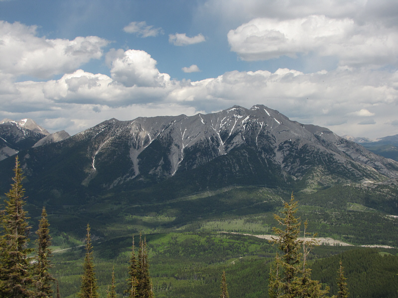
Phillipps Peak and Mount Tecumseh look like one and the same mountain to the northeast.
That's one big antenna on top of the ridge! 
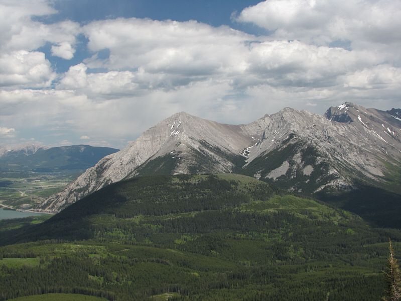
Also to the northeast is Crowsnest Ridge along with Island Lake (bottom) and Crowsnest Lake (far right).
Access to Sentry Mountain is a bit tricky nowadays... Sentry Mountain lies to the east.
Highest mountain in this area. 
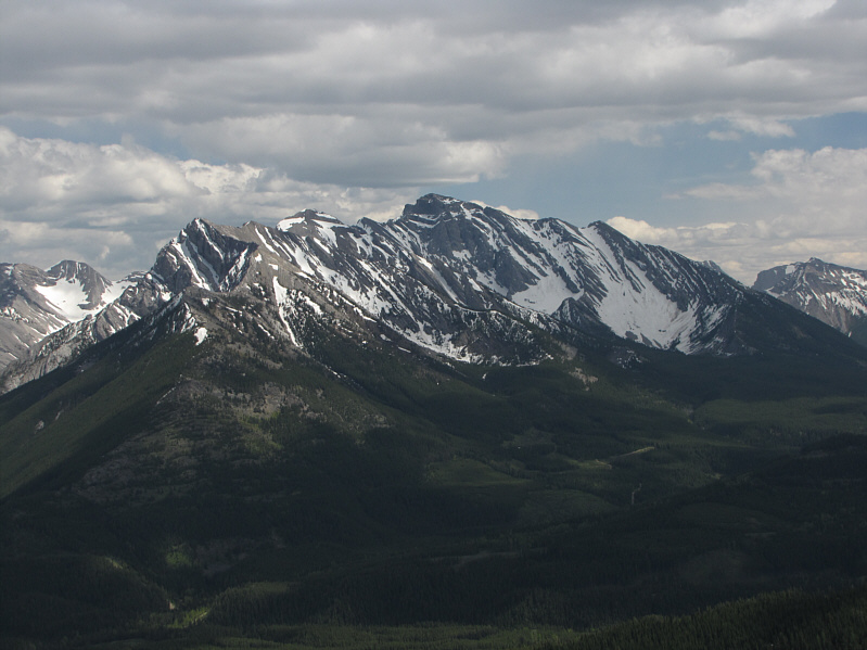
Mount Ptolemy dominates the view to the southeast.
Still a lot of snow on Tent Mountain! 
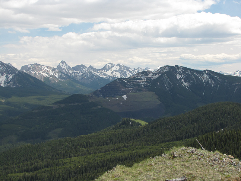
Mount Darrah (left) and Tent Mountain are visible to the south.
Very steep--I would not want to climb up this way! Bob bushwhacks down the west face of Loop Ridge.
Watch out for some bones too! 
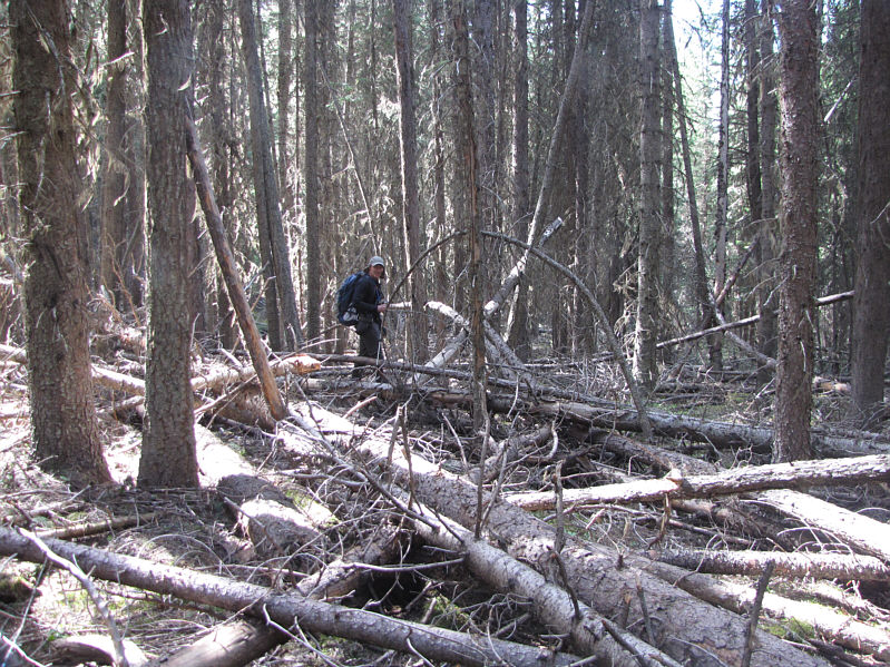
Lower down, the bushwhacking is quite heinous in places such as this one.
No more bushwhacking for the day. Yay! 
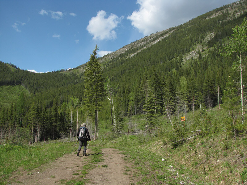
Bob regains yet another logging road on descent.
Bob and I may have been the first people ever to descend Loop Ridge this way! This is looking back up the west face of Loop Ridge.  Bob and Sonny descended the slope slightly right of centre in the photo.
I told Bob that his legs weren't sexy enough for hitchhiking! 
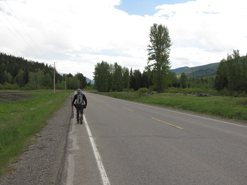
Bob takes the long walk back to his car along the highway.
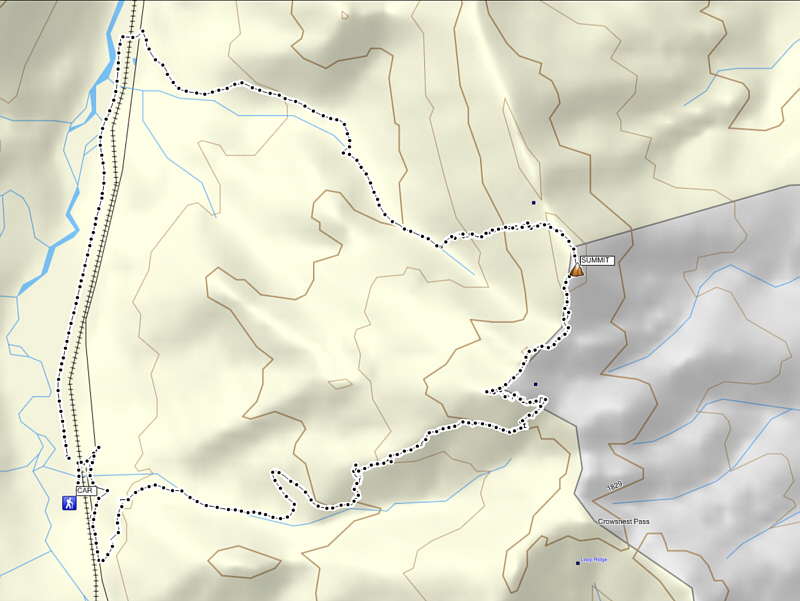
The views from the summit probably aren't worth all the effort expended to get there. Total Distance: ~15.1 kilometres
Round-Trip Time: 6 hours 42 minutes
Net Elevation Gain: 718 metres