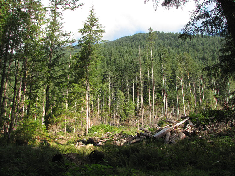
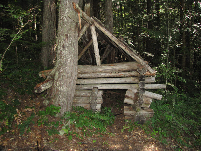
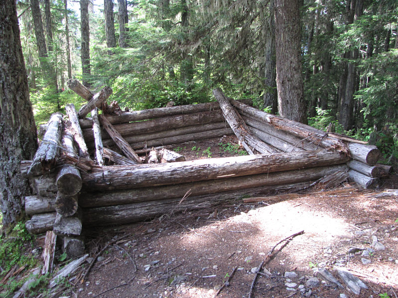

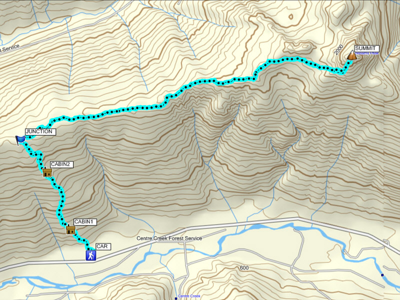
Continuing along the rough road from the campsite, I passed a white sign, labeled "Trail", before reaching a T-junction with a logging road at the edge of a large clear-cut. Mentioned neither by Gunn nor Bryceland, the unexpected clear-cut confused me greatly, and I wasted a considerable amount of time going back and forth before finally stumbling upon the correct trail (turn left at T-junction and look for an overgrown path on the right with a very easy-to-miss cairn). After crossing the clear-cut, I began climbing in earnest up the forested slope on a trail that more resembled a vertical skid mark in the dirt. The 900-metre ascent from the valley floor to the ridge crest is a relentlessly steep grind with only two dilapidated cabins along the way to break up the monotony of the forest. Hiking along the undulations of Williams Ridge was only marginally more interesting, but at least the angle of ascent is less severe here. Only near the trail's end at a rocky knoll did I finally break out of the trees and get an unobstructed view of the magnificent pyramidal form of Williams Peak.
From the trail's end, I tried to stay high and minimize elevation loss as I crossed a tedious rocky basin to reach an obvious access ramp on Williams Peak's southwest ridge. Cairns and bits of flagging helped me to stay on track in the basin. Contrary to its benign appearance, the access ramp is both steep and loose, and I was happy to get through this nasty section quickly. At the top of the ramp, I veered over to climber's right before turning up an obvious grassy gully for the final 200 metres of steep but easy hiking to the summit.
My ascent had taken a whopping 7.5 hours, and as
I went about my usual summit chores, I was keenly aware of the waning
daylight and the likelihood of hiking out in the dark. I spent about
30
minutes on the summit before commencing my descent down the slippery
gully and ramp. Crossing the basin was less tedious on the way out, but
it was nearly sunset by the time I got across and regained the trail. I
continued hiking out along Williams Ridge in growing darkness. This
section seemed interminable, and I cursed every annoying uphill section I
had to climb back over. The final 900-metre plunge back to the valley
floor was bone-jarring but relatively quick. My headlamp and hiking poles
really proved their worth here. Upon returning to my car, I drove back to
the highway and headed to Hope, BC to check into a comfortable motel for
the night.
|
|
The trail heads steeply up this forested slope. |
|
|
This is the first of two dilapidated log cabins along the trail to the ridge top. |
|
|
Here is the second cabin. |
|
|
A break in the trees along Williams Ridge grants this view to the south of Mount Rexford (centre) and Illusion Peaks (far right). |
|
|
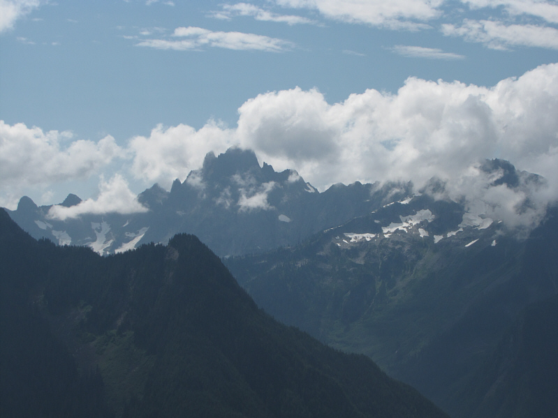
Clouds partially obscure Slesse Mountain to the southwest. |
|
|
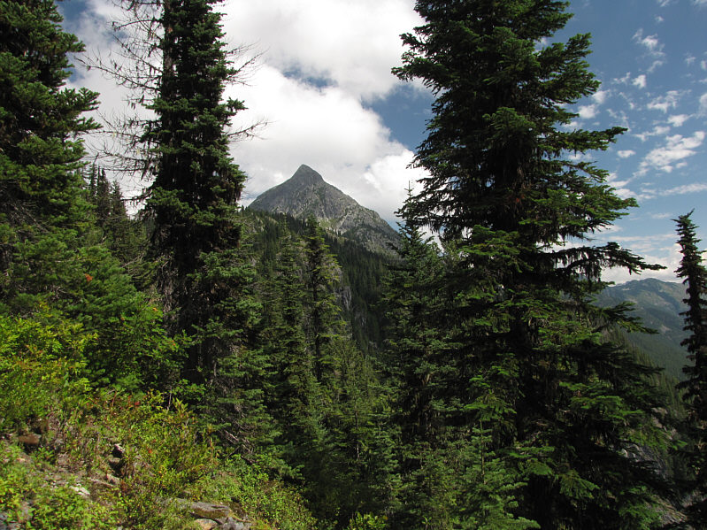
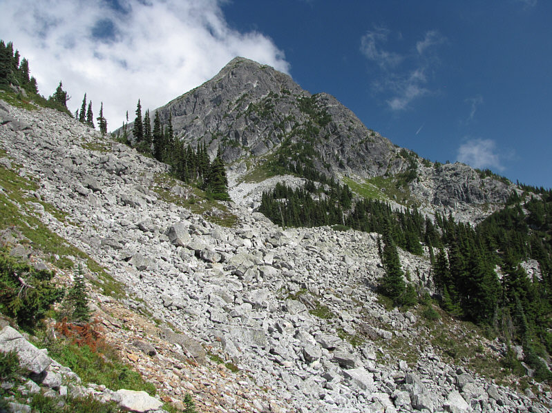
Another break in the trees provides a first glimpse at Williams Peak. |
|
|
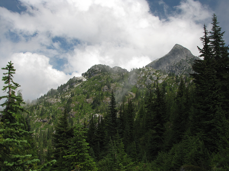
In front of Williams Peak is the rocky knoll (right of centre) which is the end of the hiking trail. |
|
|
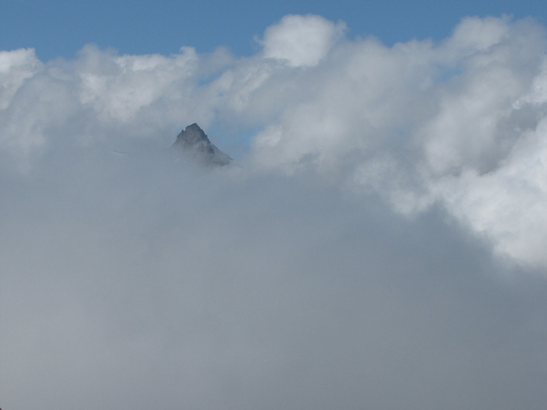
The top of Foley Peak sticks up above the surrounding clouds to the northwest. |

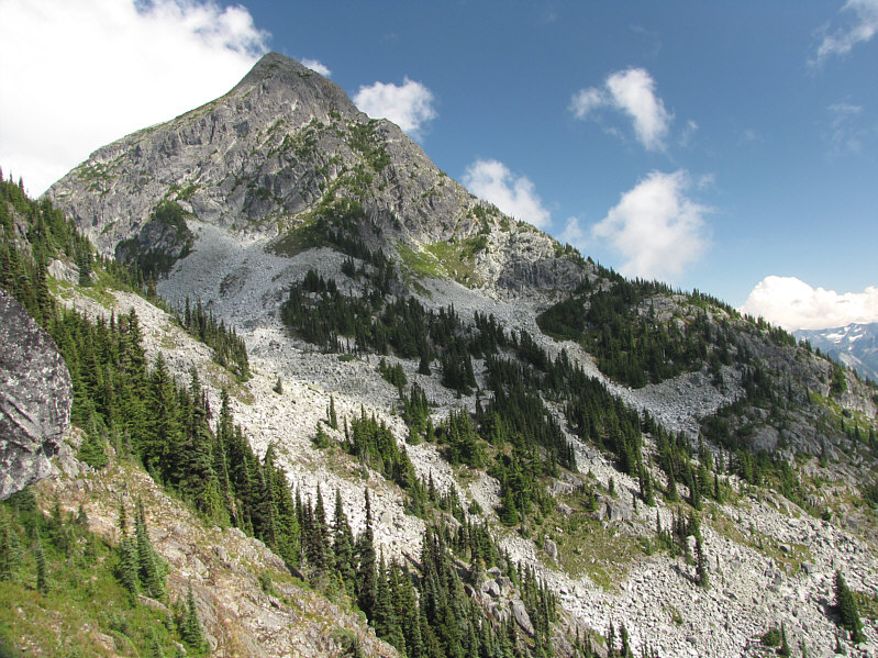
At trail's end is this unobstructed view of Williams Peak.
 |
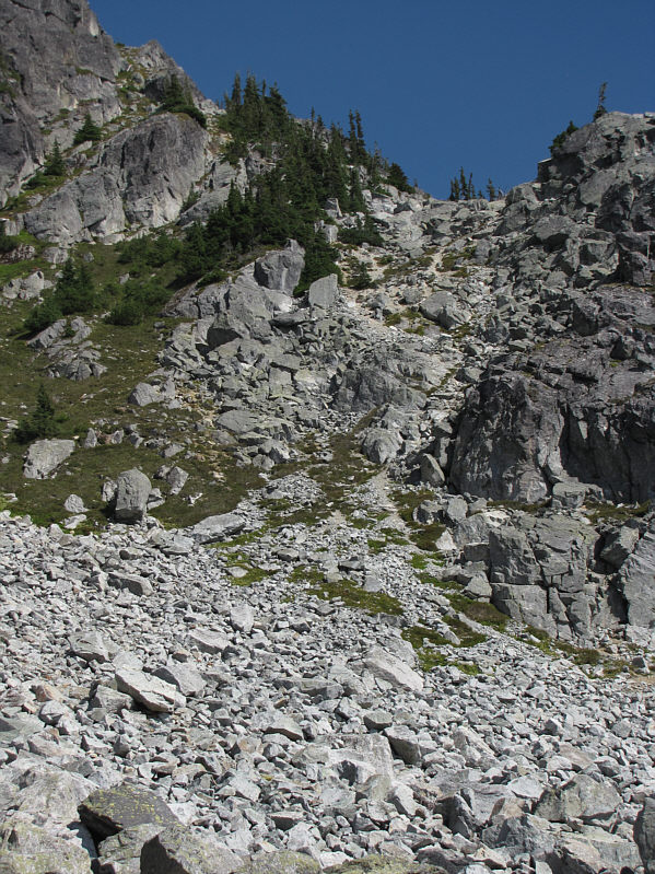
The scramble route traverses across the rocky bowl toward a steep ramp (right of centre). |
 |
Despite being only Class 2 hiking, the traverse is quite tedious. |
 |
The access ramp leads to a grassy gully on the south face of Williams Peak. |
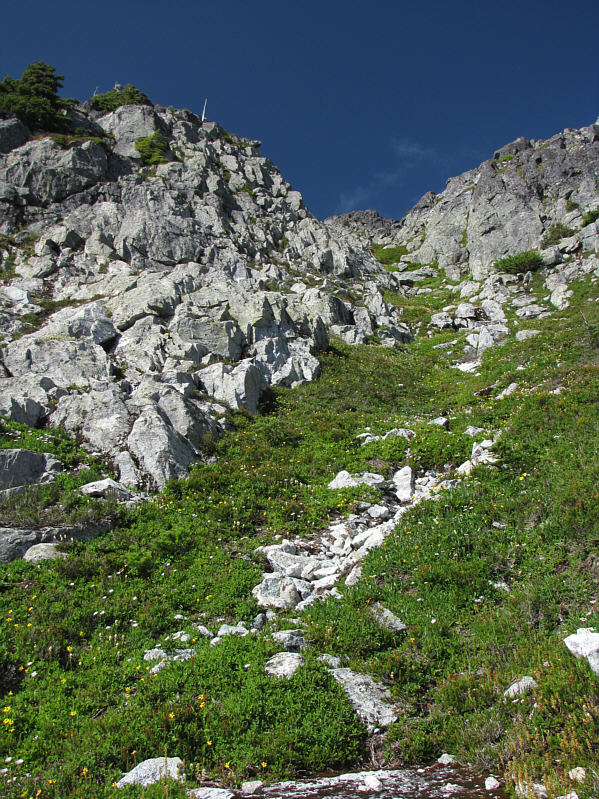 |
The grassy gully provides a straightforward route to the summit. |
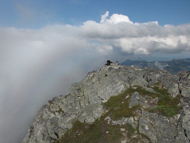
Sonny holds up the register on the summit of Williams Peak (2116 metres). Click here to view a 360-degree panorama video.
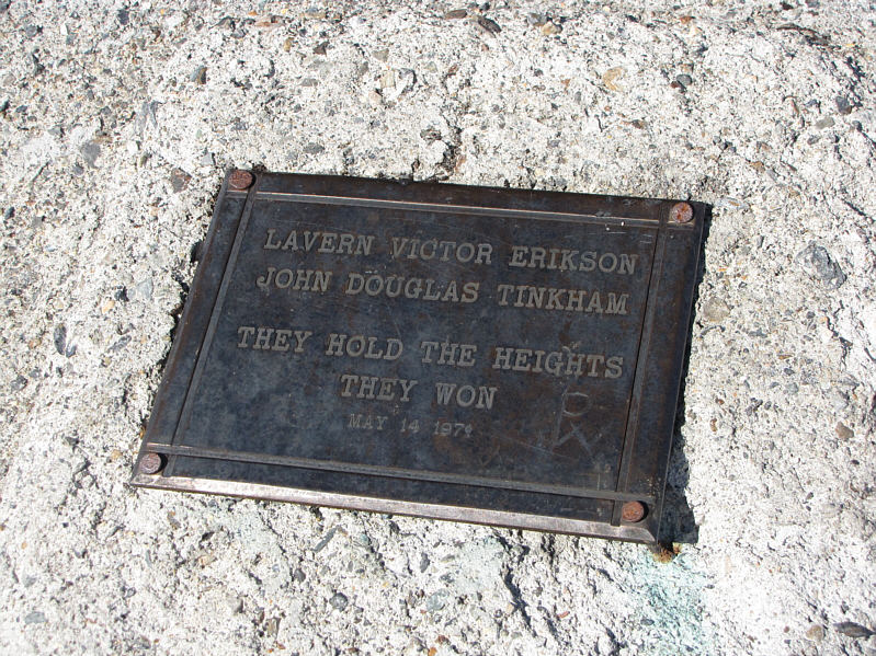 |
Here is a closer look at the plaque that is bolted to the summit rocks. |
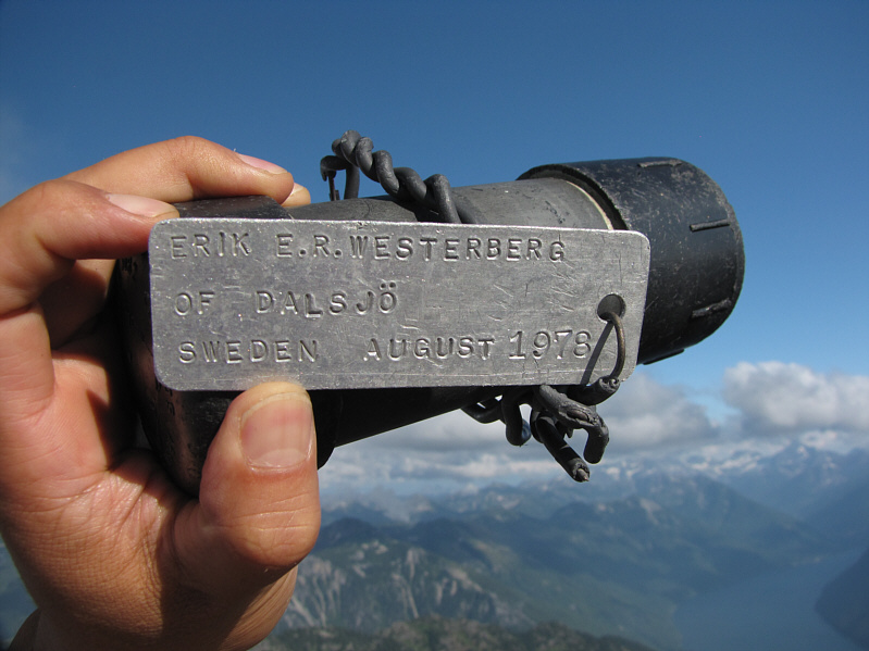 |
A rather unique metal tag is attached to the register container. |
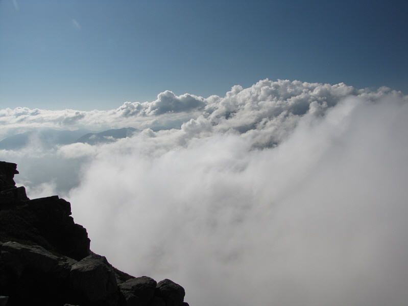 |
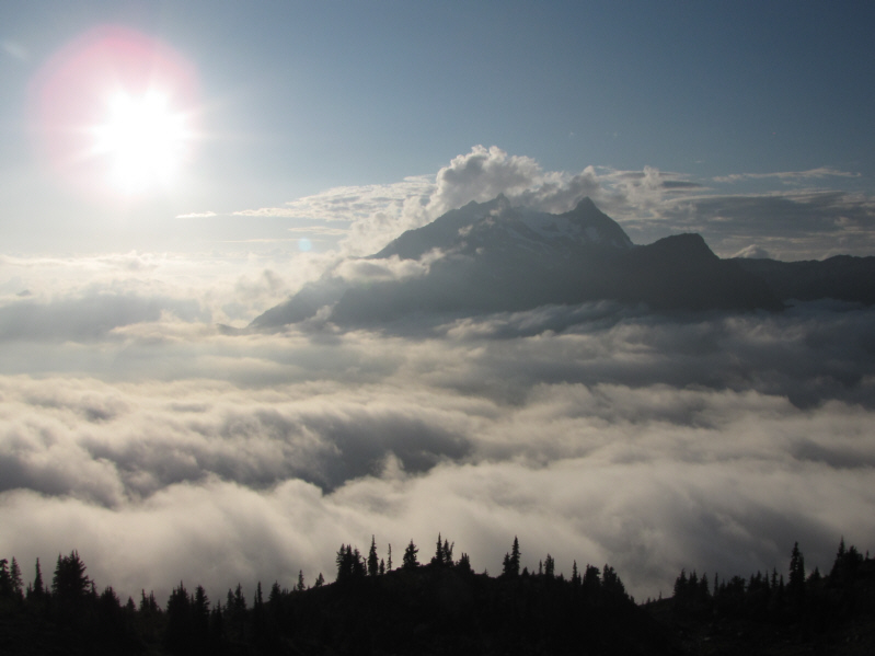
Clouds completely obscure the tops of Welch Peak and Foley Peak to the northwest. |
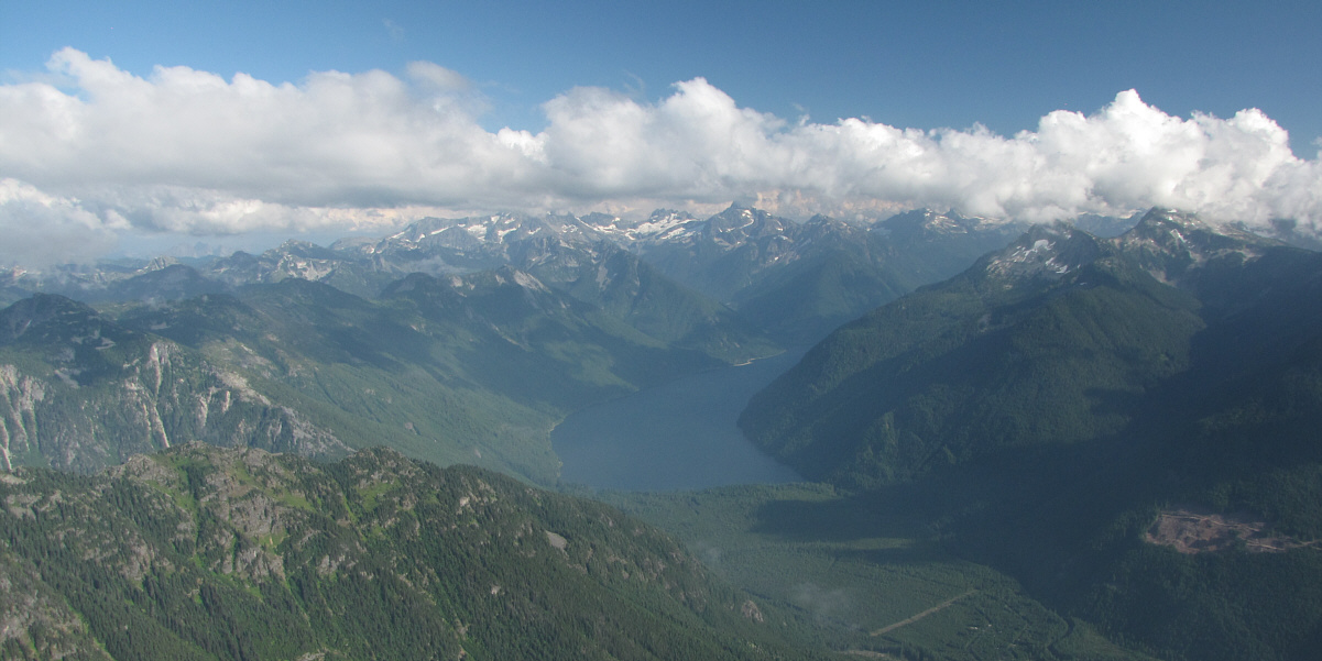
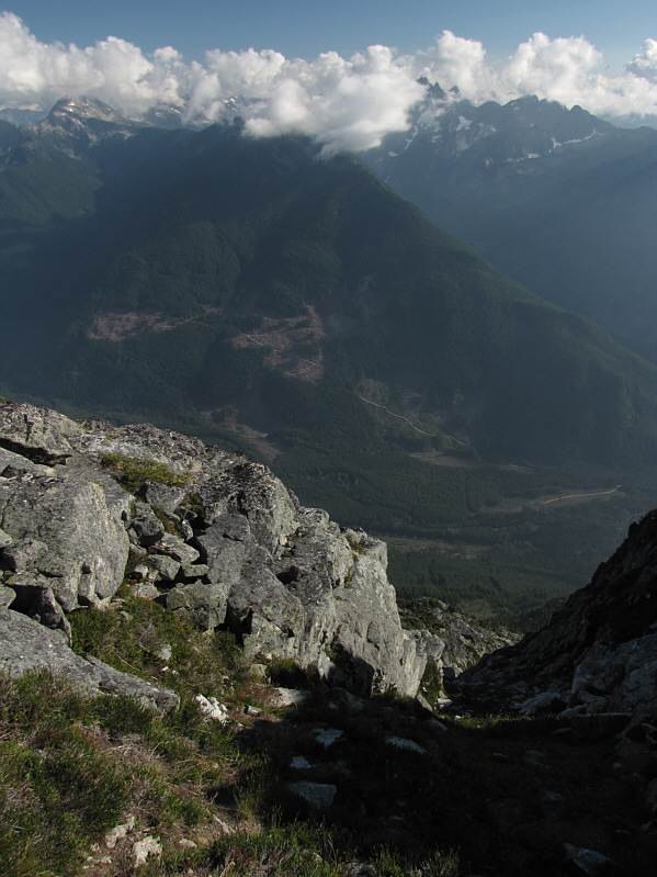
To the southeast is Chilliwack Lake.
 |
A very faint rainbow appears to the left of the summit. |
 |
This is looking down the grassy gully from near the summit. |
 |
Welch Peak and Foley Peak finally make an appearance as the clouds roll away. |
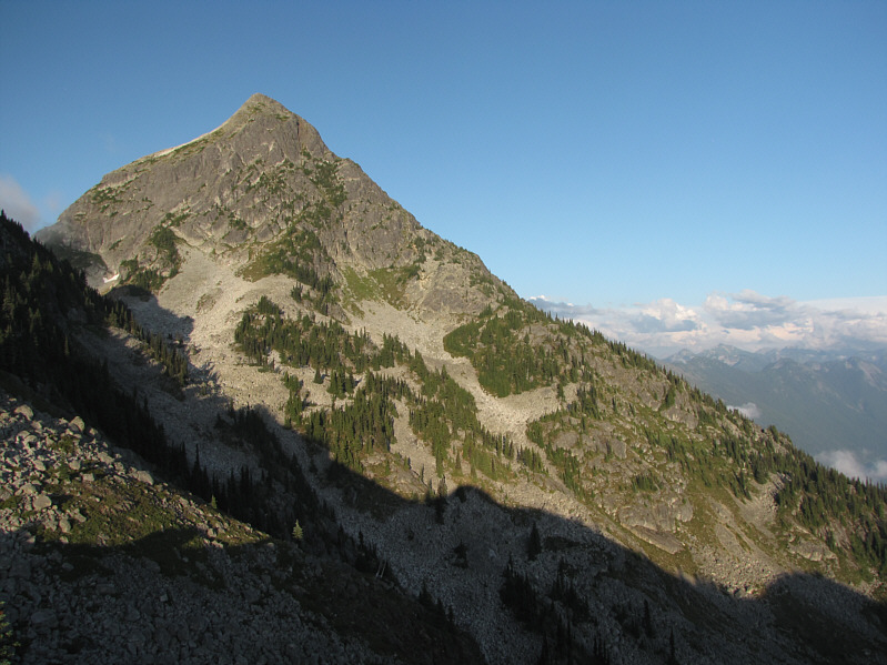 |
Here is a last look at Williams Peak late in the day. |
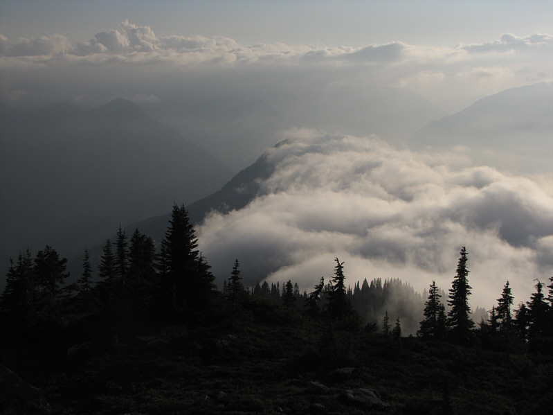 |
Mists roll over top of Williams Ridge. |
 |
Total
Distance: 17.5 kilometres Round-Trip Time: 12 hours 23 minutes Net Elevation Gain: 1651 metres |