BOU AVENUE
Davidson Peak
Located about 24 kilometres northwest of Mesquite,
Nevada, Davidson Peak is sort of the kid brother to the bigger and
flashier Moapa Peak
further west. Dinah Kruze, Bob Spirko and I made plans to scramble
up Davidson Peak via its east ridge on 21 October 2015. A cursory
route description for Davidson Peak can be found in Andy Zdon's Desert
Summits, but his approach directions may be outdated. We had no
issues with the initial part of the drive in, but after turning onto a
rough and undulating power line road, we found it increasingly hard to
reconcile Zdon's approach directions with what we were seeing first-hand.
We eventually abandoned the power line road and switched to a much better
road that Bob had previously spotted on Google Earth. This road
leads easily to the start of Davidson Peak's east ridge; we would later
follow this same road all the way to the highway on our drive out.
Driving Directions: Exit I-15 at East Mesa
Interchange (signed "Truck Parking") which is 10 miles (16 kilometres)
east of Exit 100 (Carp/Elgin). There are two paved roads--one on
either side of I-15--which run westward while paralleling the highway.
The south side road eventually goes through an underpass and joins up
with the north side road (also known as "Old Spanish Trail Road").
Continue west on the north side road until it turns northward away from
the highway. The pavement ends here. Ignore all side roads
and stay on the well-maintained gravel road for about 12.5 miles (20
kilometres) as it winds its way around a sub-peak with antennas to the
start of Davidson Peak's east ridge. A 2WD vehicle should be okay
for this road, but high clearance would be helpful in a few rocky spots.
Just before the road begins to climb steeply up the sub-peak, a rougher
side-road branches off to the right. Park here.
We followed the side-road briefly before leaving it
to make a bee line for the start of the east ridge. The side-road
actually ends up in the same spot albeit via a more circuitous route.
The east ridge is mostly Class 2 hiking although there are a few spots
that require some route-finding and hands-on scrambling. These
actually made the ascent more interesting in my opinion, and I delighted
in every opportunity to put my hands onto rock. As we approached
the summit, I was captivated by the precipitous drop on the west side of
the mountain as well as the spectacular sight of Moapa Peak which looks
more impressive from this vantage point than from the highway.
After tagging the summit, we descended partway down the east ridge before
stopping for a quick lunch. We then resumed our descent which was
largely uneventful.
Davidson Peak remains a rather obscure mountain if
the lack of information on the Internet is any indication. However,
given the easy access, an aesthetically pleasing ascent route, and the
minimal effort required, Davidson Peak deserves much more attention from
desert peak-baggers.
Be sure to check out Bob's trip
report.
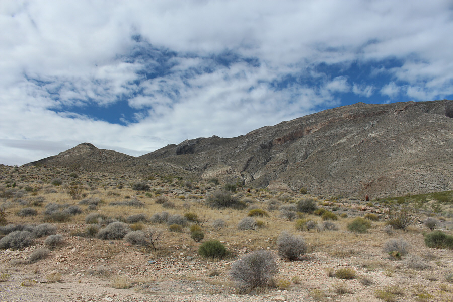 |
In this view from the parking spot,
the summit is the little bump just slightly left of centre. |
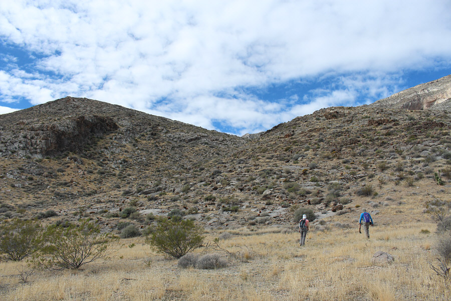 |
Dinah and Bob start to head up the
ridge in front of them. |
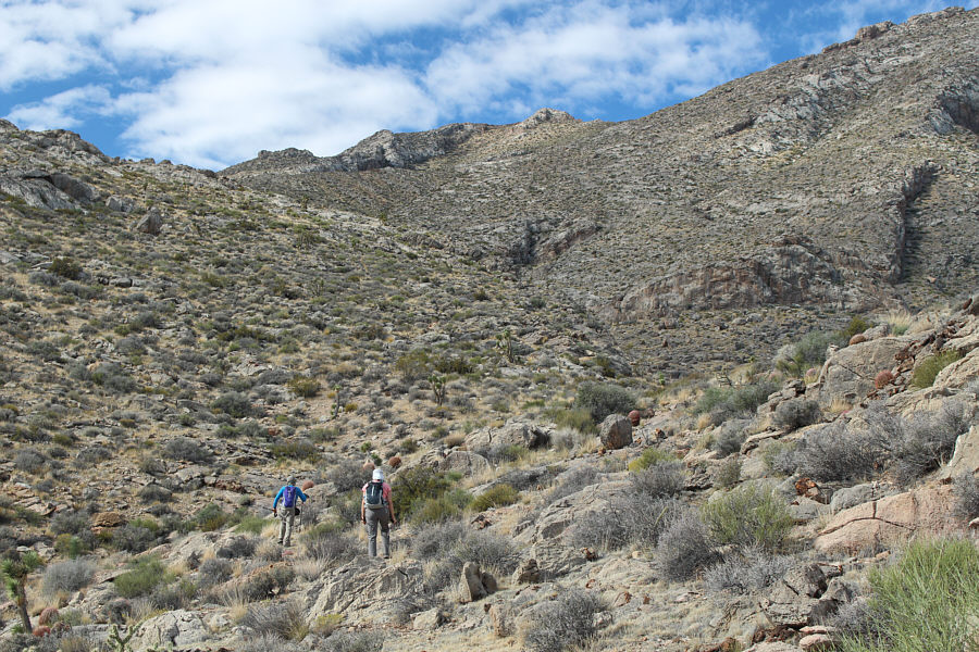 |
The summit is visible directly ahead,
but the route swings to the left and eventually goes up the left
skyline. |
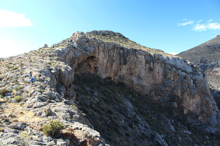 |
Dinah and Bob skirt the edge of some
impressive cliffs. |
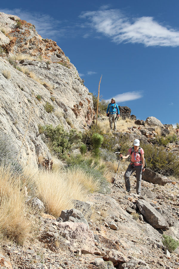 |
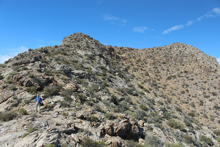
Bob and Dinah traverse below the ridge crest in search of an easy way
up the cliff bands on the left. |
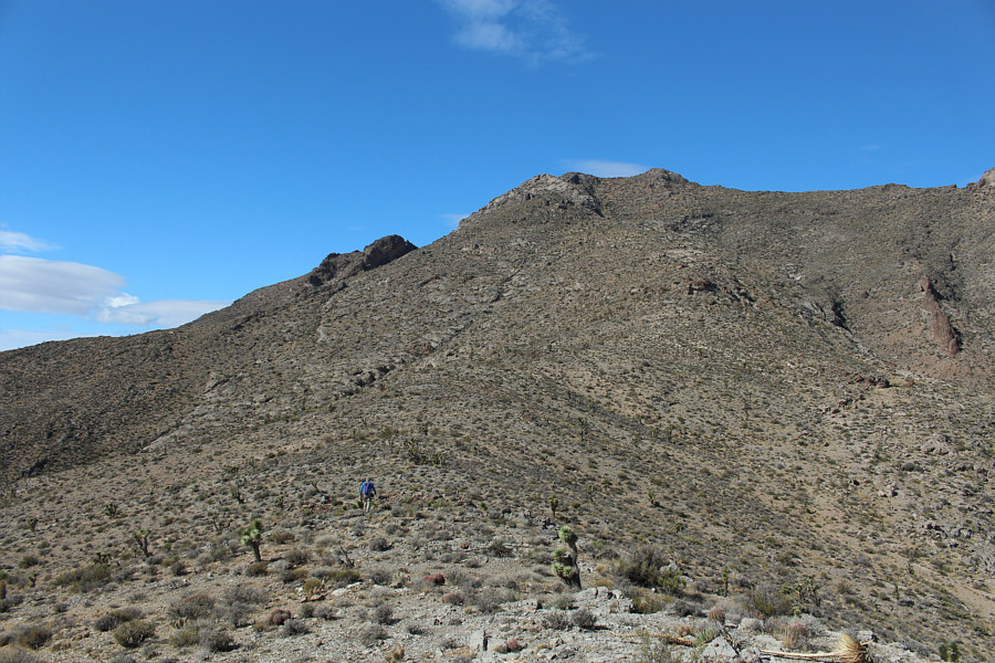 |
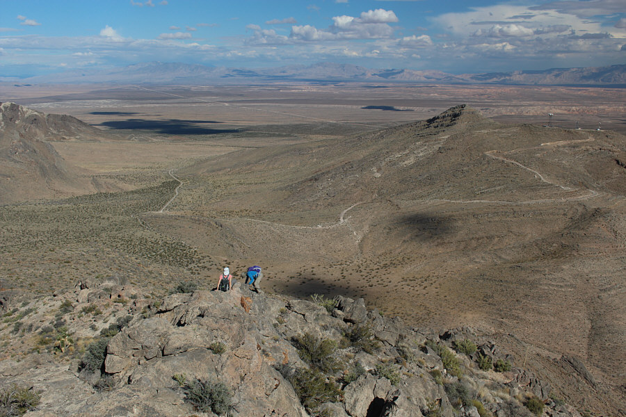
After reaching a plateau and
descending slightly, Bob continues up the east ridge of Davidson
Peak. |
 |
Bob looks east toward the sub-peak of
Davidson Peak. Much of the ascent route is also visible here. |
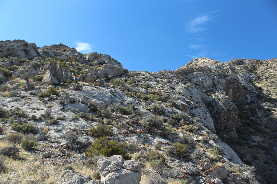 |
The ridge begins to narrow at this
point. |
 |
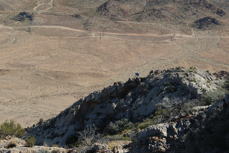
This section requires a little
hands-on scrambling. |
 |
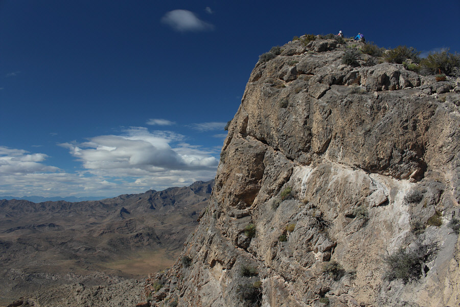
Bob and Dinah approach the false
summit on the left. The true summit is on the right. |
 |
Precipitous cliffs appear on the west
side of Davidson Peak. |
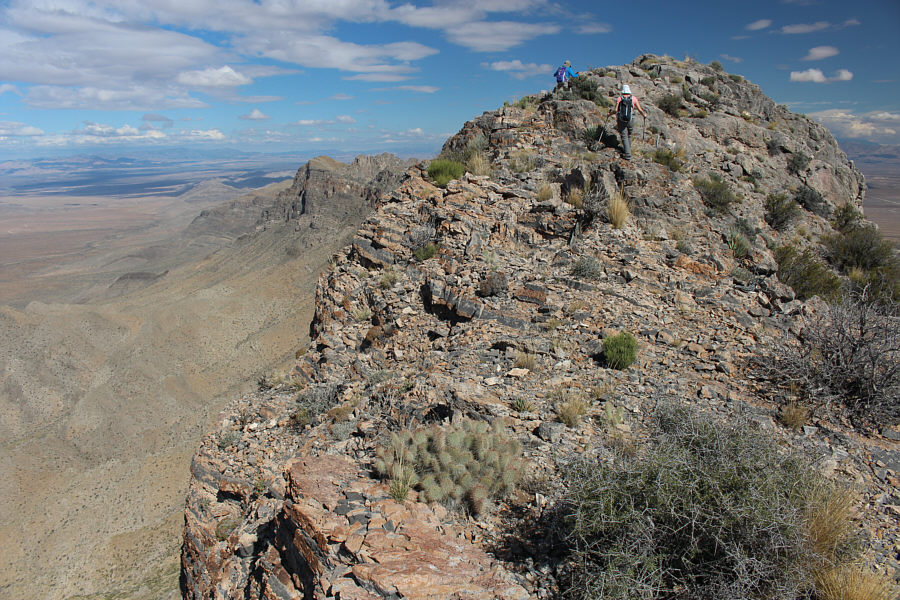 |
Bob and Dinah take the last few steps before the summit. |
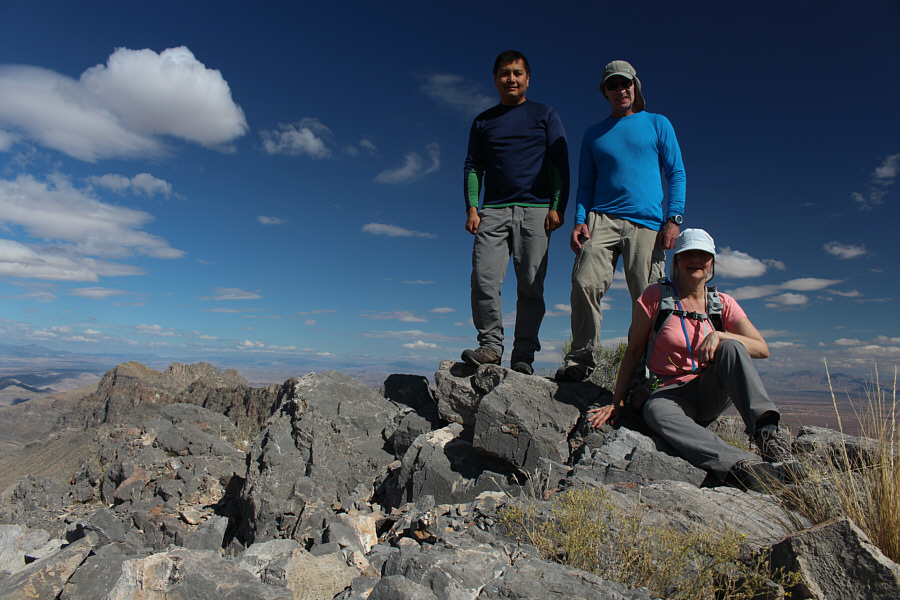 |
Sonny, Bob and Dinah pose on the summit of Davidson Peak (1623 metres). |
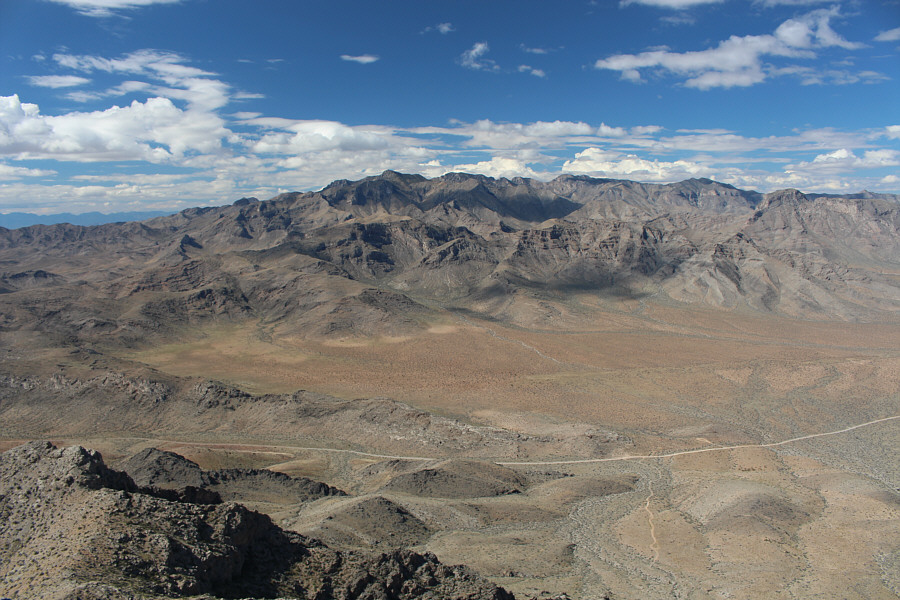 |
To the northwest is Mormon Peak, the highest point in the Mormon
Mountains. |
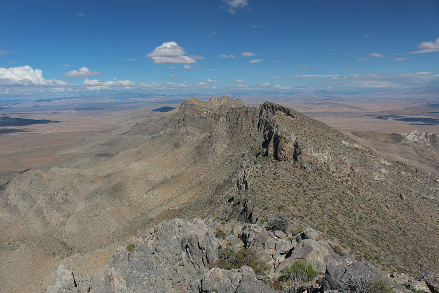 |
Davidson Peak's north ridge has several interesting bumps. |
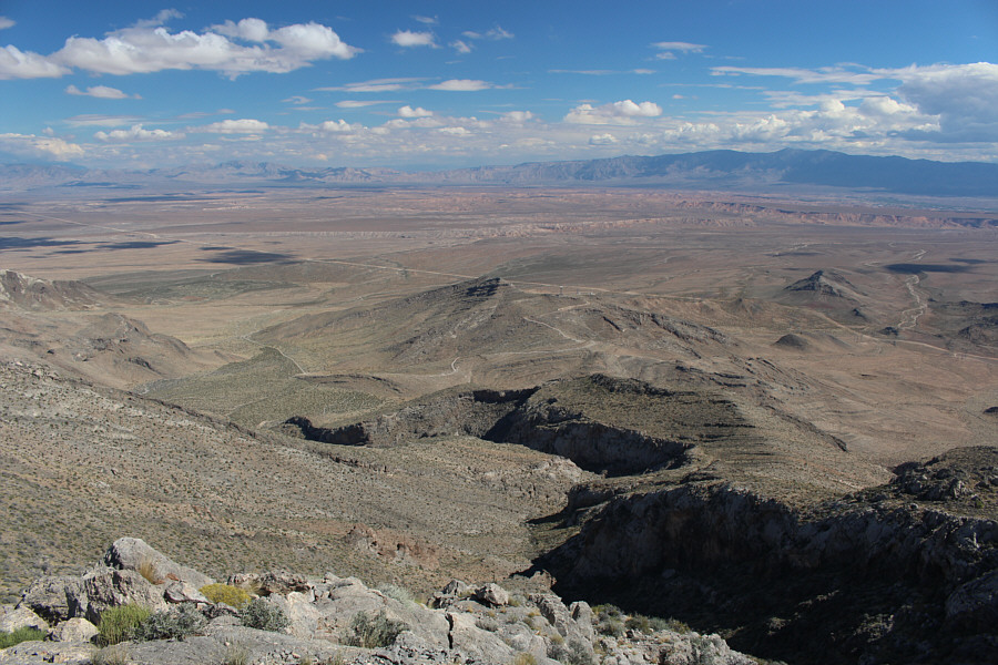 |
This is looking down at the sub-peak and east ridge from the summit. |
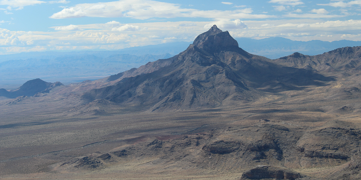
The most striking view from the summit is Moapa Peak to the
southwest.
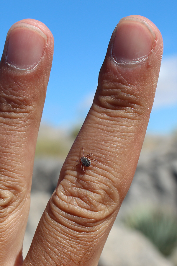 |
Ticks are apparently alive and well in
the desert in October. |
 |
Bob and Dinah carefully descend the
steepest and narrowest part of the east ridge. |
 |
Dinah and Bob descend another tricky
spot on the east ridge. |
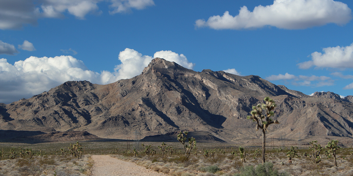
Here is one last look at Davidson Peak from the
approach road.
 |
Total
Distance: 8.1 kilometres
Round-Trip Time: 5 hours 5 minutes
Net Elevation Gain: 679 metres
GPX Data |