
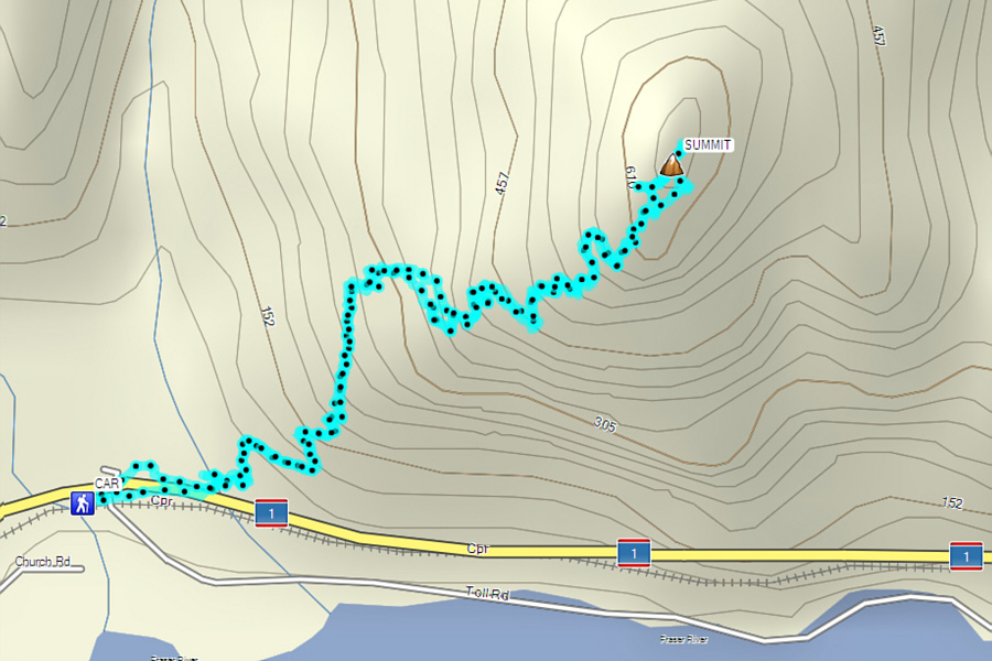
Round-Trip Time: 3 hours 26 minutes
Net Elevation Gain: 595 metres
|
|
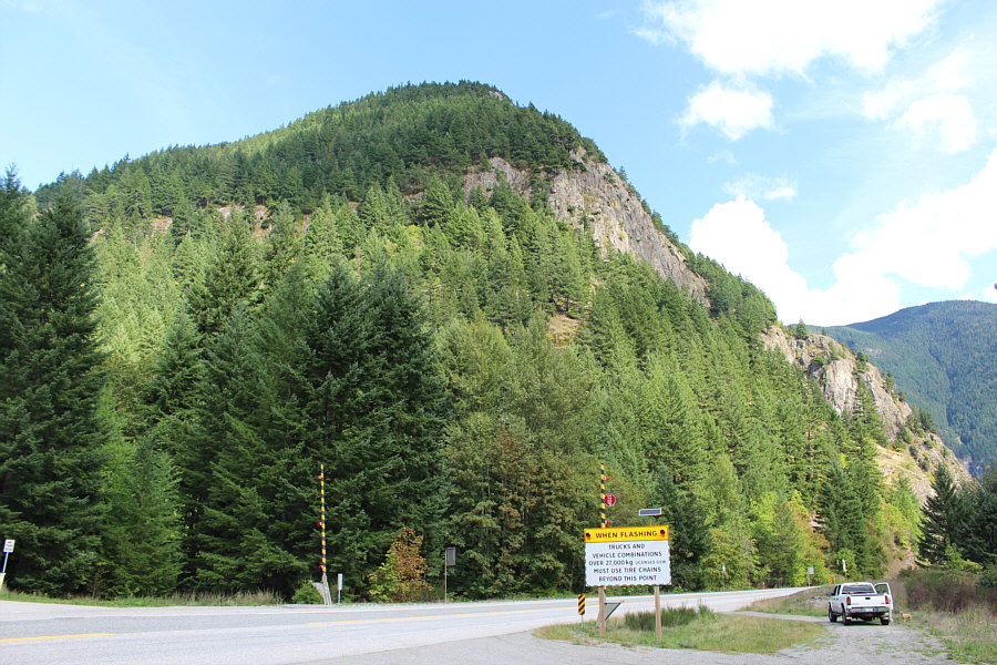
Mount Lincoln rises above the Trans Canada Highway in this view from the trailhead parking area. |
|
|
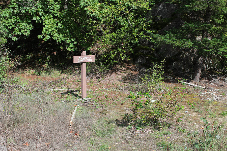
A sign marks the start of the trail. |
|
|
A rope provides some security on a very steep section of trail. |
|
|
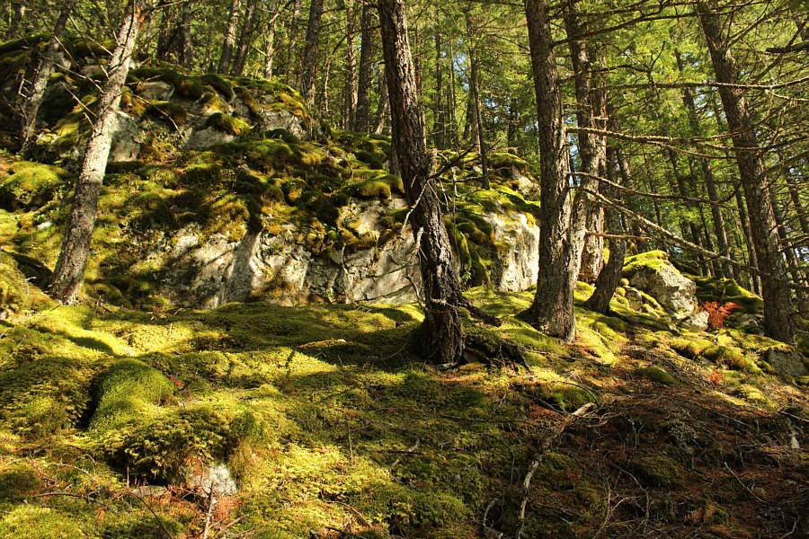
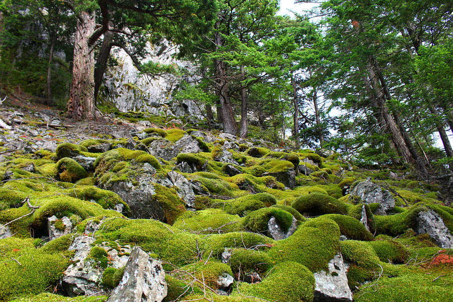
Moss covers many of the rocks on this mountain. |
|
|
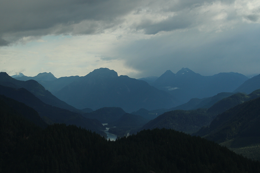
Clouds begin to roll into the Fraser River valley in this view to the south. At centre is Hope Mountain. |
|
|
The moss here is quite luxuriant. |
|
|
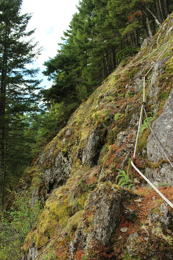
Another rope provides security on a fairly exposed section of the "trail" (more like a route at this point). |
|
|
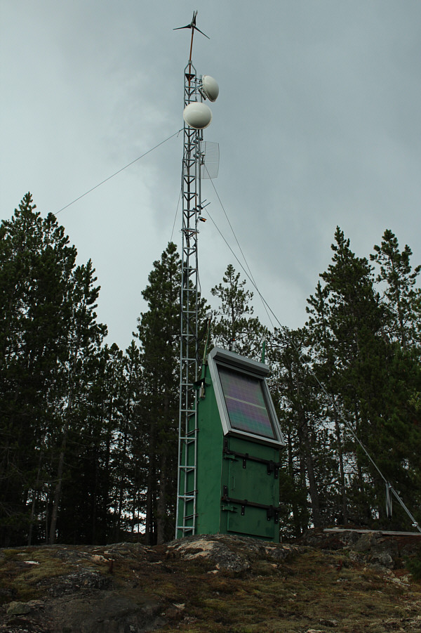
An antenna is located close to the summit. |
|
|
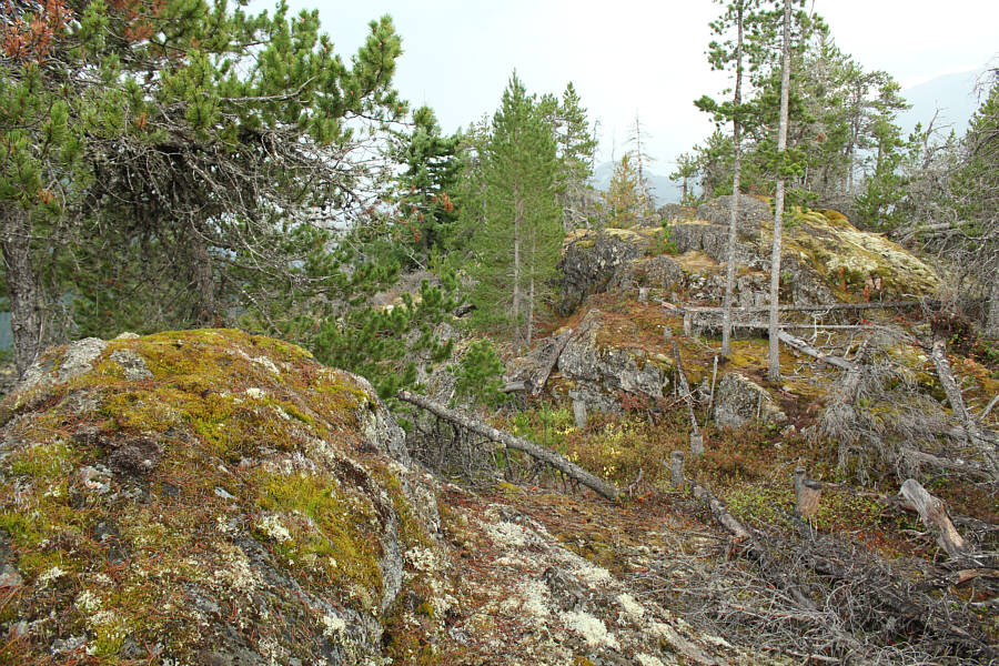
The summit consists of two bumps of equal height. |
|
|
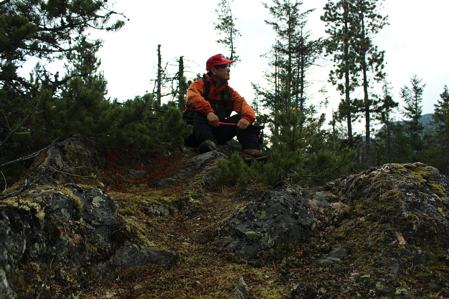
Sonny takes a seat on the southern summit (651 metres). |
|
|
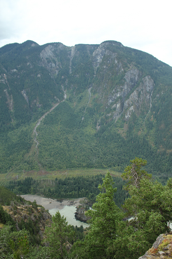
Across the Fraser River to the southeast is Mount Allard (right-hand peak). |
|
|
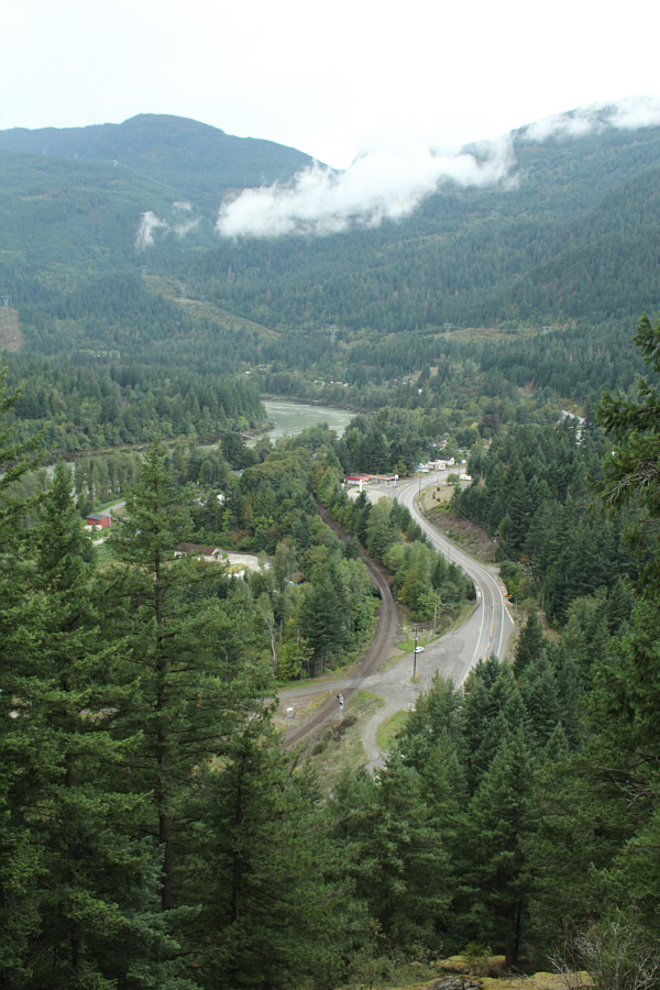
The town of Yale and the trailhead parking area are visible through a break in the trees on the lower part of the mountain. |
|
|
Total Distance: 4.5 kilometres Round-Trip Time: 3 hours 26 minutes Net Elevation Gain: 595 metres |