BOU AVENUE
Mesquite Mountains
On 20 October 2015, Shin Goto, Dinah Kruze, Bob Spirko and I headed into a somewhat remote corner of California's Mojave Desert to hike up the high point of a collection of ridges known as Mesquite Mountains.  Starting from a pullout beside the gravel Kingston Road, we marched eastward across the desert flats aiming for a north-south trending ridge in the distance.  Other than having to avoid cacti and other prickly vegetation along the way, the hiking was easy, but I found it to be monotonous after awhile.  I perked up a bit once we started climbing up the ridge.  An avoidable Class 3 crack just before the high point provides an opportunity for some hands-on fun, but sadly, it is much too short-lived.  After stopping for lunch, we essentially returned the same way we came.  Again, the long walk across the desert flats was less than inspiring, and we each ended up with our fair share of scratches on our arms before we returned to the pullout.  Adding insult to injury, we later stopped in Primm, Nevada so that Dinah could pick up her favourite Philly cheesesteak sandwich in the world only to find that the food vendor had permanently closed.  What a bummer!

Be sure to check out Bob's trip report.
Ugh. We have a long walk ahead of us... 
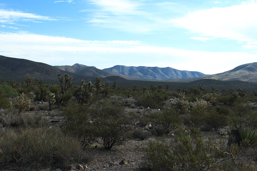
The high point of Mesquite Mountains is at centre on the horizon over 8.5 kilometres away.
I think Dinah approves! 
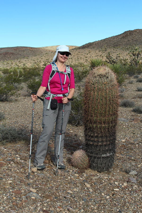
Dinah stands beside a large barrel cactus.
As tame as they look, those bushes are nasty. Very nasty! 
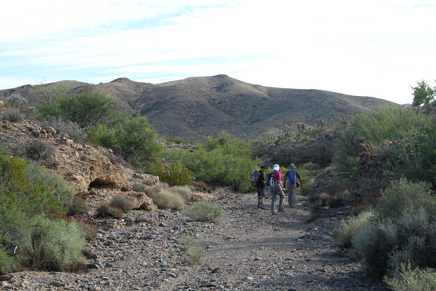
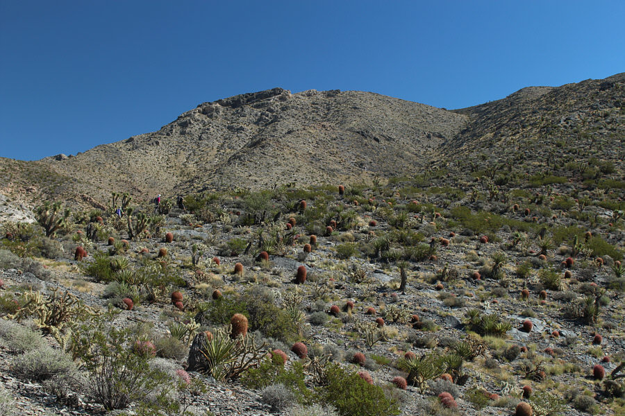
The group hikes along one of several washes along the way to the high point of Mesquite Mountains.
Must be hard to put a condom on this thing... 
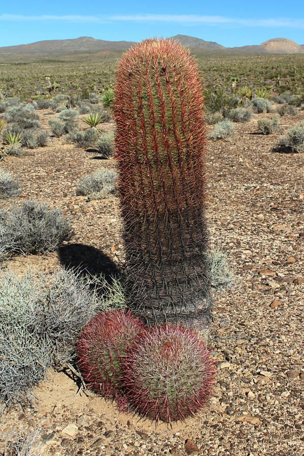
This prickly barrel cactus would likely be a big tourist attraction in a less remote area!
It was actually a relief to start climbing upwards after the long, exhausting trek across the flat desert! The group heads for the slope at far right.  The high point is on the long dark band of rock at left.
There was actually a big horn sheep here (see Bob Spirko's trip report). Wonder where it gets water to drink around here... 
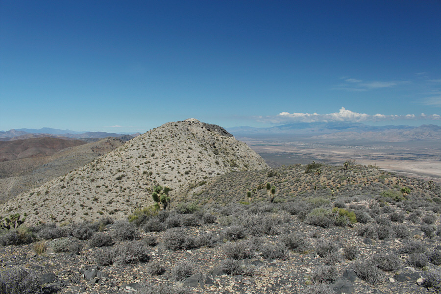
Here is the high point as seen from the crest of the south ridge.
The high point is not so easily won though... 
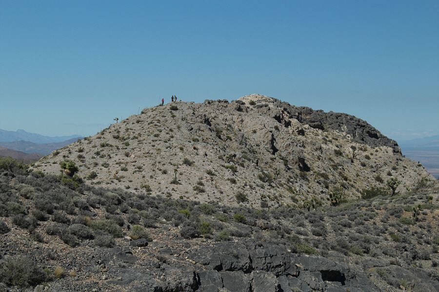
The group approaches the high point of Mesquite Mountains.

 Some hands-on scrambling--yay.

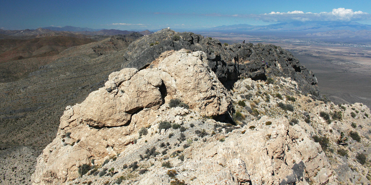
The Class 3 crack is just left of centre in the white rock.  Shin, Dinah and Bob can be seen scrambling up an easier alternate route in the dark rock.


Shall we dance? 
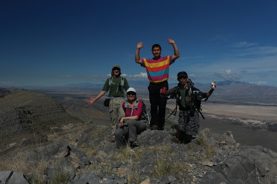
Bob, Dinah, Sonny and Shin stand on the high point of Mesquite Mountains (1574 metres).
April Fools' Day, eh? Are we sure this is the high point?? The register is still in good shape.
When does ski season start around here? This would make for a better ski trip, I think! 
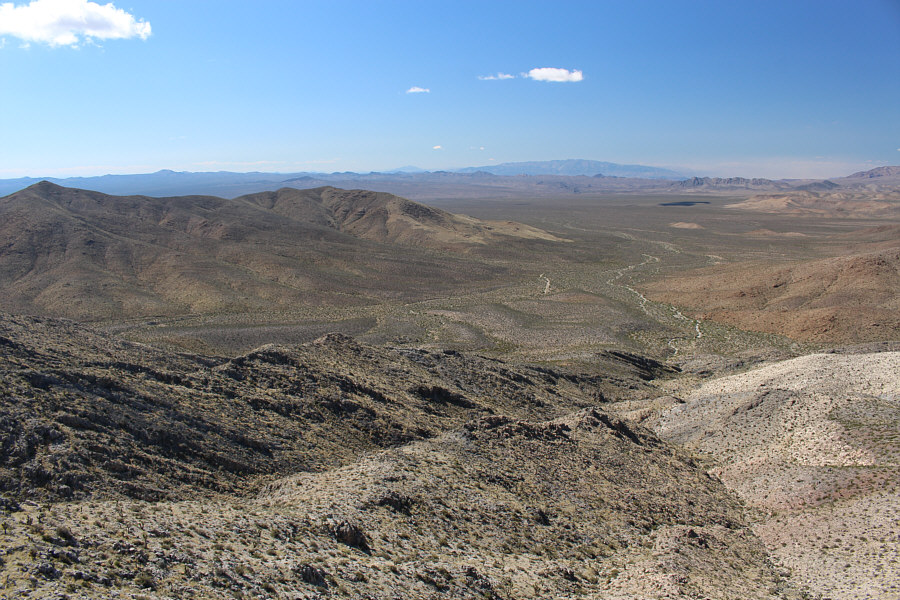
The view to the west of the long approach is not encouraging.
I'd like to return and climb Kingston Peak in the future. 
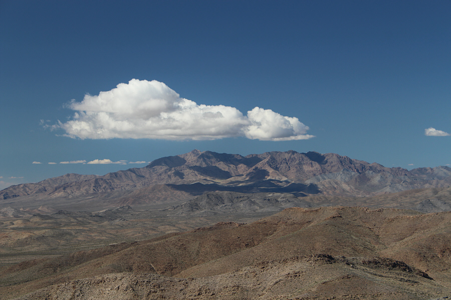
Clouds hover over Kingston Peak to the northwest.
Who lives out here, and what do they do for a living?? 
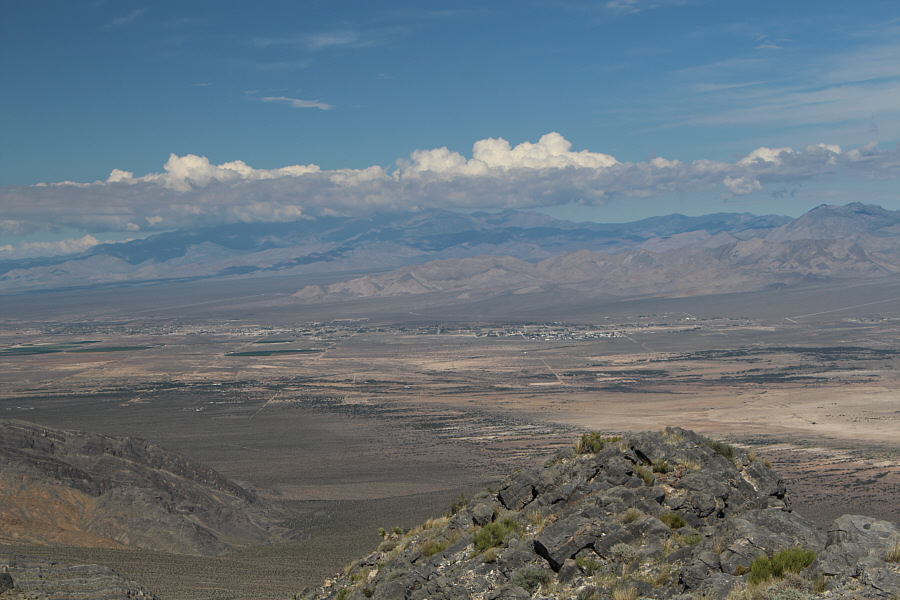
Clouds cover most of the Spring Mountains to the north.  The community of Sandy Valley can be seen just across the California-Nevada border.
I find dry lakes quite fascinating! 
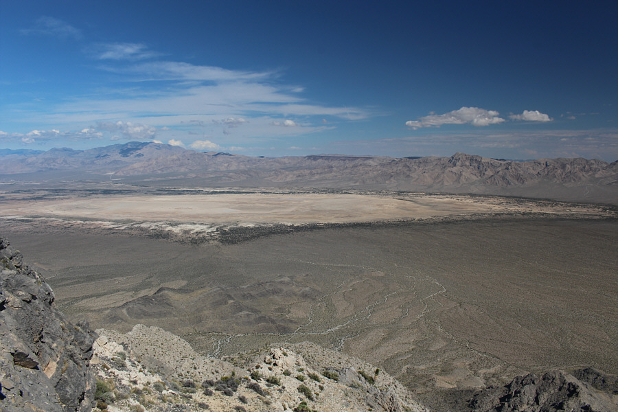
To the northeast is Mesquite Lake (dry lake).
Probably the least troublesome (ie. easiest to avoid) of all the vegetation in the area. 
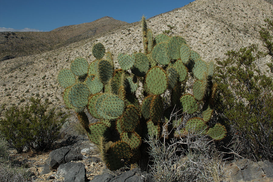
Here is an example of pancake prickly pear cactus.

 Hee Haw!

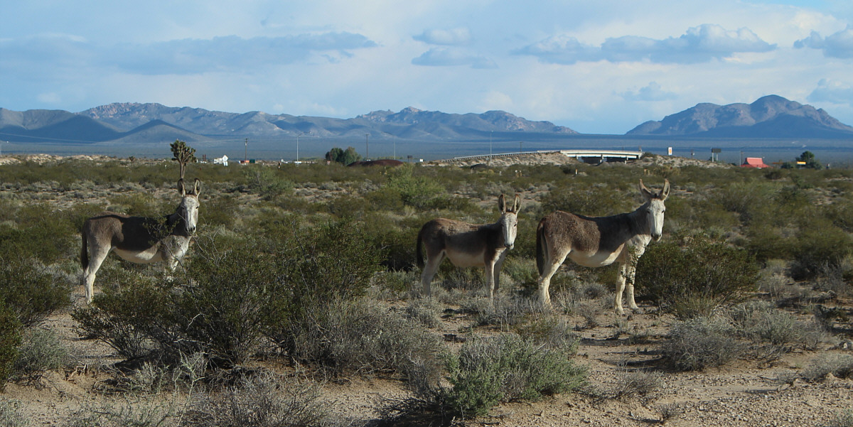
A family of wild donkeys forage not far from the highway.


The exciting finish doesn't really justify this slog-fest. Total 
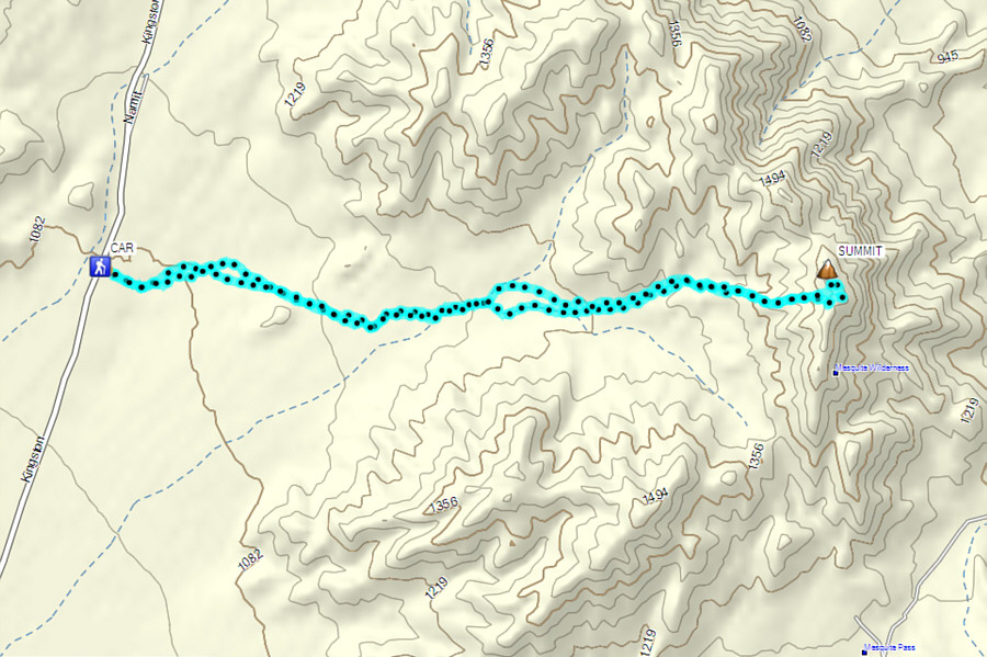
Distance:  17.2 kilometres
Round-Trip Time:  6 hours 2 minutes
 Net Elevation Gain:  498 metres

GPX Data